
Place
Challenging
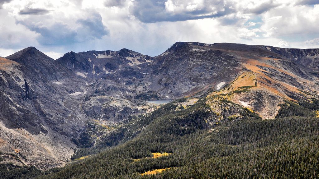
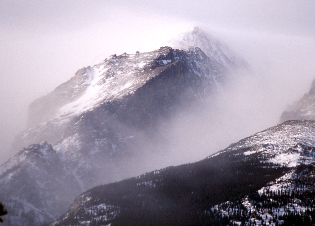
This is one of the park’s standout alpine days: roughly 9.5 miles total, out-and-back, with about 2,400 feet of gain. You’ll spend most of the hike above treeline on the Continental Divide, which means huge views and also full exposure to wind, sun, and summer storms. It’s strenuous, but not because of any single brutal climb—the challenge is altitude, distance, and the rocky, off-trail finish to the 12,889-foot summit.
Start at the Poudre Lake/Milner Pass area on Trail Ridge Road and head out through subalpine forest, briefly circling the lake before climbing to open tundra. About a mile in, you pop above treeline and travel a rolling ridge with sweeping vistas. Around 3.5 miles, after a short descent to a saddle near 12,000 feet, the constructed trail fades. From here, it’s roughly 1.2–1.3 miles of off-trail travel on tundra, talus, and boulder fields, with occasional cairns and light scrambling leading to the summit. A downloaded map is smart—route-finding isn’t hard in clear weather, but it’s not always obvious.
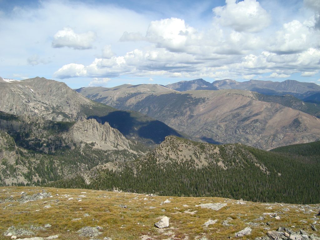
Views are the star from start to finish: the Never Summer Mountains to the west, the Mummy Range to the northeast, and big-name peaks like Longs Peak to the southeast. Below the summit, look into the cirque for Azure Lake and Inkwell Lake. From the top, expect true 360-degree panoramas including Terra Tomah Mountain, Mt. Julian, Cracktop Mountain, the Kawuneeche Valley, Julian Lake, Big Meadows, and even Shadow Mountain Lake. Wildlife sightings are common—marmots, pikas, bighorn sheep, and elk all work this terrain.
The final stretch is off-trail on fragile tundra and blocky rock; take your time, watch your footing, and spread out if you’re in a group to minimize impact. Weather turns quickly at this elevation. Summer afternoons often bring thunderstorms and lightning along the Divide—an alpine start is mandatory, with a goal to be off the summit before noon. Expect strong winds and cool temps even on warm days. Altitude is real here; it’s not a good first hike of your trip if you’re not acclimated.
July through September typically offer the best window, when snow has mostly cleared. Go early in the morning for calmer weather, easier parking, and softer light. Weekdays are quieter. Shoulder seasons can hold snow and ice—check recent conditions before committing.
Parking at Milner Pass/Poudre Lake is limited (about 22 spaces), so arrive early. A timed-entry permit is required to access the park in season, and a park entrance pass/fee applies. Restrooms are noted at or near the lot. Bring layers (including hat and gloves), sun protection, plenty of water and calories, and trekking poles if you like extra stability on the descent and boulder fields. Download your map for the off-trail summit push and practice Leave No Trace in the tundra.
Park at the Milner Pass/Poudre Lake lot on Trail Ridge Road; it’s small (about 22 spaces), so arrive early. Restrooms reported at/near the lot. Timed-entry reservation (in season) and park entrance pass are required.
Start at dawn and plan to be off the summit by noon to avoid lightning. Expect strong winds, full sun exposure, and rapid weather shifts. The final 1.2–1.3 miles are off-trail across tundra and boulder fields with limited cairns—download a map and watch your footing. High altitude adds difficulty; acclimate before attempting.
Place
Place
Place
Place
Challenging
Moderate
Moderate
Challenging

Parkwolf Tour Guide
