
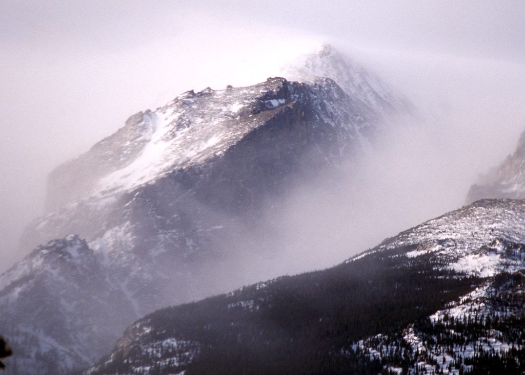
Place
Challenging
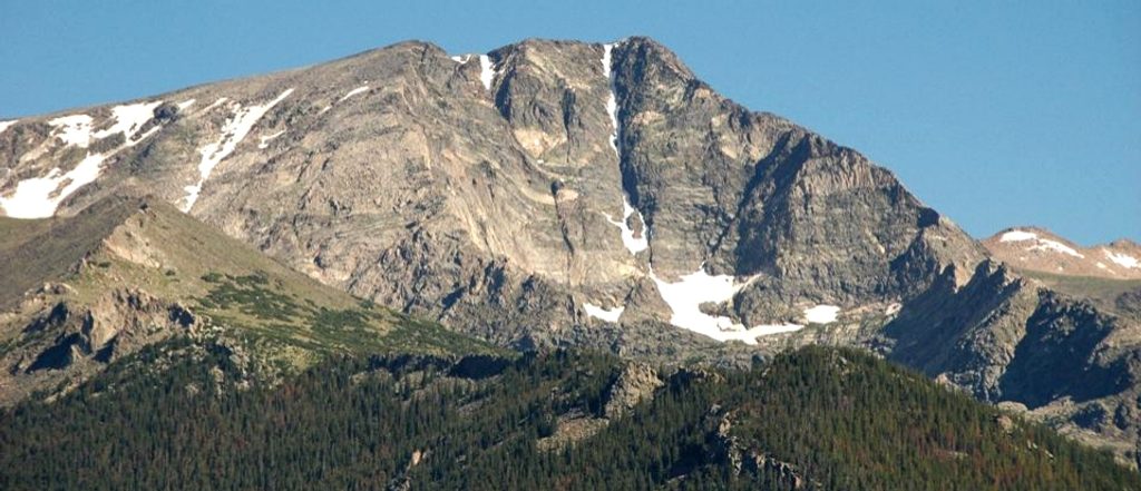
This is the classic ridge day to Ypsilon Mountain, linking Mount Chapin and Mount Chiquita on the way. Expect a stout, high‑alpine outing with real talus underfoot, a few faint social paths, and the kind of views that make you forget the burn in your calves. The loop is typically done as an out‑and‑back ridge traverse at about 8.4 miles total with roughly 3,458 feet of gain.
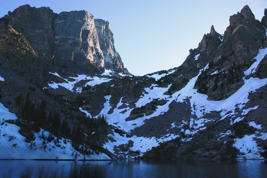
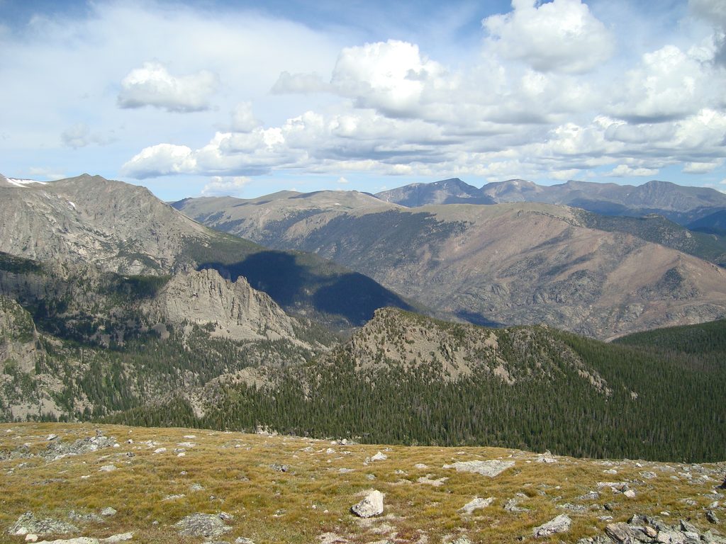
Above treeline, you’ll walk tundra and talus with a constant panorama across the Mummy Range. The real show is Ypsilon’s southeast face: twin snow couloirs forming a giant “Y” and a deep glacial cirque holding the Spectacle Lakes directly below the cliffs. To the east, the chain of lakes around Ypsilon Lake and Chipmunk Lake sits in classic granite scenery. Mid‑July often brings a bonus bloom of alpine wildflowers on the ridge.
From Chapin Pass, you can either tag Mount Chapin or take a lower line that bypasses it—nice flexibility depending on energy and weather. The ascent of Chiquita is steep and sustained, and the final climb to Ypsilon comes after dropping to the saddle. Above the Chiquita–Ypsilon saddle the path can be faint, with cairns that splinter or disappear in talus—expect light Class 2 travel and a bit of route‑finding. It’s exposed to wind and weather; even mid‑summer can feel cold and you may step over lingering snow near treeline.
Plan for summer into early fall, roughly early July through early/mid‑October, which aligns with vehicle access to Old Fall River Road and typical snow‑free travel on the ridge. Start pre‑dawn and aim to be off the high points by midday to dodge the usual afternoon thunderstorms. July–August often brings “summer conditions,” while October days can be windy and below freezing on the summits.
Access is via Old Fall River Road to the Chapin Pass trailhead—it's a one‑way dirt road that climbs to the Alpine Visitor Center, with a return via Trail Ridge Road. Parking is extremely limited (reports of the small lot half full by 5:30 a.m. on summer mornings), so arrive very early. Acclimatize if you’re coming from low elevation, and carry a downloaded map: sections are unofficial, unmaintained, and intermittently off‑trail. Rocks can be slick when wet; expect wet feet if snow patches linger.
Keep an eye out for marmots and elk in the basins; moose have been seen on the Ypsilon Lake side of the mountain—give all wildlife plenty of space.
If you’re more about water than summits, the Ypsilon Lake Trail from the Lawn Lake Trailhead makes a worthy lake‑centric day, with an optional, steep, off‑trail scramble to the Spectacle Lakes beneath Ypsilon’s walls. Technical scramblers with experience sometimes climb Ypsilon via ridges like Blitzen or Donner from that side—these involve exposed Class 3–4 and beyond and are not hiking routes.
Chapin Pass Trailhead on Old Fall River Road; extremely limited spaces with roadside spillover—arrive very early. Old Fall River Road is one‑way and ends at the Alpine Visitor Center; return via Trail Ridge Road.
High, exposed ridge with fast‑building thunderstorms, strong winds, and lingering early‑season snow; expect off‑trail travel, faint paths, and slick rock when wet—start early, carry maps, and be comfortable with Class 2 talus.
Place
Place
Place
Place
Challenging
Moderate
Moderate
Challenging

Parkwolf Tour Guide
