
Place · 0.5 mi away
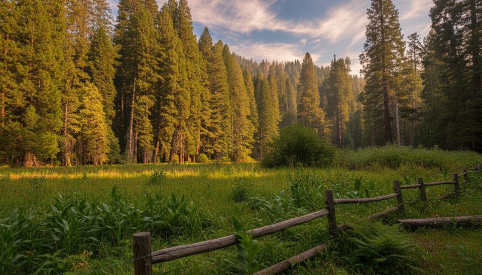
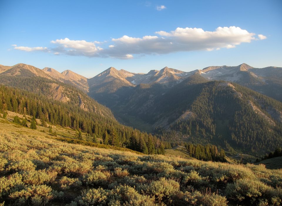
If you want giant sequoias without the tour-bus vibe, Redwood Meadow Grove delivers. Tucked deep in the backcountry, this quiet meadow is ringed by young sequoias with a handful of real giants visible from the trail. It’s peaceful, remote, and feels downright old-school—more John Muir than visitor center.
Most hikers reach the grove via the Middle Fork Trail. Expect a big day: reports peg the out-and-back to the Redwood Meadow junction at roughly 22.6 miles with about 4,400 feet of gain, and many people plan it as an overnight. The trailhead is reached by driving toward Buckeye Flat; if that road is closed, you can park at Hospital Rock and walk a couple of miles to the trailhead.
There’s also a tougher alternate approach via Mineral King Road using the Paradise Ridge–Redwood Meadow Trail, about 8.7 miles with roughly 2,800 feet of elevation gain. It’s shorter but described as difficult.
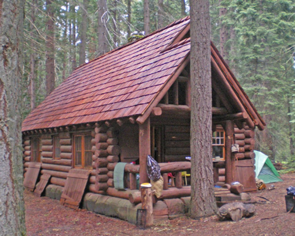
The grove centers on a broad, grassy meadow fenced to keep horses out, with numerous smaller sequoias around the edge and about half a dozen big trees you’ll notice right from the trail. A simple backcountry campsite sits beneath two large sequoias at a trail junction, and there’s a nearby horse camp with cabins and a corral. No developed facilities—just the trees and the quiet.
Sections of the Middle Fork Trail can be brushy and overgrown, with poison oak in season. Stream crossings like Panther Creek are usually manageable but can run higher during snowmelt—trekking poles help. Shade comes and goes, so heat can sting on exposed stretches. Water is typically found at Panther Creek and Mehrten Creek; treat or filter everything. Signage thins out in wilderness sections, so bring an offline map.
This is a backcountry destination: a wilderness permit is required for trips on these trails. Plan for no services—no restrooms, no potable water, and no hookups of any kind. Store food properly and follow standard bear-aware practices. Don’t confuse this grove with the drive-in Redwood Meadow Campground in the neighboring national forest; that’s a different place entirely.
Spring and fall are the sweet spots—cooler temps, flowing creeks, and fewer trail hazards. Start early to beat heat on exposed sections and to give yourself margin for creek crossings. Snowmelt can raise water levels in late spring. Crowds are minimal any time because of the distance, but weekends still see more backpackers than weekdays.
Place · 0.5 mi away
Place · 3.4 mi away
Place · 4.3 mi away
Place · 4.3 mi away
Challenging · 5.7 mi away
Challenging · 5.9 mi away
Challenging · 5.9 mi away
Challenging · 5.9 mi away

Parkwolf Tour Guide
