Place · 0.8 mi away

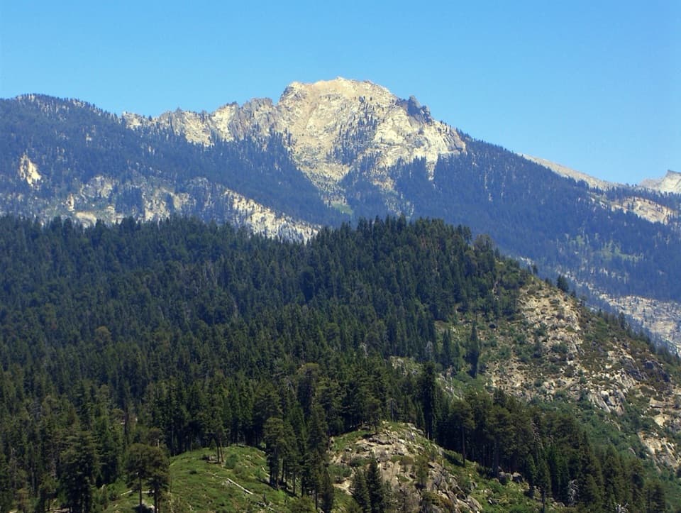
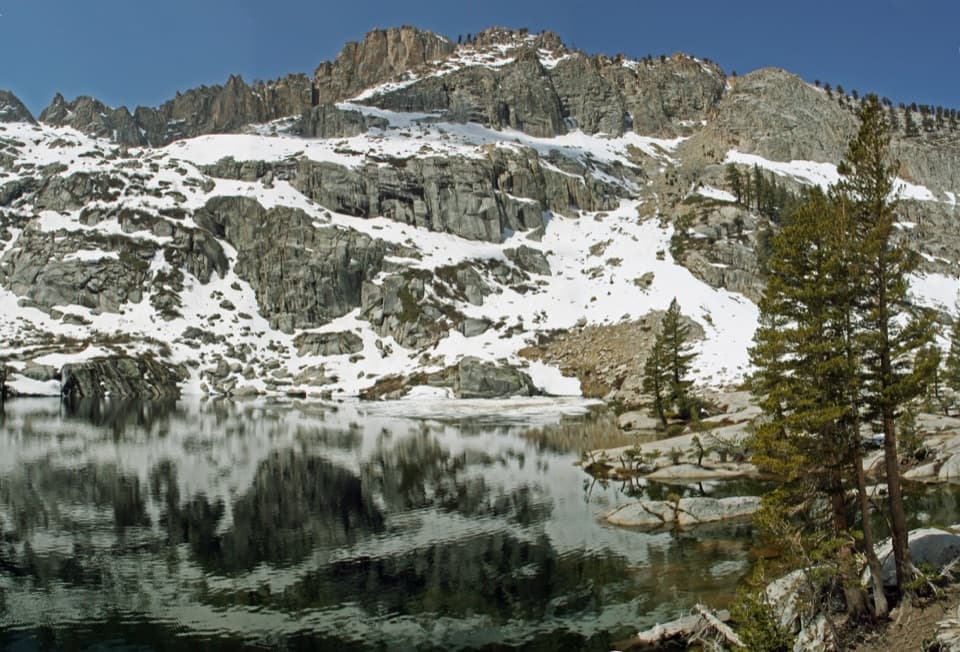
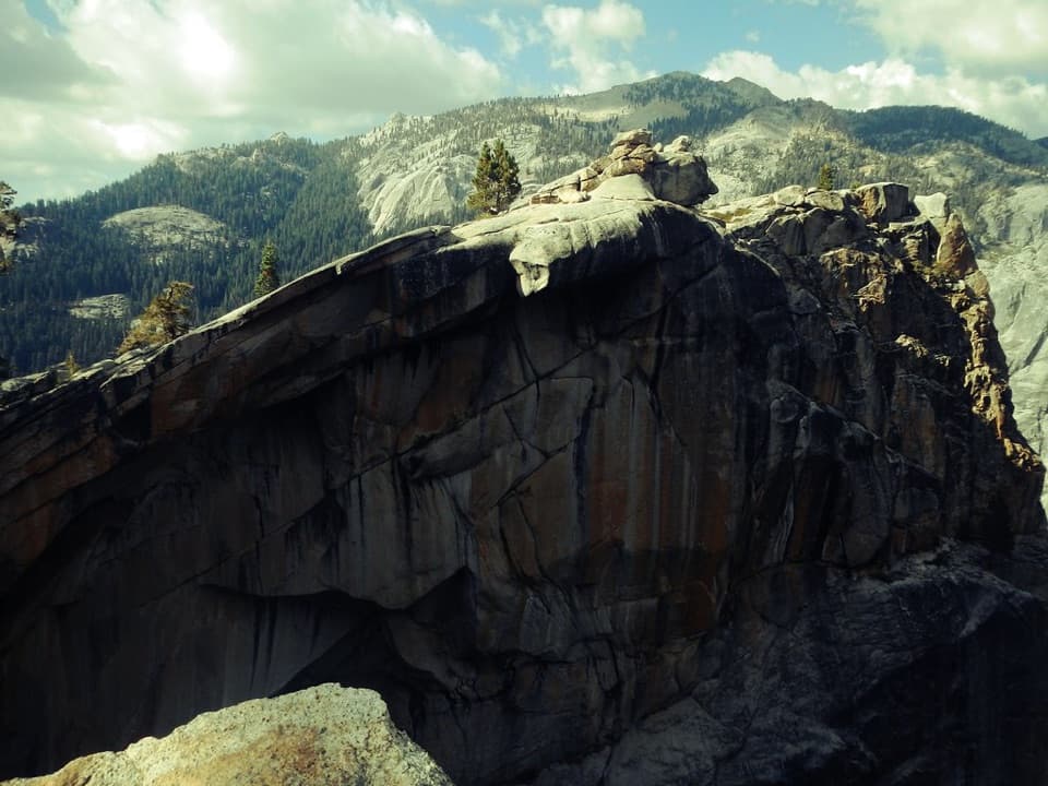
Alta Peak tops out around 11,200 feet and delivers the kind of wide‑open, Sierra‑crest panorama you daydream about. It’s a demanding summit day that rewards you with sweeping views of the Great Western Divide and a classic high‑country feel from foxtail pines to sun‑bleached granite.
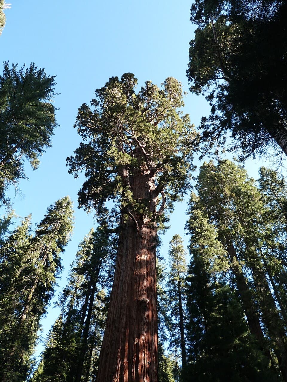
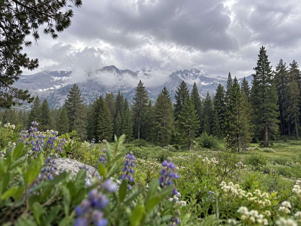
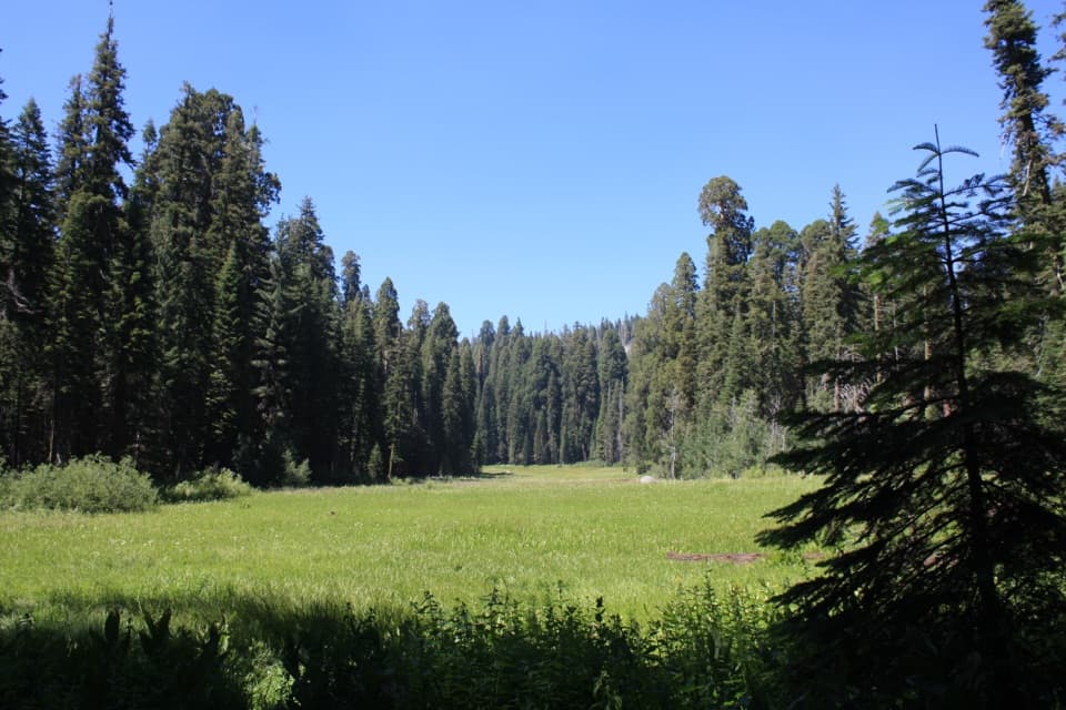
Most hikers start at Wolverton and follow a clear, signed route: Wolverton > Panther Gap > Alta Trail to the summit. Expect roughly 13.5–15 miles round‑trip with about 4,000–4,400 feet of gain, taking 7.5–10 hours for most. The first half climbs steadily under fir and pine, then opens to meadows and views after Panther Gap. The last 1–2 miles are the crux—steep, high‑altitude switchbacks on open granite with a short, easy scramble to tag the true summit. Cairns help across the slabs, and marmots often patrol the top.
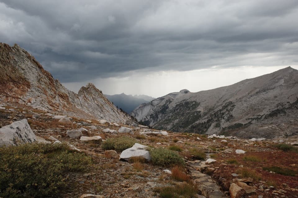
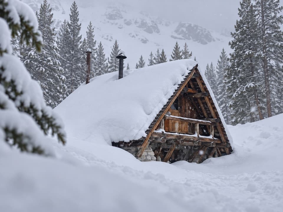
Weather changes fast at altitude here—blue skies can turn blustery in a hurry. Summer afternoons commonly bring wind and storms; start early. Snow may linger on shaded sections into late summer during big snow years, so check conditions. Altitude hits many hikers above 9,000 feet—pace conservatively, eat and hydrate, and turn around if you’re fading.
You’ll pass seasonal streams and meadow trickles lower on the route; treat all water and don’t rely on late‑season flow. Black bears are known around parking areas, and marmots are bold up high—secure food and packs during breaks. Expect mosquitoes in the forested stretches during warm months.
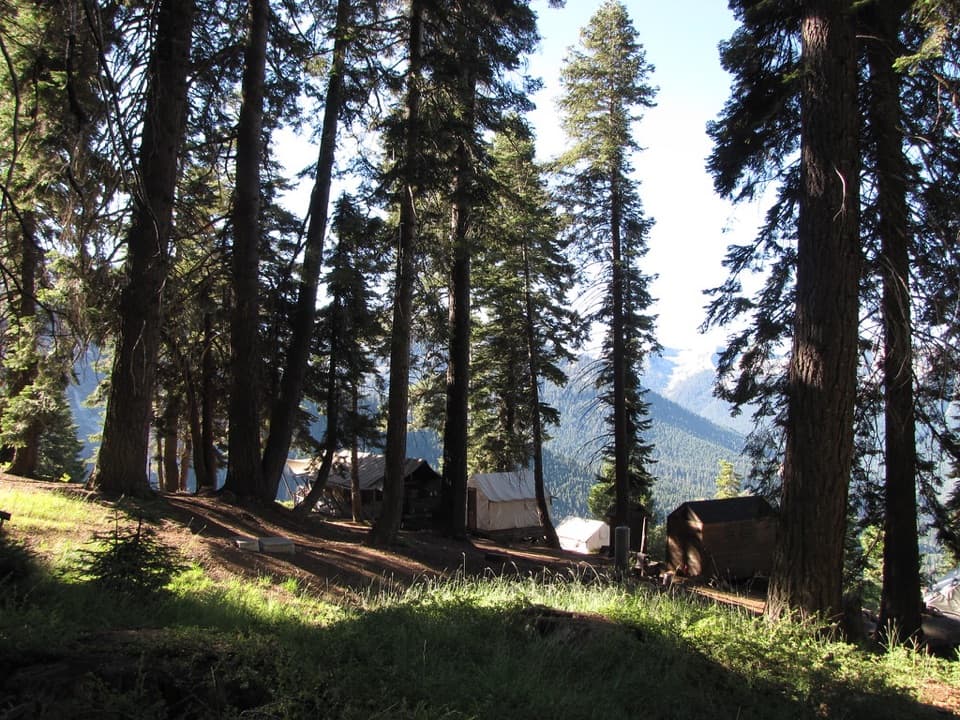
Wolverton has a large parking area and convenient access to the Panther Gap and Alta trails. Nearby picnic facilities include flush toilets and water spigots in season. An alternate approach via Crescent Meadow is possible (vault toilets; typically no water). No permit is needed for day hikes; overnights require a wilderness permit. Popular backcountry camps sit near Panther Gap, Mehrten Meadow, and Alta Meadow, and campfires are not allowed above 9,000 feet.
Before the early 1900s the mountain was called Tharps Peak; maps and usage shifted to Alta Peak in the early 20th century. A rocky outcrop nearby still carries the Tharp name.
Late June through October is the sweet spot most years. Go at first light for cooler temps, steadier weather, and easier parking. Expect wind and stronger sun on the summit by midday; clear morning air typically offers the crispest long‑range views.