Parking
Use Sawtooth Parking Lot at the end of Mineral King Road; Timber Gap Trail starts here and is the access to the pass. The road is narrow, steep, winding and partly unpaved; trailers and RVs are not advised.
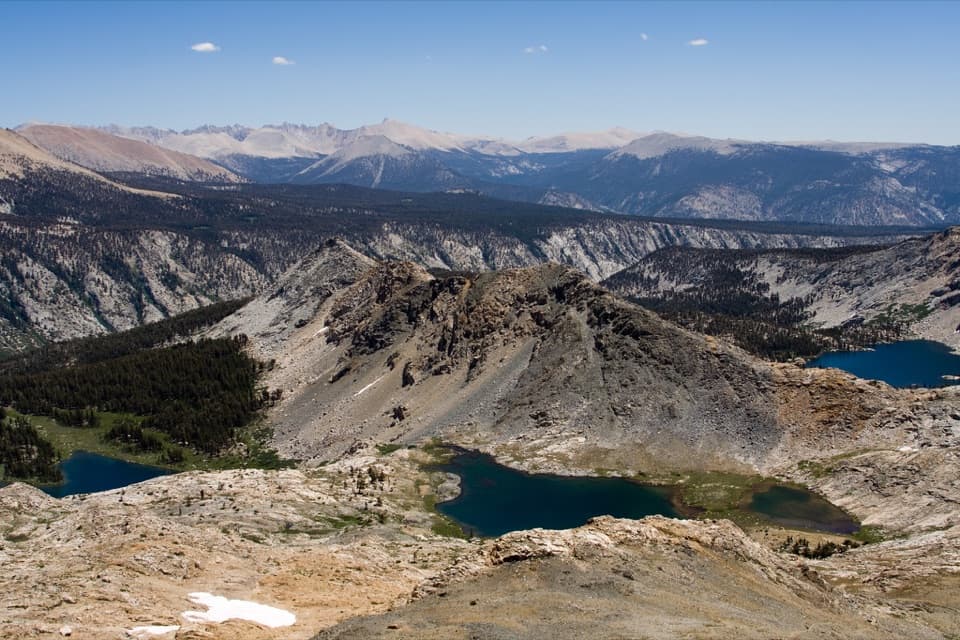
Sequoia National Park, CA
A 23-mile climb to a pass between the Five Lakes basins
Overview
Map & elevation
Plan your hike

The highest, rockiest slopes around here are a summer buffet for grizzly bears.
Sequoia Tour Guide
Parkwolf is a GPS audio tour guide for Sequoia National Park. As you drive, it chimes in with what’s ahead: hidden gems, upcoming stops, history, geology, and wildlife, right through your car’s speakers.
See the Sequoia audio tourRecorded for this area
Sawtooth Trailhead and Monarch Lakes“You're nearing Sawtooth Trailhead, the starting point for a hard hike to Lower Monarch Lake beneath Sawtooth Peak.”
Plays near this trailhead in the Parkwolf Sequoia Tour Guide.
More stories near here in the app
“…The kids and my husband and I all agree that the narration really added to our experience driving through the parks. We learned so much about the history and the flora & fauna.”


Trail guide
This is a 23-mile out-and-back from Sawtooth Parking Lot: climb to Timber Gap, drop to Cliff Creek, then climb to Black Rock Pass at roughly 11,600–11,700 feet. The mapped outbound corridor is 11.5 miles; the return retraces it and climbs back over Timber Gap. Allow about 17–18 hours of trail time across the trip. Most hikers should split it into an overnight rather than force a day return. This is an exceptionally demanding high-country route, chosen for the pass and its views into the Five Lakes basins.
Timber Gap Trail begins at the parking lot and climbs moderately steeply through forest and small lakes. The first allowed campsite is Timber Gap, 2.2 miles in, but there is no water there. From the gap the route drops through forest to Cliff Creek. The crossing is unimproved, so take time to find the tread on the far bank before continuing.
Beyond Cliff Creek, the trail follows the creek past a waterfall toward Pinto Lake. It is a small, marshy lake that can be hidden by willows. Above it, faint paths spread across a meadow; hikers have lost the main tread there, so retrace to the last clear trail if the route becomes uncertain. The climb then steepens over exposed, loose rock and talus toward the pass. Snow can linger at this elevation early in the season.
From the crest, look back toward Spring, Cyclamen and Columbine Lakes below Sawtooth Peak. The opposite side opens over Little Five and much of Big Five Lakes, then toward Big Arroyo, Kern Canyon and the Kaweah Peaks. This is a strong place to stop and look around before turning back; framing a lake below the ridgeline gives the view scale. Continuing down toward Little Five Lakes makes a longer through-route and is outside this return itinerary.
There is no dependable potable water on the route. The park notes no water at the Timber Gap campsite; treat any natural water you collect. Reports describe campsites near Cliff Creek and Pinto Lake, but confirm which sites are allowed for your itinerary. Overnight wilderness travel requires a permit. Silver City Resort has a small market and showers on Mineral King Road, a separate stop with limited supplies.
Start at Sawtooth Parking Lot, the Timber Gap access at the end of Mineral King Road. The road is narrow, steep and winding, with unpaved stretches; trailers and RVs are not advised. Mineral King typically opens from late May through October and closes in winter snow, so check current road and trail conditions before setting out. Pets are prohibited on park trails; service animals are allowed.
Timber Gap follows an old mining route. In the 19th century, miners used red fir for fuel and mine-shaft supports, while Mineral King's metamorphic rocks drew silver prospectors. That history belongs to the approach and region; no specific origin story for the name Black Rock Pass was established.
Wildlife
 691 sightingsBlack BearMost seen around 6 PMSighting map
 17 sightingsMountain LionMost seen around 6 AMSighting map
 18 sightingsBobcatMost seen around 7 PMSighting map
 24 sightingsCoyoteMost seen around 7 PMSighting map
 15 sightingsGolden EagleMost seen around 11 AMSighting map
 20 sightingsSpotted OwlMost seen around 7 PMSighting map
Sighting maps show where each species has been reported across Sequoia. Wildlife moves, so no sighting is guaranteed.
Keep exploring
 ChallengingBig Five and Little Five Lakes Loop31.2 mi · 1.3 days · At the trailheadTwo lake basins, two high passes, and a real backpacking test
 ChallengingTimber Gap Trail4.5 mi · 3.5 hr · At the trailheadA steep climb to a red-fir pass above Mineral King.
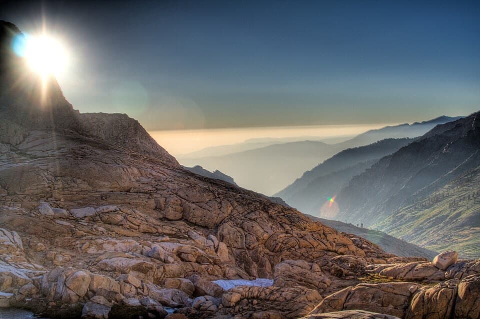 ChallengingSawtooth Pass Trail11 mi · 9 hr · At the trailheadA high, rough climb above Monarch Lakes to Sawtooth Pass.
 ChallengingCrystal Lake Trail9.8 mi · 6.5 hr · At the trailheadA hard climb to a small 1900s dam beneath high Sierra walls.
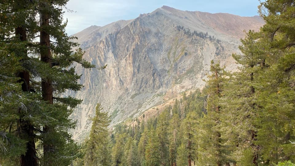 ChallengingMonarch Lakes Trail8.4 mi · 6 hr · 0.2 mi awayA high climb to two lakes beneath Sawtooth Peak
 ChallengingEagle Lake Trail6.8 mi · 4.5 hr · 0.3 mi awayA steep, rocky climb to a high lake above Mineral King.
 ChallengingMosquito Lake Trail7.2 mi · 4.5 hr · 0.3 mi awayA mountain lake above Mineral King, reached by a steady climb.
 ChallengingWhite Chief Trail to White Chief Bowl7.4 mi · 5 hr · 0.4 mi awayColorful marble, old mines and a 10,000-foot Sierra bowl.
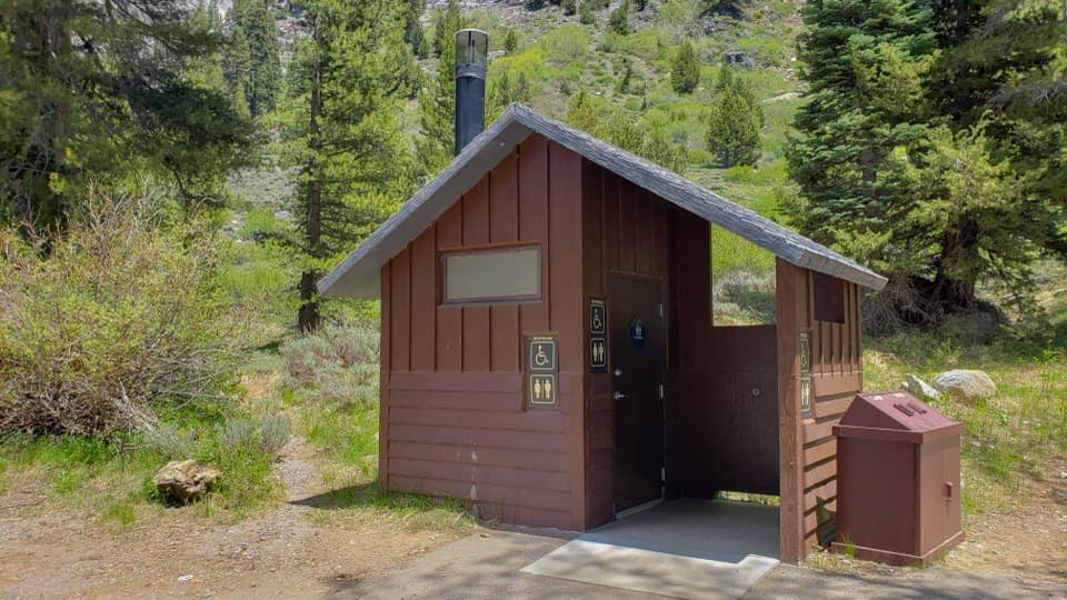 Restroom · 0.2 mi awayEagle-Mosquito Trailhead RestroomA practical restroom before the strenuous Eagle and Mosquito Lakes hikes.
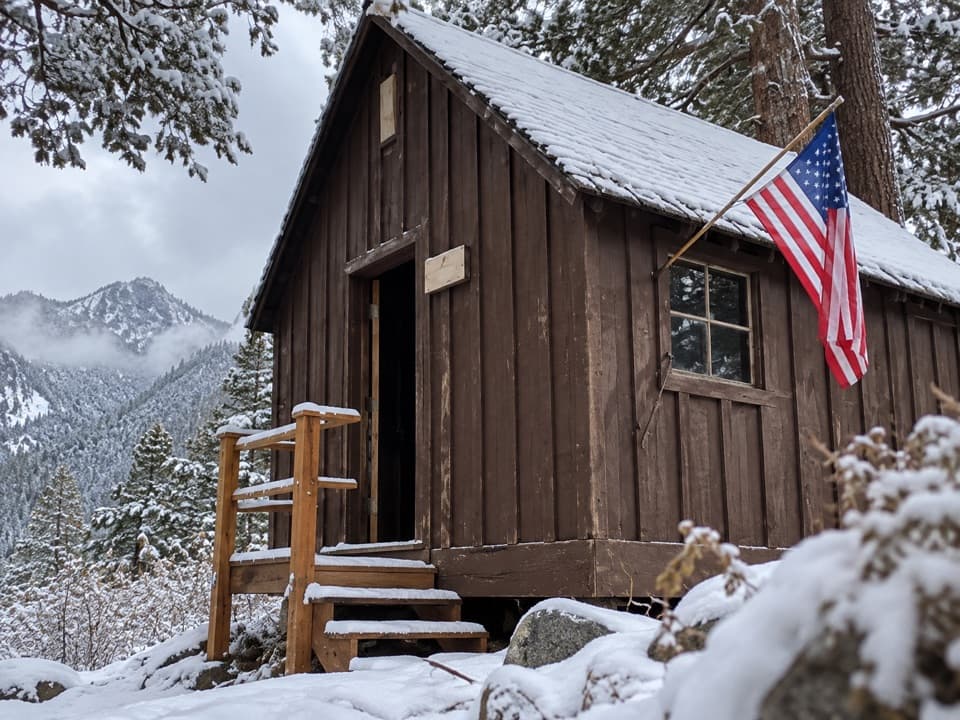 Sight · 0.4 mi awayHoneymoon CabinA cabin shifted eight to ten feet in a slow snow slide.
 Ranger station · 0.8 mi awayMineral King Ranger StationA useful stop for maps, permits, trail advice, and marmot tarps.
 Campground · 1 mi awayCold Springs CampgroundA quiet, tent-only base for Mineral King hikes.
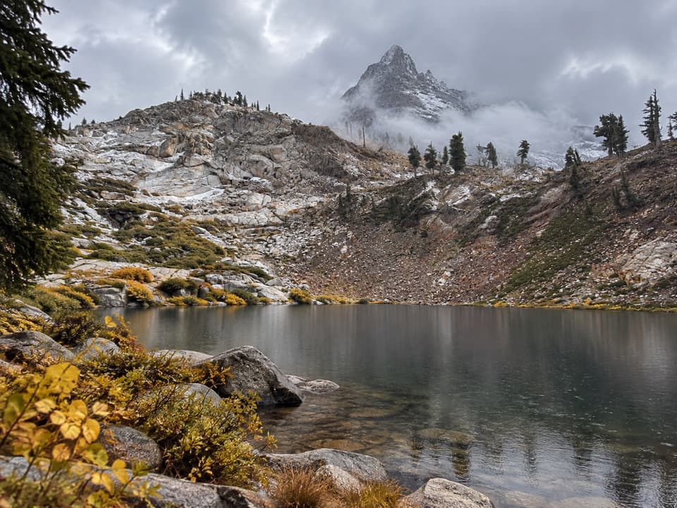 Sight · 1.7 mi awayMonarch LakesTwo alpine lakes below Sawtooth Peak after a hard climb.
 Sight · 2.5 mi awayMosquito LakesA small alpine lake reached by a long Mineral King climb
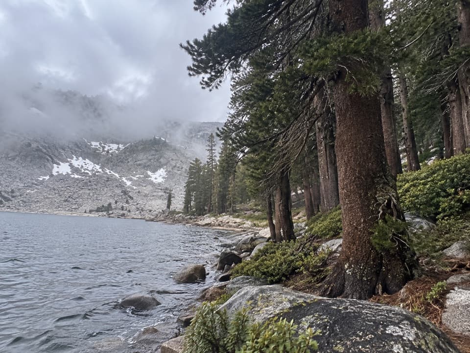 Sight · 2.5 mi awayEagle LakeBlue water at the end of a steep Mineral King hike.
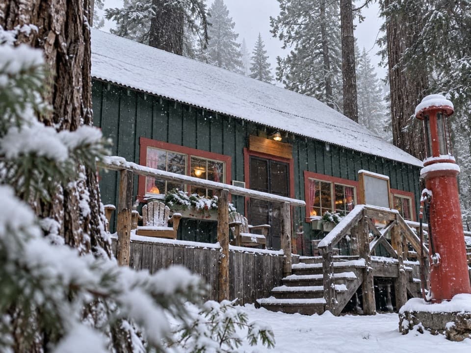 Lodging · 3 mi awaySilver City Mountain ResortA patio slice and a small market after the long climb.
Parkwolf’s Sequoia ranking

The audio tour guide for the drive, plus offline maps, trails, and wildlife heatmaps for when the signal drops.





