Parking
Start at the Sawtooth Trail parking area, about 1 mile past the Mineral King Ranger Station. It is the shared access for Timber Gap and the Monarch and Crystal Lakes trails.

Sequoia National Park, CA
A steep climb to a red-fir pass above Mineral King.
Overview
Map & elevation
Plan your hike

The highest, rockiest slopes around here are a summer buffet for grizzly bears.
Sequoia Tour Guide
Parkwolf is a GPS audio tour guide for Sequoia National Park. As you drive, it chimes in with what’s ahead: hidden gems, upcoming stops, history, geology, and wildlife, right through your car’s speakers.
See the Sequoia audio tourRecorded for this trailhead
Sawtooth Trailhead and Monarch Lakes“You're nearing Sawtooth Trailhead, the starting point for a hard hike to Lower Monarch Lake beneath Sawtooth Peak.”
Plays as you drive up to this trailhead in the Parkwolf Sequoia Tour Guide.
More stories near here in the app
“…The kids and my husband and I all agree that the narration really added to our experience driving through the parks. We learned so much about the history and the flora & fauna.”


Trail guide
Timber Gap Trail is a 4.5-mile out-and-back from Sawtooth parking to a high pass above Monarch Creek. The trail climbs steadily and steeply from Mineral King’s already high valley floor to roughly 9,500 feet. Allow about 3 to 4 hours for the climb, a stop at the gap, and the return. It suits hikers looking for a hard half-day climb and a distinct pass, not a casual valley stroll. The mileage includes walking back to the same parking area.
Start at the Sawtooth Trail parking area, one mile past Mineral King Ranger Station. The route follows an old mining trail beside Monarch Creek. At the junction with routes toward Monarch and Crystal Lakes, stay on Timber Gap Trail and climb to the pass. Turn around at Timber Gap for this shorter outing; the mapped trail continues down the far side toward Cliff Creek, which is a longer route. Views back across Mineral King open up during the climb.
The open slopes around Mineral King are kept largely treeless by avalanches, while Timber Gap is sheltered and covered with red fir. Miners in the 1800s used the trees for fuel and to shore up mine shafts. From the pass, look north toward the Middle Fork Kaweah River and Alta Peak. For a photo, include the trail in the foreground to show how it crosses the mountainside above the valley.
Carry all your water: there is no water at Timber Gap, and the purity of stream water is not guaranteed. The altitude adds effort to the sustained climb, so pace yourself. Pets are not allowed on park trails. Mineral King Road closes for winter and typically opens in late spring; check its seasonal opening before planning the drive. Early-summer mosquitoes can be a nuisance.
Wildlife
 691 sightingsBlack BearMost seen around 6 PMSighting map
 17 sightingsMountain LionMost seen around 6 AMSighting map
 18 sightingsBobcatMost seen around 7 PMSighting map
 24 sightingsCoyoteMost seen around 7 PMSighting map
 15 sightingsGolden EagleMost seen around 11 AMSighting map
 20 sightingsSpotted OwlMost seen around 7 PMSighting map
Sighting maps show where each species has been reported across Sequoia. Wildlife moves, so no sighting is guaranteed.
Keep exploring
 ChallengingBig Five and Little Five Lakes Loop31.2 mi · 1.3 days · At the trailheadTwo lake basins, two high passes, and a real backpacking test
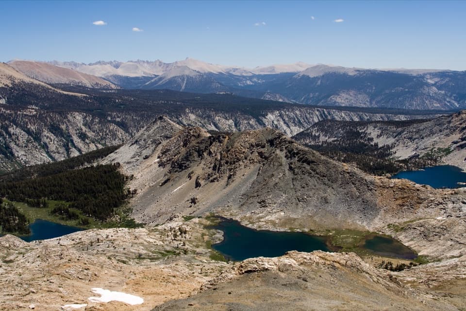 ChallengingBlack Rock Pass Trail23 mi · 17.5 hr · At the trailheadA 23-mile climb to a pass between the Five Lakes basins
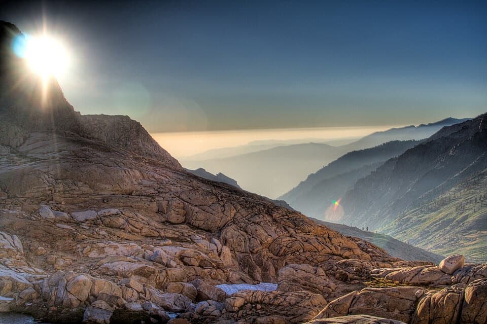 ChallengingSawtooth Pass Trail11 mi · 9 hr · At the trailheadA high, rough climb above Monarch Lakes to Sawtooth Pass.
 ChallengingCrystal Lake Trail9.8 mi · 6.5 hr · At the trailheadA hard climb to a small 1900s dam beneath high Sierra walls.
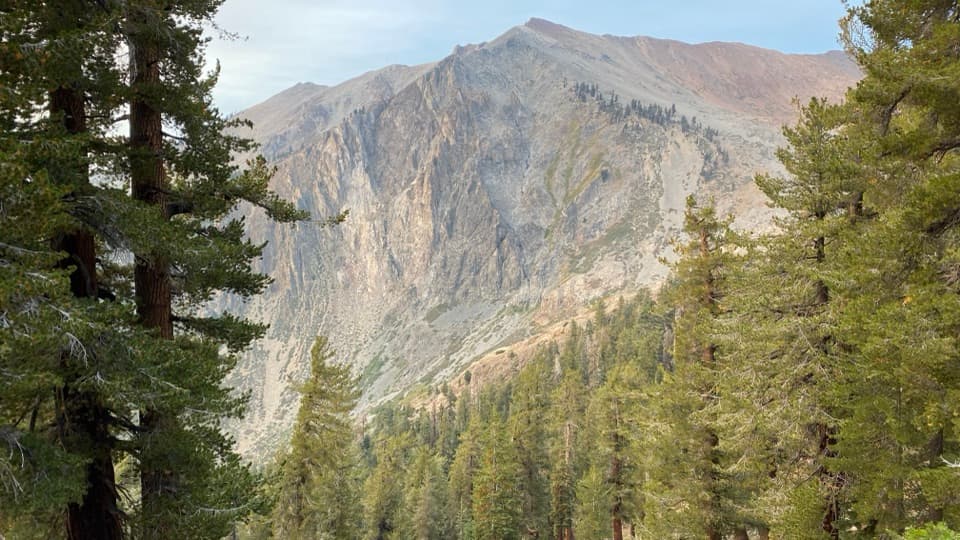 ChallengingMonarch Lakes Trail8.4 mi · 6 hr · 0.2 mi awayA high climb to two lakes beneath Sawtooth Peak
 ChallengingEagle Lake Trail6.8 mi · 4.5 hr · 0.3 mi awayA steep, rocky climb to a high lake above Mineral King.
 ChallengingMosquito Lake Trail7.2 mi · 4.5 hr · 0.3 mi awayA mountain lake above Mineral King, reached by a steady climb.
 ChallengingWhite Chief Trail to White Chief Bowl7.4 mi · 5 hr · 0.4 mi awayColorful marble, old mines and a 10,000-foot Sierra bowl.
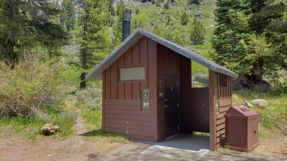 Restroom · 0.2 mi awayEagle-Mosquito Trailhead RestroomA practical restroom before the strenuous Eagle and Mosquito Lakes hikes.
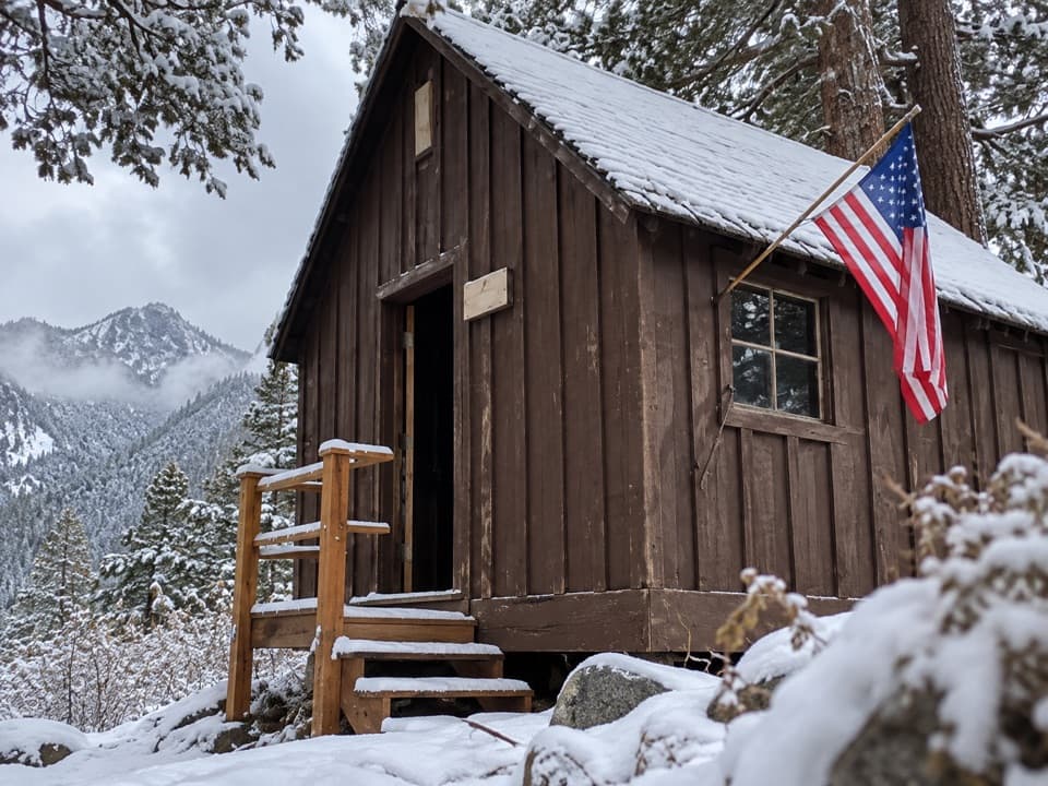 Sight · 0.4 mi awayHoneymoon CabinA cabin shifted eight to ten feet in a slow snow slide.
 Ranger station · 0.8 mi awayMineral King Ranger StationA useful stop for maps, permits, trail advice, and marmot tarps.
 Campground · 1 mi awayCold Springs CampgroundA quiet, tent-only base for Mineral King hikes.
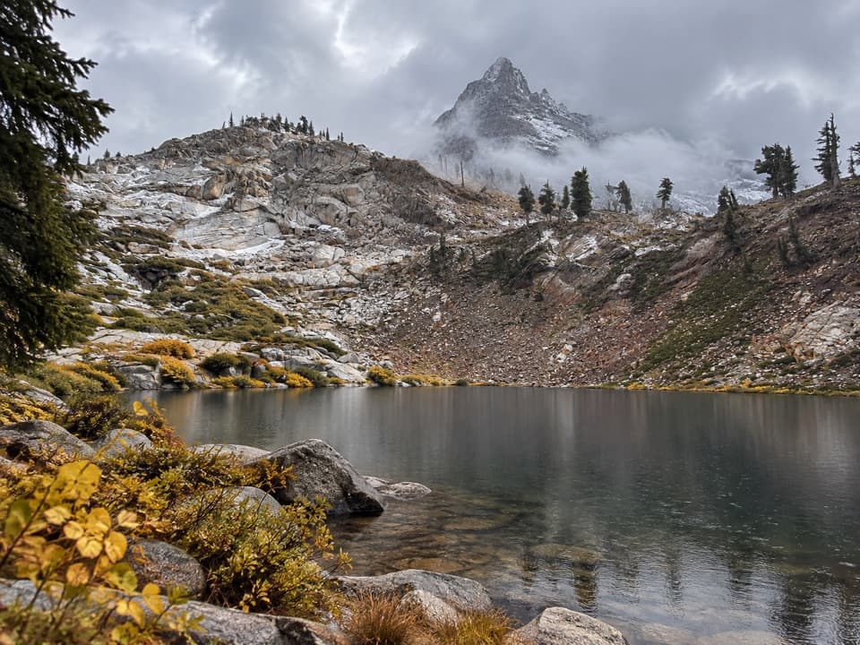 Sight · 1.7 mi awayMonarch LakesTwo alpine lakes below Sawtooth Peak after a hard climb.
 Sight · 2.5 mi awayMosquito LakesA small alpine lake reached by a long Mineral King climb
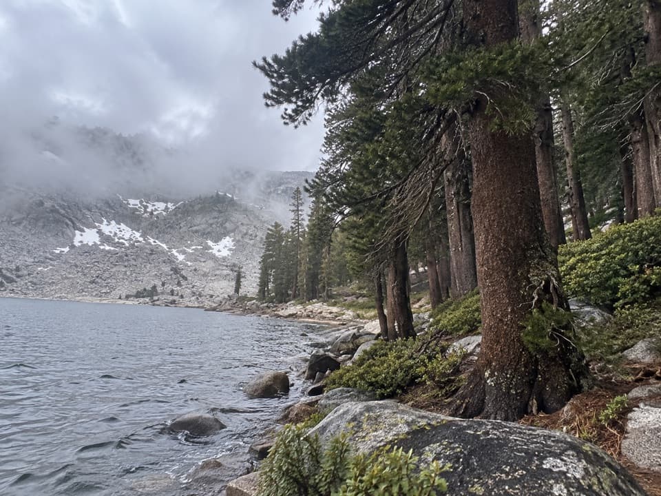 Sight · 2.5 mi awayEagle LakeBlue water at the end of a steep Mineral King hike.
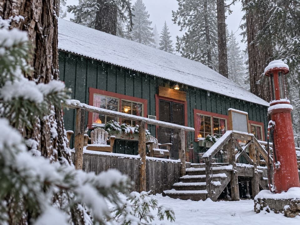 Lodging · 3 mi awaySilver City Mountain ResortA patio slice and a small market after the long climb.
Parkwolf’s Sequoia ranking

The audio tour guide for the drive, plus offline maps, trails, and wildlife heatmaps for when the signal drops.





