
Place · 0.1 mi away
Challenging
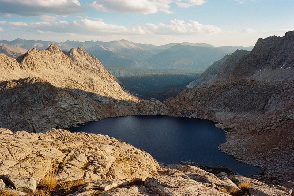
The Upper Big Five Lakes sit on a spur off Mineral King’s famed Big & Little Five Lakes loop—one of the High Sierra’s most rewarding backpacking circuits if you like big passes, granite basins, and solitude. Expect a strenuous, multi-day objective with real elevation and a couple of crux passes. The full loop that includes the Upper Big Five spur runs roughly 28–30 miles total with around 9,500–10,000 feet of gain. Most hikers take 3–5 days; give yourself more time if you want long, lazy lake afternoons.
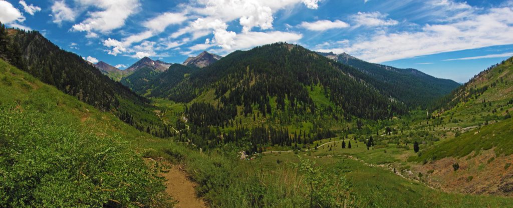
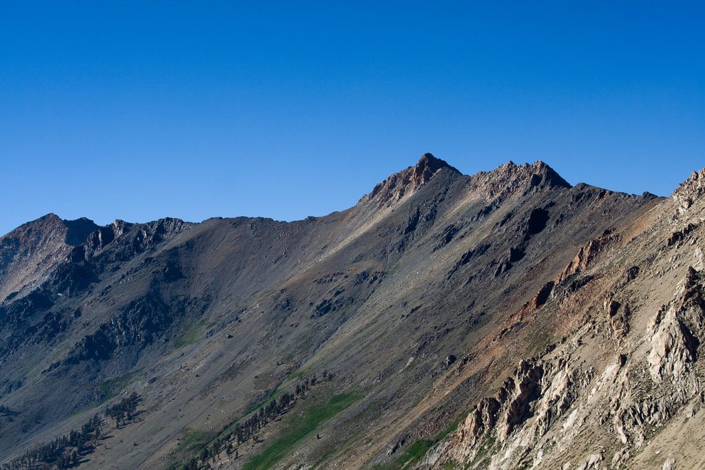
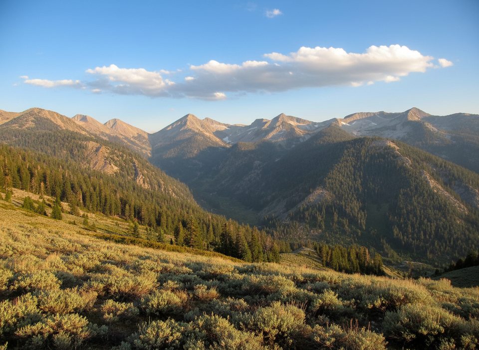
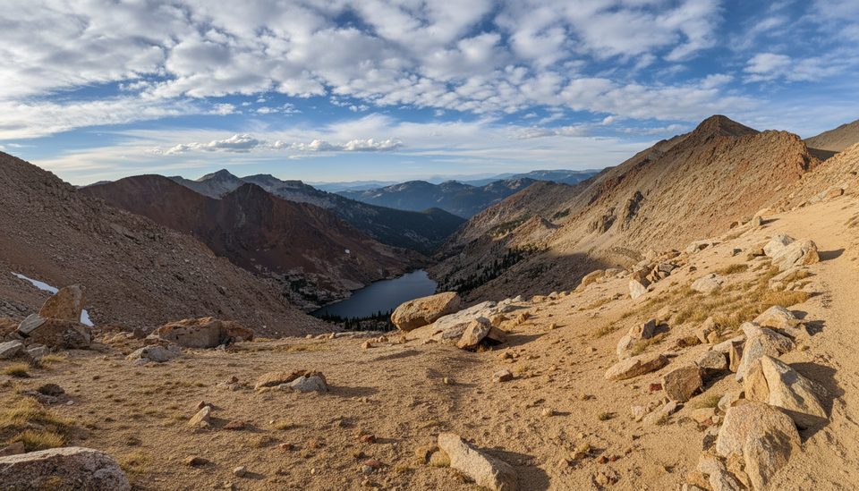
Two words: views and quiet. The upper lakes are the money spots—fewer people than the lower basin and wider panoramas. Black Rock Pass serves up sweeping looks at the Kaweah Range, the Five Lakes basins below, and even distant Sierra giants on a clear day. Between basins, you’ll thread whimsical forests, waterfalls, wildflower meadows, and that classic High Sierra “granite and turquoise” scenery.
Most backpackers hike the loop clockwise: Timber Gap to Cliff Creek/Pinto Lake, up and over Black Rock Pass to Little then Big Five, through Lost Canyon, and out via Sawtooth/Glacier Pass to Monarch Lakes. Black Rock is long and demanding; Sawtooth is shorter but steeper with loose sand/scree and intermittent tread. Many prefer using Glacier Pass to reach Monarch Lakes rather than “scree skiing” Sawtooth’s direct sand chute. Trekking poles are worth their weight here.
Popular camps line Cliff Creek, Pinto Lake area, Little Five, the Upper Big Five spur, Lost Canyon, and Monarch Lakes. Fires are prohibited above 10,000 feet (which is most of this loop) and also not allowed at Pinto Lake; the only exception noted on this route is the lowest Big Five Lake. Plan for stove-only cooking. Bear boxes exist at some established sites, but do not rely on them—carry a bear canister. Camping is no longer allowed at Columbine Lake; aim for Lost Canyon or Monarch Lakes instead.
Mineral King is a summer/fall play. Road access is tough or closed in winter, and summer monsoon storms can build fast—plan to be off high passes early in the day from July to September. Expect mosquitoes in season, potentially intense after wet spells. The area sits high (passes around 11,600–11,750 feet), so acclimatize and watch for altitude symptoms.
Marmots and pika thrive in these rocky basins, and bears do roam—keep a clean camp and secure your food. Down low, you’ll pass streams and small falls (Pinto Lake has a swim hole vibe); up high, it’s glacially carved granite with sweeping skylines. Lost Canyon is a standout meadow walk with a ribbon of water and frequent marmot sightings.
Wilderness permits are required (reserve up to six months ahead); limited walk-up options may exist. Mineral King Road has ongoing construction through fall 2027 that can mean delays or closures—build buffer time into your travel day. At the trailhead, marmots have a reputation for chewing hoses/wiring earlier in the season; many hikers wrap their cars.
Late June through October, conditions permitting. For fewer bugs and mellower creek crossings, aim for late summer into early fall. Hit the big passes shortly after sunrise for cooler temps, calmer winds, and the best light on the lakes. Weekdays see fewer people than weekends, and the upper basin stays quieter regardless.
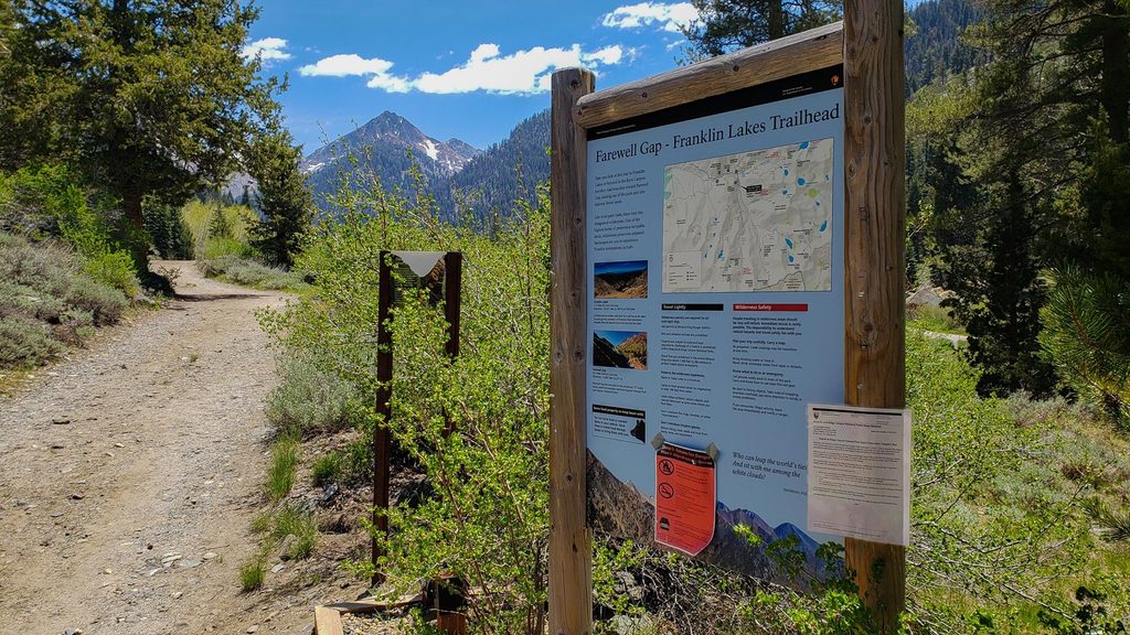
Park at the Timber Gap/Sawtooth Pass trailhead in Mineral King. Expect construction-related delays on the access road. In early season, consider wrapping your car to deter marmots in the trailhead lot.
High altitude, steep loose sections near Sawtooth Pass, afternoon thunderstorms July–September, strong mosquitoes in season, variable stream crossings after storms, and marmots that may chew vehicle components at trailheads. Fires are prohibited above 10,000 ft (and at Pinto Lake); no camping at Columbine Lake.
Place · 0.1 mi away
Place · 0.3 mi away
Place · 0.8 mi away
Place · 1 mi away
Challenging · 0 mi away
Challenging · 0 mi away
Challenging · 0.2 mi away
Challenging · 0.2 mi away

Parkwolf Tour Guide
