
Place · 0 mi away
Challenging
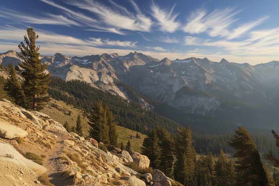
The Alta Trail climbs straight out of Giant Forest’s cathedral of giant sequoias into higher country with expanding Sierra views. As a stand‑alone outing, it’s about 13.4 miles total (out-and-back) to the junction near Mehrten Meadow with roughly 3,200 feet of gain—strenuous, steady, and worth the work if you like long climbs and big scenery.
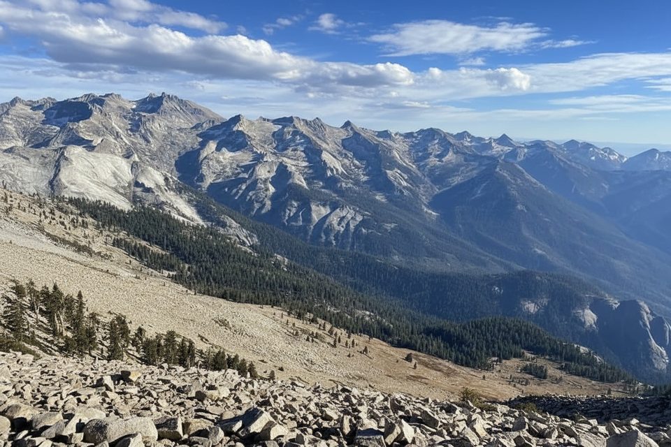
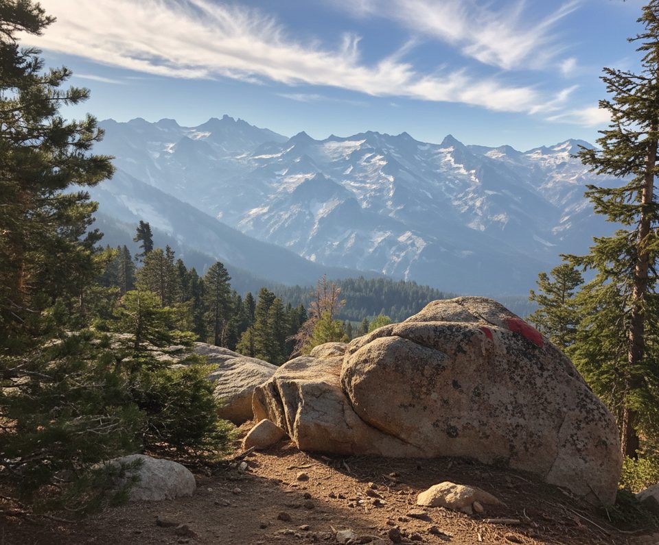
Starting at the Giant Forest Museum, you’ll ascend from massive sequoias into mixed conifer forest and then more open country as views toward the Great Western Divide and the Kaweah peaks open up. Hikers looking for an even bigger day can continue beyond the Alta Trail corridor all the way to Alta Peak; that version from Giant Forest runs roughly 19.5 miles round trip with around 5,400+ feet of gain. Many hikers instead tackle Alta Peak from Wolverton via the Lakes/Panther Gap/Alta combination—a popular 13.5‑mile round trip with about 4,000 feet of gain.
Early miles feature towering sequoias; higher up you’ll find summer wildflowers and, as you near the alpine zone on the peak extension, rugged granite and hardy foxtail pines. From the high points, expect sweeping looks at the Great Western Divide and deep Kaweah drainages—classic granitic Sierra country sculpted by uplift and glaciation.
Plan around 7+ hours for the 13.4‑mile Alta Trail outing, and 8–11 hours if you’re pushing on to Alta Peak depending on fitness and conditions. It’s a sustained grade with a notably steeper, more exposed finish if you go for the summit. Start early for cooler temps, calmer winds, and easier parking. Bring plenty of water; seasonal streams may exist early season, but treat before drinking. Trekking poles help on the long descent. If you continue to the summit, the junction near Alta Meadow is a smart spot to drop heavier gear before the final climb.
This corridor is theoretically year‑round, but winter/shoulder seasons can bring snow and ice. Microspikes or snowshoes may be necessary; park roads sometimes require chains. A signed winter route exists for the Alta area. In summer, Giant Forest is very busy—use the shuttle when it’s running and aim for first light trail starts to beat crowds and heat.
Day hiking requires no permit. Overnight trips do require a wilderness permit; during quota season it’s reservation-based, and outside quota season it’s typically self‑issue. Bear-resistant food storage is required in most backcountry areas and rentals are available at visitor centers. The Alta Trail allows stock, but overnight stock camping is not permitted along the Alta corridor.
If you want a classic Sequoia progression from giant trees to big Sierra vistas without the Wolverton crowds, the Alta Trail is an excellent, demanding choice. For an even bigger payoff, extend to Alta Peak; for a lower‑effort day, turning around at the meadows still nets a rewarding hike.
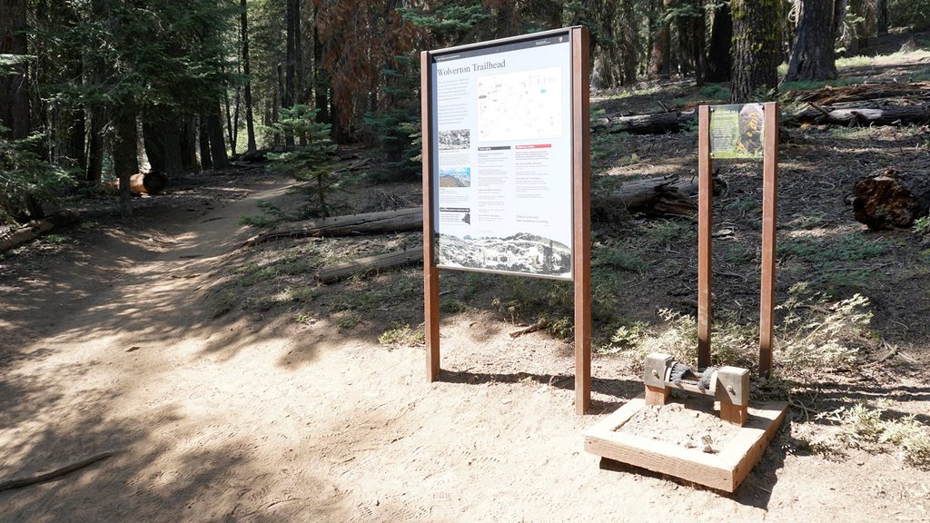
Park at the Giant Forest Museum lot (fills by mid‑morning); arrive early or use the seasonal shuttle. Wolverton has a larger lot if you choose the alternate route.
Long, sustained climb with limited water; snow and ice linger in shoulder seasons and chains may be required for roads. If continuing to Alta Peak, expect steep, exposed final miles and altitude effects. Store food properly—bears frequent parking areas and marmots are active in the backcountry. Wilderness permits and bear canisters are required for overnights; stock allowed but no overnight stock camping along the Alta corridor.
Place · 0 mi away
Place · 0 mi away
Place · 0.6 mi away
Place · 0.6 mi away
Challenging · 0 mi away
Moderate · 0 mi away
Challenging · 0 mi away
Challenging · 0 mi away

Parkwolf Tour Guide
