Parking
Start at Lakes Trailhead in Wolverton Picnic Area, off Wolverton Road. The area has auto parking and flush toilets; picnic tables make a useful meal stop before or after the hike.
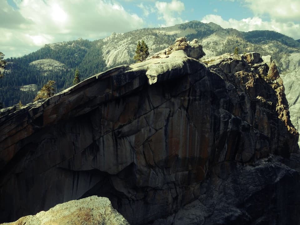
Sequoia National Park, CA
A long climb to the ridge above Tokopah Falls.
Overview
Watchtower Trail is the high granite ridge branch of the Lakes Trail, starting at Wolverton and heading to the Watchtower viewpoint. The mapped out-and-back is about 7.7 miles round trip, with roughly 1,900 feet of climbing; give it five to seven hours. It suits hikers who want the panorama more than a lake destination: the longer Lakes Trail continues beyond this branch toward Heather, Emerald and Pear lakes. Published estimates range from 7.4 to 8.6 miles; this route follows the Watchtower branch to its high ridge viewpoint and turns back there.
 Parkwolf’s verdictIs the ridge worth the climb?
Map & elevation
Plan your hike

The highest, rockiest slopes around here are a summer buffet for grizzly bears.
Sequoia Tour Guide
Parkwolf is a GPS audio tour guide for Sequoia National Park. As you drive, it chimes in with what’s ahead: hidden gems, upcoming stops, history, geology, and wildlife, right through your car’s speakers.
See the Sequoia audio tourRecorded for this trailhead
Wolverton Meadow and Lakes Trail“Wolverton is coming up, with picnic tables beside a wetland meadow. It's a good lunch stop without committing to the big hikes that start here.”
Plays as you drive up to this trailhead in the Parkwolf Sequoia Tour Guide.
More stories near here in the app
“…The kids and my husband and I all agree that the narration really added to our experience driving through the parks. We learned so much about the history and the flora & fauna.”


Trail guide
Start at Lakes Trailhead in Wolverton Picnic Area. The climb begins under alpine forest, mostly on dirt, with a steady rise and some switchbacks. Meadows break up the trees along the way. Higher up, the route gets more sun and weather; near the Watchtower, the dirt tread gives way to granite. Follow the Watchtower branch at the split and retrace it to Wolverton rather than continuing on the longer Lakes Trail.
From the ridge, look across to Lodgepole, the Marble Fork of the Kaweah River and Tokopah Falls. The Watchtower is a prominent granite outcrop above Tokopah Valley, and it gives the hike a clear destination. For a photo, include the rock in the foreground with the valley beyond; it shows the scale of the ridge better than a tight shot of stone.
The upper Watchtower section is open to sun and weather. The National Park Service warns that this ridge is extremely treacherous when any snow or ice is present; use the Hump Trail alternative in those conditions. Check the forecast before setting out and carry what you need for an exposed high-elevation walk.
Wolverton Picnic Area has parking, picnic tables and flush toilets, so it works well for a meal before or after the climb. Pets are prohibited on park trails; service dogs are permitted.
Wildlife
 691 sightingsBlack BearMost seen around 6 PMSighting map
 17 sightingsMountain LionMost seen around 6 AMSighting map
 18 sightingsBobcatMost seen around 7 PMSighting map
 24 sightingsCoyoteMost seen around 7 PMSighting map
 15 sightingsGolden EagleMost seen around 11 AMSighting map
 20 sightingsSpotted OwlMost seen around 7 PMSighting map
Sighting maps show where each species has been reported across Sequoia. Wildlife moves, so no sighting is guaranteed.
Keep exploring
 ChallengingLakes Trail to Pear Lake12.8 mi · 7.5 hr · At the trailheadFrom forest switchbacks to the glacial bowl around Pear Lake.
 ChallengingAlta Peak Trail13.6 mi · 9 hr · At the trailheadA full-day summit climb with a hands-on finish above the tree line.
 ModeratePanther Gap Trail5.5 mi · 3 hr · At the trailheadA steady climb to Great Western Divide views at a high pass
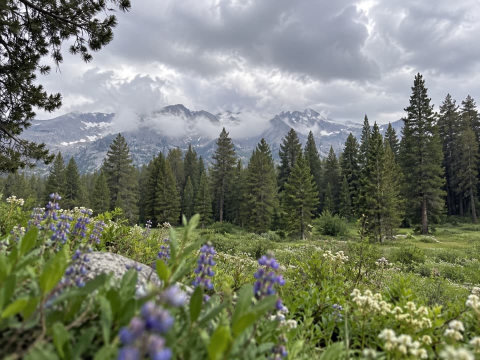 ChallengingAlta Meadow Trail13.1 mi · 7.5 hr · At the trailheadA hard climb ends in a meadow beneath the Great Western Divide.
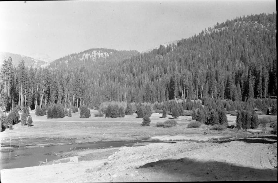 EasyWolverton Meadow Loop2.8 mi · 1.5 hr · At the trailheadAn easy wetland loop for streams, seasonal flowers and wildlife.
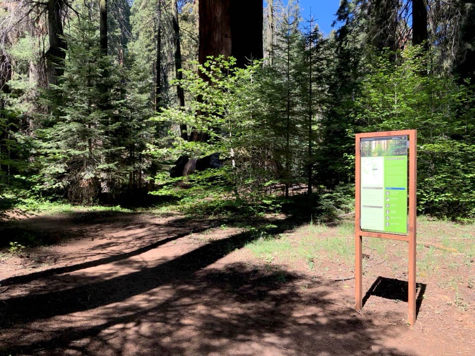 ChallengingAlta Winter Trail6.2 mi · 7 hr · 0.1 mi awayA winter ridge drops into Giant Forest's giant sequoias.
 ModerateLong Meadow Loop2.8 mi · 1.5 hr · 0.1 mi awayA quiet loop around a wet meadow where wildlife is the point.
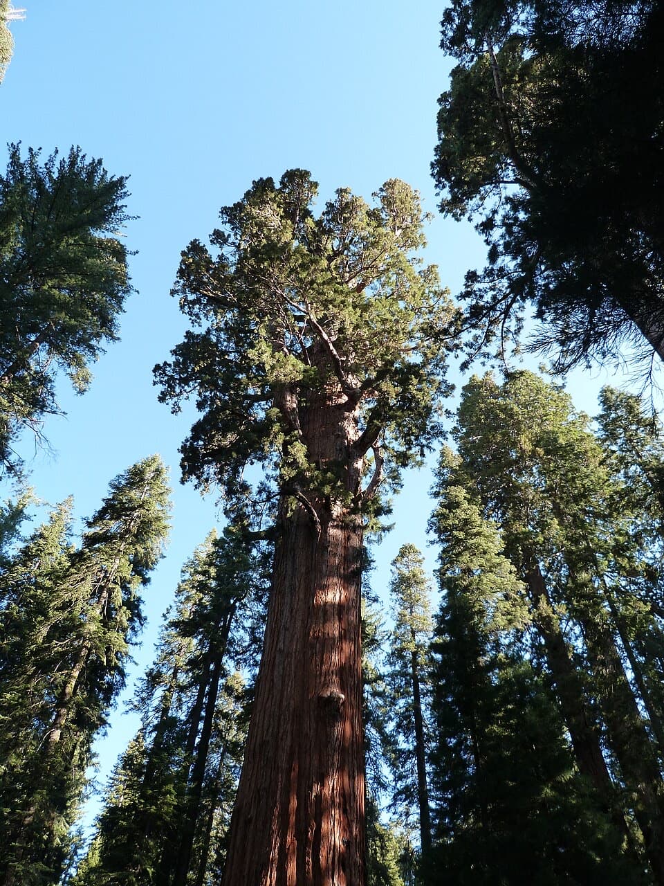 ModerateLodgepole–Sherman Tree Trail2.8 mi · 3.5 hr · 0.7 mi awayA 2.8-mile walk through sequoias to General Sherman Tree.
 Picnic area · 0.1 mi awayWolverton Picnic and Snowplay AreaA meadow picnic spot with winter snowplay when conditions allow.
 Visitor center · 0.5 mi awayLodgepole Visitor CenterGet oriented before the big trees, with exhibits that travel by sound.
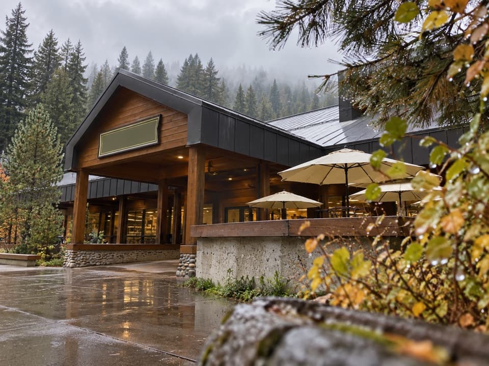 Store · 0.6 mi awayLodgepole Market CenterA high-country supply stop with groceries, a grill, showers, and laundry.
 Picnic area · 0.6 mi awayLodgepole Picnic AreaA shaded riverside picnic with Lodgepole's village services close by.
 Campground · 0.7 mi awayLodgepole CampgroundCamp beside the Marble Fork, with a shuttle to Giant Forest.
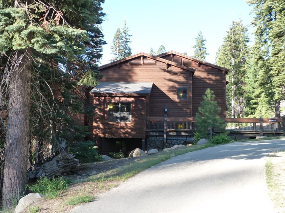 Lodging · 1.4 mi awayWuksachi LodgeA wooded, in-park base with meals and starry skies.
 Sight · 1.4 mi awayGeneral Sherman TreeSee the world's largest tree by trunk volume up close
 Sight · 1.9 mi awayPresident TreeOne of the world's largest sequoias, reached on Congress Trail.
Parkwolf’s Sequoia ranking
The audio tour guide for the drive, plus offline maps, trails, and wildlife heatmaps for when the signal drops.



