Pros & cons
PROS
- Often quiet even in peak season; a true hidden-gem feel
- Historic touches en route (Chihuahua Mine remnants and century-old dam)
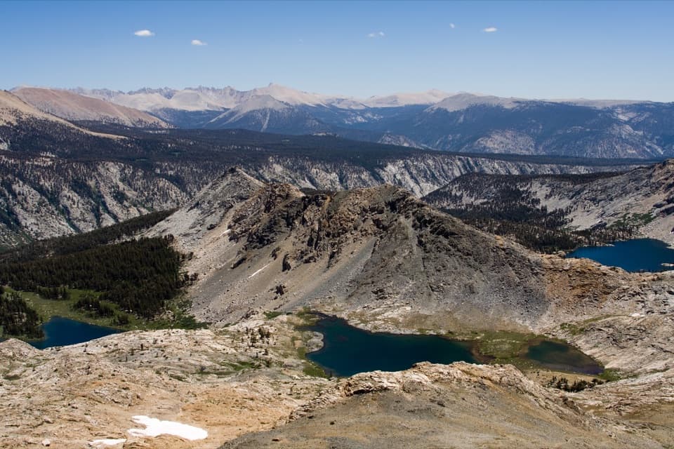
- Panoramic Mineral King views above treeline
CONS
- Loose scree and faint tread near the top demand careful footing
- Marmots target car hoses; vehicle protection takes extra time
- Long, narrow access road with unreliable cell service
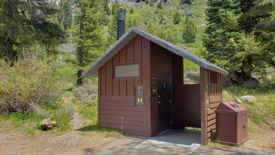
Park at the Sawtooth/Monarch Lakes trailhead (Sawtooth parking area) at the end of Mineral King Road. Arrive early; no restrooms at the trailhead and protect your vehicle from marmots.
Steep, high-elevation climb with loose scree/talus and occasional faint tread; unreliable cell service—carry offline maps. Mineral King Road is narrow and slow. Marmots chew car hoses; bears are present.
Overview
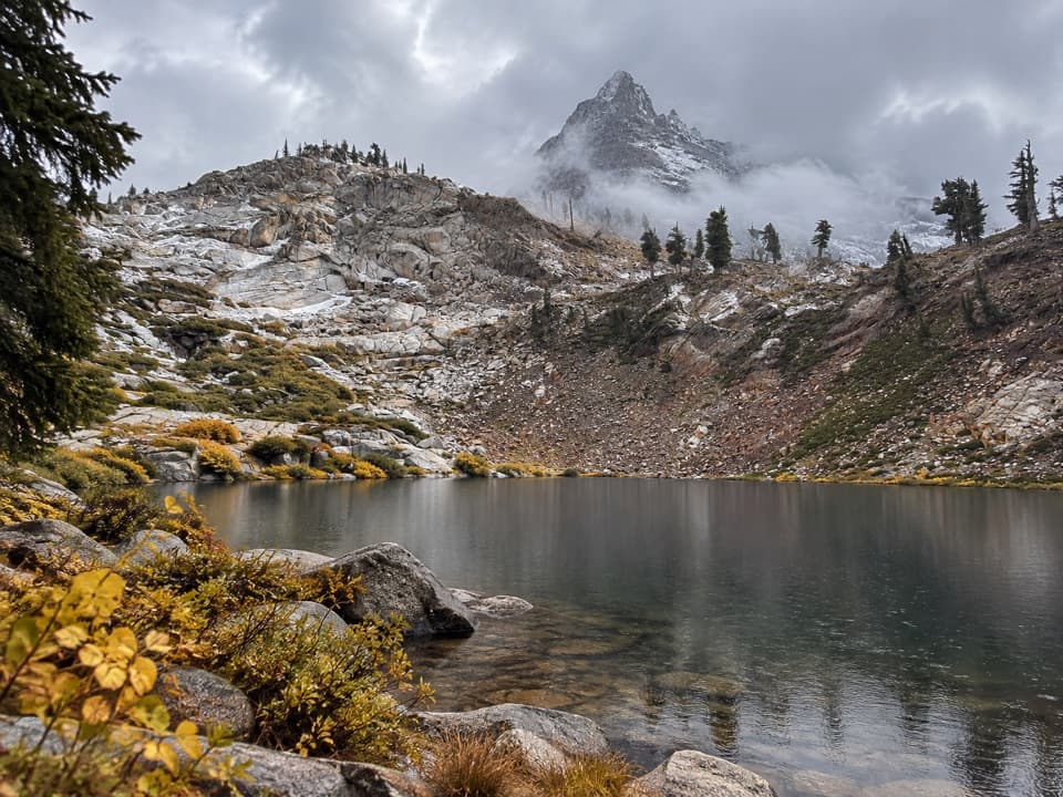
This is a demanding Mineral King classic to a pristine alpine bowl. The Crystal Lake Trail is a 9.5-mile total out-and-back with about 3,330 feet of elevation gain, typically taking around 6 hours and 14 minutes. Expect sustained climbing, big views, and a final gritty push that keeps crowds away. If you want something quieter than the busy Monarch Lakes, this is the better bet.
Route Experience
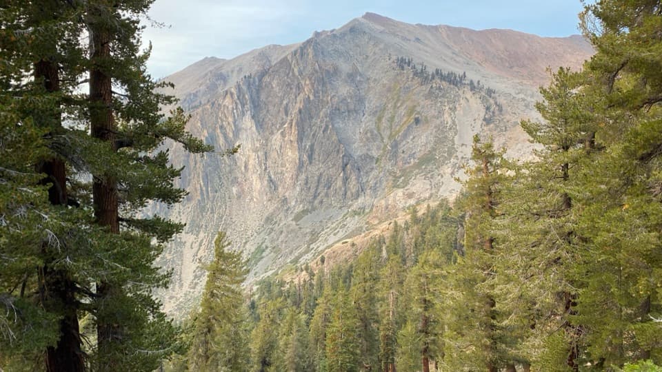
Start from the Sawtooth parking area, climbing steeply on the Monarch Creek trail before slipping into cool conifer forest and meadows. Views of Empire Mountain open up as you gain elevation. At the Chihuahua Bowl, take the Crystal Lake spur; you’ll pass remnants of the historic Chihuahua Mine en route. The trail then steepens toward a high pass and climbs above treeline with sweeping looks over Mineral King Valley, White Chief Peak, and Farewell Gap.
The final stretch is on loose scree and talus with sections that can be faint. Download an offline map before you go—cell service is unreliable—and bring trekking poles for stability. At the lake, you’ll find a small historic dam (built in 1903) and clear, icy water that’s perfect for a brisk dip on a hot day. There’s no maintained trail beyond the lake.
Difficulty and Conditions
This hike is strenuous due to sustained elevation gain and altitude, topping out near 11,000 feet. The tread becomes rocky and loose near the top, and route-finding can be tricky in places. Reviewers consistently mention the variety of terrain and frequent shade early if you start at dawn.
Scenery, Flora, and Wildlife
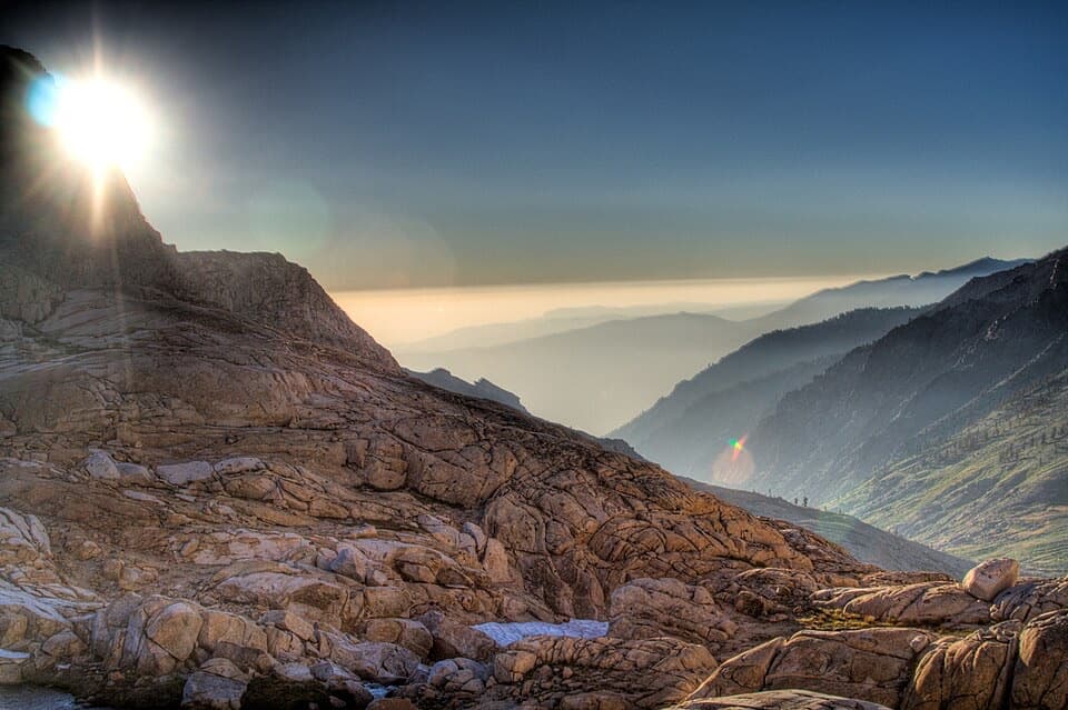
Above treeline, the views over Mineral King are the reward. In season, wildflowers can put on a show—look for corn lilies, mountain lupines, western columbines, and Indian paintbrush between late June and early August. Wildlife sightings may include bears and plenty of marmots near the trailhead area.
Best Time to Hike
Snow can linger early; the most reliable window is July through October. Start early for cooler temps, softer light, and shade on the lower forested section. Mosquitoes can be lively near the lake at dawn and dusk during peak summer.
Access and Logistics
Mineral King Road is narrow, winding, and slow—plan extra time, and expect limited services. There are no restrooms directly at the Sawtooth trailhead. Marmots in this area are notorious for chewing car hoses; many hikers wrap their vehicles—come prepared to protect yours.
Permits, Pets, and Food Storage
No wilderness permit is needed for a day hike. Overnight trips require a wilderness permit during quota season; bear canisters are standard for proper food storage. Pets are not allowed on this trail. If you plan to fish, a valid fishing permit is required.
Should You Hike It?
If you’re up for a tough climb with big payoffs and fewer people, yes. If you want something easier and more social, consider nearby Monarch Lakes instead.
Elevation
9.5 mi · 6.2 hrWhere it starts
36.5958, -118.7352Wildlife on this trail
Near Crystal Lake Trail
All places →All trails →
0 mi awayAlta Peak TrailBig Sierra views, ancient foxtails, and a spicy summit finishChallenging · 13.5 mi · 8 hr
0 mi awayWatchtower TrailAiry granite traverse to huge views on the Lakes TrailModerate · 8.3 mi · 4.6 hr
0 mi awayAlta TrailFrom sequoias to high-country views on a sustained, rewarding climbChallenging · 13.4 mi · 7.2 hr
0 mi awayAlta Meadow TrailQuiet, big-view meadows without the summit crowds—worth the long walkChallenging · 12 mi · 0 min
0 mi awayWolverton TrailheadBig parking and big hikes: lakes, peaks, and winter snowplayTrailhead · Parking
0 mi awayWolverton Snowplay AreaDesignated sledding hill with heated restrooms and forest viewsRestroom · Parking
0.6 mi awayLodgepole Picnic AreaRiverside picnic spot steps from Lodgepole Village conveniencesPicnic Table · Restroom
0.6 mi awayLodgepole Visitor CenterRenovated hub for permits, immersive exhibits, and ranger intelVisitor Center · Exhibit