Parking
Use the Wolverton parking area and start at Lakes Trailhead on its north side. The route follows the Lakes Trail toward Panther Gap.

Sequoia National Park, CA
A full-day summit climb with a hands-on finish above the tree line.
Overview
Alta Peak is a 13.6-mile out-and-back from the Lakes Trailhead at Wolverton to an 11,200-foot summit. It climbs nearly 4,000 feet, so this is a strenuous day for hikers comfortable with long climbs and altitude. The payoff is a changing route from forest to meadows to bare granite, then a huge view across the High Sierra. Allow about nine hours. Published totals range from 12.8 to 14.1 miles; the connected route mapped here measures about 13.6 miles round trip.
 Parkwolf’s verdictIs this a full-day hike for you?
Map & elevation
Plan your hike

The highest, rockiest slopes around here are a summer buffet for grizzly bears.
Sequoia Tour Guide
Parkwolf is a GPS audio tour guide for Sequoia National Park. As you drive, it chimes in with what’s ahead: hidden gems, upcoming stops, history, geology, and wildlife, right through your car’s speakers.
See the Sequoia audio tourRecorded for this trailhead
Wolverton Meadow and Lakes Trail“Wolverton is coming up, with picnic tables beside a wetland meadow. It's a good lunch stop without committing to the big hikes that start here.”
Plays as you drive up to this trailhead in the Parkwolf Sequoia Tour Guide.
More stories near here in the app
“…The kids and my husband and I all agree that the narration really added to our experience driving through the parks. We learned so much about the history and the flora & fauna.”


Trail guide
Start on the Lakes Trail from the north side of Wolverton's parking area. The first miles climb through conifers on a steady, mostly moderate grade, with a small stream crossing. At about 1.8 miles, pass the branch for Heather, Emerald and Pear lakes and keep toward Panther Gap. Red fir forest and small meadows continue to the gap, roughly 2.8 to 3 miles from the start.
Panther Gap sits around 8,450 feet and opens a southeast view toward the Great Western Divide. Turn left, east, onto Alta Trail. The route climbs across steep slopes, with wider views toward Castle Rocks and the divide. It crosses several avalanche chutes, passes the High Sierra Trail junction, and looks down toward Mehrten Meadow.
At the Alta Peak junction, take the left branch for the summit; the right branch leads toward Alta Meadow. The summit route climbs steeply through an avalanche chute and past Tharp's Rock. Near the rock, the trees thin and the view opens over Alta Meadow, granite ridges and the Great Western Divide. A small gully crossing sits around 5.8 miles from Wolverton.
The last three-quarters of a mile is the hardest part: steep scree, a faint line marked by small cairns, then a direct rocky finish without switchbacks. The high summit block requires a hands-on scramble. If that is beyond your comfort level, an easier granite viewpoint sits just to the left below the high point.
The top gives a broad panorama of the Tablelands and Sierra Crest to the northeast, the Kaweah Peaks and Great Western Divide to the east, and the Middle Fork Kaweah valley to the south and west. For the lake-basin view, step to the lower granite outcrops below the peak: Pear, Emerald and Aster lakes show from there, while the summit itself blocks them. A twisted foxtail pine in the foreground gives the bare granite some scale.
The wind-shaped foxtail pines around Tharp's Rock are relatives of bristlecone pines and can live for as long as 2,000 years. Watch for low alpine flowers in the rocky summit ground, including western anemone. The High Sierra Trail junction also marks the start of a much longer route: in 1930, a trail crew spent nearly the whole summer blasting a one-mile section across steep bluffs south of Alta Meadow.
The upper route can be hard to follow when snow covers the scree, and snow may linger into late August. Check the park's trail conditions before setting out, especially early in the season. Water along the route is seasonal; don't count on springs or creeks being available. Wolverton has a picnic area, but no food stop is listed along the hike, so bring what you need for the day. Pets are prohibited on park trails.
Wildlife
 691 sightingsBlack BearMost seen around 6 PMSighting map
 17 sightingsMountain LionMost seen around 6 AMSighting map
 18 sightingsBobcatMost seen around 7 PMSighting map
 24 sightingsCoyoteMost seen around 7 PMSighting map
 15 sightingsGolden EagleMost seen around 11 AMSighting map
 20 sightingsSpotted OwlMost seen around 7 PMSighting map
Sighting maps show where each species has been reported across Sequoia. Wildlife moves, so no sighting is guaranteed.
Keep exploring
 ChallengingLakes Trail to Pear Lake12.8 mi · 7.5 hr · At the trailheadFrom forest switchbacks to the glacial bowl around Pear Lake.
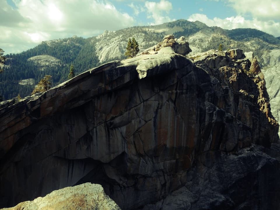 ChallengingWatchtower Trail7.7 mi · 6 hr · At the trailheadA long climb to the ridge above Tokopah Falls.
 ModeratePanther Gap Trail5.5 mi · 3 hr · At the trailheadA steady climb to Great Western Divide views at a high pass
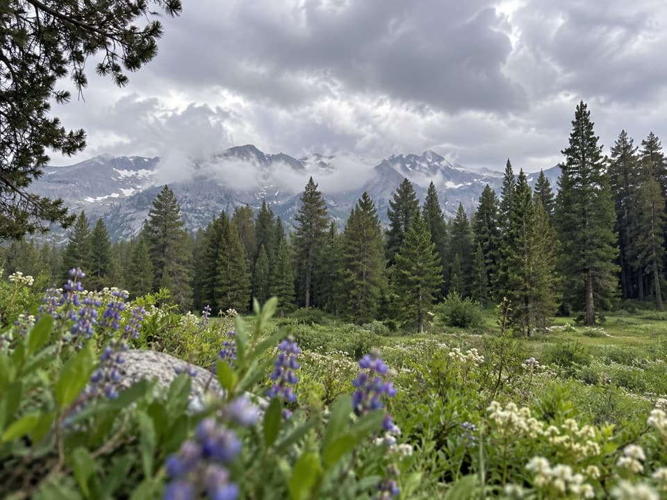 ChallengingAlta Meadow Trail13.1 mi · 7.5 hr · At the trailheadA hard climb ends in a meadow beneath the Great Western Divide.
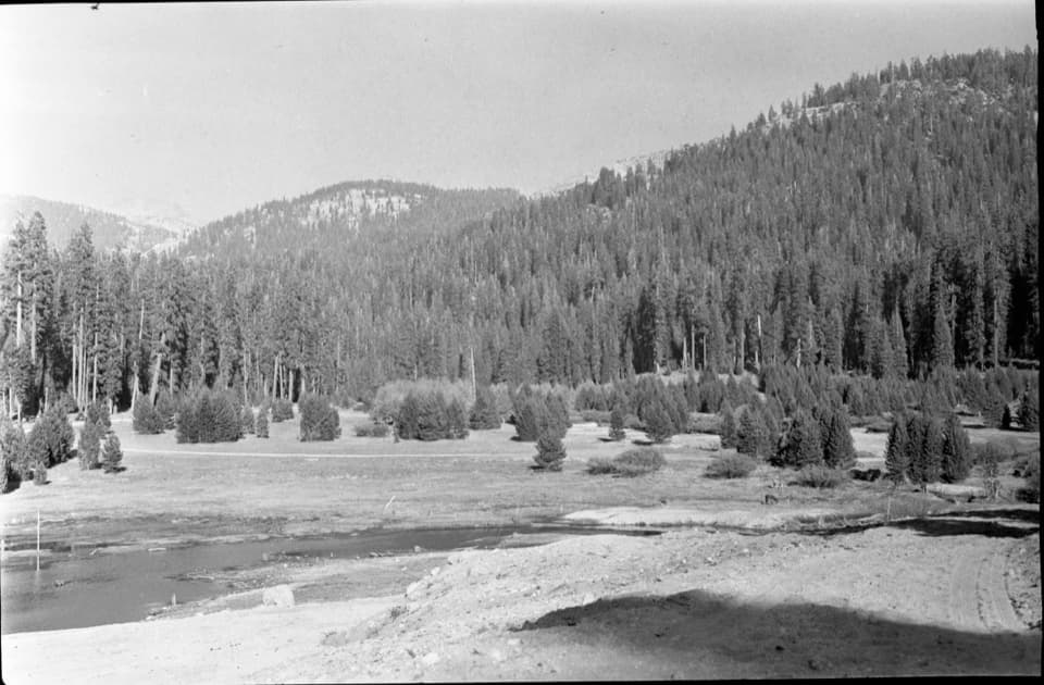 EasyWolverton Meadow Loop2.8 mi · 1.5 hr · At the trailheadAn easy wetland loop for streams, seasonal flowers and wildlife.
 ChallengingAlta Winter Trail6.2 mi · 7 hr · 0.1 mi awayA winter ridge drops into Giant Forest's giant sequoias.
 ModerateLong Meadow Loop2.8 mi · 1.5 hr · 0.1 mi awayA quiet loop around a wet meadow where wildlife is the point.
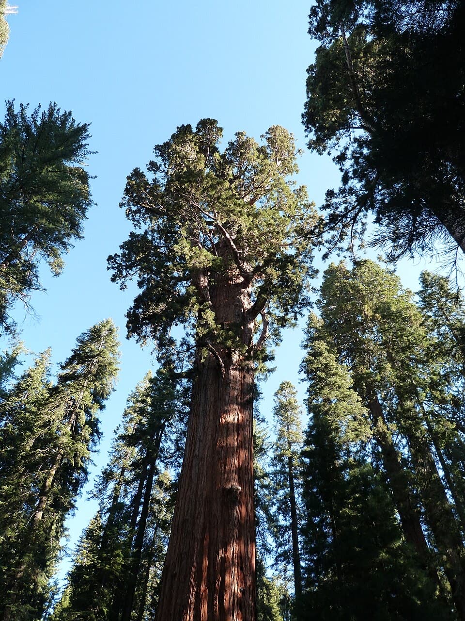 ModerateLodgepole–Sherman Tree Trail2.8 mi · 3.5 hr · 0.7 mi awayA 2.8-mile walk through sequoias to General Sherman Tree.
 Picnic area · 0.1 mi awayWolverton Picnic and Snowplay AreaA meadow picnic spot with winter snowplay when conditions allow.
 Visitor center · 0.5 mi awayLodgepole Visitor CenterGet oriented before the big trees, with exhibits that travel by sound.
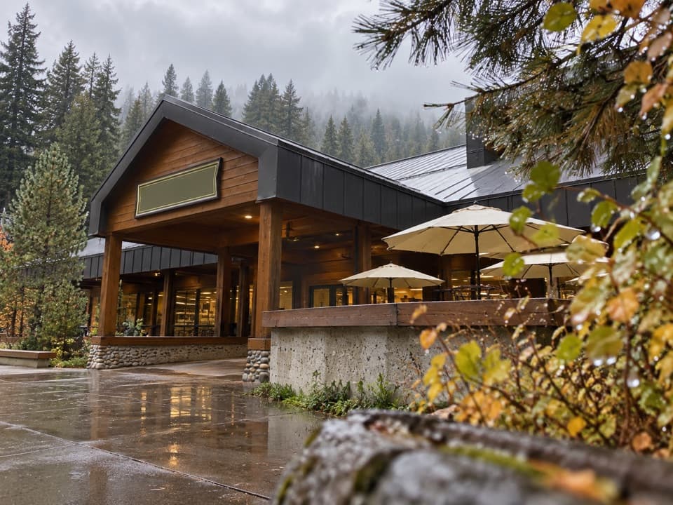 Store · 0.6 mi awayLodgepole Market CenterA high-country supply stop with groceries, a grill, showers, and laundry.
 Picnic area · 0.6 mi awayLodgepole Picnic AreaA shaded riverside picnic with Lodgepole's village services close by.
 Campground · 0.7 mi awayLodgepole CampgroundCamp beside the Marble Fork, with a shuttle to Giant Forest.
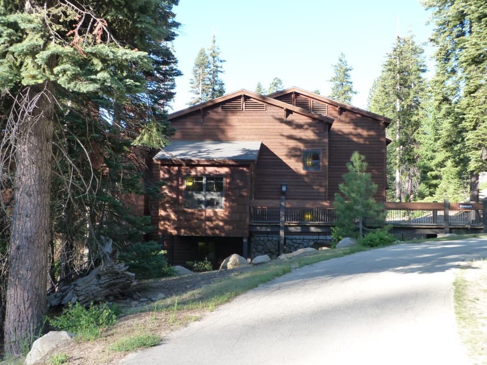 Lodging · 1.4 mi awayWuksachi LodgeA wooded, in-park base with meals and starry skies.
 Sight · 1.4 mi awayGeneral Sherman TreeSee the world's largest tree by trunk volume up close
 Sight · 1.9 mi awayPresident TreeOne of the world's largest sequoias, reached on Congress Trail.
Parkwolf’s Sequoia ranking
The audio tour guide for the drive, plus offline maps, trails, and wildlife heatmaps for when the signal drops.



