
Place · 0.1 mi away
Challenging
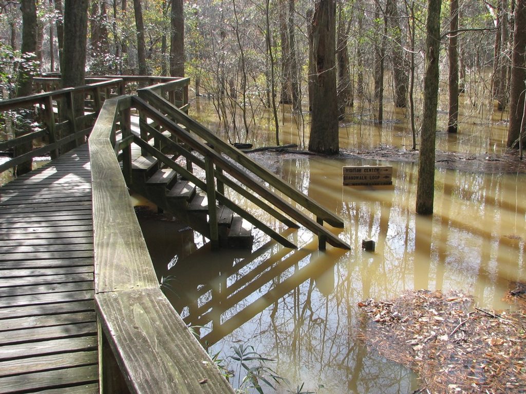
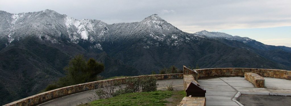
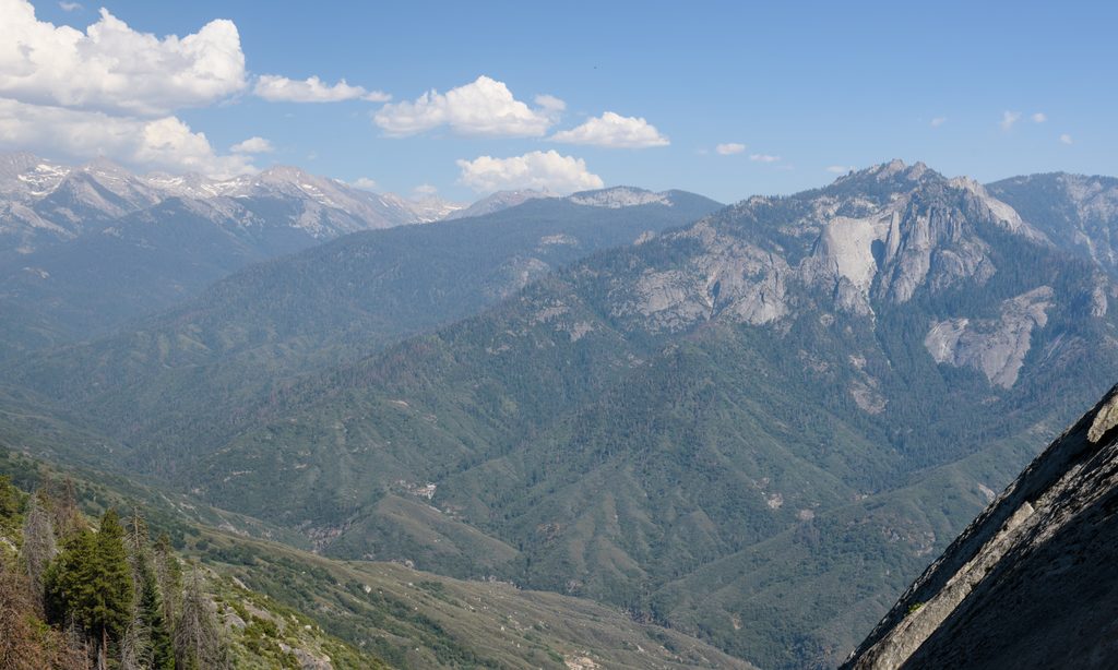
If you’re craving a raw, less-traveled Sequoia canyon, the Middle Fork Kaweah delivers. Expect big views of Moro Rock, Castle Rocks, and the Great Western Divide as you work up a warm, chaparral-lined canyon with intermittent shade. The full outing is typically listed around 22.6 miles total (out-and-back) with about 4,400 feet of gain—plan on an 11-hour push if you’re day‑tripping that distance. Many hikers wisely sample it as a shorter day hike to Panther Creek Falls (~6.1 miles round trip when the access road is open) or stretch it into a 1–3 night backpack.
Right out of the gate you’ll cross Moro Creek (usually rock-hoppable), then wind toward Panther Creek at roughly 3–3.5 miles. It’s a popular turnaround thanks to a pretty little cascade and a shaded grotto feel. Beyond Panther, the trail grows rougher and more overgrown as you reach Mehrten Creek (~6 miles) with camps tucked under trees and a 15‑foot falls dropping into a cool pool. Buck Creek (~9 miles) has a few limited flats. Press on to Redwood Meadow (~13 miles) to wander among one of the park’s most remote giant sequoia groves, or continue to Bearpaw Meadow (~14 miles) to intersect the High Sierra Trail. Spring brings standout wildflowers—poppies, phacelia, mariposa lilies—peppering the slopes.
The first legal backcountry camping begins at Panther Creek (wilderness boundary). Common itineraries: Panther or Mehrten for a single night; Buck Creek for night two; Redwood Meadow as a quiet, big‑tree finale. Overnight trips require a wilderness permit. Water is frequent at named creeks, but access to the main river is limited by steep banks until farther up-canyon—plan your filtering accordingly.
This is a quintessential shoulder‑season trail: spring for flowers and flowing creeks, late fall and winter for cooler temps and solitude. Summer heat can be brutal with limited shade; if you do go then, start at dawn and be conservative with distance. Weekdays see fewer people, and early/late light plays beautifully on the Divide.
Parts of the path are brushy and can be seriously overgrown—long sleeves and pants are not optional if you’re sensitive to poison oak (which is abundant at lower elevations). Expect rattlesnakes and ticks. Creek crossings vary by season: Panther often has a log; Mehrten can require a knee‑deep wade during melt. If Granite Creek (on the lower route to Redwood Meadow) is running too high, take the safer upper route that uses bridges after crossing Eagle Scout Creek. Trekking poles help for both brush and balance.
From Generals Highway near Three Rivers, turn at Hospital Rock Picnic Area toward Buckeye Flat Campground, then veer left onto the narrow signed dirt road to the Middle Fork trailhead. Parking is very limited (only a handful of vehicles). In winter and wet periods the Buckeye Flat access road often closes—plan to park at Hospital Rock and walk about 1.8 miles to the trailhead, adding roughly 600 feet of extra gain on the way in. Check current conditions with the park before committing to a long backpack.
Turn off Generals Highway at Hospital Rock toward Buckeye Flat Campground, then left on the narrow dirt Middle Fork access road to a tiny lot (very limited spaces). If the access road is closed, park at Hospital Rock and walk ~1.8 miles to the trailhead.
Expect heat, poison oak, rattlesnakes, and ticks; brushy tread and downed trees are common. Crossings at Moro, Panther, and Mehrten Creeks vary by season—use the upper, bridged route to Redwood Meadow if Granite Creek is high.
Place · 0.1 mi away
Place · 0.4 mi away
Place · 0.7 mi away
Place · 1.5 mi away
Challenging · 0 mi away
Moderate · 0 mi away
Moderate · 1.7 mi away
Easy · 1.9 mi away

Parkwolf Tour Guide
