Place · 0.1 mi away
Challenging

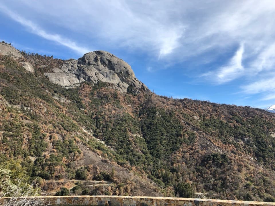
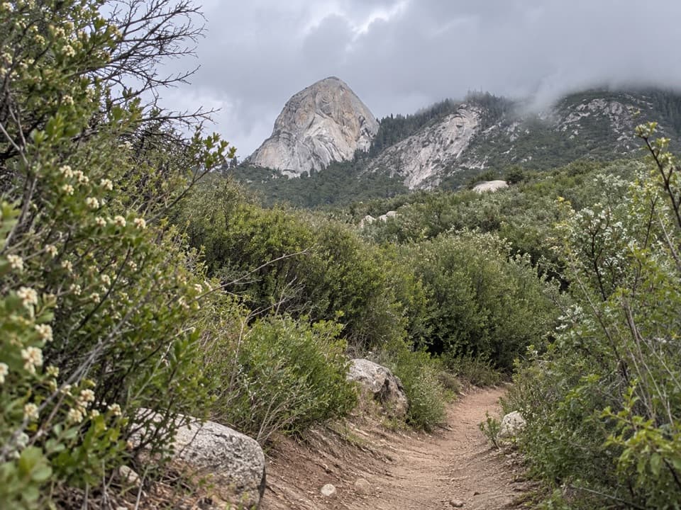
This is Sequoia’s rugged foothill traverse along the south wall of the Middle Fork Kaweah. As a full outing, it runs about 22.6 miles total out-and-back with roughly 4,419 feet of gain and takes around 11 hours. Many hikers wisely opt for shorter turnarounds to Panther Creek or Mehrten Creek. Expect a tough, sun-exposed trail with big early views of Moro Rock, Castle Rocks, and the Great Western Divide—but surprisingly little river access until near the upper end.
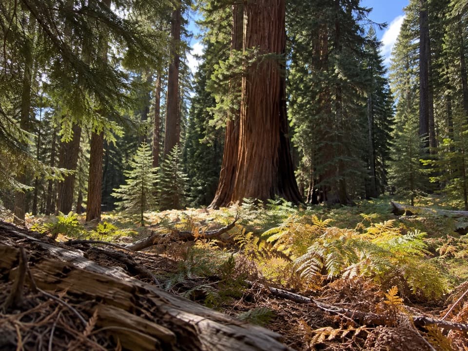
From the start, the path climbs through chaparral with sweeping panoramas. Around 3 miles in, Panther Creek offers cascades, shade, and popular camps—plus a seasonal, unbridged crossing that can be hazardous in high water. Continuing, the trail gets brushier as it rolls toward Mehrten Creek (about 6 miles one way), where a small waterfall and shady pool make a fine rest spot. Farther up, junctions lead toward Bearpaw Meadow (via the Bearpaw Cutoff) and to Redwood Meadow, a remote giant sequoia grove roughly 13 miles from the trailhead. It’s a long push, but the payoff is a quiet stand of sequoias far from the crowds.
Keep an eye on the skyline: the Great Western Divide frames the route, and those granite domes (like Moro Rock) are textbook Sierra batholith. Vegetation shifts with elevation—expect buckthorn, manzanita, black oak, chamise, and bear clover in the first 6 miles; then mixed conifers higher up, with giant sequoias at Redwood Meadow. Wildlife is active at these elevations: mule deer are common; black bears, bobcats, mountain lions, rattlesnakes, and plenty of birds also roam this corridor.
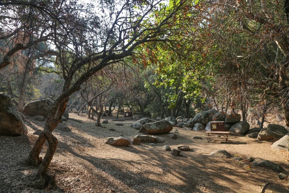
Backpacking is permitted only beyond the wilderness boundary past Panther Creek. Established spots are limited where flat ground exists: Panther Creek (first legal camping), Mehrten Creek, Buck Creek, and at Redwood Meadow. The trail loosely follows the Middle Fork Kaweah, but steep banks limit direct river access; you’ll rely on creeks for water—always treat or filter.
This is a low-elevation, heat-prone hike. Aim for fall, winter, or spring when temperatures are reasonable; spring brings a great wildflower show. Be extra cautious in late spring/early summer when snowmelt swells creeks. Summer heat can be brutal, and shade is sparse. For a shorter, high-reward day, the Panther Creek falls turnaround (about 6.1 miles round-trip) delivers classic views without the full commitment.
When open, drive the Buckeye Flat Campground road and turn left onto the dirt spur just before the campground to reach the trailhead parking (bear box available). When that road is closed (common mid-fall through early spring), park at Hospital Rock Picnic Area and walk about 1.8 miles to the trailhead, adding significant approach and some extra elevation.
Parts of the trail are overgrown with abundant poison oak below 6,000 feet—long sleeves and pants help. Rattlesnakes and ticks are possible. Several crossings are unbridged; Moro Creek near the start can require wading even in lower flows, and Panther Creek can be dangerous during high water. Crossing Granite Creek during runoff can also be hazardous; use the upper route with bridge alternatives when needed. Start early, carry plenty of water and sun protection, and bring trekking poles for stability.
Drive Buckeye Flat Campground Road and turn left onto the dirt spur just before the campground to reach the Middle Fork parking area (bear box on-site). If the Buckeye Flat road is closed, park at Hospital Rock Picnic Area and walk about 1.8 miles to the trailhead.
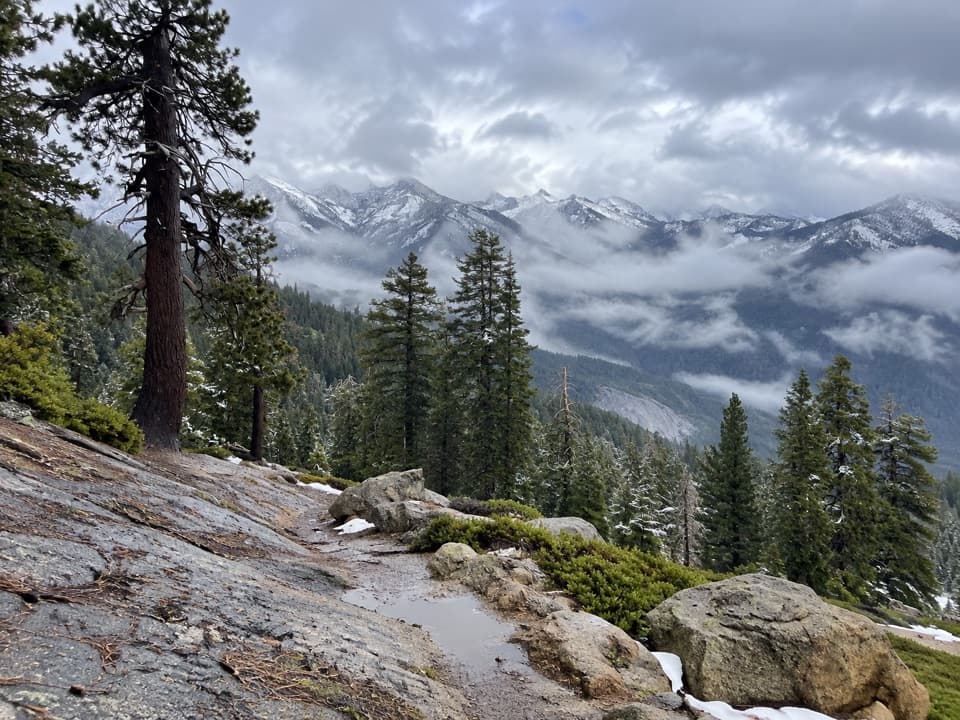
Hot, sun-exposed terrain with overgrowth and poison oak; rattlesnakes and ticks possible. Several unbridged creek crossings (including Moro and Panther) can be unsafe during runoff; use upper-route bridge options for Granite Creek when flows are high. Wilderness camping only past Panther Creek.