Parking
The trailhead is inside Buckeye Flat Campground near site 28. In winter, when the campground road is closed to vehicles, start at Hospital Rock Picnic Area and walk the road to the campground. Check current park access before setting out.

Sequoia National Park, CA
A shaded creek walk with waterfalls and pools.
Overview
Map & elevation
Plan your hike

The highest, rockiest slopes around here are a summer buffet for grizzly bears.
Sequoia Tour Guide
Parkwolf is a GPS audio tour guide for Sequoia National Park. As you drive, it chimes in with what’s ahead: hidden gems, upcoming stops, history, geology, and wildlife, right through your car’s speakers.
See the Sequoia audio tourRecorded for this trailhead
Buckeye Flat and Paradise Creek“You're coming up on Buckeye Flat Campground, where live oaks shade tent sites above the Middle Fork Kaweah River.”
Plays as you drive up to this trailhead in the Parkwolf Sequoia Tour Guide.
More stories near here in the app
“…The kids and my husband and I all agree that the narration really added to our experience driving through the parks. We learned so much about the history and the flora & fauna.”


Trail guide
Paradise Creek Trail is a 2-mile out-and-back from Buckeye Flat Campground. The dirt path climbs gently through oak woodland, crosses the Middle Fork Bridge, then follows Paradise Creek past small cascades and pools. Allow one to two hours with stops. It’s a worthwhile low-elevation outing when you want water and shade, though the park rates it moderate rather than easy.
The park describes the trail as ending after about a mile; this route covers that one-mile corridor and returns the same way. Some maps show a longer continuation up the creek, but the park says going beyond the trail end requires off-trail hiking. Don’t treat that longer line as part of this walk unless you’re prepared for route-finding beyond the maintained trail.
The bridge crosses the Middle Fork Kaweah near the start. Just beyond it, Paradise Creek tumbles into the river; a short walk upstream reaches small pools and cascades. This is the walk’s best pause: frame the moving water with the boulders and trees rather than shooting only the creek bed.
Wildlife
 691 sightingsBlack BearMost seen around 6 PMSighting map
 17 sightingsMountain LionMost seen around 6 AMSighting map
 18 sightingsBobcatMost seen around 7 PMSighting map
 24 sightingsCoyoteMost seen around 7 PMSighting map
 15 sightingsGolden EagleMost seen around 11 AMSighting map
 20 sightingsSpotted OwlMost seen around 7 PMSighting map
Sighting maps show where each species has been reported across Sequoia. Wildlife moves, so no sighting is guaranteed.
Keep exploring
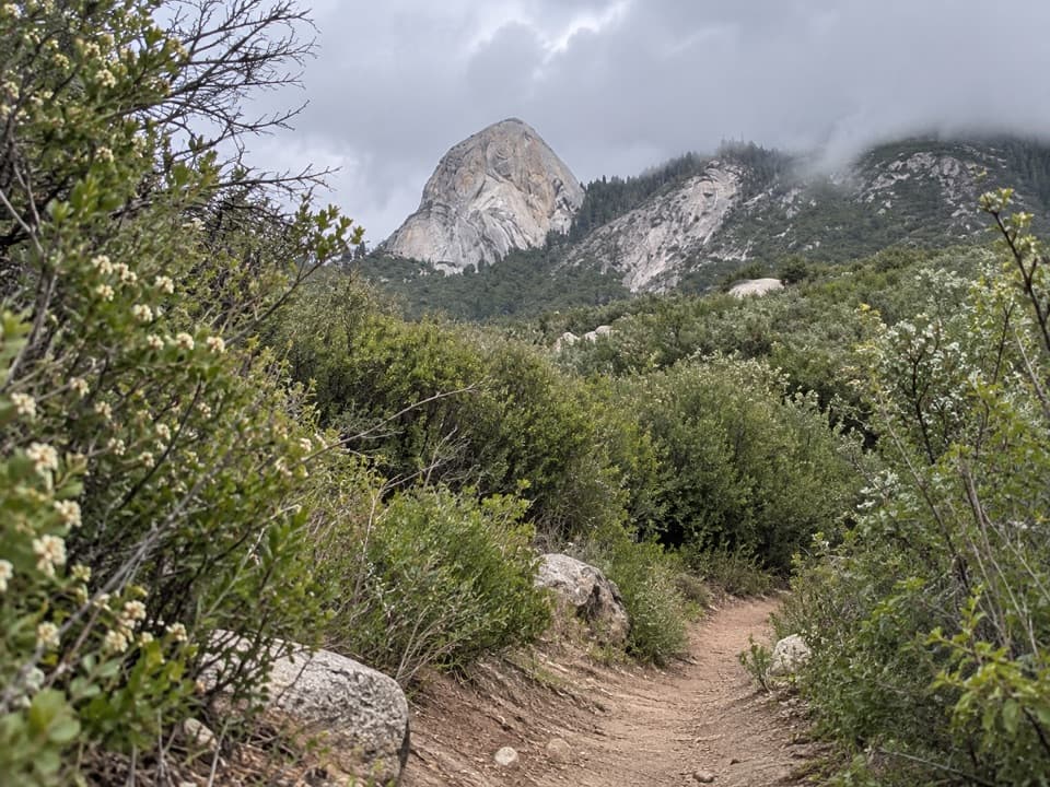 ChallengingMiddle Fork Trail26 mi · 16 hr · 0.8 mi awayA long foothill climb to a remote giant sequoia grove
 ChallengingRedwood Meadow via Middle Fork Trail26 mi · 17 hr · 0.8 mi awayA remote sequoia grove at the end of a long canyon hike.
 ModerateMoro Rock Trail0.5 mi · 1 hr · 1.7 mi awayA short, steep stairway to a sweeping Great Western Divide panorama.
 EasyHanging Rock Trail0.3 mi · 30 min · 1.9 mi awayA perched boulder on open granite above the Kaweah Valley.
 ModerateMarble Falls Trail6.2 mi · 4 hr · 2 mi awayA foothill climb to a waterfall spilling over white marble.
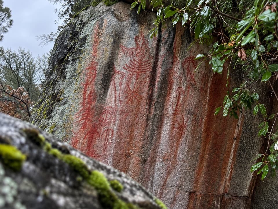 ModeratePotwisha–Hospital Rock Trail4.6 mi · 2.8 hr · 2.1 mi awayA foothill connector to Hospital Rock’s pictographs and mortars.
 EasySugar Pine Trail1.5 mi · 1 hr · 2.4 mi awayA shaded forest connector with a steep spur to Bobcat Point.
 ModerateWolverton Cutoff Loop9.6 mi · 6 hr · 2.4 mi awayViews from a rocky outcrop lead into a quieter sequoia loop.
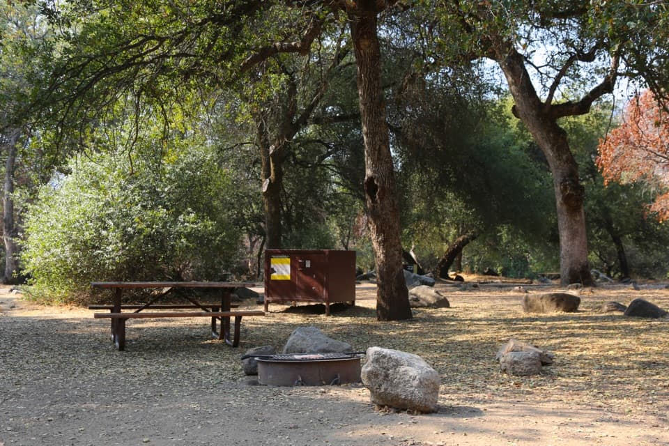
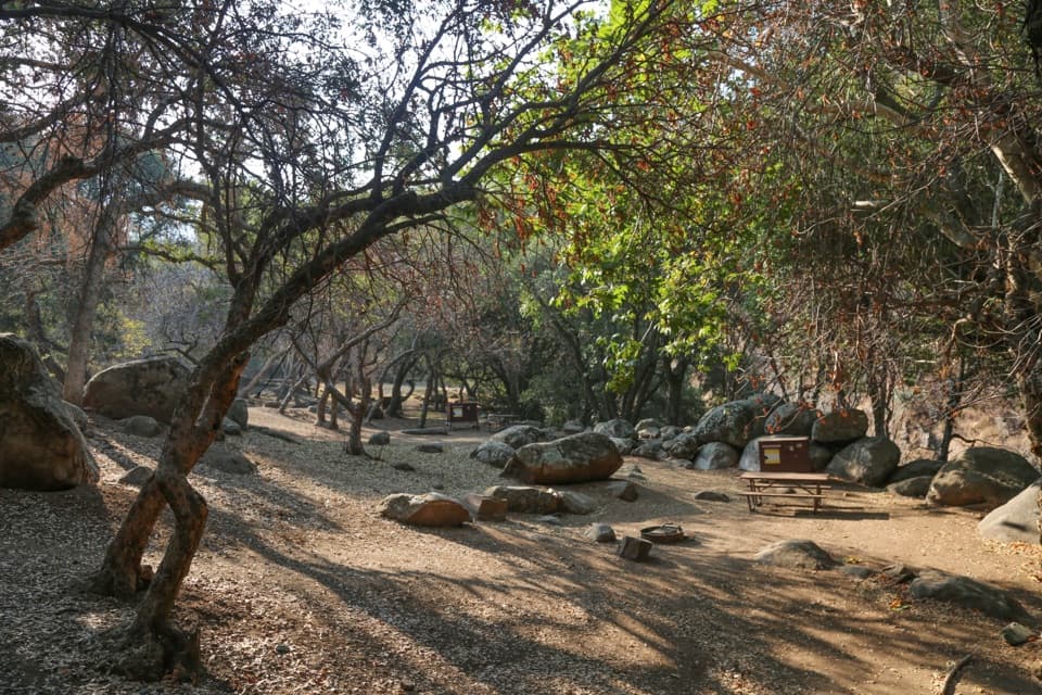 Campground · 0.1 mi awayBuckeye Flat CampgroundAn oak-shaded tent campground above the Middle Fork Kaweah.
 Sight · 0.4 mi awayHospital RockA brief stair climb brings sacred pictographs into view.
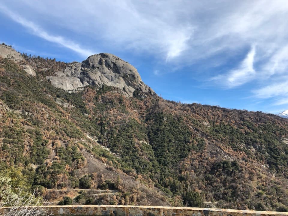 Sight · 1.5 mi awayAmphitheater PointA roadside pause for Moro Rock before the climb into the groves.
 Sight · 1.5 mi awayMoro RockA short, steep stairway opens onto a full Sierra panorama.
 Sight · 1.9 mi awayHanging RockA short climb opens a different view of Moro Rock.
 Sight · 2 mi awayButtress TreeA fallen giant sequoia with an astonishingly broad root plate.
 Sight · 2 mi awayParker GroupEight sequoias, close enough to study their fire scars.
 Campground · 2.1 mi awayPotwisha CampgroundA convenient foothills base; the big sequoias are a drive away.
Parkwolf’s Sequoia ranking

The audio tour guide for the drive, plus offline maps, trails, and wildlife heatmaps for when the signal drops.




