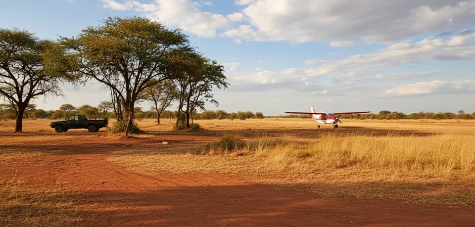
Kogatende Airstrip in Serengeti National Park

Sight · Serengeti National Park

Kogatende Airstrip

Bush gateway to Mara River crossings

Type
Sight
Audio stories
2 nearby
  • Restrooms
  • Wi-Fi

Hear the audio tour

Kogatende and the Mara River

Overview

About Kogatende Airstrip

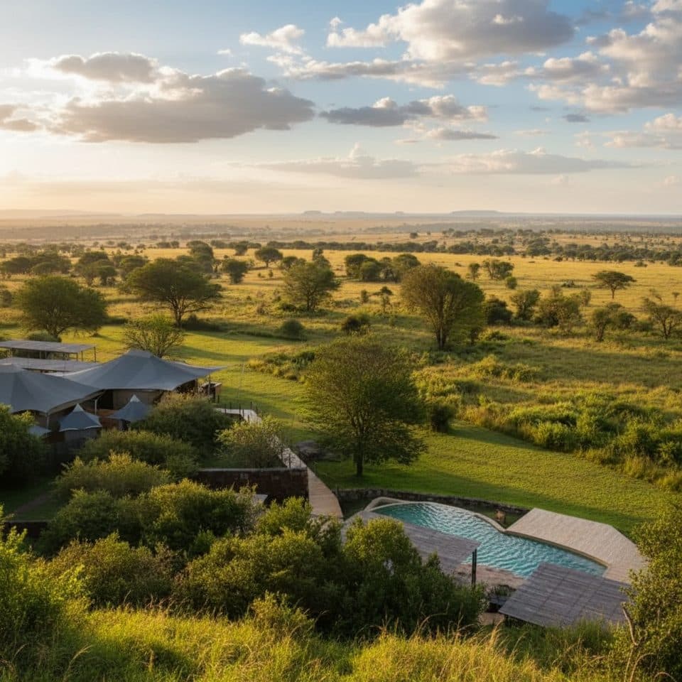
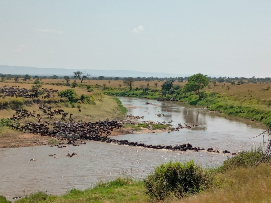
A simple gravel strip tucked beside the Mara River, Kogatende is the northern gateway that drops you right into the action. In migration season, you land minutes from famed crossing points and the Lamai Triangle, so your first game drive can start before the dust settles.

Why stop

  • Closest air access to Mara River crossing points (July–October)
  • Multiple daily bush flights with quick lodge meet-and-greets
  • Flying saves a long 10–12 hour overland drive

Heads up

  • Basic bush facilities—no food or shops; Wi‑Fi can be spotty
  • Strict ~15 kg soft‑duffel luggage limit on small planes
  • Shuttle flights often make multiple stops and timings can change

Map

Where it is

Loading the Serengeti map
Full map
SightKogatende Airstrip-1.56561, 34.88557
Keep this map with you offline in the Parkwolf app

Local know-how

Tips for visiting Kogatende Airstrip

  1. Pack in a soft duffel and keep total to about 15 kg.

  2. Expect multi‑stop routings; keep arrival and departure days flexible.

  3. For migration months (July–October), book flights and camps well ahead.

  4. Use the airstrip restroom before boarding and carry tissues and sanitizer.

  5. Mid‑morning is busiest; early flights mean quicker transfers to camp.

Plan your stop

Before you go

Best time to visit

If you’re chasing drama, target roughly July–October for potential river crossings. Outside peak season, the area is quieter but still rewarding with resident wildlife. On travel days, mid‑morning is typically the busiest window at the airstrip; early flights are calmer and get you to camp sooner. For photos, plan arrivals or departures near golden hour.

Facilities on the Ground

Keep expectations bush‑basic: a shaded waiting area, luggage handling, and a meet‑and‑greet zone where your guide collects you right off the strip. There are simple restrooms and sometimes free Wi‑Fi, but don’t bank on food, shops, or consistently fast internet. Small safari planes typically have no onboard lavatory.

A park ranger sits on a dash-mounted phone, talking, as Parkwolf’s Tour Guide plays “Army Cutworm Moths: A Grizzly Bear Buffet” on Grand Loop Road below Dunraven Pass in Yellowstone
Parkwolf Tour GuideThe highest, rockiest slopes around here are a summer buffet for grizzly bears.

Serengeti Tour Guide

Your drive to Kogatende Airstrip, narrated.

Parkwolf is a GPS audio tour guide for Serengeti National Park. As you drive, it chimes in with what’s ahead: hidden gems, upcoming stops, history, geology, and wildlife, right through your car’s speakers.

See the Serengeti audio tour

Recorded for this place

Kogatende and the Mara River
Listen
“The area you're approaching is Kogatende, in the remote northern part of the Serengeti. The Mara River up here is the park's only permanent one, which makes it a magnet for wildlife year-round.”

Plays as you drive up to Kogatende Airstrip in the Parkwolf Serengeti Tour Guide.

More stories near here in the app

  • Sayari Camp's Prime Location and Unique Brewery
  • Zebras and Wildebeest: The Migration's Odd Couple
  • The Invisible Line
  • Luxury Lodges of the Kuria Hills
  • 132 audio storiesacross Serengeti’s roads, triggered by GPS as you drive
  • Wildlife heatmapsfor Lion, Leopard, Cheetah, and 13 more
  • Works offlinemaps, 1 trails, 84 places, and audio download before you lose signal
  • CarPlay readysimple controls built for the drive
★★★★★
“Fantastic app with many points of information… It’s great to just turn on while you’re driving and it gives you an audio tour of the national Park. We love it!!!!”
JMJamesApp Store review
Download Parkwolf on the App StoreGet Parkwolf on Google Play

4.7 from 8,600+ ratings

Guide

More about Kogatende Airstrip

Why Fly HereOverland is a slog; flying trims a 10–12 hour drive down to well under two.

Overland is a slog; flying trims a 10–12 hour drive down to well under two. Daily bush flights link Kogatende with Arusha, Zanzibar, and other Serengeti strips, so you can hop between camps without backtracking. Expect shuttle-style routings that can add short stops along the way.

Flights, Baggage & RoutesTypical routings include Arusha → Kogatende (~1.
  • Typical routings include Arusha → Kogatende (~1.5 hours), Zanzibar → Kogatende (~2h15), and Dar es Salaam via connections (~3 hours).
  • Small aircraft mean tight baggage rules: about 15 kg total per person in soft duffels (camera gear counts).
  • Schedules flex with demand and weather; times can change day‑of, and planes may touch down at multiple airstrips en route.
Wildlife & What You’ll See NearbyThis corner hums with life—wildebeest, zebra, and gazelle pushing toward the Mara River when…

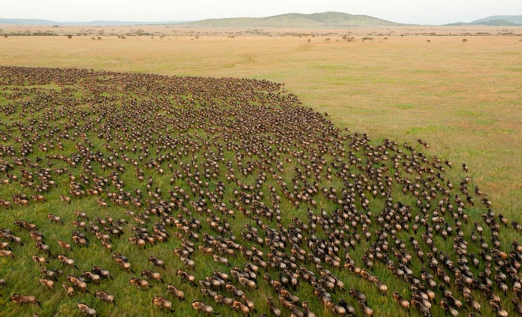
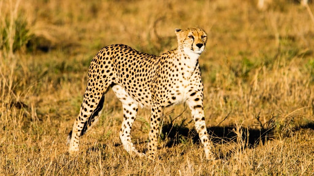
This corner hums with life—wildebeest, zebra, and gazelle pushing toward the Mara River when the crossings are on, with lions, leopards, and cheetahs shadowing the herds. Hippo pods churn the river year‑round, and elephants and giraffe are regulars in the riverine thickets and open kopje country.

Practical NotesBook flights and camps well ahead for peak months; seats and tents vanish fast.
  • Book flights and camps well ahead for peak months; seats and tents vanish fast.
  • Park fees apply and are often bundled into safari packages.
  • Mobile signal is weak out here; most lodges rely on satellite Wi‑Fi.
  • Use the airstrip restroom before boarding and carry tissues/hand sanitizer for long game‑drive days.

Wildlife

Wildlife in Serengeti

All Serengeti wildlife maps

Sighting maps show where each species has been reported across Serengeti. Wildlife moves, so no sighting is guaranteed.

Parkwolf’s Serengeti ranking

Top sights in Serengeti

All 84 places
  1. 1Serengeti National ParkSight
  2. 2KogatendeSight
  3. 3SeroneraSight
  4. 4Seronera RiverSight
  5. 5Kogatende Mara River BanksSight
  6. 6Lamai WedgeSight

Take Parkwolf to Serengeti.

The audio tour guide for the drive, plus offline maps, trails, and wildlife heatmaps for when the signal drops.

4.7 from 8,600+ ratings

Download Parkwolf on the App StoreGet Parkwolf on Google Play