
Place
Moderate
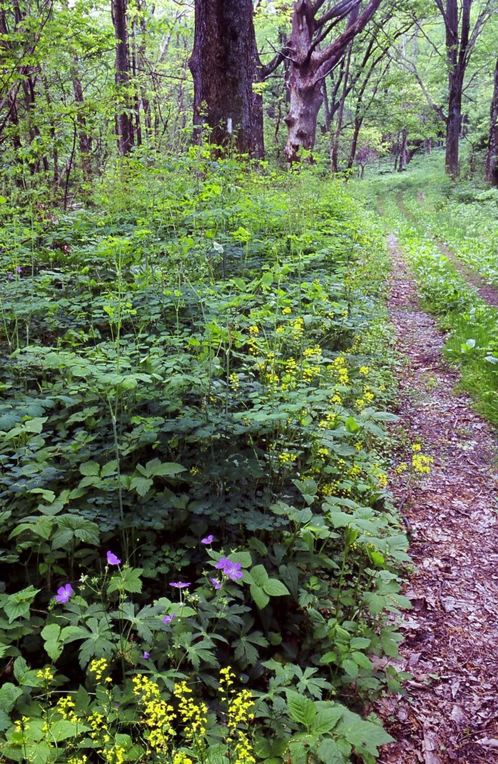
This is Shenandoah’s signature traverse: roughly 101 miles of the Appalachian Trail running the length of the park from near Front Royal in the north to Rockfish Gap in the south. It’s a point‑to‑point ridge walk that mirrors Skyline Drive, with frequent road crossings and blue‑blazed side trails. The tread is famously well‑maintained for an AT segment, but don’t let the “easy for the AT” reputation fool you—the ups and downs stack real elevation over the full distance.
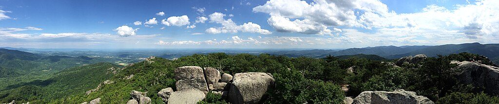
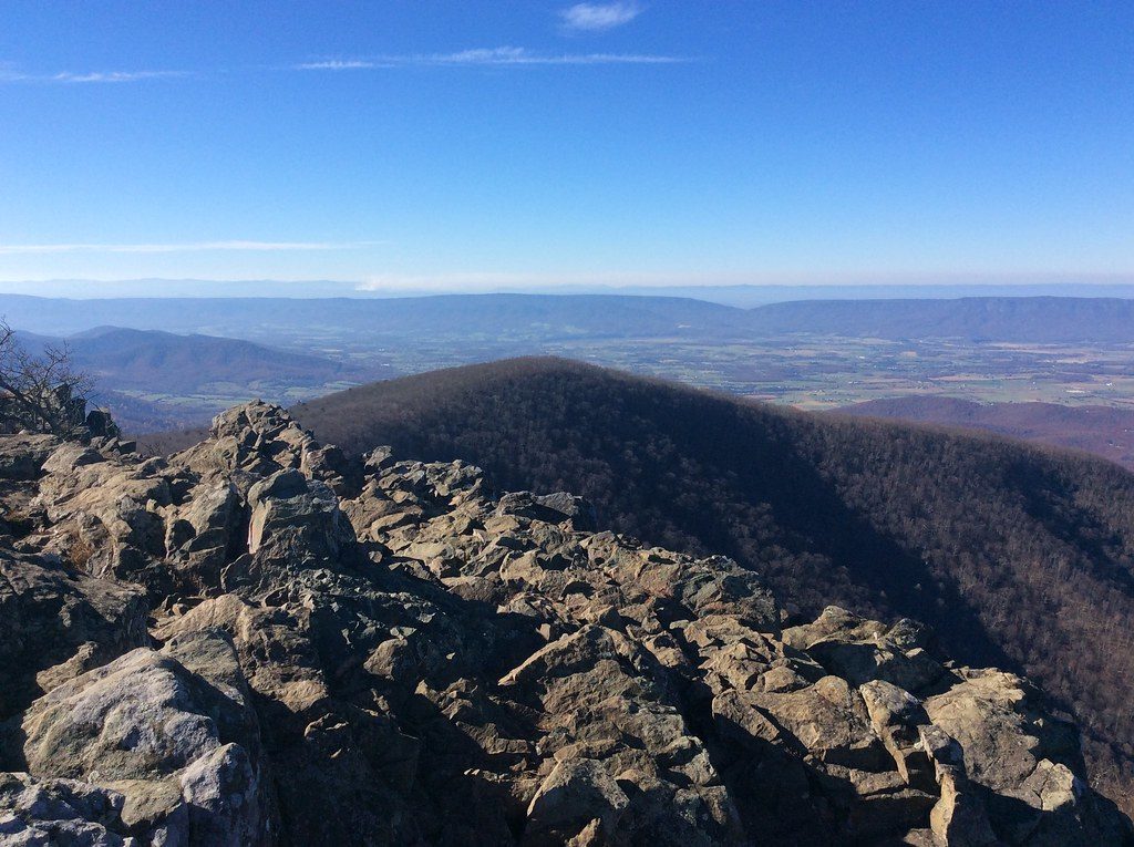
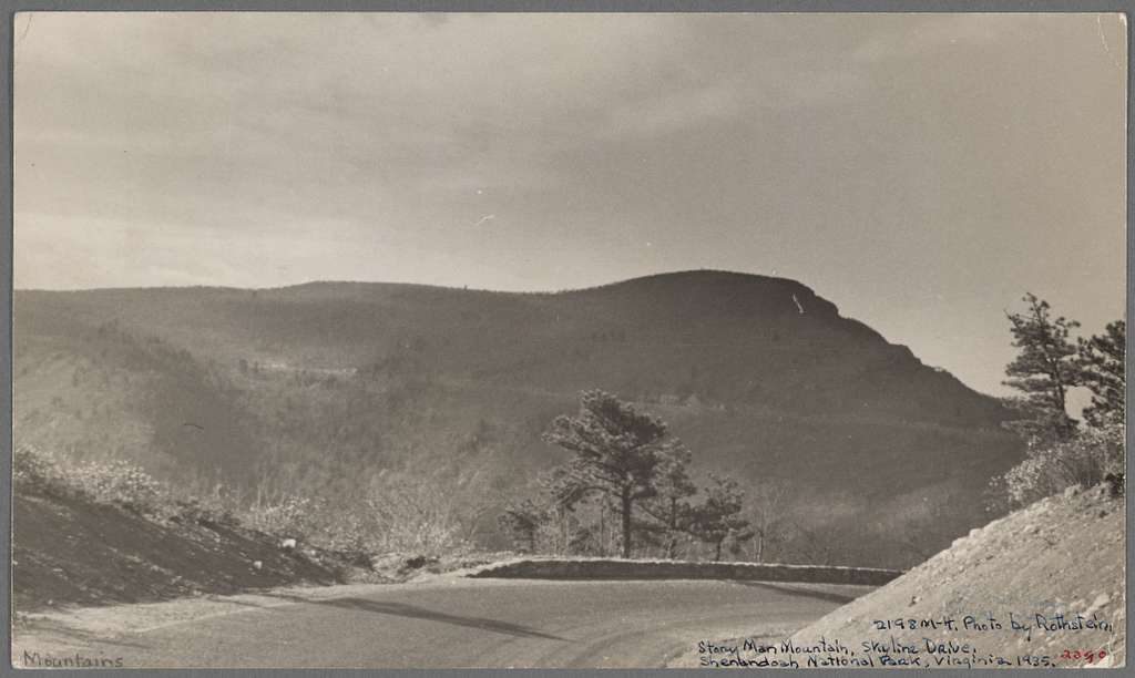
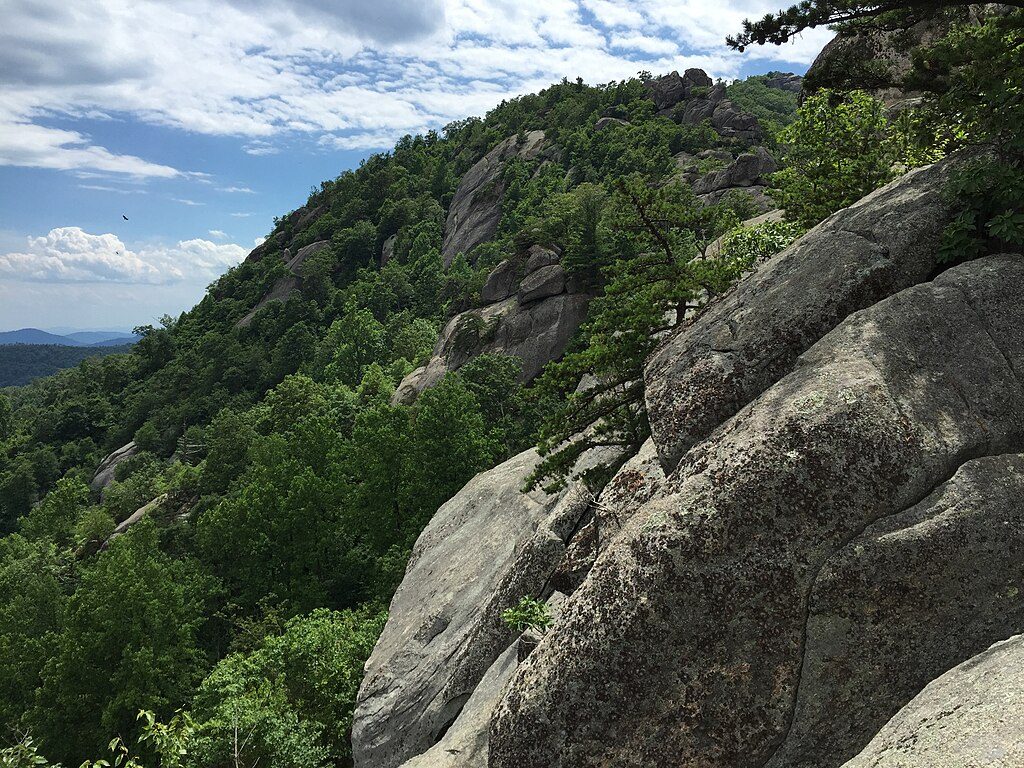
Expect rolling ridges, big forest, and regular windows onto the Shenandoah Valley and the Piedmont. Standout views and features along or just off the corridor include Compton Peak’s columnar basalt, the park‑highpoint dome of Hawksbill, Stony Man’s classic panorama, and Bearfence Mountain’s 360‑degree perch and rock scramble. Spring brings wildflowers and lively waterfalls via blue‑blazed spurs; autumn delivers famous foliage and crisp air. Wildlife is part of the show—deer are everywhere, and black bears, copperheads, bobcats, birds, and salamanders all share the corridor.
Navigation is straightforward, but the cumulative elevation gain is significant over the full park section. Strong hikers can string together 15–20 mile days thanks to the smooth tread and frequent access, while newcomers to multi‑day hiking will appreciate the reliable wayfinding and shelter/campsite rhythm.
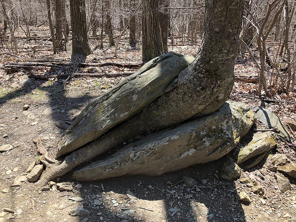
Skyline Drive keeps this section flexible: countless trailheads for day‑hike sampling, easy shuttle setups for section hikes, and timely bail‑outs if weather turns. If you like comfort, “lodge‑to‑lodge” or cabin hops are possible, and the park’s campgrounds sit close to the AT. Blue‑blazed side trails lead to waterfalls, extra overlooks, and geologic oddities—don’t ignore them.
Day hiking needs no permit. For backcountry overnights, free registration is required within the park. Developed campgrounds require a fee. Pets are allowed but must stay leashed (6 feet) at all times. Water sources and park services can be seasonal—plan accordingly and check current info before you go.
Spring and fall are prime: moderate temps, flowing waterfalls in spring, and crisp, clear views with peak color in autumn. Summer is lush but hot and humid with a higher chance of thunderstorms—start early and watch the radar. Winter can be wonderfully quiet with open views, but expect cold conditions and fewer services.
It’s one of the most scenic and forgiving long sections of the AT—ideal for a first real section hike, yet still rewarding for veterans thanks to the views, wildlife, and easy logistics.
Multiple trailheads along Skyline Drive throughout the park. Southern terminus at Rockfish Gap; the northern end lies near Compton Mountain within the park before the trail continues toward U.S. 522 and Front Royal. Use Skyline Drive lots, campgrounds, and waysides for staged section hikes.
Expect significant cumulative elevation, seasonal water sources and services, summer thunderstorms and humidity, and active wildlife (including black bears and copperheads). Register for backcountry camping and follow food storage rules.
Place

Place
Place
Place

Challenging
Challenging
Challenging
Easy

Parkwolf Tour Guide
