
Place · 0 mi away
Challenging
This is the Appalachian Trail at its most approachable: roughly 101 miles threading the Blue Ridge crest with steady views, frequent access, and a surprising amount of comfort for a long-distance hike. Expect well-maintained tread, generally gentle grades, and enough bail-out points to keep plans flexible. If you want the classic AT experience without the sufferfest, this is a standout.
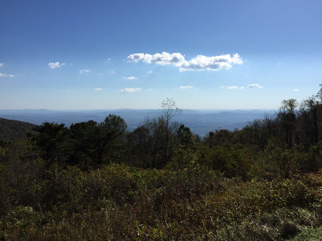
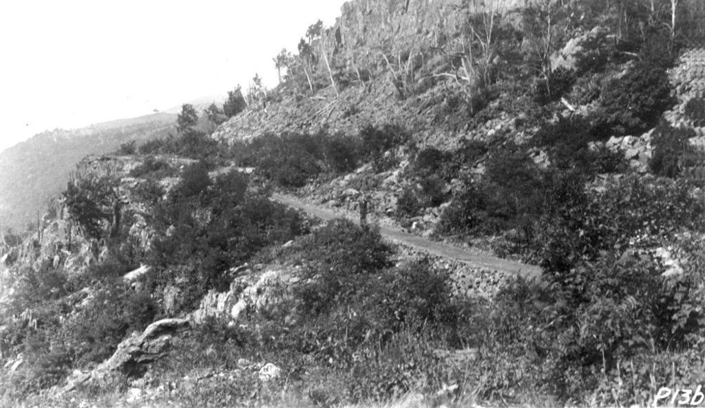
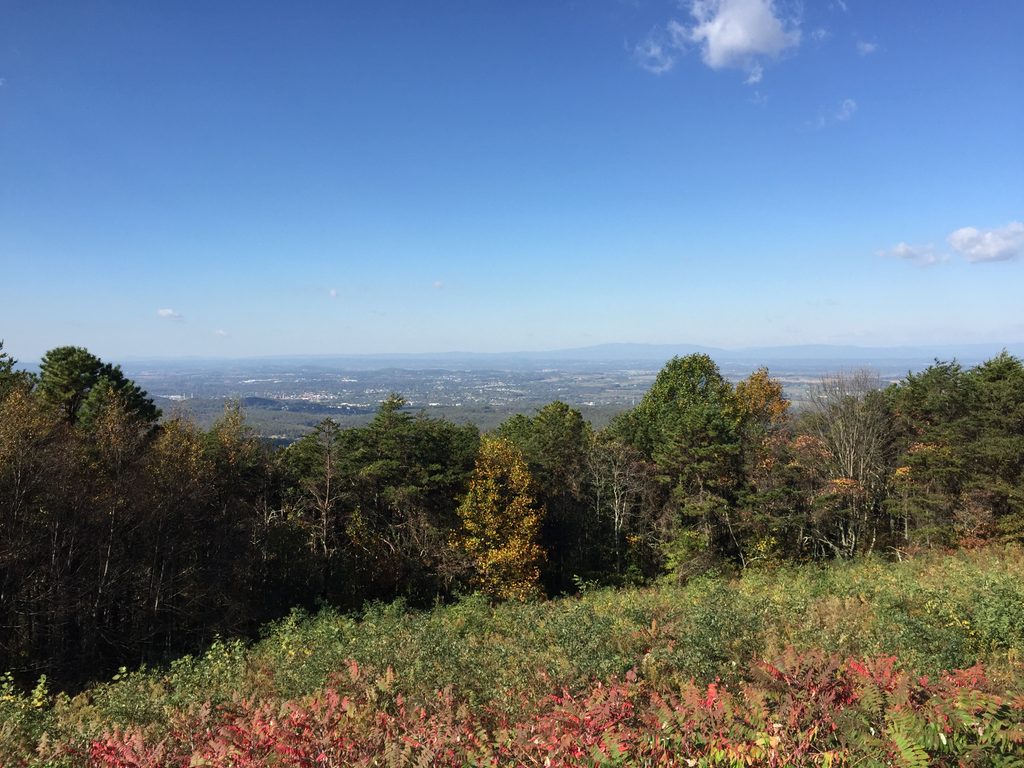
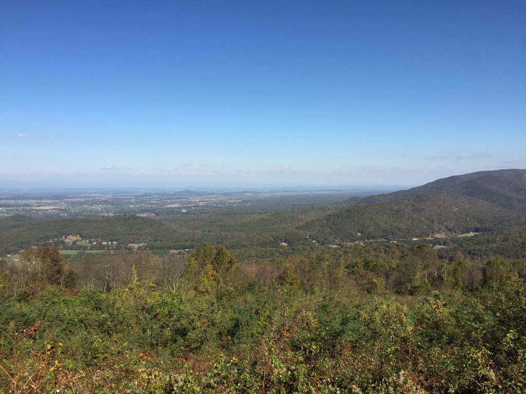
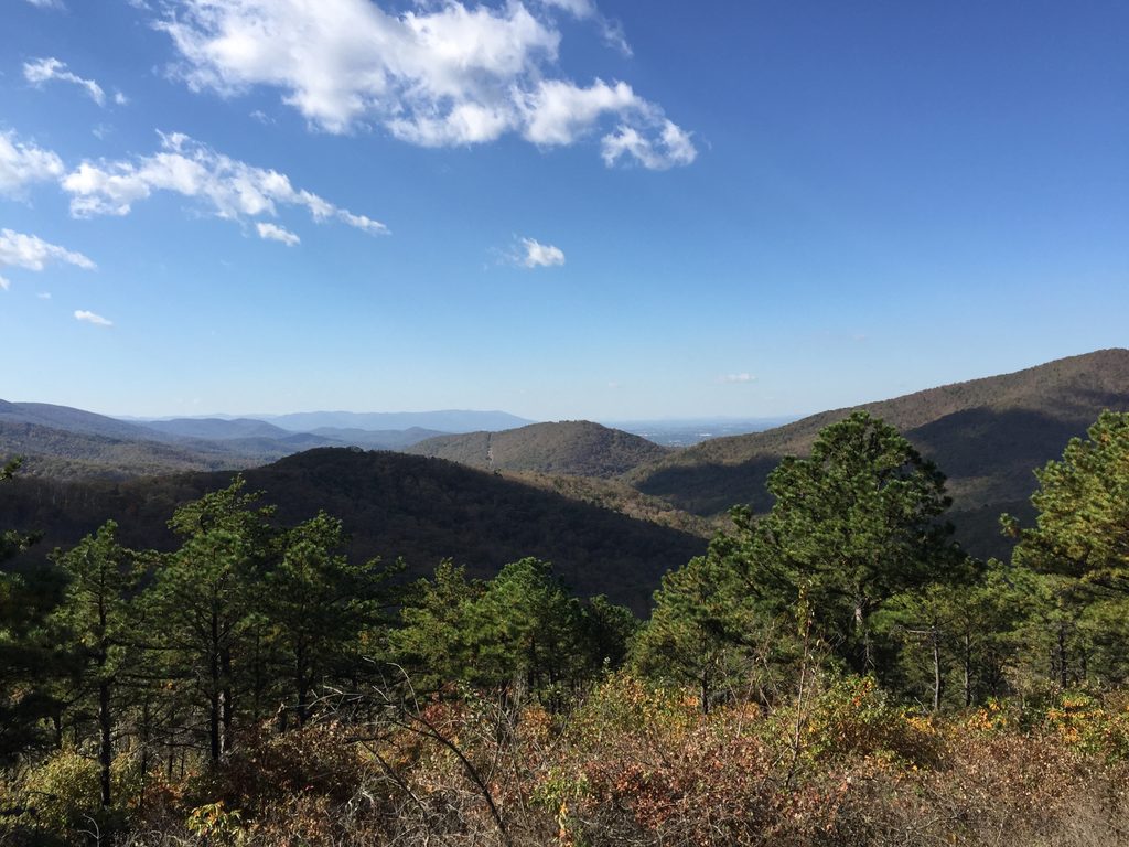
You’ll walk hardwood forests and mountain laurel thickets, pop out to talus-studded outlooks, and catch repeated panoramas of the Shenandoah Valley to the west and the Piedmont to the east. Blue‑blazed side trails peel off constantly—short detours to waterfalls, viewpoints, and summits like Hawksbill and Bearfence (that one adds a fun rock scramble and 360-degree views). Keep an eye out for historic Civilian Conservation Corps stonework—steps and retaining walls that give the route its sturdy, old‑world feel.
Inside the park, the AT runs about 101 miles (point‑to‑point). Many hikers extend the traverse between Rockfish Gap in the south and the Route 522 area near Front Royal in the north, which pushes the total to roughly 107+ miles. Plan on around 54 hours of moving time for the full traverse, give or take your pace. It’s not technical, but the repeated ups and downs add up—expect a sustained effort rather than one big crux.
Skyline Drive intersects or parallels the AT all along this section, making shuttles, resupplies, or bail‑outs straightforward. You can camp in the backcountry (permit required) or stitch together a cushier “lodge‑to‑lodge” itinerary with spots like Big Meadows and Lewis Mountain Cabins for showers and meals. Huts (shelters) are spaced conveniently for classic section‑hiking rhythms. Navigation is simple, but a good map makes side‑trip planning much easier.
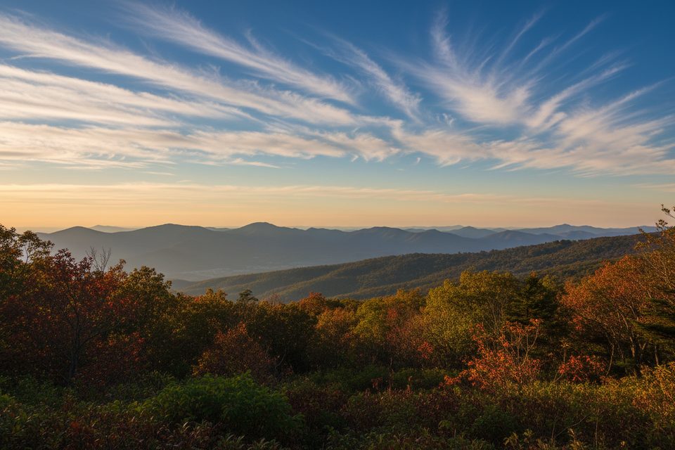
These mountains are ancient—watch for greenstone and granite outcrops and the talus slopes below them. Spring brings wildflowers and rushing falls; summer is lush; fall lights up the ridges in color. Wildlife is part of the show: deer are everywhere, black bears are commonly seen, and copperheads and salamanders turn up in the right habitats.
This section is famous for being “easier AT,” but the elevation changes still stack up over 100 miles. Late‑summer water can be scarce, so carry extra and verify sources. Bears are common—store and handle food properly. In winter, ice on ridgelines and rocks can be a trip‑ender without traction.
Start at Rockfish Gap (south) or near Route 522 by Front Royal (north), or use any of the many Skyline Drive crossings—Beagle Gap is a popular access point. Park only in signed pullouts or lots along Skyline Drive.
Bears and copperheads are common; manage food and watch your step. Heat, humidity, bugs, and dwindling water in late summer; snow and ice possible in winter. Plan water and side trips with a detailed map.
Place · 0 mi away
Place · 0.6 mi away
Place · 1.7 mi away
Place · 2.8 mi away
Moderate · 0 mi away
Moderate · 3.9 mi away
Moderate · 5.3 mi away
Challenging · 5.6 mi away

Parkwolf Tour Guide
