
Place · 0.2 mi away
Moderate
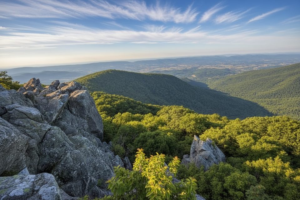
If you like your views earned by a little scrappy off-trail adventure, Bettys Rock delivers. This is a short, unmaintained route to a dramatic rocky overlook with wide-open Shenandoah Valley vistas. Expect faint tread and some light bushwhacking rather than a signed, groomed trail.
Plan on roughly 1.0 mile total, out-and-back. The most common start is the Crescent Rock Overlook area along Skyline Drive, then a bushwhack north toward the summit outcrop. There’s no official trailhead and the Park Service no longer maintains the route, so don’t expect blazes or consistent footbed. Footing is rocky and you may need to use your hands for balance in a few spots. The summit sits around 3,711 feet and the approach can feel steeper than the mileage suggests, with roughly 350 feet of climbing.
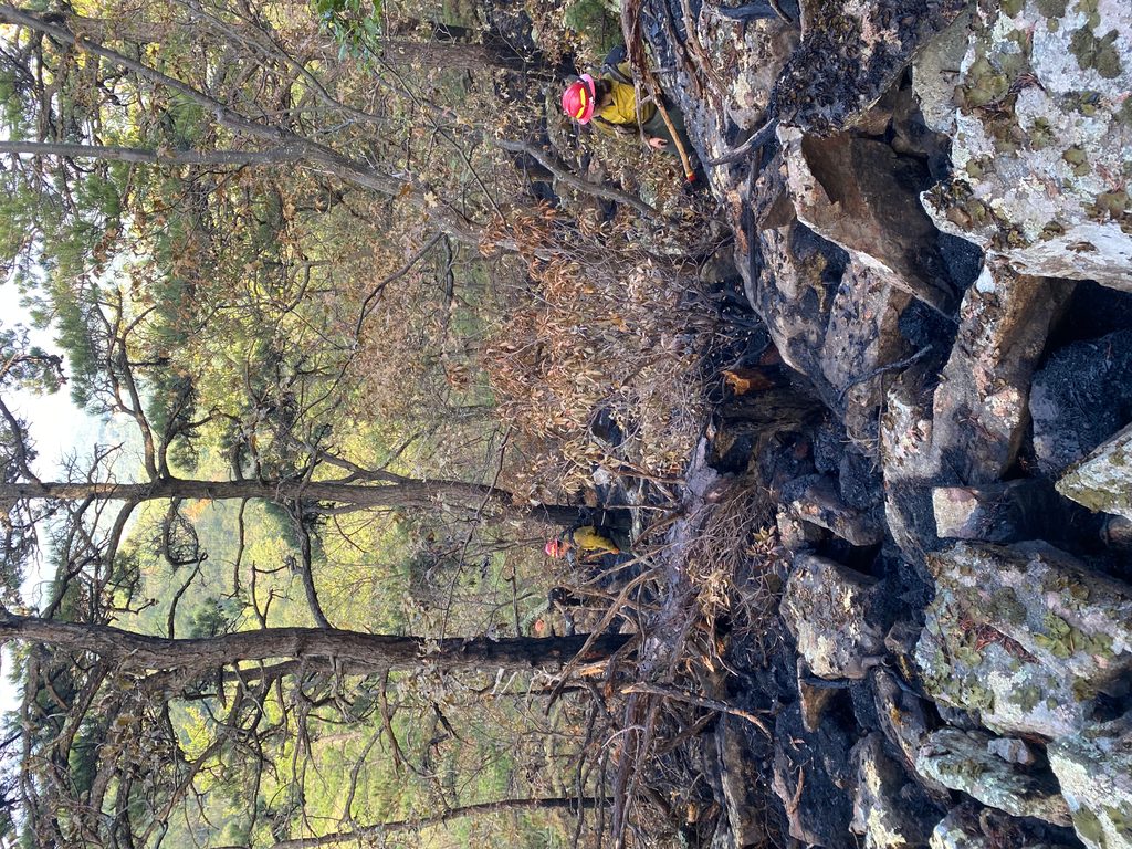
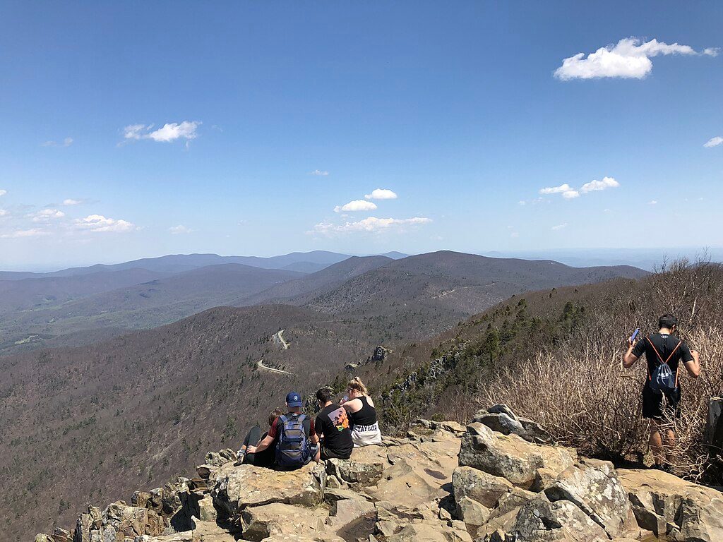
Scenery is the whole point here: Bettys Rock itself is a prominent, weathered outcrop with big, unobstructed views—great for photos and a quiet sit if you hit it at off-peak times. You’ll pass through mixed hardwood forest on the approach, then onto the bare rock where vegetation thins. The rock here reflects the Blue Ridge’s ancient metamorphic story—think tough, timeworn granite and quartzite underfoot.
This is not a family-friendly stroll. It’s short, but the lack of signage, faint path, and rocky scrambles mean you should be comfortable navigating. Bring a GPS track or map, sturdy footwear, and treat it like an off-trail outing. Because it’s unofficial and a bit hidden-in-plain-sight near Skyland, you’ll likely see fewer people than on the park’s marquee hikes.
Best time to hike: Spring through fall for pleasant temps and either green views or peak foliage; it can shine at sunset thanks to the broad overlook. Winter is doable but can be icy—microspikes help on the rock. After rain, the rock can be slick.
Bottom line: For experienced hikers who enjoy a short, scrappy climb to a stellar overlook, Bettys Rock is a rewarding little detour. If you prefer well-marked, maintained trails, consider a nearby classic instead and save this one for when you’re up for some light bushwhacking.
Park at Crescent Rock Overlook along Skyline Drive; the common approach bushwhacks north toward Bettys Rock from there.
Unmaintained, faint route with rocky footing and light scrambling; limited or no signage. In winter, ice on the rock is common—microspikes recommended.
Place · 0.2 mi away
Place · 0.2 mi away

Place · 0.2 mi away
Place · 0.3 mi away
Easy · 0 mi away
Moderate · 0.3 mi away
Easy · 0.5 mi away
Easy · 0.5 mi away

Parkwolf Tour Guide
