Parking
Park at the Skyland Amphitheater at mile 42.5 on Skyline Drive; the trailhead is just uphill from the amphitheater.

Shenandoah National Park, VA
Rocky climb to a former fire-tower site with wide valley views.
Overview
Map & elevation
Plan your hike

The highest, rockiest slopes around here are a summer buffet for grizzly bears.
Shenandoah Tour Guide
Parkwolf is a GPS audio tour guide for Shenandoah National Park. As you drive, it chimes in with what’s ahead: hidden gems, upcoming stops, history, geology, and wildlife, right through your car’s speakers.
See the Shenandoah audio tourRecorded for this trailhead
Millers Head: A Walk to the Old Fire Lookout“Up ahead is the Millers Head trailhead at Skyland Amphitheater, for a walk to a stone lookout over valley farms and ridges.”
Plays as you drive up to this trailhead in the Parkwolf Shenandoah Tour Guide.
More stories near here in the app
“Fantastic app with many points of information… It’s great to just turn on while you’re driving and it gives you an audio tour of the national Park. We love it!!!!”


Trail guide
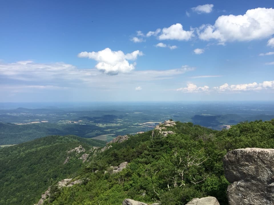
Millers Head Trail is a 1.6-mile out-and-back from Skyland Amphitheater to a stone platform at the former fire-tower site. The path drops through woods and along a rocky ridge to a broad Shenandoah Valley view. Allow about two hours. It’s a good short hike if you want a memorable overlook without committing half a day; the catch is the return, which climbs the same rocky trail.
The trail starts just uphill from the amphitheater, crossing a grassy patch before entering the woods. A short spur leads to Bushytop, with a northwest-facing view over the valley; retrace that spur to rejoin the main path. Farther along, the route bends across rocky ground on a narrow ridge. Another small spur looks south toward Hawksbill.
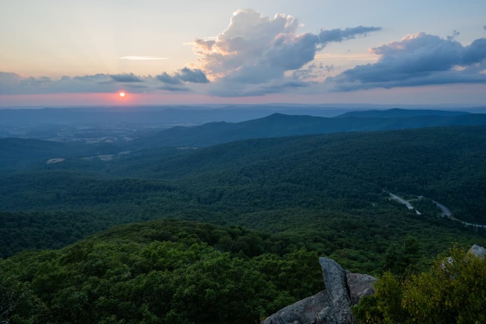
A final short climb reaches the maintained platform where the fire tower once stood. The open view stretches across the valley to the ridges on either side. This is the main payoff, so give yourself a few minutes here. For a photo, include the low stone wall in the foreground to show the overlook as well as the view.
Park at the Skyland Amphitheater at mile 42.5 on Skyline Drive; the trailhead is just uphill. Follow the blue blazes and retrace your steps from the platform. The footing is rocky, and the steeper uphill work comes on the return. Pets are allowed on a physical leash no longer than six feet. The park entrance pass is required, but there’s no separate trail fee or reservation. This route is not ADA accessible.
Wildlife
 325 sightingsBlack BearMost seen around 6 AMSighting map
 21 sightingsBald EagleMost seen around 10 AMSighting map
 1,036 sightingsWhite-tailed DeerMost seen around 7 PMSighting map
 167 sightingsWild TurkeyMost seen around 7 AMSighting map
 93 sightingsTimber RattlesnakeMost seen around 6 PMSighting map
 24 sightingsCoyoteMost seen around 6 AMSighting map
Sighting maps show where each species has been reported across Shenandoah. Wildlife moves, so no sighting is guaranteed.
Keep exploring
 ModerateWhiteoak Falls (Upper)4.6 mi · 3.5 hr · 0.4 mi awayA waterfall overlook with a steep climb back to Skyline Drive.
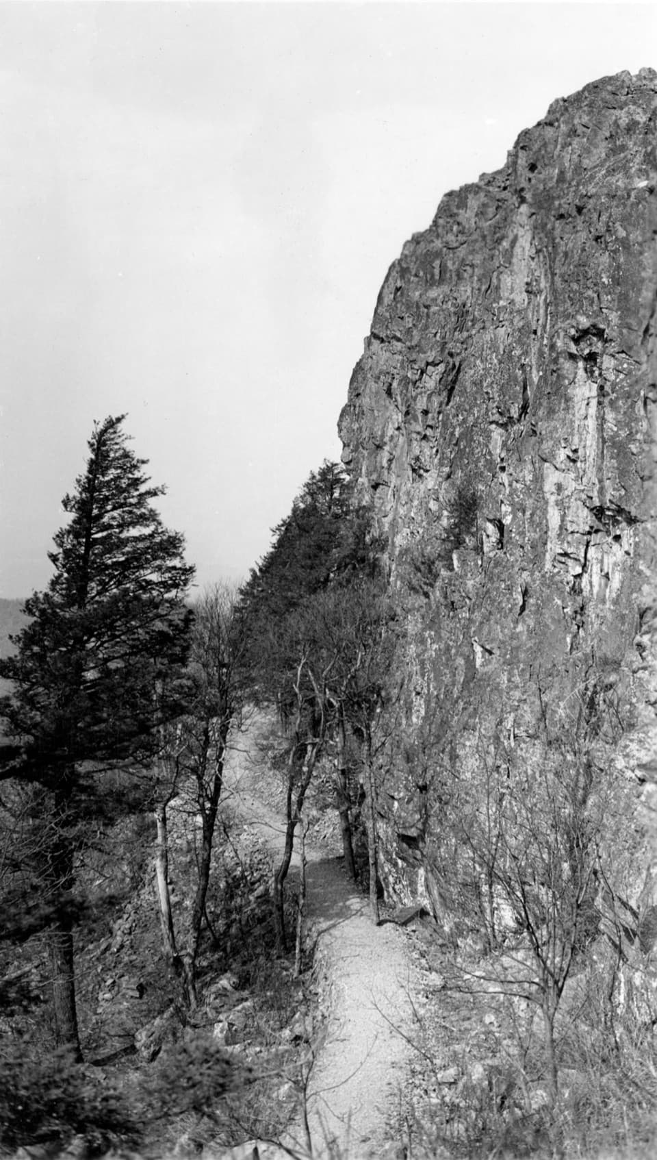 ModeratePassamaquoddy Loop3.4 mi · 3 hr · 0.4 mi awayA wooded Skyland circuit with rocky clearings and valley views.
 EasyStony Man Hike1.6 mi · 1.5 hr · 0.4 mi awayA short loop to greenstone ledges and wide valley views.
 EasyLimberlost Trail1.3 mi · 1.5 hr · 0.8 mi awayAn accessible forest loop with a rare columnar-jointing formation.
 EasyCrescent Rock Overlook via Limberlost3.4 mi · 2 hr · 0.8 mi awayA shady forest climb opens onto a rocky Massanutten view.
 ModerateStony Man and Little Stony Man Hike3 mi · 2 hr · 1.4 mi awayTwo rocky viewpoints and a Skyline Drive view in three miles.EasyLittle Stony Man Hike1 mi · 1 hr · 1.4 mi awayA short climb to open views across Page Valley.
 ChallengingCrusher Ridge Trail4.7 mi · 4.5 hr · 2 mi awayA wooded ridge hike with a steep climb back to the AT.
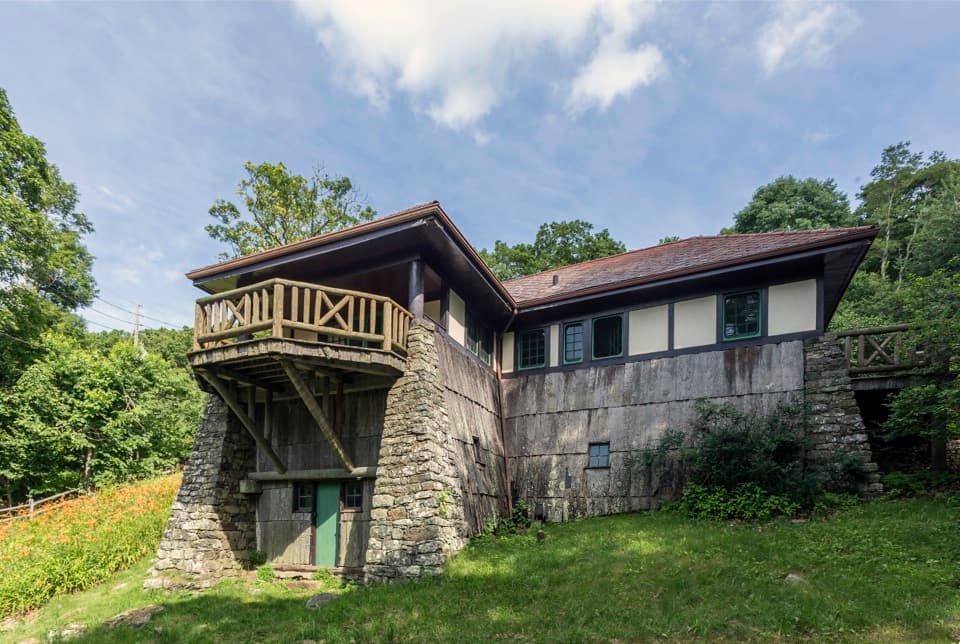 Sight · 0.1 mi awayMassanutten LodgeA cottage museum about Skyland's early years and its women.
 Sight · 0.2 mi awaySkylandA historic Skyline Drive resort with valley-view dining and nearby hikes.
 Sight · 0.3 mi awaySkyland StablesA slow, wooded ride past an old apple orchard.
 Sight · 0.6 mi awayMillers HeadRocky out-and-back to a stone lookout on a former fire-tower site.
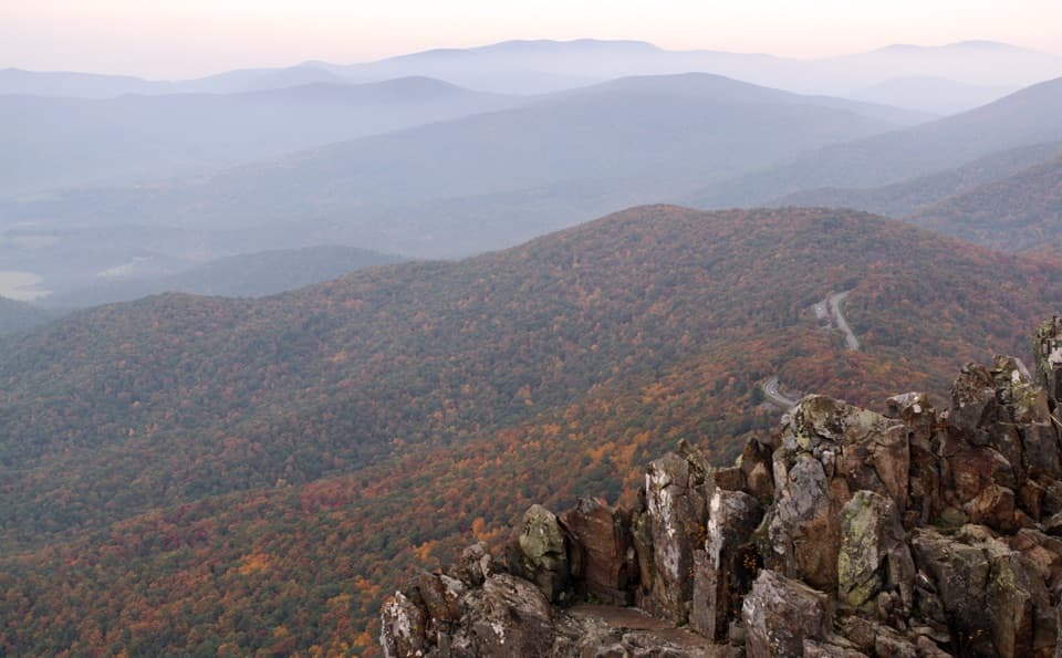 Sight · 0.7 mi awayStony Man SummitA short climb ends at a rocky, west-facing valley panorama.
 Scenic pullout · 1.1 mi awayTimber Hollow OverlookA west-facing view with a story from Shenandoah’s creation.
 Sight · 1.2 mi awayLittle Stony Man CliffsA short rocky climb opens over Skyline Drive and Page Valley.
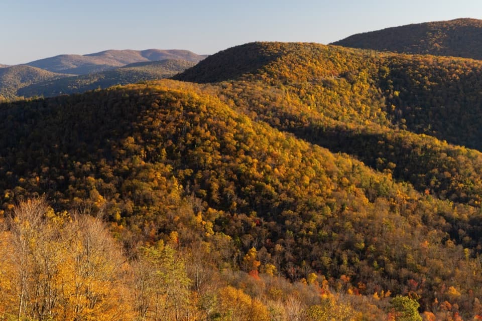 Scenic pullout · 1.2 mi awayHemlock Springs OverlookA quick overlook with a mountain view and a hemlock story.
Parkwolf’s Shenandoah ranking

The audio tour guide for the drive, plus offline maps, trails, and wildlife heatmaps for when the signal drops.