
Place · 0.4 mi away
Moderate
If you want Shenandoah’s greatest hits in one hike, this loop delivers: three named waterfalls, long streamside stretches, and that satisfying Skyline Drive descent-then-climb rhythm. Expect about 6.6 miles total with roughly 1,200–1,400 feet of gain, linking Jones Run Trail, Doyles River Trail, and a short connector on the Appalachian Trail.
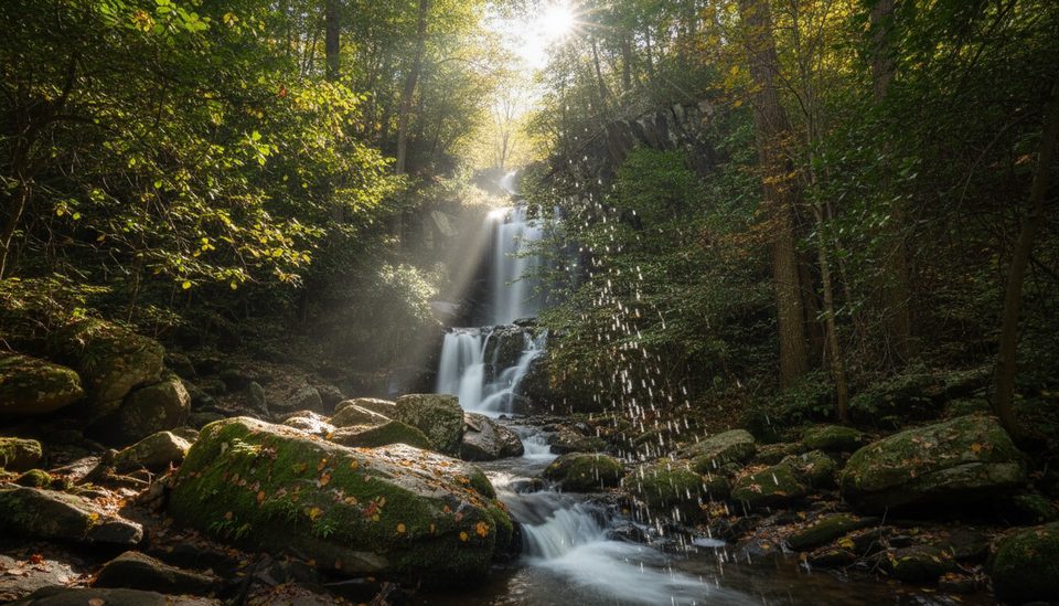
You’ll drop from the ridge into cool, ferny hollows, first visiting the fan-shaped Jones Run Falls, then curving over to Doyles River to see the 63‑foot Lower Doyles River Falls and the photogenic 28‑foot Upper Falls. Between them, you’ll pass cascades, pools, and mossy boulder gardens—classic Blue Ridge stream scenery.
Hike it clockwise from Jones Run parking for a mellow descent to start, then pay it back with the sustained climb up Doyles River before cruising the AT back to your car. Either direction, budget energy for that return climb. The tread is natural and rocky in spots, with possible mud and a few easy stream crossings that can get slick after rain.
Spring is prime for flow and wildflowers; fall brings standout color. Summer stays shady and cooler in the hollows (though water can run lower late season). After rains, the waterfalls surge—great photos, but watch your footing. Winter can be beautiful with ice, but expect icy patches.
Keep an eye out for rhododendron and mountain laurel blooms in late spring, salamanders near seeps, and the occasional white‑tailed deer or black bear. Brook trout live in the creeks—look, don’t wade. Dogs are welcome on a 6‑foot leash.
Tips: wear real boots, consider trekking poles, and start early on weekends—parking fills. If you only want a sampler, an out‑and‑back to either Doyles River Falls or Jones Run Falls is a shorter option. Otherwise, this loop is the fuller, better experience—and one of the South District’s best waterfall days.
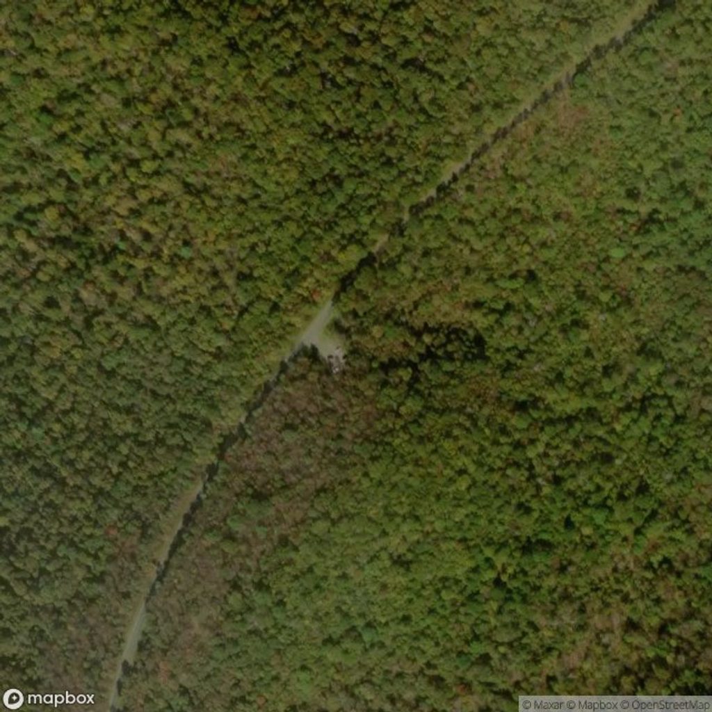
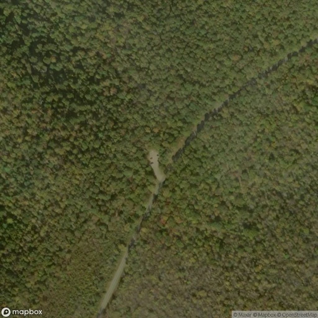
Park at the Jones Run parking area on Skyline Drive; arrive early on weekends. You can also start from Doyles River Parking Area (around milepost 81.1) and link the same loop.
Expect a steep, sustained climb on the return; rocks and streamside slabs get slick after rain or ice. Several small crossings may run higher after storms. Not ADA accessible; keep dogs leashed.
Place · 0.4 mi away
Place · 0.5 mi away
Place · 0.5 mi away
Place · 1 mi away
Moderate · 0 mi away
Moderate · 0 mi away
Moderate · 0.6 mi away
Moderate · 0.6 mi away

Parkwolf Tour Guide
