
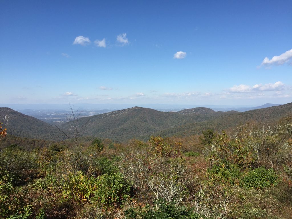
Place · 0.4 mi away
Moderate
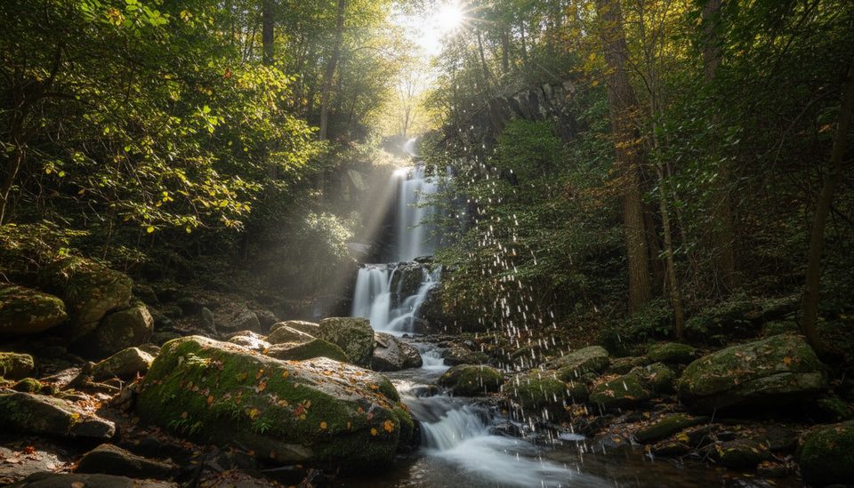
If you want Shenandoah’s best waterfall bang for your buck, this loop strings together Jones Run Falls and both Upper and Lower Doyles River Falls in one shaded circuit. Expect a total of about 6.6 miles (full loop) linking the blue‑blazed Jones Run and Doyles River Trails with a connector on the Appalachian Trail and Browns Gap Road. You’ll drop from Skyline Drive into a rocky, stream‑cut hollow, spend quality time beside rushing water, then grind back to the ridge.
The showpieces are three named falls: Jones Run Falls (about 42 feet), Upper Doyles River Falls (about 28 feet), and Lower Doyles River Falls (about 63 feet). Between them are countless smaller cascades and clear pools that keep the hike engaging even without big vistas. The forest is classic Blue Ridge hardwood—mature, shady, and lush—so this stays cool even on summer days. Wildlife is a real possibility here: hikers report black bears, white‑tailed deer, and the occasional copperhead near warm, rocky stream sections.
Direction matters. I like going counterclockwise from the Jones Run parking: descend alongside Jones Run early, then climb more gradually up Doyles River and finish with an easier cruise on the Appalachian Trail segment. Many hikers also start at Doyles River Parking (mile 81.1) and go clockwise—either way, you’re descending first and paying it back later. Trails are well signed and blazed (white for the AT, blue for side trails), but intersections appear often enough that a downloaded map is smart given spotty cell service.
Footing can be slick around the waterfalls and after rain, and there’s at least one stream crossing to mind—expect wet rock and take it slow on the steeper pitches down to the bases of the falls. Plan on roughly 1,350–1,400 feet of climbing, and bring real traction underfoot. There’s no potable water on the loop, and parking lots fill early on weekends and peak leaf season.
Best time to hike: Spring is prime for volume and wildflowers after snowmelt and rains. Summer brings deep shade and a cool creek canyon feel, but humidity and pop‑up storms are common. Fall delivers standout foliage in the hollows. Winter can be icy (sometimes with frozen falls)—beautiful, but best for experienced hikers with proper gear.
Logistics: Park at Jones Run (around milepost 84) or Doyles River/Browns Gap (mile 81.1). Pets are allowed on a leash (max 6 feet). Standard Shenandoah entrance fees apply. Start early if you want a spot and quieter falls.
Park at Jones Run parking near milepost 84 on Skyline Drive or at Doyles River/Browns Gap parking near milepost 81.1; both fill early on busy days.
Wet, slick rock near falls; at least one stream crossing that can swell after rain; steep grades on approaches to waterfall bases; unreliable cell service; active black bears and occasional copperheads.
Place · 0.4 mi away
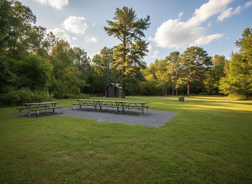
Place · 0.5 mi away
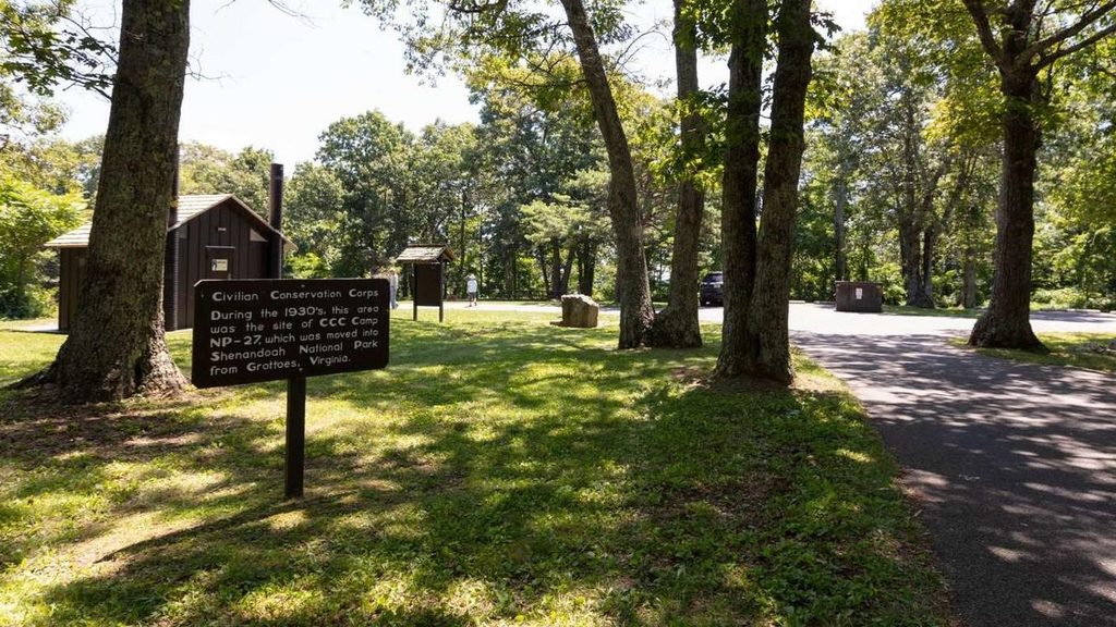
Place · 0.5 mi away
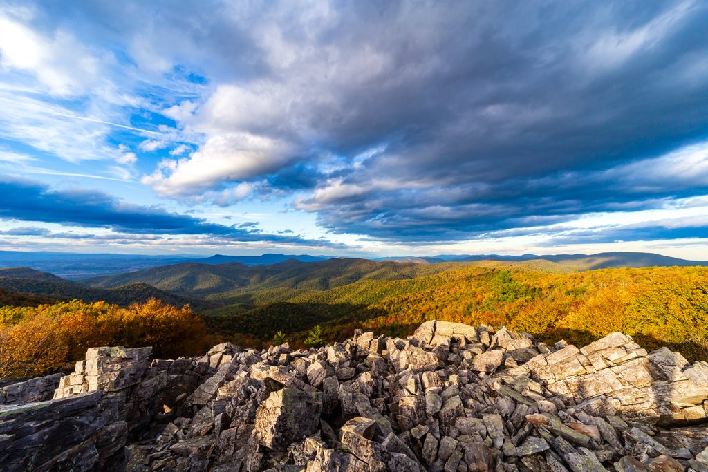
Place · 1 mi away
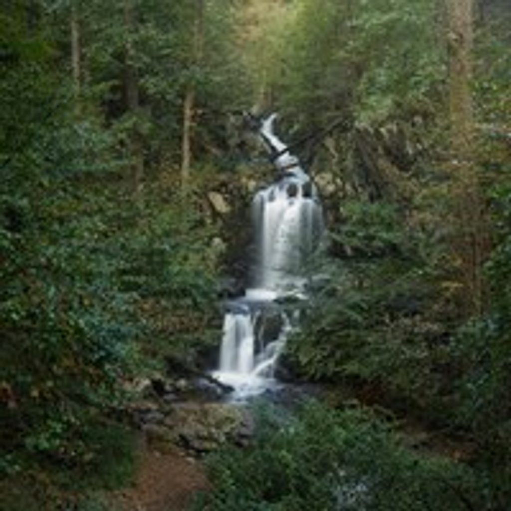
Moderate · 0 mi away
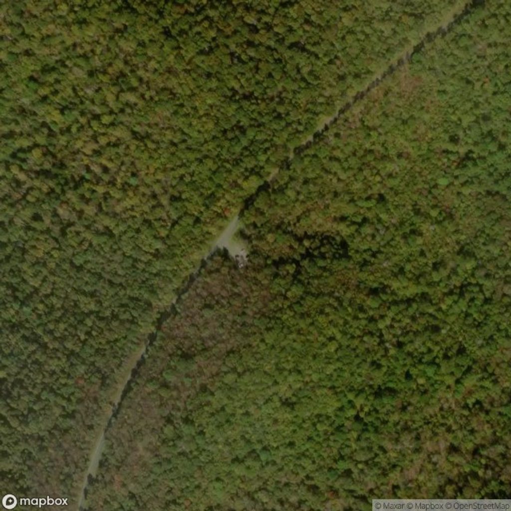
Moderate · 0 mi away
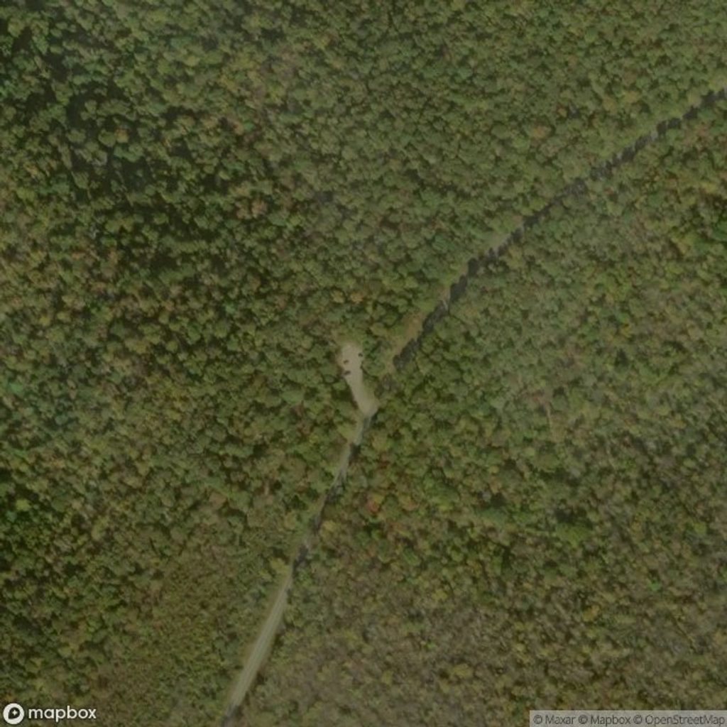
Moderate · 0.6 mi away
Moderate · 0.6 mi away

Parkwolf Tour Guide
