
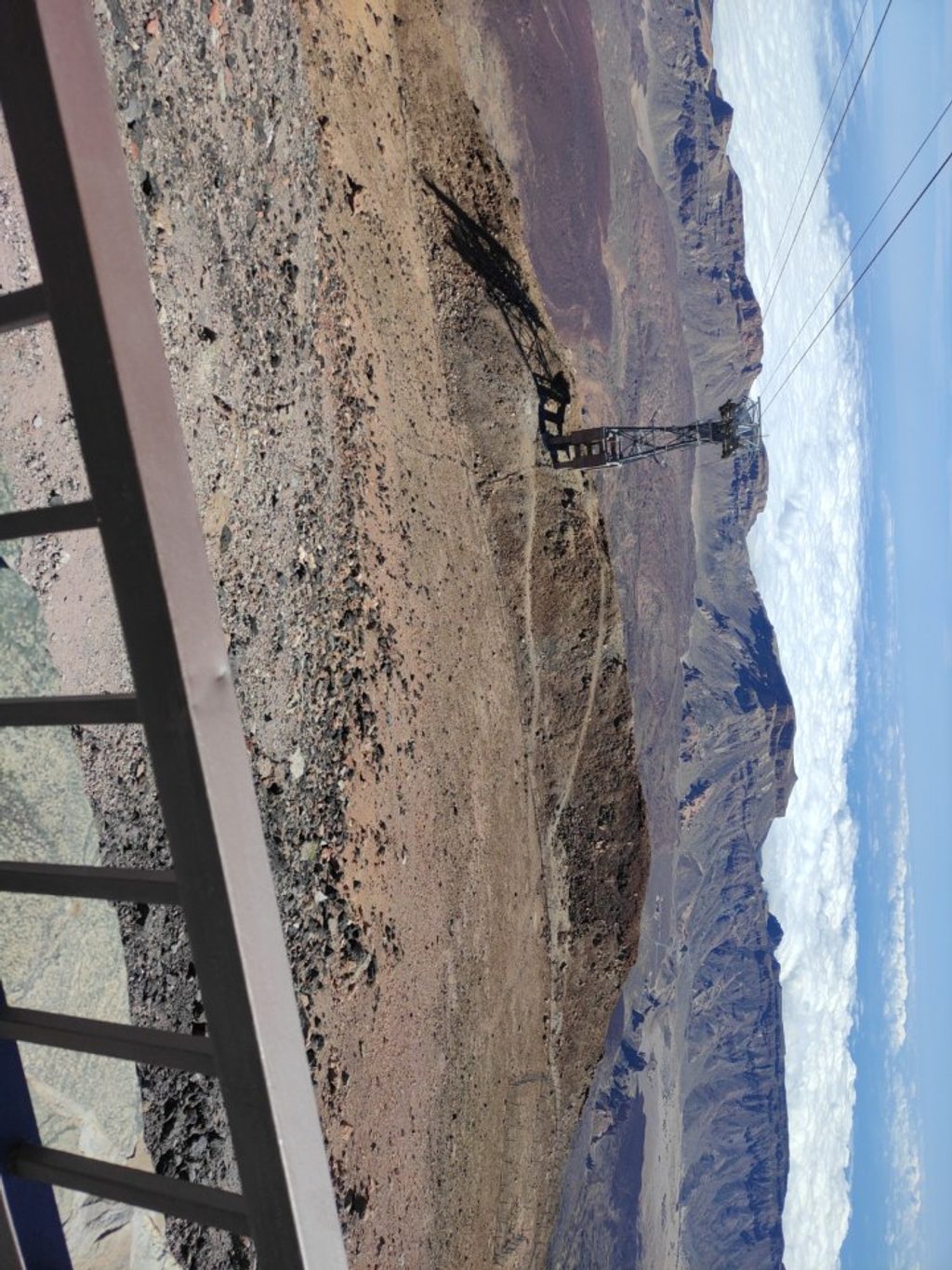
Place · 0 mi away
Easy
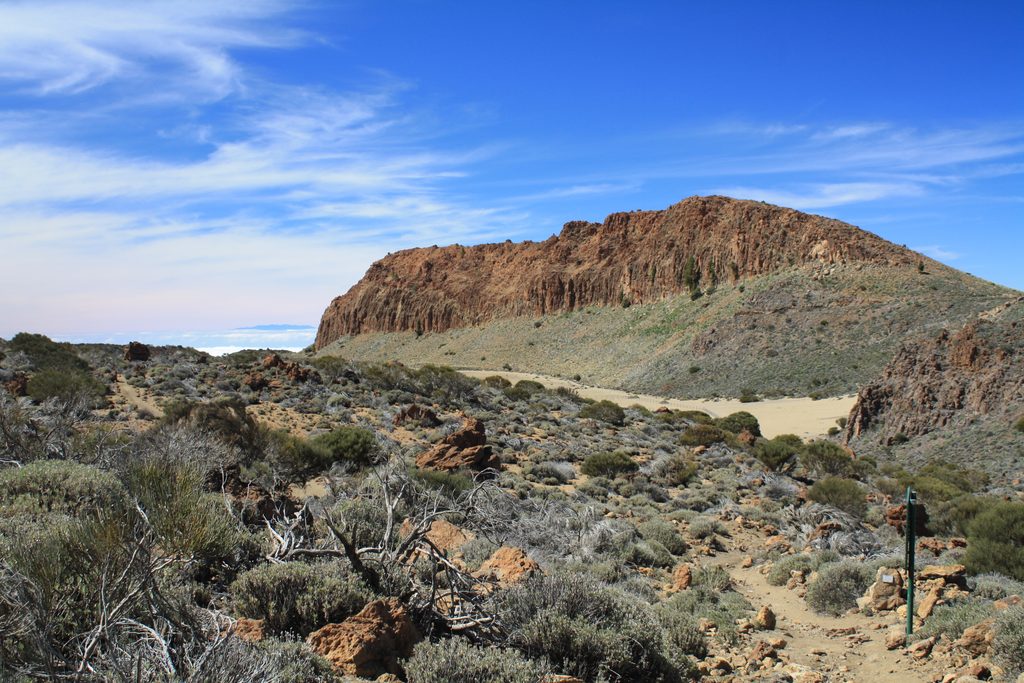
This is the high-reward, low-effort option at La Rambleta—the upper cable‑car station—leading to the La Fortaleza Lookout. It’s short, paved, and immediately scenic, with north‑facing panoramas over Tenerife and the red‑brown wall of La Fortaleza.
Plan on roughly 0.25 miles total, out‑and‑back, on a well‑paved path. The walking is easy, but you’re at around 11,600 feet, so even gentle grades can feel punchy. Expect about 25 minutes on trail, with roughly 120 feet of cumulative up and a similar amount down.
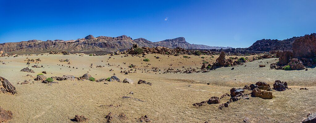
From the lookout, the La Fortaleza ridges dominate the horizon—old, resistant volcanic layers with striking reddish tones. Many days you’ll catch the trade‑wind inversion building a photogenic “sea of clouds” on the island’s north side.
Go early or late for softer light on the cliffs and fewer people drifting from the cable‑car station. Weather swings fast here: anything from dense fog or brief snow to intense, dry sun. Spring adds blooming broom and other high‑altitude shrubs across the park’s lava fields.
The path starts at La Rambleta, reached by the Teide cable car. No special authorization is required for this spur itself. Separate, new reservation rules apply to certain approaches in the park (for example, Montaña Blanca to La Rambleta), which can affect hikers who plan to reach La Rambleta on foot rather than by cable car. Summit access beyond La Rambleta is a different, permit‑only route and is not part of this trail.
Altitude, wind, and UV are the real factors—layer up, bring sun protection, water, and traction‑friendly footwear even for this short walk. Stay on the marked path and check the park’s day‑of advisories for weather or temporary closures. In an emergency, dial 112.
Access via the Teide cable car to La Rambleta; there is no trailhead parking at the top station.
Very high altitude and sudden weather shifts; strong UV and wind on an exposed paved path. Trail itself needs no permit, but new reservations affect some approaches to La Rambleta. For emergencies, call 112.
Place · 0 mi away
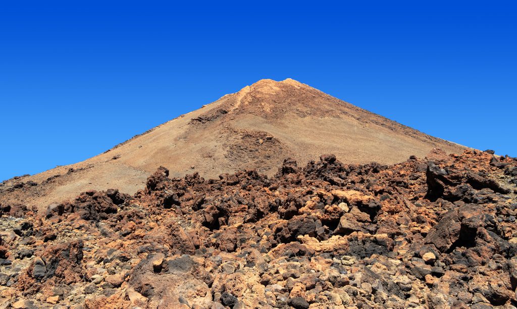
Place · 0.2 mi away
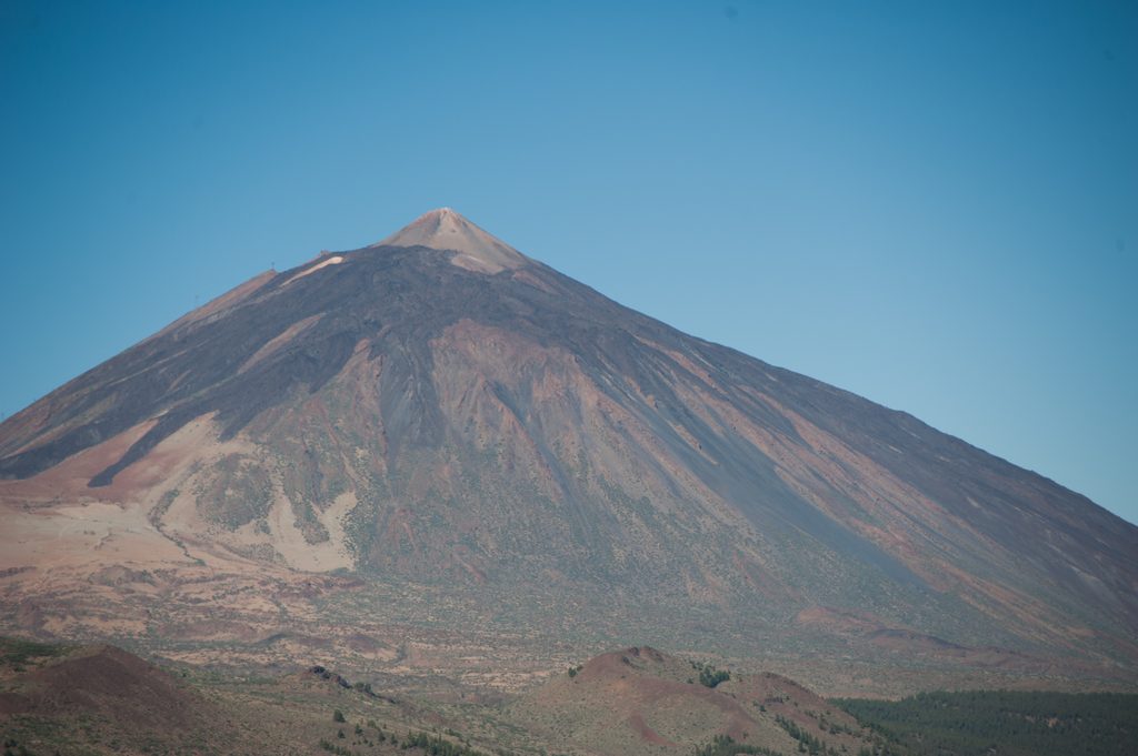
Place · 0.2 mi away
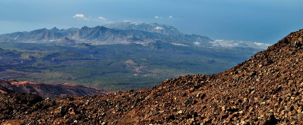
Place · 0.3 mi away
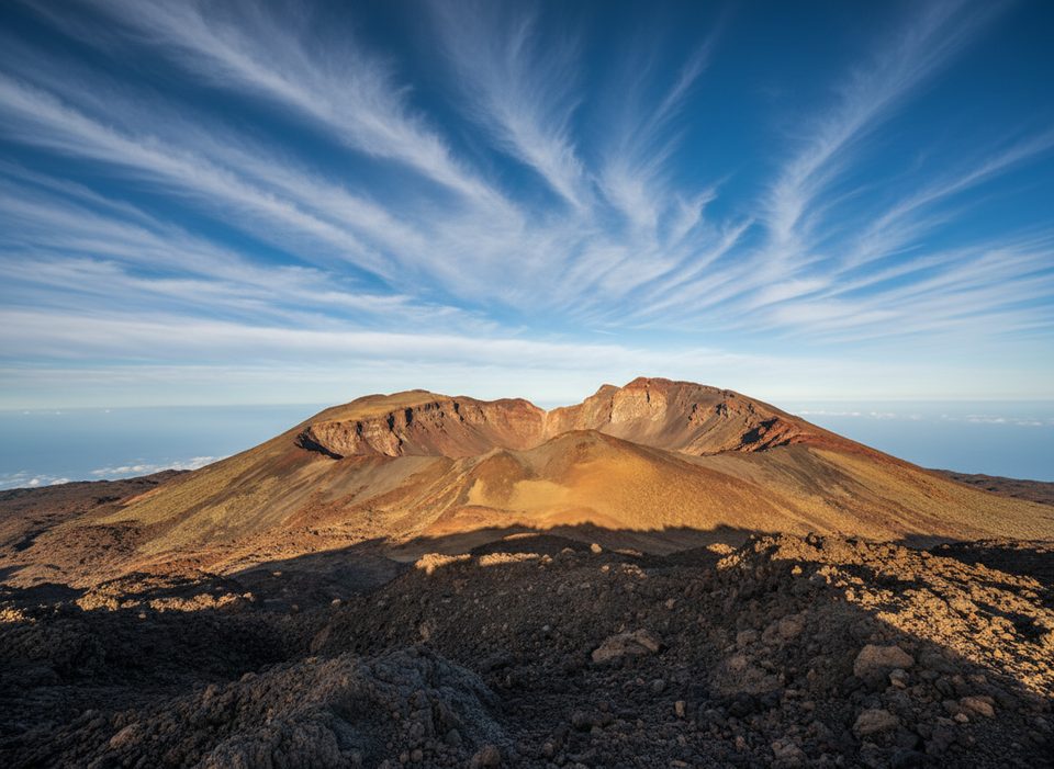
Easy · 0.3 mi away
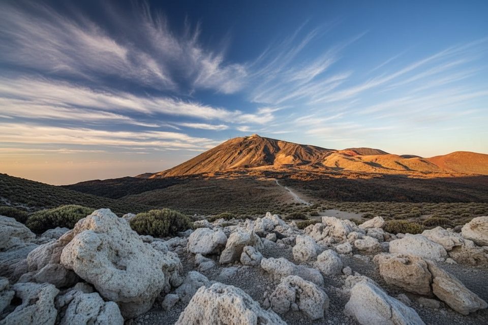
Challenging · 2.4 mi away
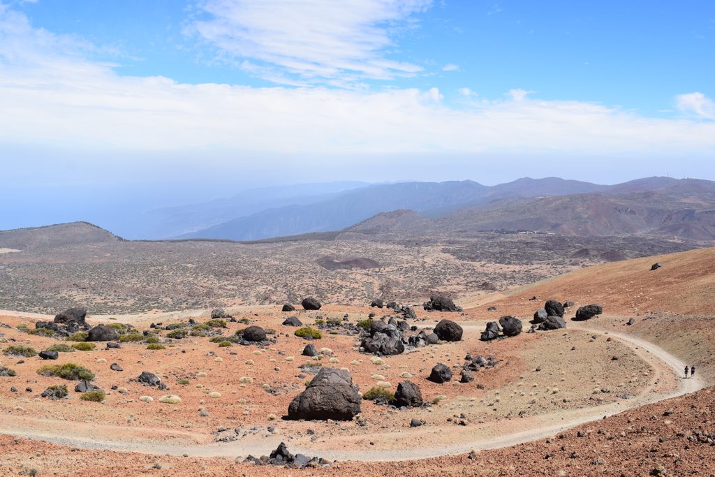
Moderate · 2.4 mi away
Challenging · 3.1 mi away

Parkwolf Tour Guide
