
Place · 0 mi away
Easy
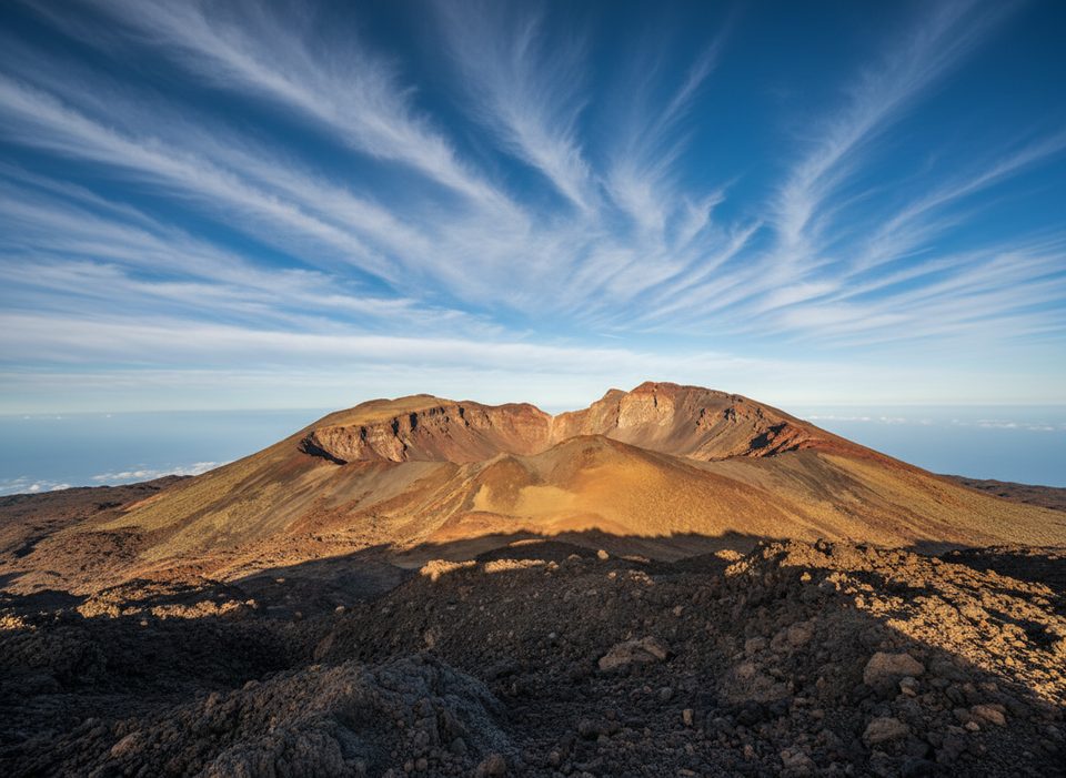
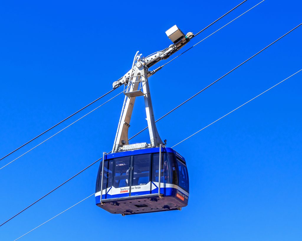
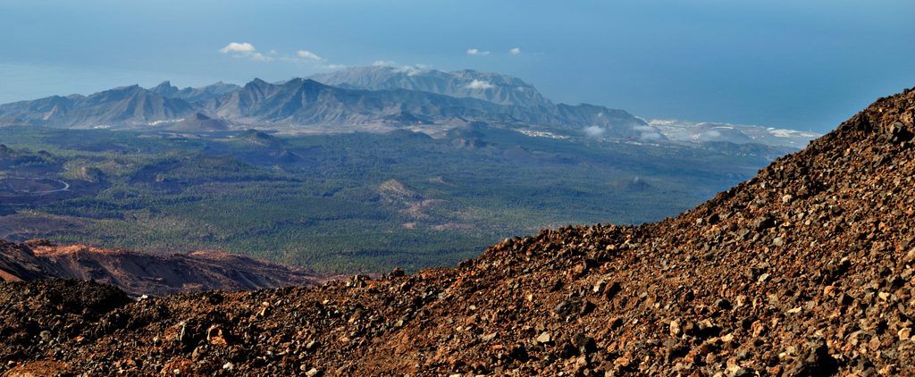
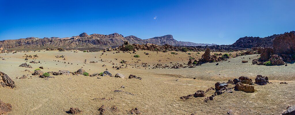
A short, high‑altitude out‑and‑back from La Rambleta to the Mirador de Pico Viejo. You’ll get outsized rewards: a front‑row look into Pico Viejo’s multicolored crater, sweeping caldera vistas, and—on clear days—silhouettes of La Gomera, La Palma, and El Hierro. The walk is only about 0.9 miles total, but altitude around 3,500 m makes it feel tougher than it reads.
From the upper cable‑car station at La Rambleta, follow signs for Sendero 12 toward the Mirador. The path starts arranged/paved in sections, then turns rough with sharp lava underfoot. You descend outbound and re‑ascend on the return. The viewpoint marks the end of the signed trail—turn around there and retrace your steps.
Rated low to moderate thanks to length and footing, but treat it with respect for the altitude. Most hikers take 30–60 minutes round trip with photo stops.
Aim for early morning or late afternoon for calmer winds, fewer people, and better light across the crater. Weather and wind can change quickly at this elevation—closures happen, and visibility can swing from crystal‑clear island views to socked‑in cloud.
No permit is required for Trail 12 itself. You do need to reach La Rambleta via the cable car (unless you’ve done a long climb on other routes). Note: summit access (Trail 10) requires a separate, limited permit, and since November 29, 2024, some other park trails need prior authorisation—Trail 12 is not on that list.
You’re well above 3,500 m. Pace yourself and watch for headache or lightheadedness; turn back if symptoms don’t improve. Wear sturdy footwear—lava is uneven and abrasive—pack layers, wind protection, sunscreen, water, and a snack. Obey all signs and temporary closures. In an emergency in Spain, dial 112.
Access is via the cable car to La Rambleta; arrange parking or drop‑off at the base station before riding up.
Very high altitude, sharp uneven lava, sulfur fumes near fumaroles, and frequent wind closures of the cable car. Outbound is downhill—save energy for the climb back.
Place · 0 mi away
Place · 0 mi away
Place · 0 mi away
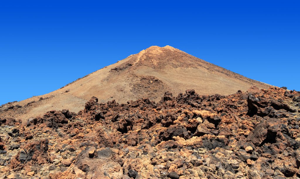
Place · 0.3 mi away
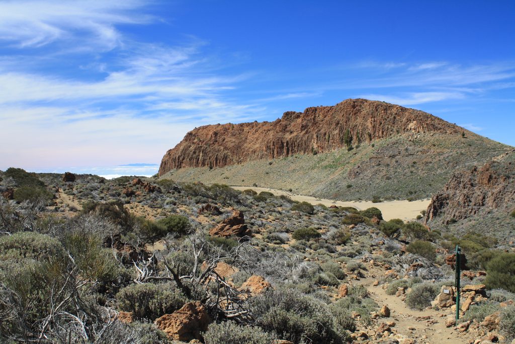
Easy · 0.3 mi away
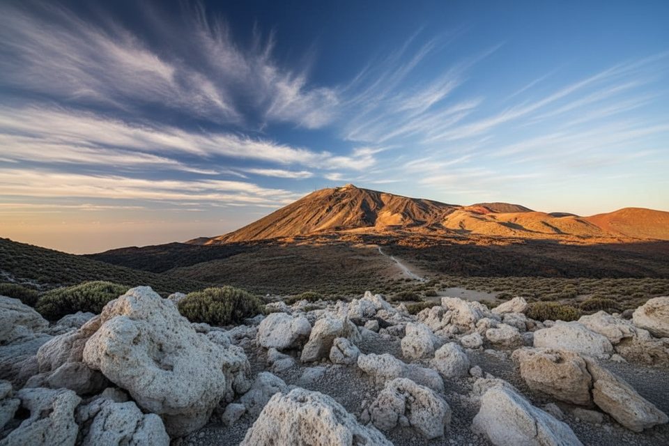
Challenging · 2.3 mi away
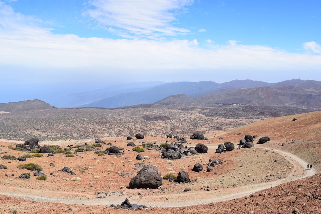
Moderate · 2.3 mi away
Challenging · 3.1 mi away

Parkwolf Tour Guide
