
Place · 0 mi away
Moderate
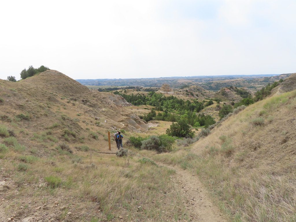
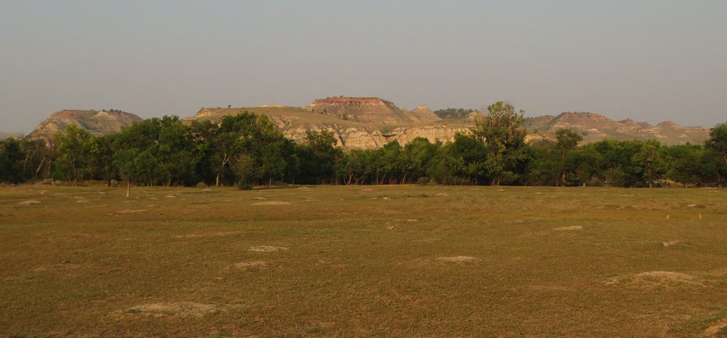
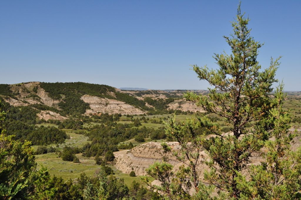
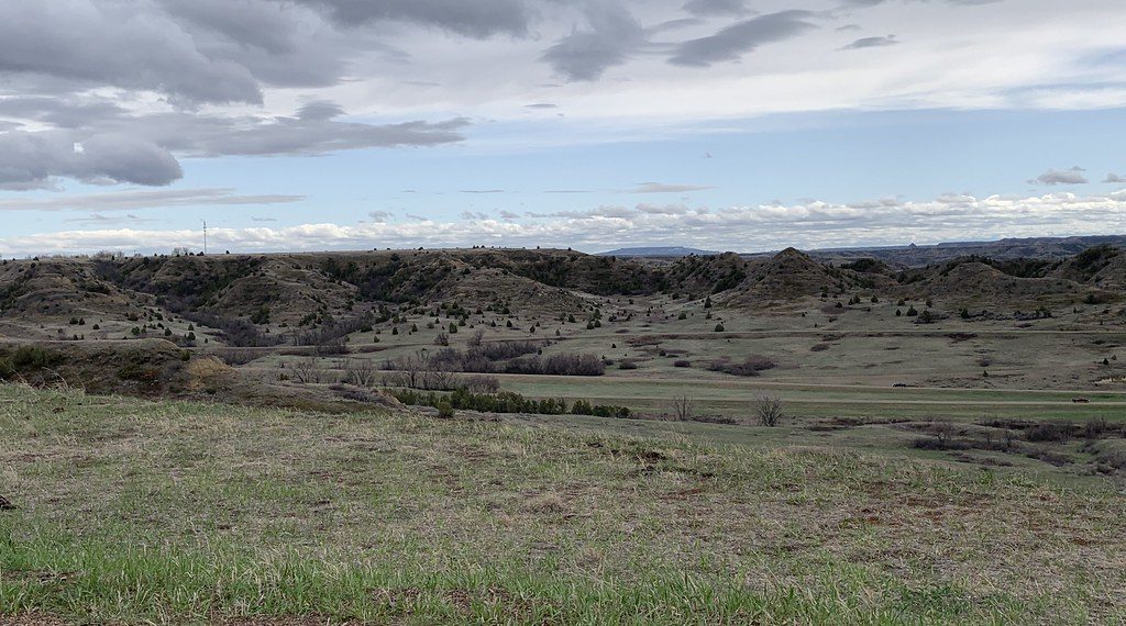
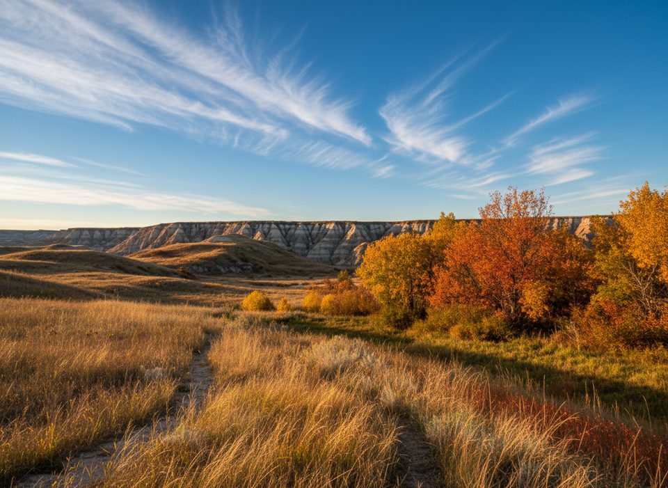
This 5.2-mile loop serves up classic South Unit scenery—colorful badlands, rolling prairie, and a broad, view-rich plateau—in a tidy 2–3 hours with about 565 feet of gain. It’s a true sampler: cottonwood bottomlands, prairie dog towns, and wide-open 360-degree vistas once you’re on Big Plateau. Expect wildlife sightings—bison and mule deer are common, coyotes and prairie dogs, too.
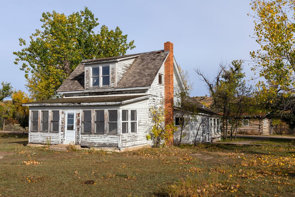
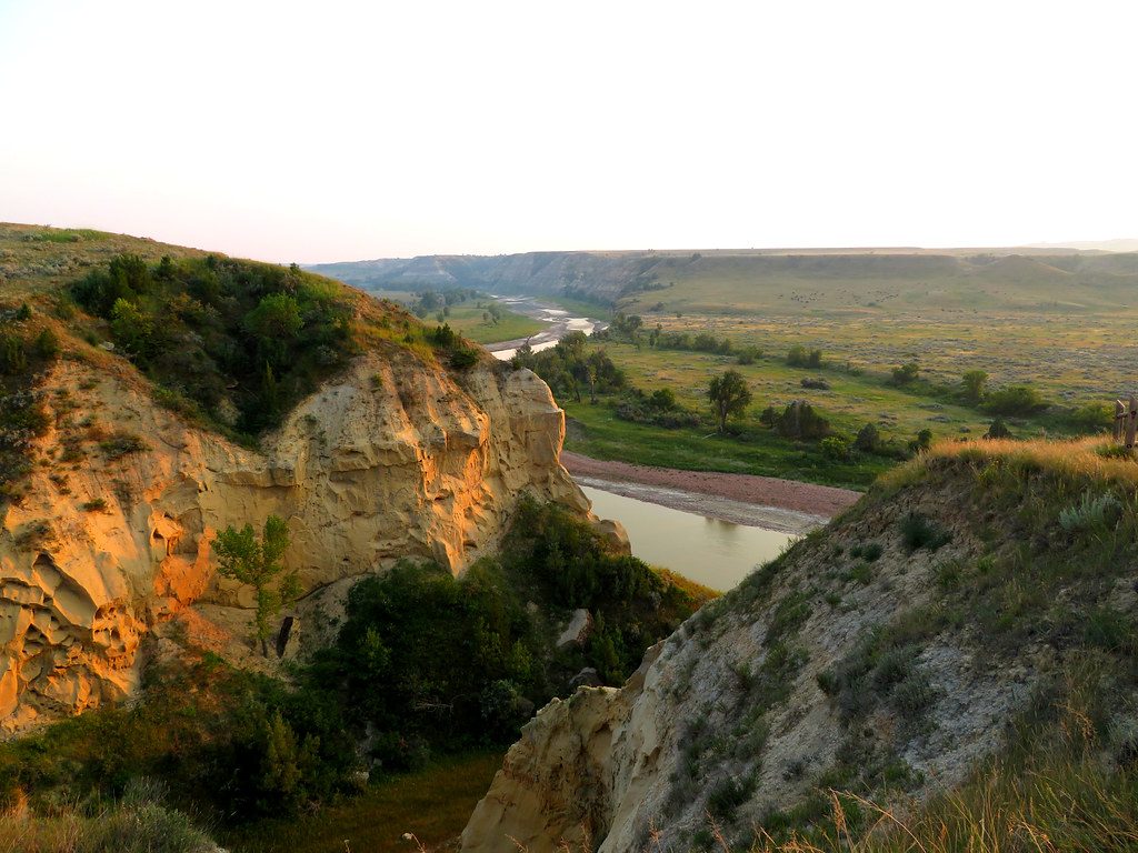
Start at Peaceful Valley Ranch and immediately cross the Little Missouri River; you’ll cross it again at the end. The loop links the Ekblom Trail, a short stretch of the Maah Daah Hey, and the Big Plateau Trail. Go clockwise for a gradual climb onto the plateau and a short, steep descent near the end. Go counterclockwise if you prefer to tackle the steep section early and descend more gently later.
Plan on two Little Missouri fords; sometimes there are stepping stones, other times you’ll wade—knee-deep and muddy isn’t unusual. After heavy rain or spring runoff, the river can be unsafe or impassable. There may also be an additional creek crossing depending on conditions. Footing varies from slick river rocks to clayey mud, so sturdy, waterproof footwear helps. Check conditions at the visitor center before you commit.
Once on Big Plateau you’ll get sweeping, 360-degree views of the badlands’ colorful layers and buttes. Down low, listen for the chatter of prairie dog towns and keep an eye out for mule deer. Bison often roam the plateau—give them space and be prepared to detour if they’re on the trail.
Carry 1–2 liters of water per person and strong sun protection; summer heat can be intense and thunderstorms build fast. Keep at least 25 yards from wildlife, watch for rattlesnakes in warm months, yield to horses, and pack out all trash. Pets and bicycles are not allowed on park trails.
Spring and fall offer milder temperatures and typically friendlier river levels. In summer, start early or late to dodge heat and storms; winter can be very cold with snow and ice. If the river is running too high to ford safely, consider other dry-loop day hikes recommended by the park instead.
Park at Peaceful Valley Ranch (small lot); from the South Unit Visitor Center drive 6.6 miles on East River Road and turn left to the ranch. The trailhead is in the lot.
Two Little Missouri River crossings that may require wading and can be impassable after storms; muddy, uneven footing; bison on trail; rattlesnakes in warm months; intense sun and fast-building thunderstorms. Check conditions with rangers before starting.
Place · 0 mi away
Place · 1.4 mi away
Place · 1.5 mi away
Place · 1.9 mi away
Challenging · 0 mi away
Easy · 2.1 mi away
Easy · 2.2 mi away
Moderate · 3.3 mi away

Parkwolf Tour Guide
