
Place · 12.4 mi away
Challenging
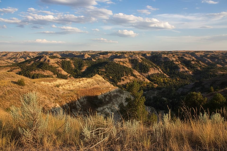
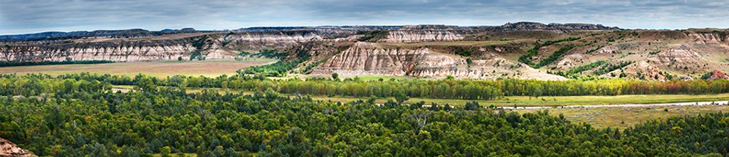
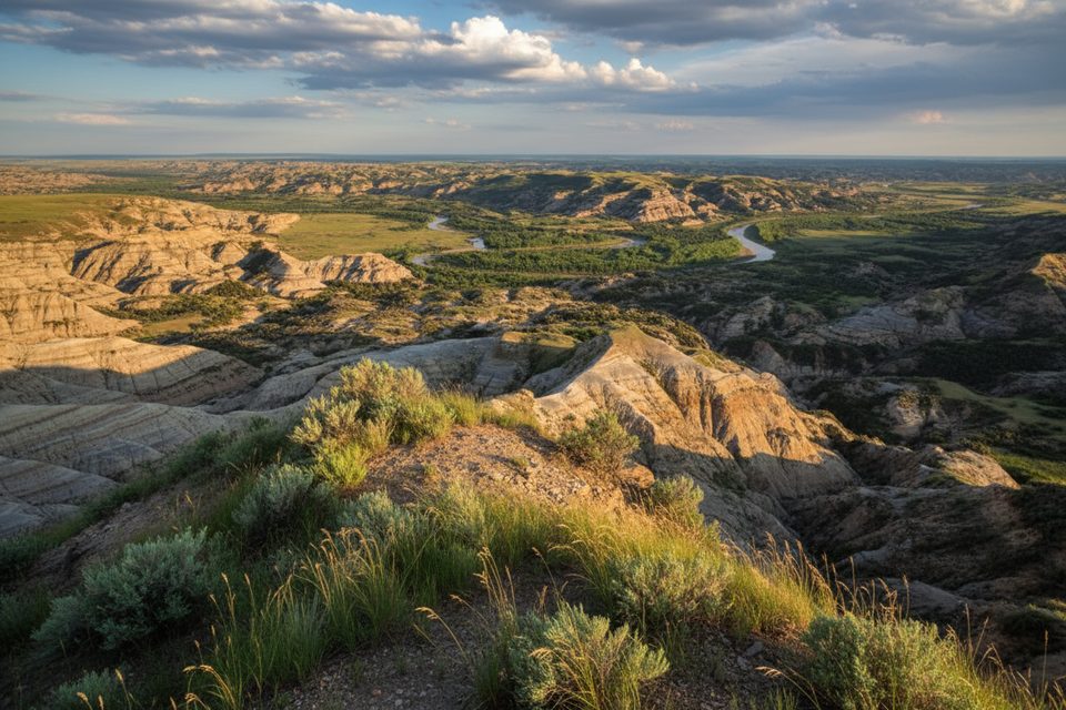
The Maah Daah Hey is the Badlands’ headline act: roughly 142–144 miles of non‑motorized singletrack threading buttes, prairies, and canyons across western North Dakota. It links all three units of Theodore Roosevelt National Park via the surrounding Little Missouri National Grassland and is designated an IMBA Epic. The full point‑to‑point is 142.3 miles (total), a challenging undertaking more for heat, exposure, water scarcity, and remoteness than technical riding or hiking difficulty.
Inside park boundaries, the Maah Daah Hey is for hikers and stock only—no bikes or pets on park trails. A popular in‑park taste is the South Unit segment (7.1 miles one way). Another standout that includes Maah Daah Hey mileage is the 10.3‑mile Petrified Forest Loop, which explores quiet, otherworldly badlands.
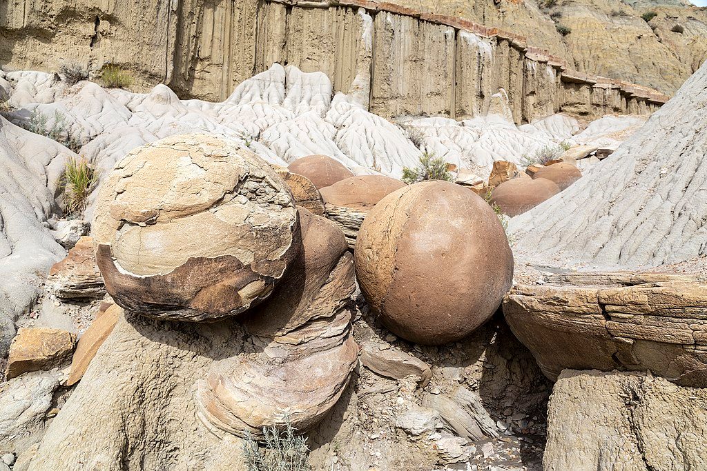
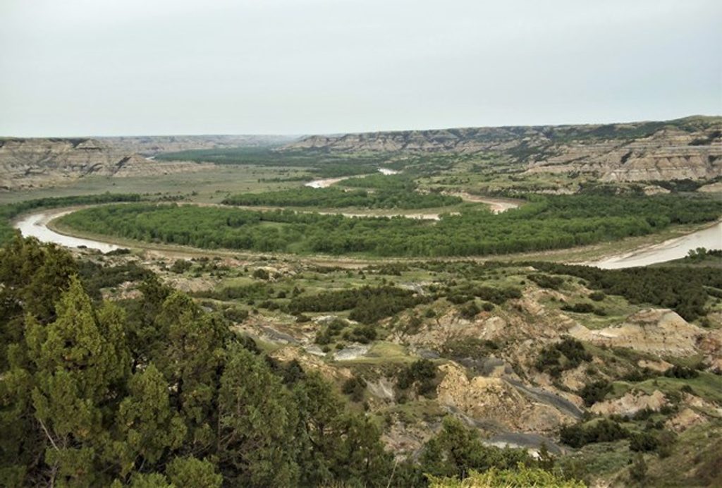
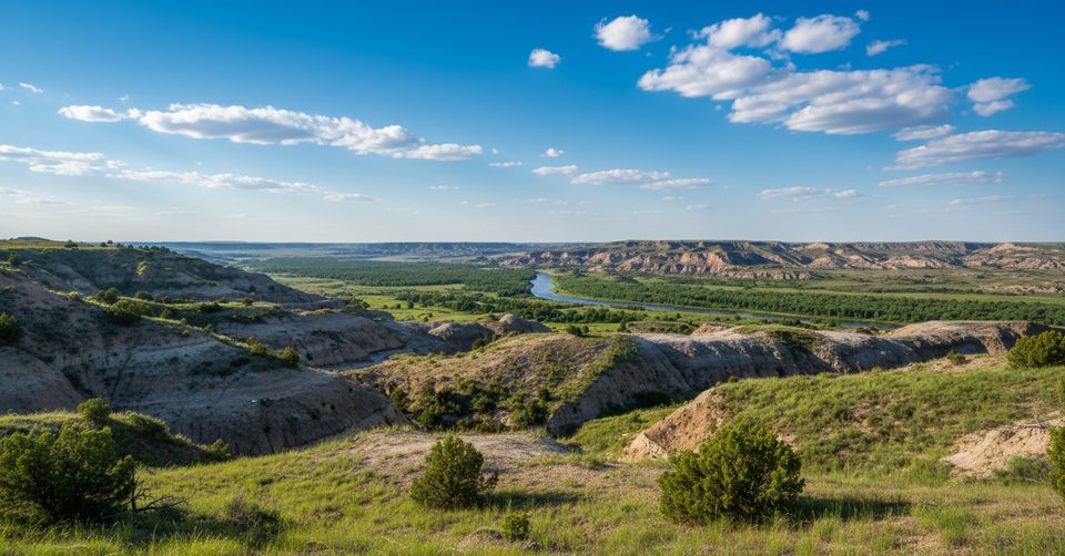
Expect classic Badlands: sculpted buttes, gullies carved by wind and water, and broad grasslands with huge sky. Keep an eye out for prairie dog towns, sagebrush benches, and deep canyons that open onto high prairies. Wildlife can include bison, wild horses, elk, and whitetail deer. Parts of the route pass near ancient petrified forest areas—remote, eerie, and worth the miles if you like geology.
The trail connects the park’s three units, but rules change at the boundary. In the park, bikes and pets are prohibited on all trails; hikers yield to horseback riders. Outside the park, hiking, mountain biking, and horseback riding are the norm, and leashed dogs are allowed. Cyclists and dog owners commonly use bike‑legal bypasses (for example, routing around the South Unit) to keep a continuous journey without entering park trails.
There are 14 official access points along the system, with established camps spaced roughly every 20 miles on the main route. Many provide amenities such as potable water, hitching rails, picnic tables, fire rings, and accessible toilets—verify current water status before you go. Southern staging often happens at Sully Creek State Park near Medora; the north end anchors at the CCC Campground south of Watford City.
This trail is notorious for “gumbo” mud: when it’s wet, the clay turns slick and sticky, making travel miserable or impossible. Shade is scarce, summer heat can hit triple digits, and water sources are limited. Expect constant short climbs and descents that add up over distance. Navigation is generally marked but can feel sparse in places; carry a map or GPS. River fords (like the Little Missouri) may be necessary—turn back if flows are unsafe.
April–June and late August–October bring more manageable temperatures and typically better footing. Spring and early summer can mean ticks; midsummer heat and sun exposure are punishing. After rains, give the tread time to dry—it recovers quickly once precipitation stops, but trying to push through gumbo is a trip‑ender. Weekdays see fewer users, and golden hours paint the buttes beautifully for photos.
Multiple trailheads; common staging at Sully Creek State Park (fee) near Medora and at CCC Campground south of Watford City. Choose access based on your segment and shuttle plan.
Avoid the trail when wet—gumbo mud is hazardous and bike‑stopping. Expect long, exposed stretches with limited water, occasional river fords, and spotty signage; carry map/GPS. No bikes or pets on park trails.
Place · 12.4 mi away
Place · 19.1 mi away
Place · 19.2 mi away
Place · 19.3 mi away
Easy · 12.4 mi away
Easy · 19.7 mi away
Challenging · 19.7 mi away
Moderate · 19.7 mi away

Parkwolf Tour Guide
