Challenging

Achenbach Trail

Remote badlands loop with two river fords and big-butte vistas
Achenbach Trail, Theodore Roosevelt National Park
Distance18 mi
Typical time11 hr
DifficultyChallenging
PetsNot allowed

Overview

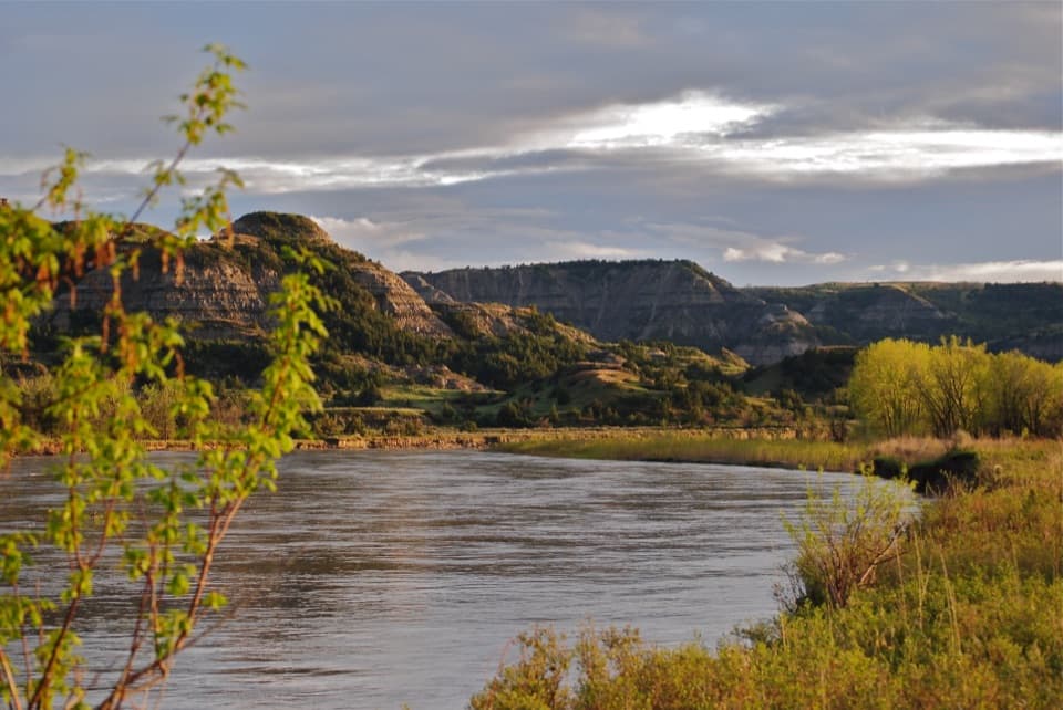
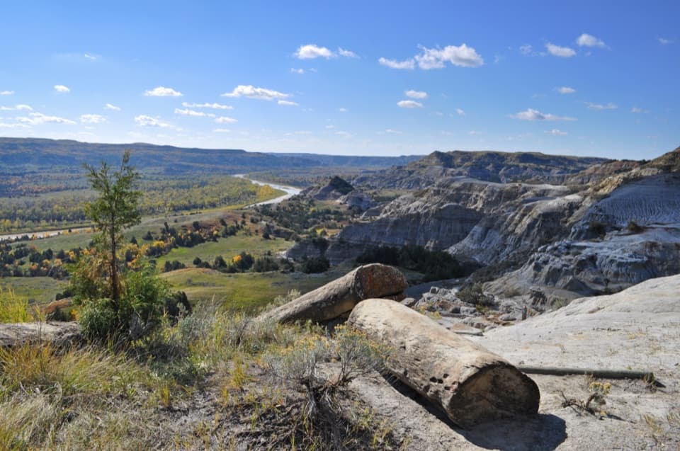
This is the North Unit’s big wilderness outing: roughly 18 miles total, with steep climbs and descents, two fords of the Little Missouri River, and long stretches of quiet badlands. It’s strenuous and committing—most hikers treat it as a full-day push or a 1–2 night backpack. Expect solitude, grand views from the bluffs, and a real sense of being out there.

Route and Trailheads

Common starts are Juniper Campground or the end-of-the-road Oxbow Overlook. The route loops a large portion of the unit’s west side and spends much of its time in designated wilderness. In places it interweaves with other area routes, and there are shorter samplers (like the easy out-and-back to Sperati Point from Oxbow Overlook) if you want a taste before committing. Some popular shorter variants in this area may not be perfect loops and can require about 2 miles of road walking or a two-car shuttle.

Conditions and Navigation

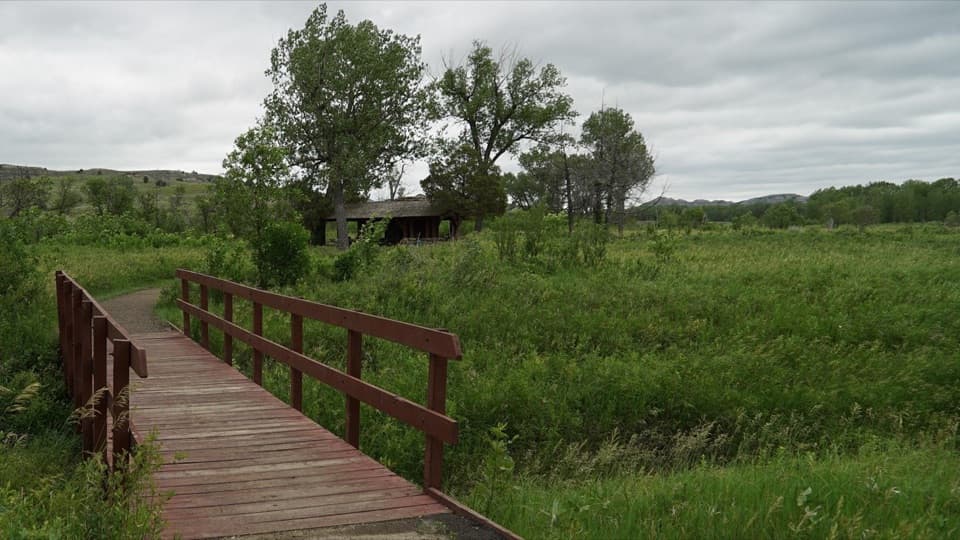
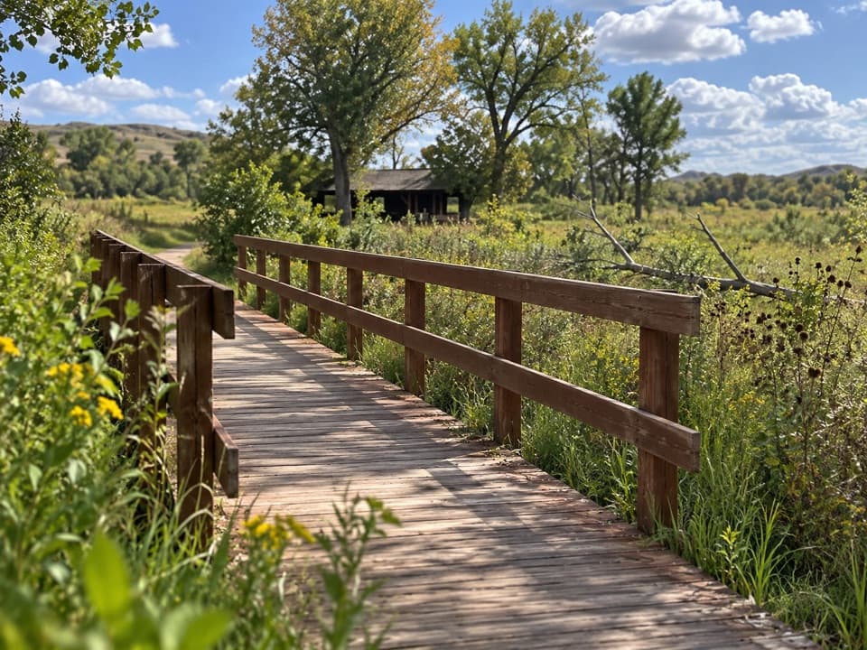
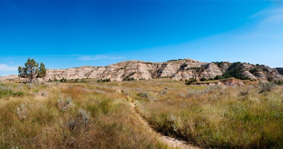
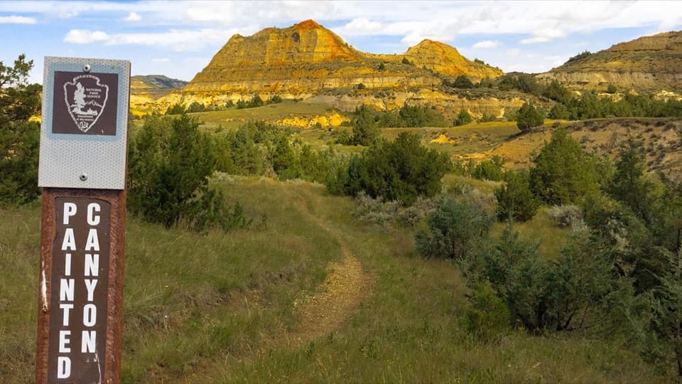
This is only intermittently marked. Don’t expect a crisp tread—bison paths often look more inviting than the human route. Download an offline map and keep your head up for turns, especially near the river and on the south side where the way can fade. Under wet conditions, the trail can turn into a slog, and slick bentonite clay makes footing treacherous.

Water and River Crossings

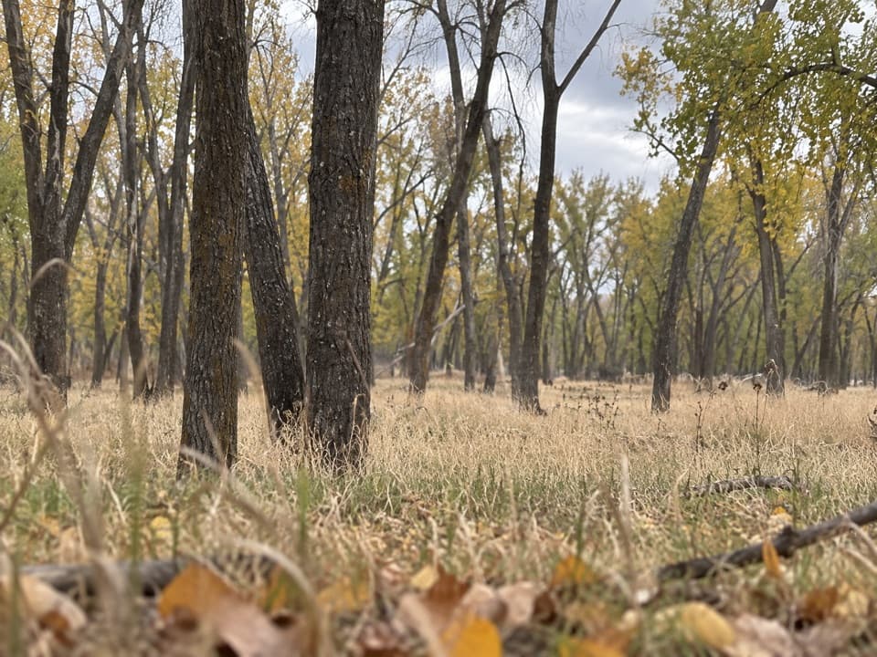
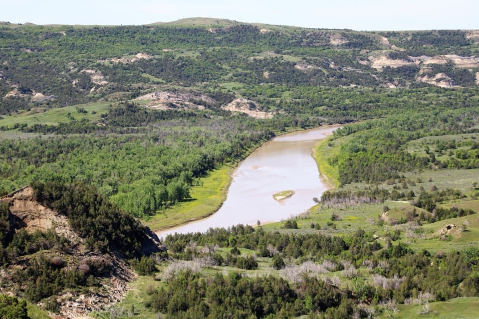
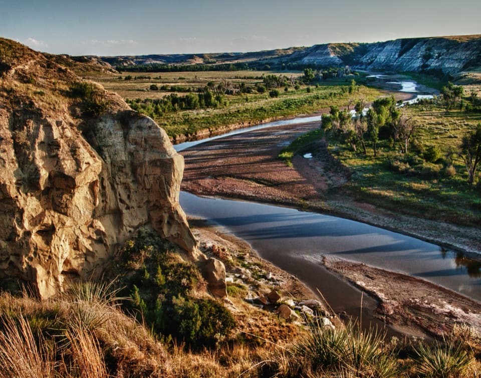
You’ll ford the Little Missouri twice. Depth and speed change with season and recent weather—late summer usually means lower, warmer, easier fords. The river is silty enough to overwhelm most backpacking filters; plan to carry the water you need rather than relying on filtering. Crossing early (daybreak) is often smartest for cooler temps and calmer conditions. Trekking poles and a dedicated pair of sandals or shoes make the fords safer and faster.

Wildlife and Scenery

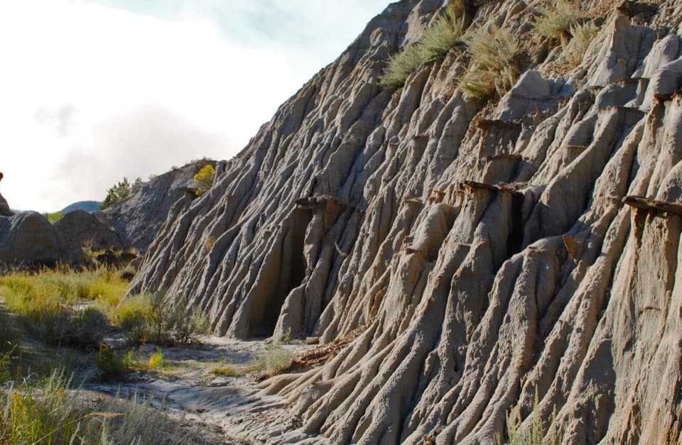
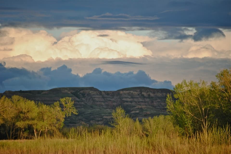
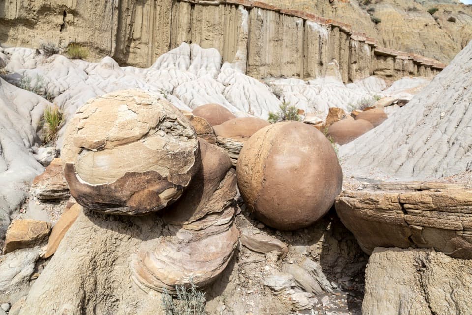
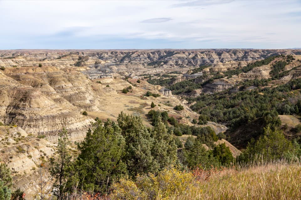
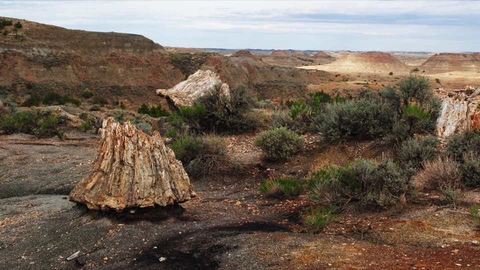
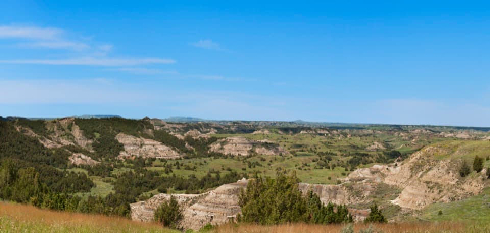
This is prime North Unit country: layered badlands, soft clays and siltstones, and red “clinker” capping some buttes. You’re likely to see bison (often right on the path) and may spot bighorn sheep, deer, and plenty of birdlife. Give wildlife space and be ready to detour—these are their trails more than yours.

Best Time to Hike

Spring and fall offer milder temperatures and lovely light, but expect more mud (and potentially higher, colder water). Summer brings heat and intense sun exposure, yet fords are typically easiest then. Start early any time of year to beat heat and enjoy golden light on the buttes; avoid the route after heavy rain when clay turns to grease. Bug pressure (ticks, gnats) rises with warmth and damp grass—long pants and repellent pay off.

Regulations and Logistics

Backcountry camping is allowed with a free permit. No pets on trails or in the backcountry. Pack out all waste and practice proper cathole etiquette. This is a serious, rewarding route for well-prepared hikers—if you want the scenery without the commitment, the Sperati Point stroll is a great fallback.

Pros

  • Deep wilderness feel with long, uninterrupted solitude
  • Spectacular bluff-top vistas far from roadside overlooks

Cons

  • River’s high sediment makes filtering unreliable—carry your water
  • Route often follows bison paths, making navigation tricky
  • Seasonal mud and slick bentonite can stall progress after rain

Parking

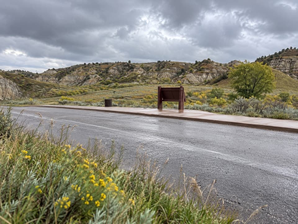
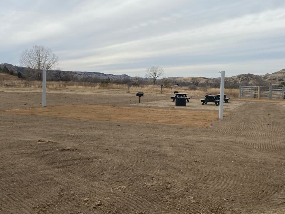
Park at Juniper Campground or Caprock Coulee Trailhead; for the short Sperati Point sampler, park at Oxbow Overlook.

Caution

Two variable river fords; high sediment water; extreme heat and full sun exposure; ticks/gnats in tall grass; slick bentonite when wet; bison frequently on the trail; limited signage—carry offline maps.

The Parkwolf tour guide sitting on a phone mounted in a car

Parkwolf Tour Guide

Like a tour guide in your car.

Bring Theodore Roosevelt trail research into the car, with offline maps and stories that play as you drive.Download Parkwolf on the App Store