Parking
Start at the Caprock Coulee Trailhead parking area on Scenic Loop Drive; finish at Oxbow Overlook. Arrange a pickup or use two vehicles, since walking back makes the route about 11 miles.
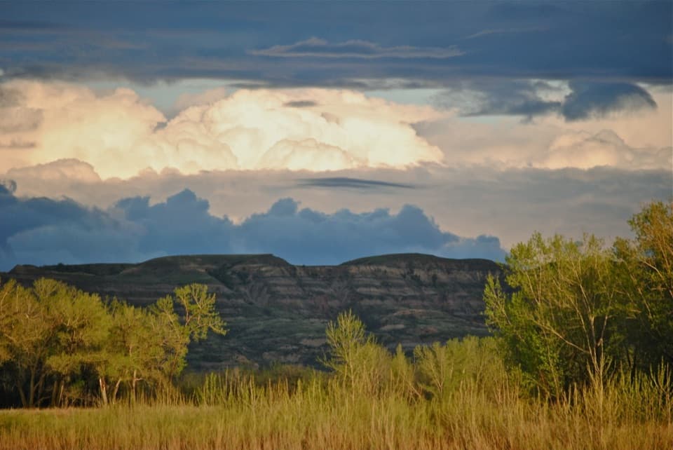
Theodore Roosevelt National Park, ND
A one-way badlands crossing to Oxbow's river overlook.
Overview
Map & elevation
Plan your hike

The highest, rockiest slopes around here are a summer buffet for grizzly bears.
Theodore Roosevelt Tour Guide
Parkwolf is a GPS audio tour guide for Theodore Roosevelt National Park. As you drive, it chimes in with what’s ahead: hidden gems, upcoming stops, history, geology, and wildlife, right through your car’s speakers.
See the Theodore Roosevelt audio tourRecorded for this trailhead
Caprock Coulee: Valley or Ridge Walk“You're nearing Caprock Coulee trailhead, where a wooded valley leads onto ridges above the Little Missouri. The full loop is about four miles and takes two to three hours, with steep climbs and narrow, exposed ridges.”
Plays as you drive up to this trailhead in the Parkwolf Theodore Roosevelt Tour Guide.
More stories near here in the app
“Fantastic app with many points of information… It’s great to just turn on while you’re driving and it gives you an audio tour of the national Park. We love it!!!!”


Trail guide
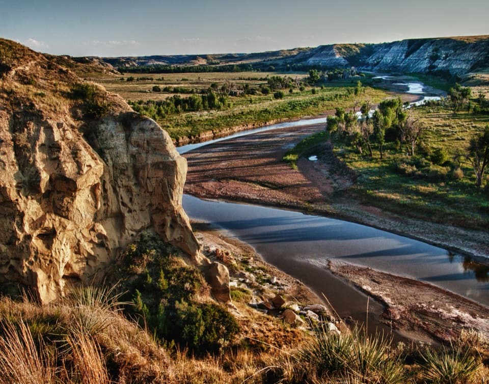
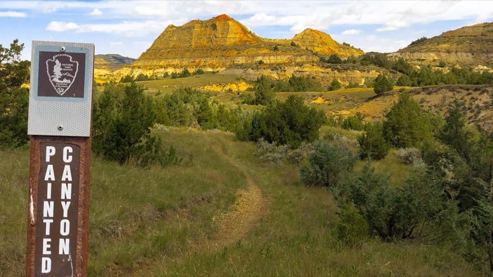
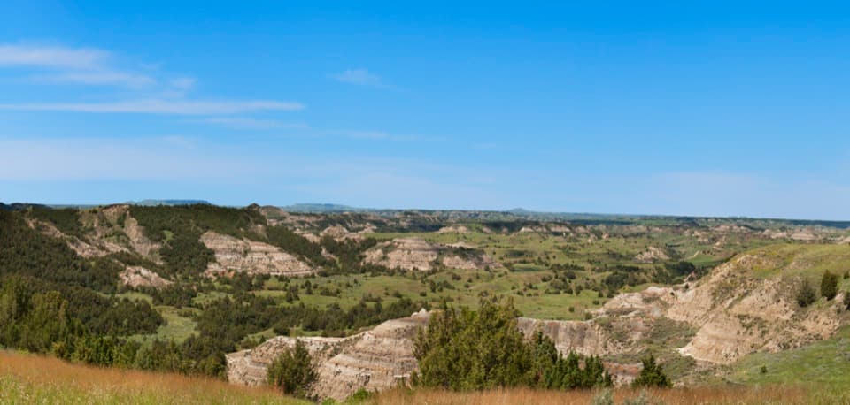
North Achenbach is a 5.5-mile, one-way backcountry walk from the eastern access near Caprock Coulee to Oxbow Overlook. It leaves Scenic Loop Drive for open prairie and banded badlands, then follows the Little Missouri river country to the overlook. Plan about four to five hours. Choose it when you can arrange a pickup and want a remote crossing; it is too much route and shuttle planning for a quick stop.
Start at the Caprock Coulee Trailhead parking area on Scenic Loop Drive and finish at Oxbow Overlook. This is a point-to-point hike, not a loop, so arrange a pickup at the other end or bring a second vehicle. Walking back makes it about 11 miles. A published figure for the walk to Oxbow is 4.6 miles; the full connected trail from the eastern access adds about 0.9 mile, for roughly 5.5 miles one way.
Expect steep climbs into and out of the Little Missouri valley on a natural-surface trail. The mapped route rises and falls through open badlands rather than saving all the effort for one summit; expect about 940 feet of total climbing across the route. Oxbow Overlook is the finish and the payoff: the river's bends open out below you.
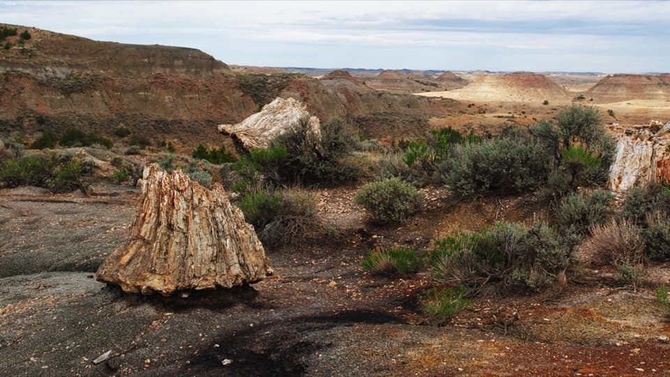
The pale blue-gray bands are bentonite clay; darker lignite coal and sandstone mark other layers in the North Unit's badlands. Look for pale clay and darker coal bands among the sandstone layers on the buttes.
There are no approved drinking-water sources in the backcountry, so carry all the water you need. Pets are prohibited there. A free backcountry permit is needed for overnight camping, not for a day hike.
Wildlife
 1,082 sightingsBisonMost seen around 6 PMSighting map
 346 sightingsWild HorseMost seen around 7 PMSighting map
 27 sightingsWapitiMost seen around 7 AMSighting map
 46 sightingsBighorn SheepMost seen around 7 AMSighting map
 87 sightingsPronghornMost seen around 6 PMSighting map
 162 sightingsMule DeerMost seen around 8 PMSighting map
Sighting maps show where each species has been reported across Theodore Roosevelt. Wildlife moves, so no sighting is guaranteed.
Keep exploring
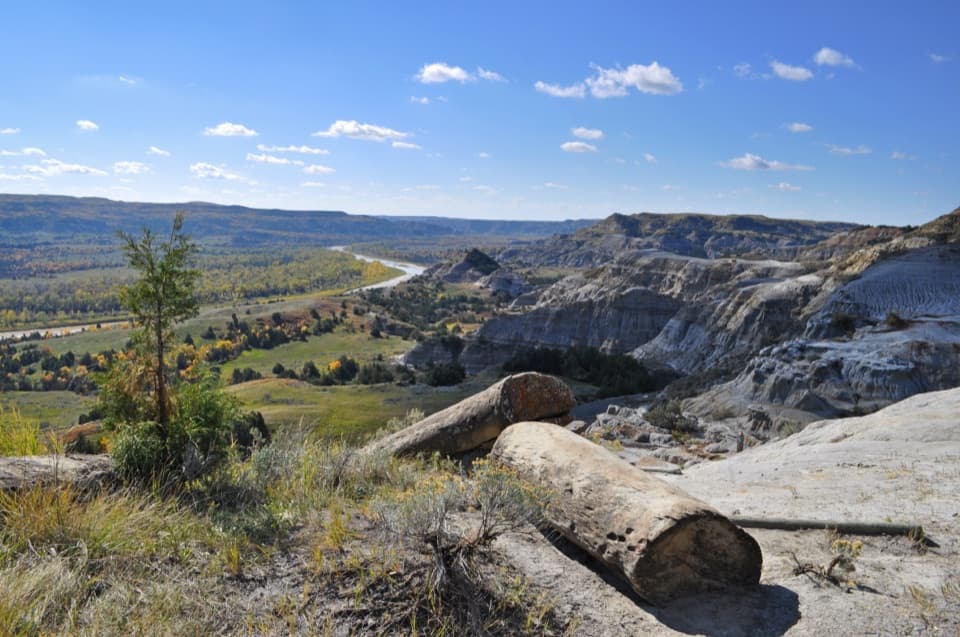 ModerateCaprock Coulee Trail4.3 mi · 2.5 hr · At the trailheadA wooded coulee climbs to a narrow ridge over the Little Missouri.
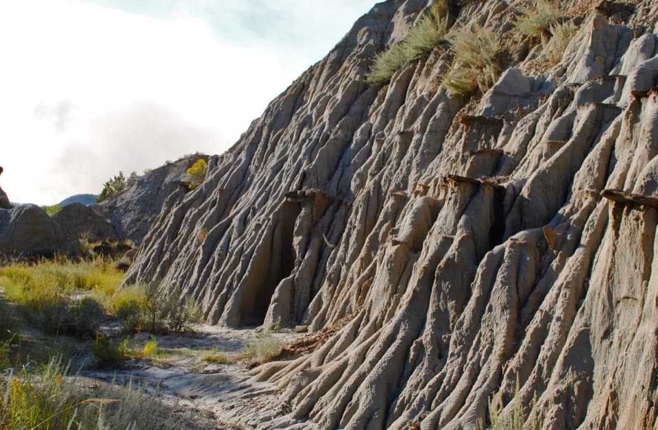 EasyCaprock Coulee Nature Trail1.6 mi · 1.3 hr · At the trailheadA short badlands walk where water has drawn the walls into folds.EasyPrairie Dog Town via the Buckhorn Trail1.5 mi · 1 hr · At the trailheadA short Buckhorn walk to a prairie dog town.
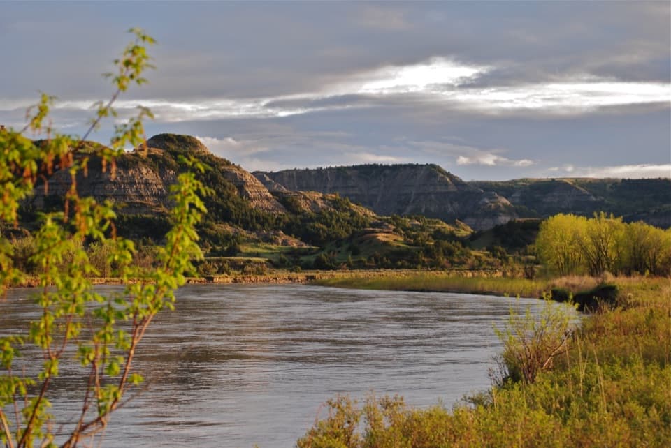 ChallengingAchenbach Trail18 mi · 11 hr · 1.4 mi awayA full-day loop with two Little Missouri crossings.
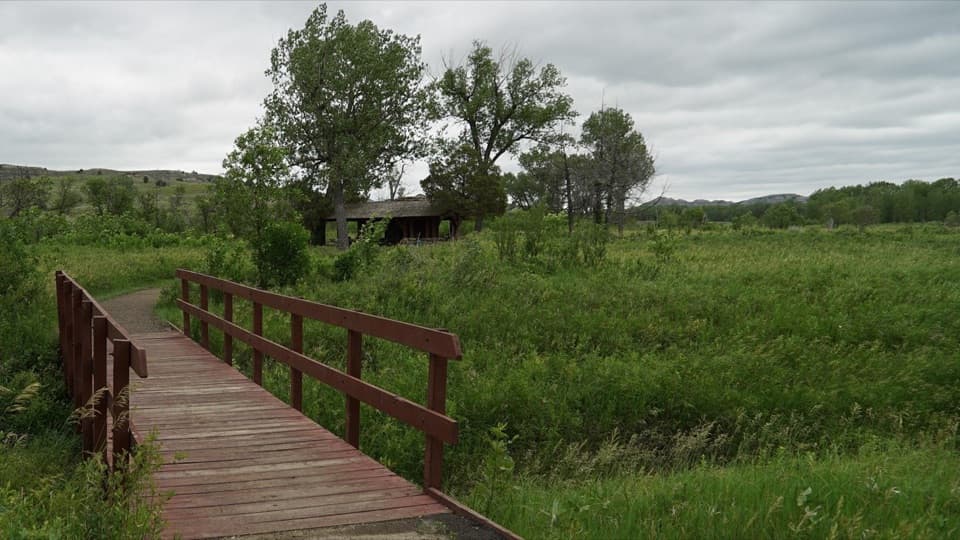 EasyLittle Mo Trail — Paved Inner Loop0.7 mi · 36 min · 1.5 mi awayA short paved loop beneath the cottonwoods, with a creek footbridge.
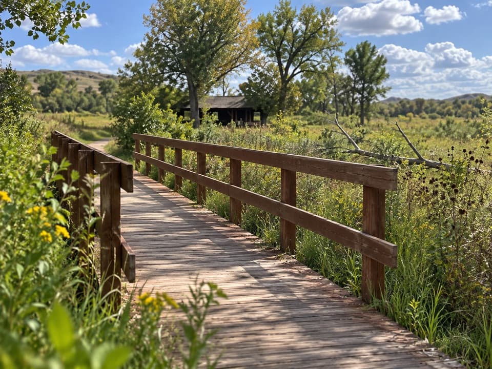 EasyLittle Mo Trail — Unpaved Outer Loop1.1 mi · 38 min · 1.5 mi awayThe unpaved 1.1-mile loop pairs river-bottom woods with open badlands.
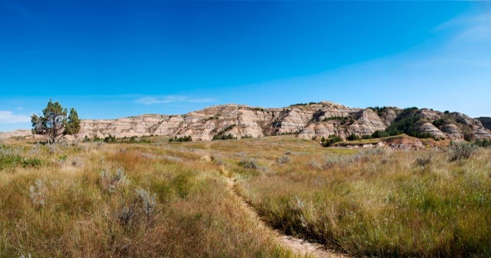 ChallengingBuckhorn Trail11.4 mi · 7 hr · 3.6 mi awayA full-day loop through prairie dog towns and difficult open prairie.ModerateSperati Point via the Achenbach Trail2.1 mi · 1 hr · 4 mi awayOpen prairie leads to a close view over the Little Missouri.
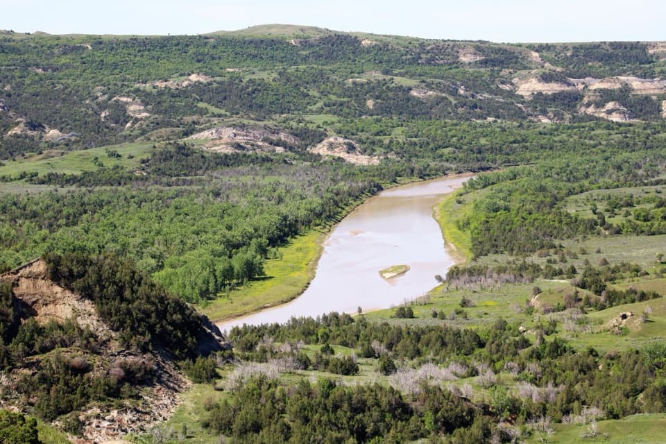 Sight · 1 mi awayRiver Bend OverlookA CCC stone shelter frames the Little Missouri River's bend.
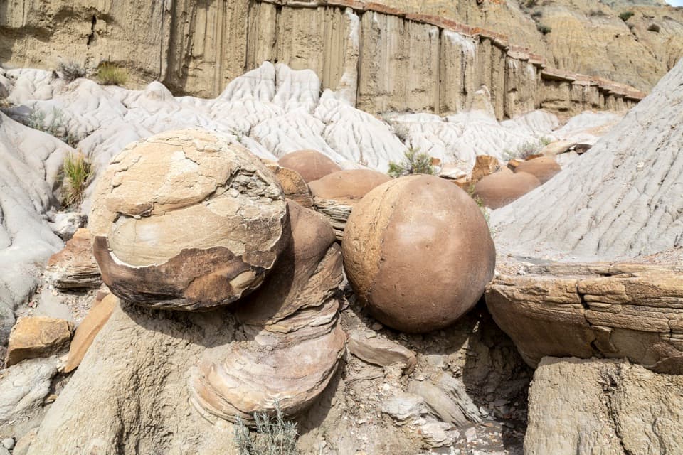 Sight · 1.4 mi awayCannonball ConcretionsSpheres reach about five feet across, just off the scenic drive.
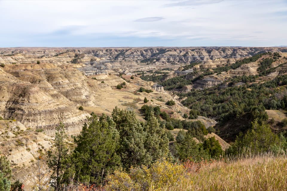 Sight · 1.5 mi awayBentonitic Clay OverlookA quick stop for the badlands' blue-gray and yellow layers.
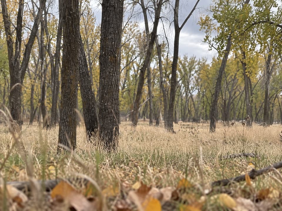 Campground · 1.5 mi awayJuniper CampgroundThe North Unit's only campground, where bison may wander through.
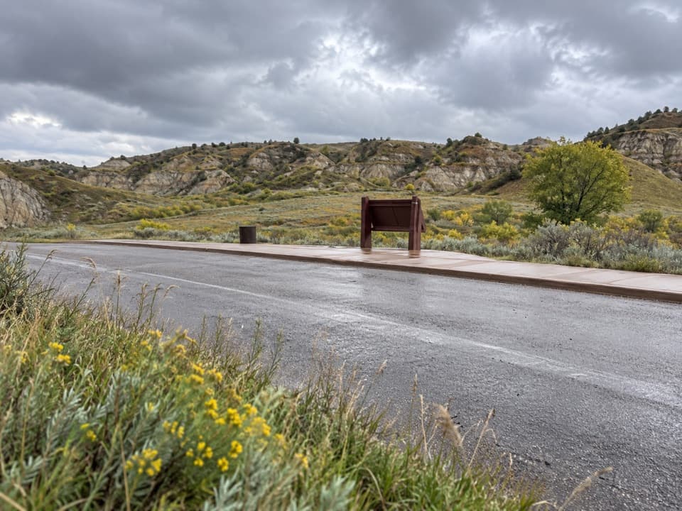 Scenic pullout · 2.8 mi awaySlump Block PulloutA quick geology stop in bighorn sheep country.
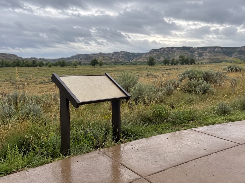 Scenic pullout · 3.3 mi awayLonghorn Steer PulloutA good roadside pause for the longhorn story, not a sure sighting.
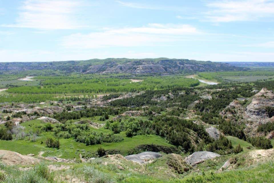 Sight · 4 mi awayOxbow OverlookFollow the short paved path for the Little Missouri’s big bend.
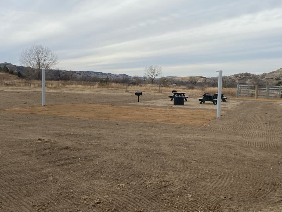 Campground · 4.1 mi awayCCC CampgroundA trailhead campground just across the river from the North Unit.
Parkwolf’s Theodore Roosevelt ranking

The audio tour guide for the drive, plus offline maps, trails, and wildlife heatmaps for when the signal drops.