
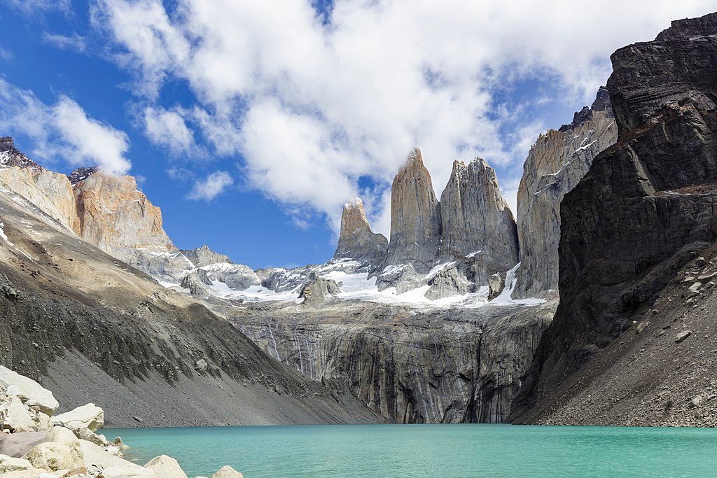
Place · 1.8 mi away
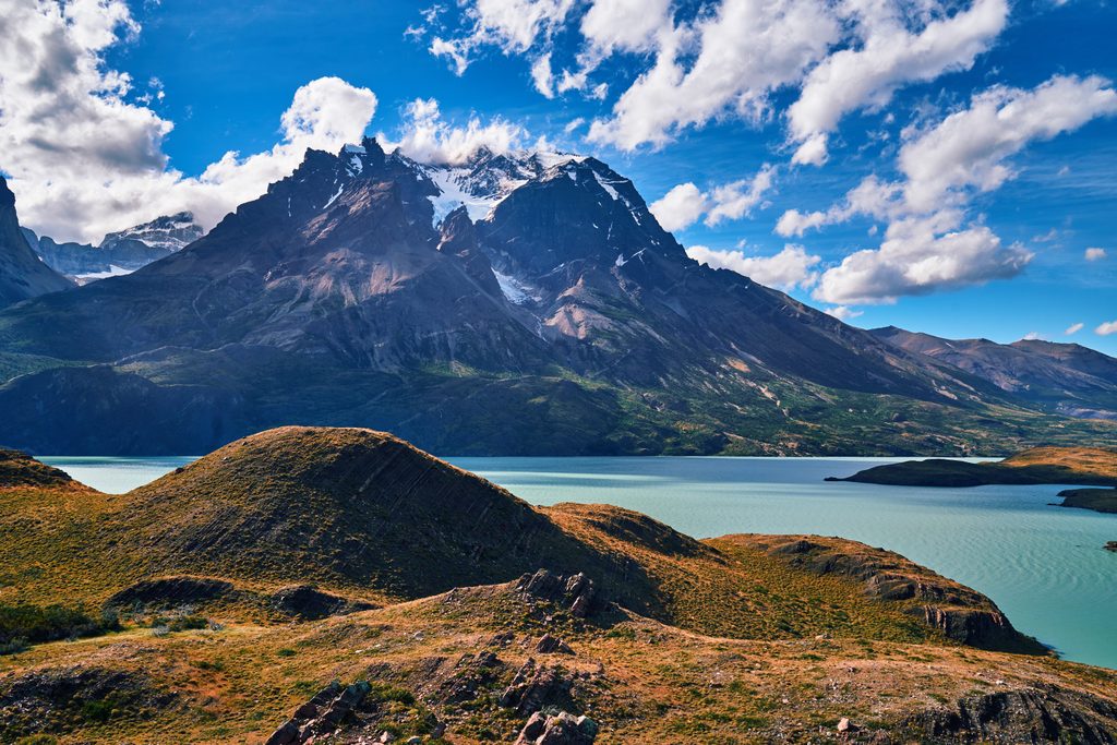
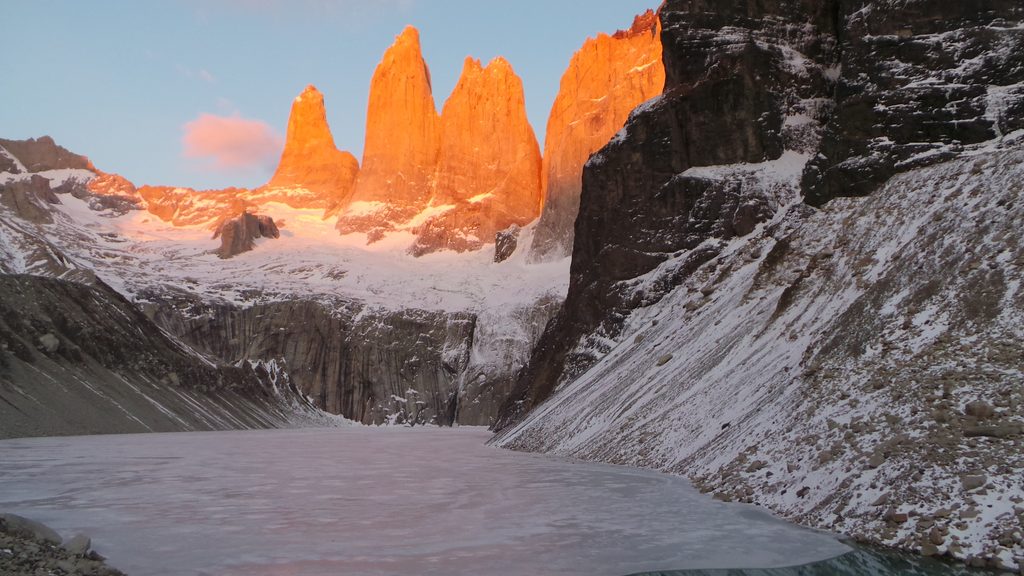
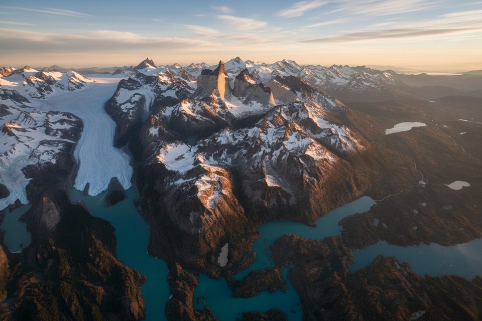
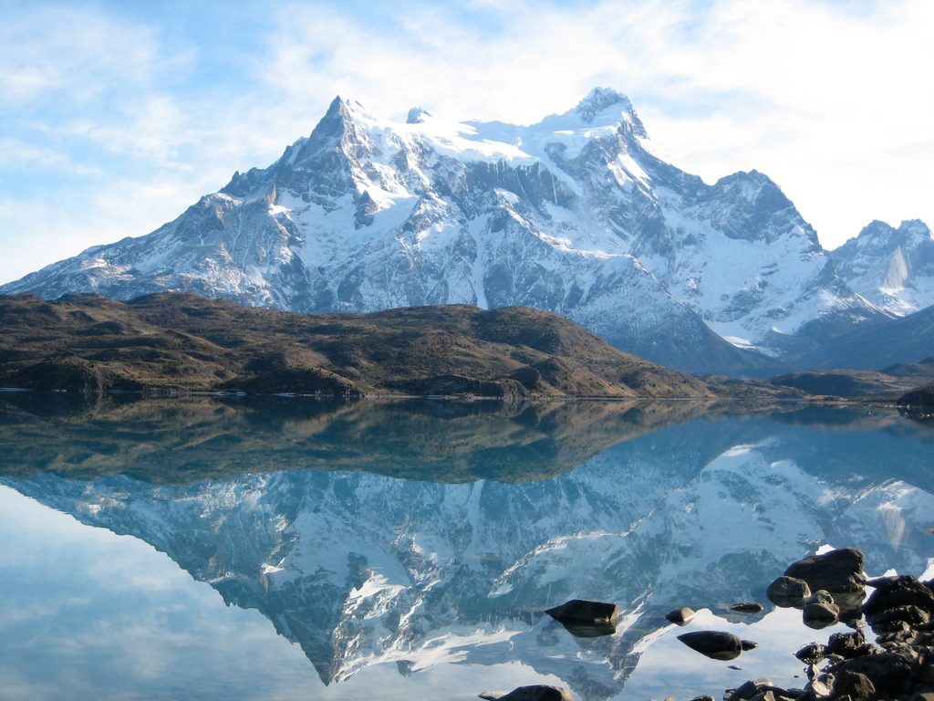
Cerro Almirante Nieto (often called Paine Chico) is the serrated, wind-scoured peak that bookends the massif near the Las Torres sector. Its east and west summits rise to roughly 2,600 meters, forming a dramatic wall above the Ascencio Valley and Lago Nordenskjöld. Expect that classic, hard-to-look-away skyline—granite spires, hanging snowfields, and glacier-chiseled relief.
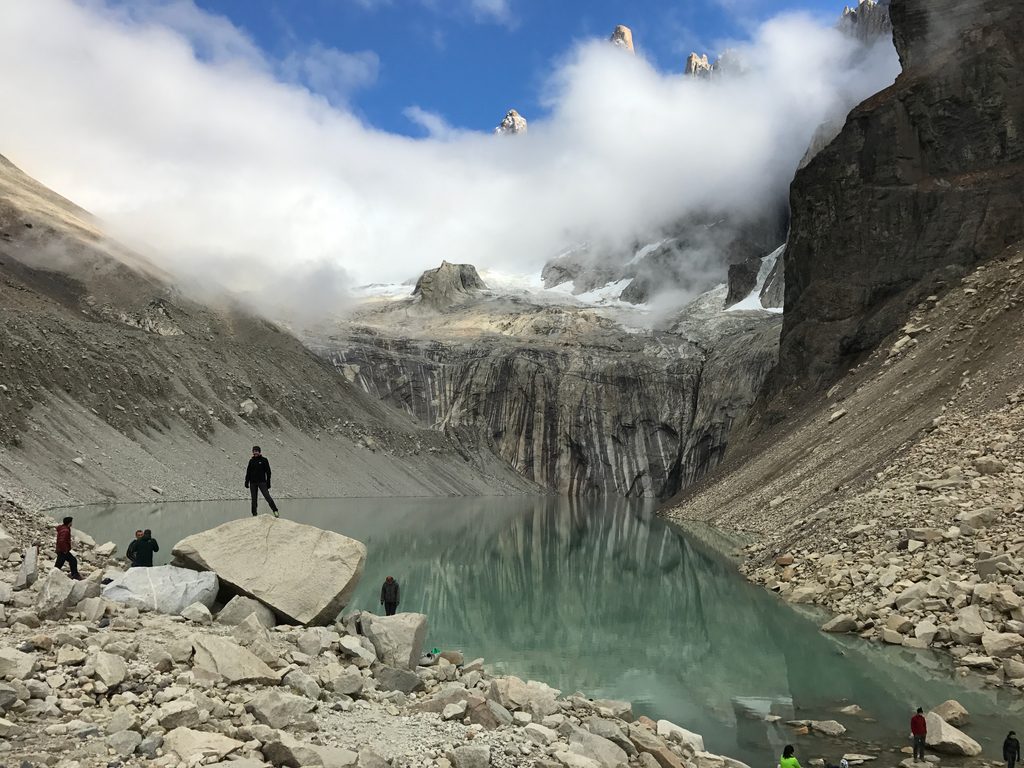
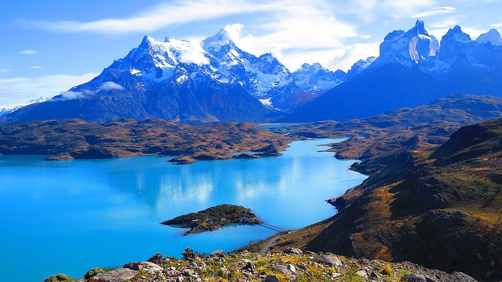
If you’re hiking the Base Las Torres route up the Ascencio Valley, you’ll walk along the flanks of Almirante Nieto with sustained, close-up views all day. Lower-effort days along the Nordenskjöld lakeshore also deliver long, postcard profiles of the mountain, and short outings like Mirador Cóndor or the Salto Grande–Mirador Cuernos area offer big panoramas that include Almirante Nieto.
The surrounding rocks are part of the rare Rocas Verdes formation—basalts, sandstones, shales and cherts uplifted after the breakup of Gondwana—set amid those famous granite towers. The weather is notorious: moisture-laden west winds (the “Furious Fifties”) plaster peaks with rime “cauliflower ice,” and 80–110 km/h gusts aren’t unusual. Clear windows happen, but the mountains often hide in cloud; pack for four seasons in a day.
There’s no park hiking trail to the summit. Almirante Nieto is a technical alpine objective with glaciated, exposed terrain and real consequences; parties must be fully self-sufficient. Historic ascents include a 1937 “normal route” to the east summit, a 2004 west arête climb (alpine rock up to 5.11‑), and a 2018 south-face line weaving ice, snow, and steep, unconsolidated pitches. If you’re not here to climb, the best experience is simply hiking to Base Torres or sightseeing from the lake and viewpoints.
Around the Las Torres corridor, established camping sectors (like Central and Chileno) provide bathrooms and scheduled hot-water showers. Cooking is restricted to designated shelters, with stricter limits in some sectors due to fire risk. Water is typically drawn from streams and at camps; many hikers still carry a filter or purification method. If you push toward a high camp for a climb, don’t expect facilities—follow Leave No Trace and treat all water.
For viewpoints and day hiking, you can visit year‑round, weather permitting. High season runs November–March, with the most services (and the most people). Self-guided multi‑day trekking generally operates October–April; in winter (May–September) a guide is typically required for the classic circuits. For summit attempts, guiding availability is commonly September–April. Start early for calmer winds and better light, and build in a weather buffer.
Most visitors stage from Puerto Natales. Buses run to the Laguna Amarga entrance, the gateway for the Las Torres trail area. Buy park entry online in advance and download your QR code before leaving town—cell service in the park is spotty. Overnighting requires advance reservations for camps/refugios; day hikes do not.
Place · 1.8 mi away
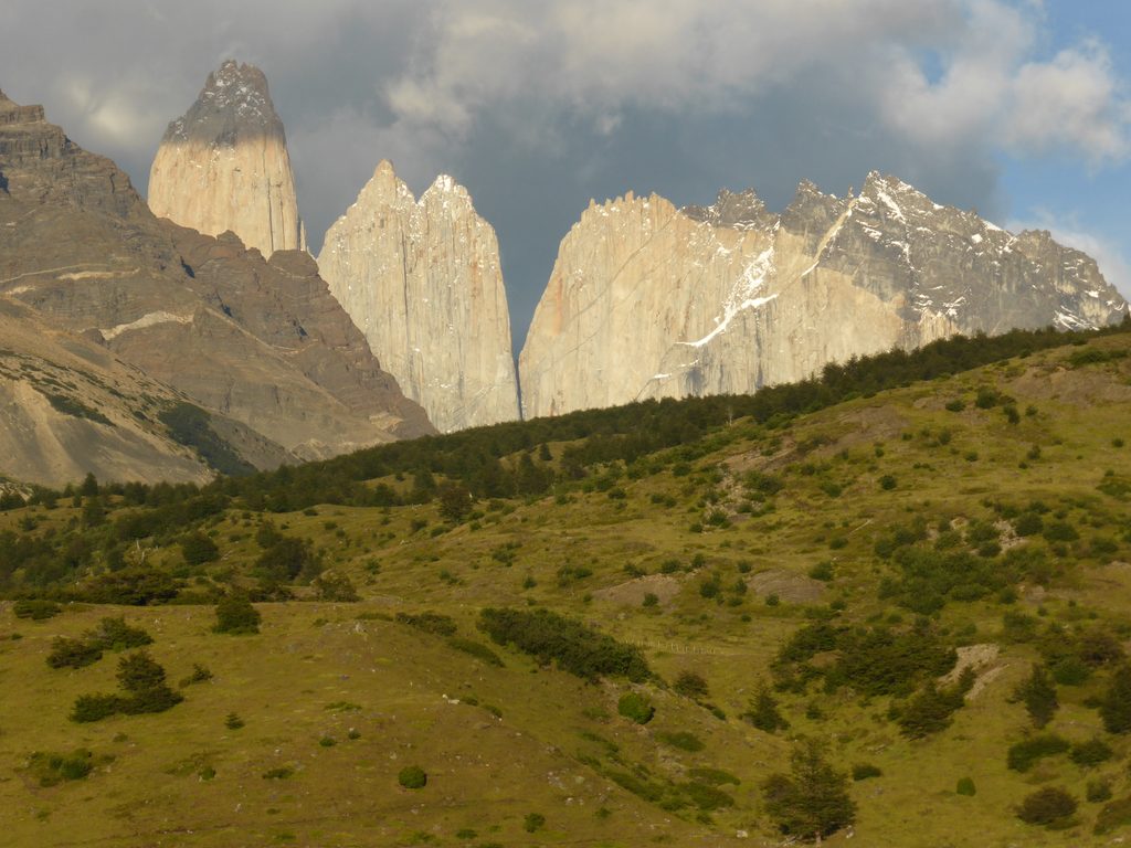
Place · 2 mi away
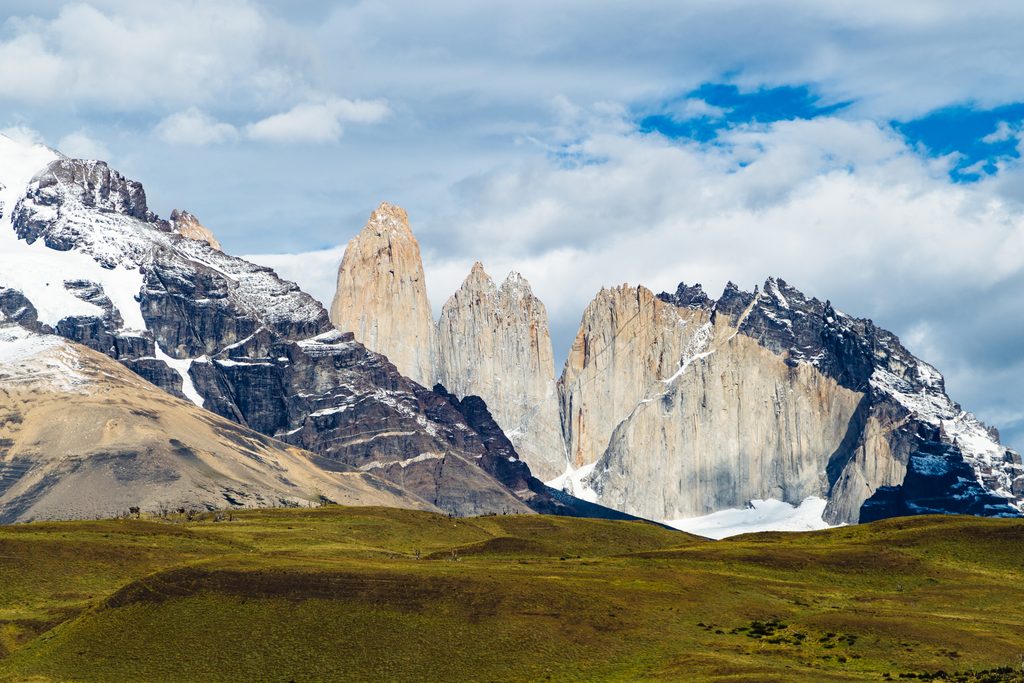
Place · 2 mi away
Place · 2.1 mi away
Challenging · 4.4 mi away
Moderate · 4.4 mi away
Challenging · 4.4 mi away
Challenging · 4.4 mi away

Parkwolf Tour Guide
