
Place · 0 mi away

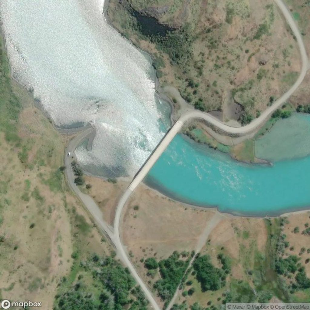
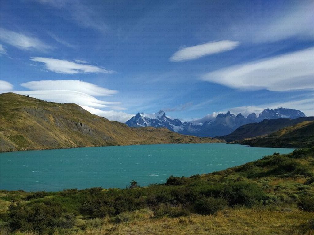
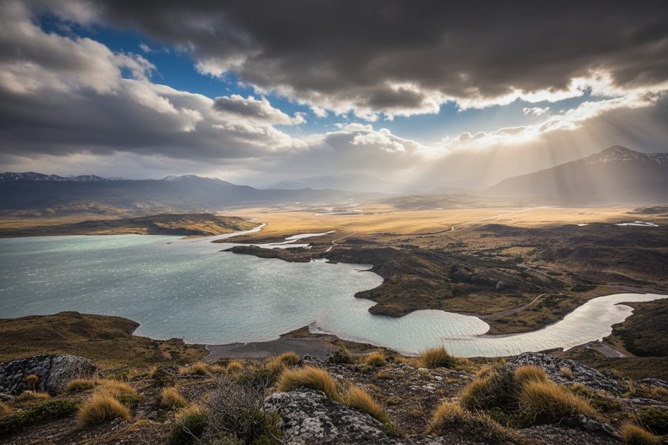
Mirador Puente Weber is a quick, view-packed outing above the Río Paine as it spills toward Lago del Toro. You reach it on a straightforward out‑and‑back from the Park Administration area, climbing gently through open country to a perch with lake, river, and big‑sky mountain panoramas.
On clear days you’ll get a sweeping skyline of the Paine Massif with distant glaciers and the milky‑turquoise waters of the river and lake below. Calm mornings can produce glassy reflections; blustery afternoons add drama. In summer, keep an eye along the path for native orchids.
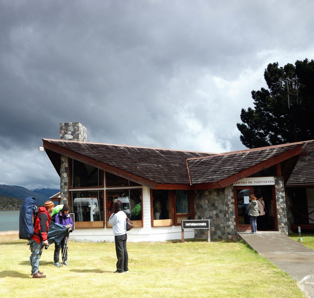
Start from the Park Administration (trail is signed for Sendero Miscelánea/Puente Weber). There are restrooms and parking at the Administration area; there are no facilities, water, or bins at the viewpoint—pack in/out. Park buses stop at the Administration hub, not at the bridge or viewpoint.
Raptors, including condors, are occasionally spotted riding the wind here. Summer (roughly December–February) brings wildflower color, including those orchids noted along the trail—enjoy them with your eyes and stay on the path.
You’re looking at a rugged granite massif sculpted by intense glacial erosion; the striking blue‑green water below owes its color to fine “rock flour” suspended in the flow.
Peak hiking conditions are January–March. Go early or late for softer light (and a better shot at calmer air); sunrise and late‑day can paint the massif beautifully. Winds tend to peak in early summer (roughly November–January), so plan layers and secure anything that might fly.
Want more miles? The longer Lazo–Weber route is a point‑to‑point option that traverses lagoons and finishes with a steeper descent near the bridge—an underrated alternative when time and logistics allow.
Place · 0 mi away

Place · 1.1 mi away
Place · 1.2 mi away
Place · 3.4 mi away
Challenging · 0 mi away
Challenging · 0 mi away
Moderate · 6.6 mi away
Easy · 7.8 mi away

Parkwolf Tour Guide
