
Place · 0 mi away
Challenging
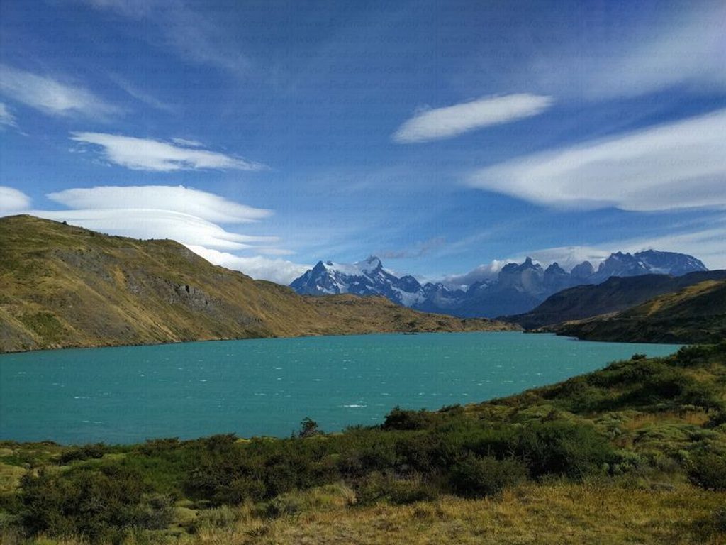
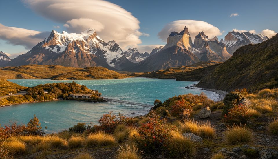
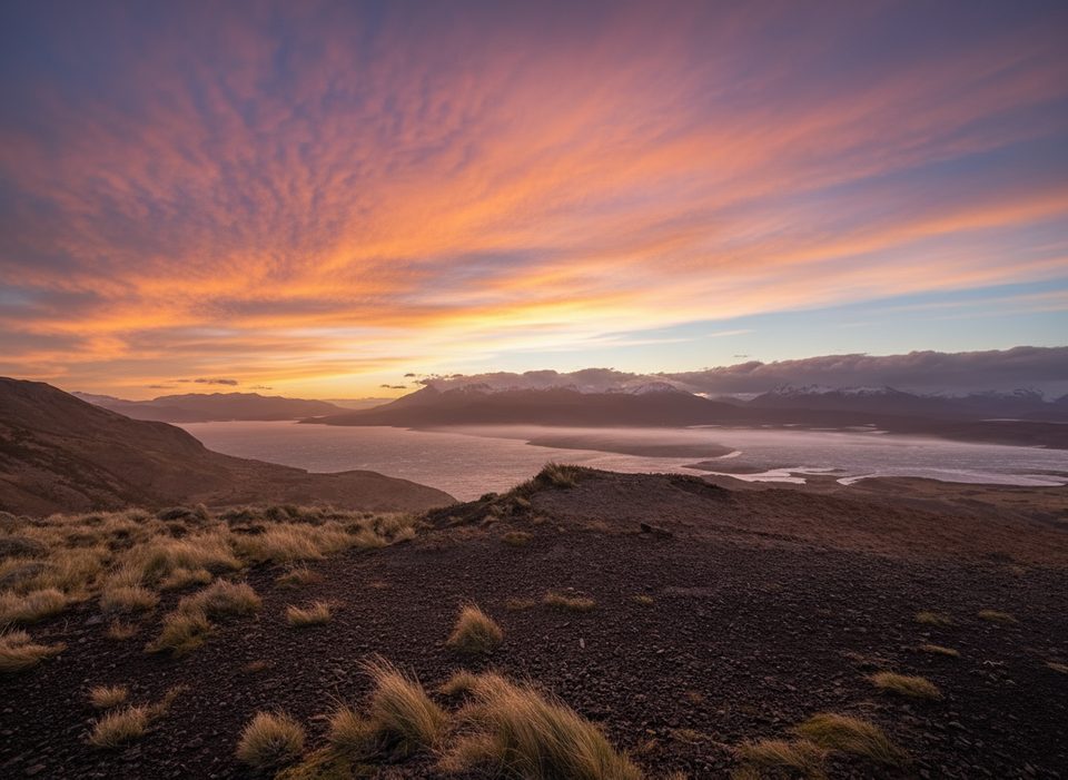
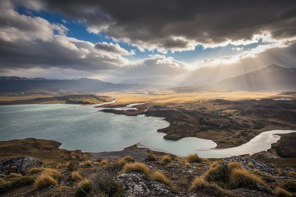
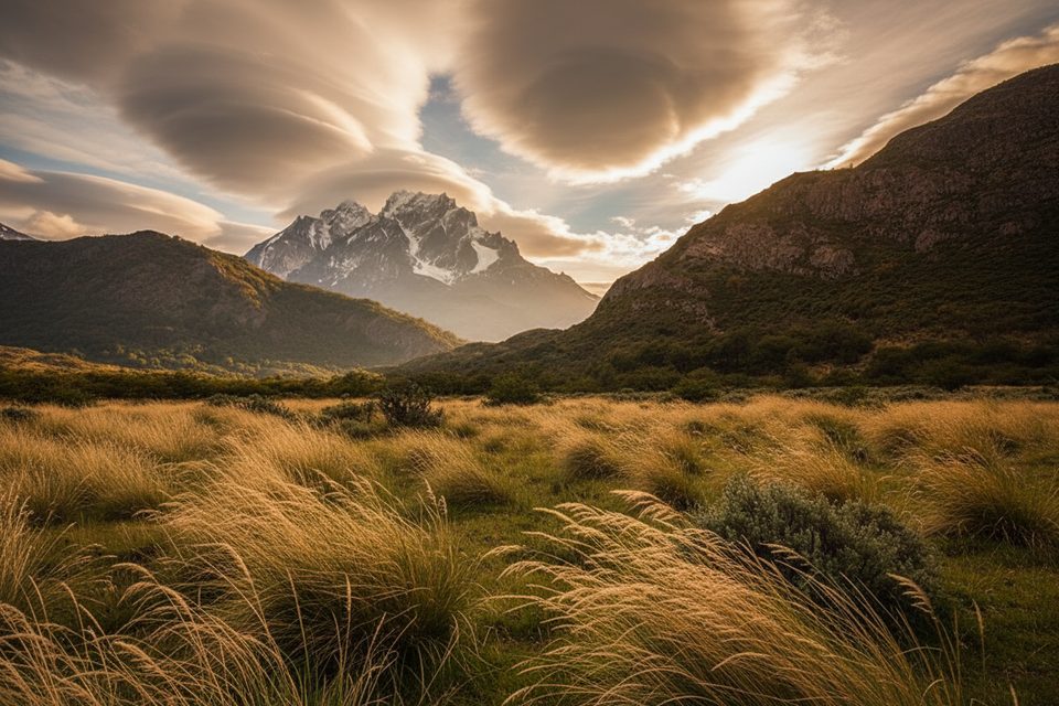
If you want the big‑picture view of Torres del Paine without the W‑Trek crowds, Sierra del Toro delivers. From the south side of the park, the trail climbs a broad, wind‑scoured ridge for sweeping looks over Lago del Toro (the park’s largest lake), the Paine River and Serrano Pampa, and the distant Paine Massif. The full Sierra del Toro route is a full‑day, moderate outing: about 20 km/12.4 miles total, typically 8–10 hours, with sustained climbing and no technical sections.
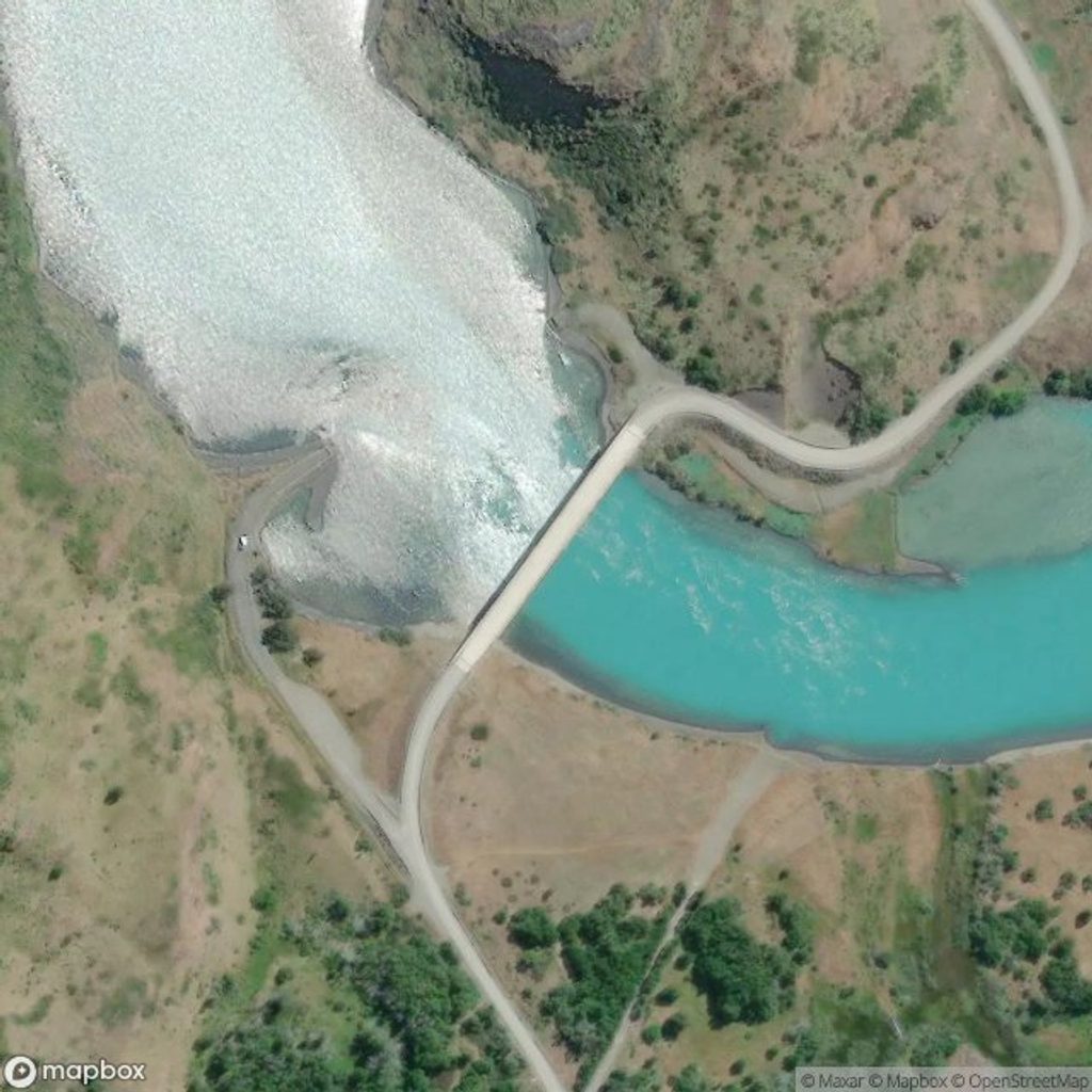
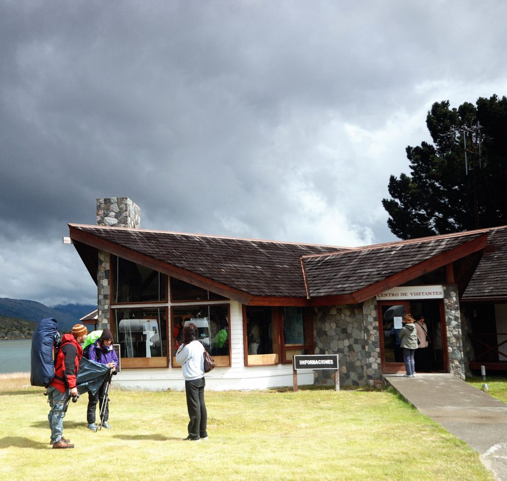
You’ve got choices. The headline traverse runs between the vicinity north of the CONAF Administration Center and Laguna Verde, with an option to start in either direction. A short taster to Mirador Lago Toro leaves near the Administration Center and reaches the viewpoint in roughly 45 minutes before returning the same way. Prefer a loop? A separate loop variant begins by Puente Weber on the Y‑290 road and links small lagoons for a circuit of roughly 14.3 km with about 577 m of gain in 4.5–5 hours. All versions favor broad panoramas over up‑close glacier time.
Expect a steady climb on steep, rocky tread and frequent wind exposure—gusts are part of the experience here. Surfaces are uneven and there are no built accessibility features. The full traverse feels moderate to strenuous depending on pace; the Puente Weber loop is commonly rated difficult; the short mirador out‑and‑back lands in the middle for most hikers.
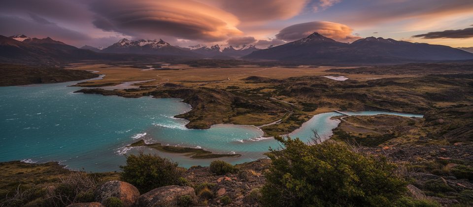
This is your “map view” of the park: Lago del Toro spread below, the Paine and Serrano river corridors, and the massif lined up across the horizon. South‑ and east‑side days here pair well with other vantage points and geology walks—think quiet viewpoints and shoreline thrombolites near Lago Sarmiento—if you want to make a full scenic day of it.
October through March offers the best window: longer daylight and open seasonal routes, though the wind can still be fierce. Shoulder months bring fewer people but more variable weather. Winter (May–September) comes with extra rules, and certain routes require permits/registration—plan accordingly.
Trailheads are signed around Puente Weber (Y‑290), near the CONAF Administration Center by the south entrance, and at Guardería Laguna Verde for the traverse. Buy your park entry in advance. No dogs are allowed anywhere in the park. Start early, bring windproof layers, and pick the variant that matches your time and fitness. Note that “Sierra del Toro” labels a few related lookouts (Mirador Lago Toro, Alto de Toro), so distances can vary—confirm your exact start and finish before you go.
Trailheads are accessed at Puente Weber on the Y‑290 road, near the CONAF Administration Center, or at Guardería Laguna Verde for the traverse; confirm parking or drop‑off at your chosen start.
Extremely windy and exposed ridgeline; steep, rocky footing. Winter months require additional rules/permits. No dogs allowed anywhere in the park.
Place · 0 mi away
Place · 0 mi away
Place · 1.1 mi away
Place · 1.2 mi away
Challenging · 0 mi away
Moderate · 6.6 mi away
Easy · 7.8 mi away
Moderate · 7.8 mi away

Parkwolf Tour Guide
