Overview
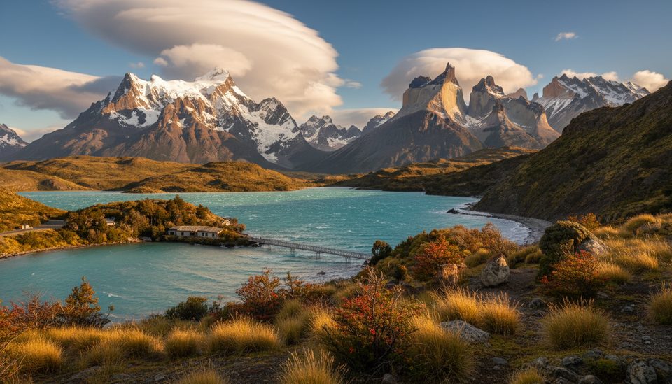
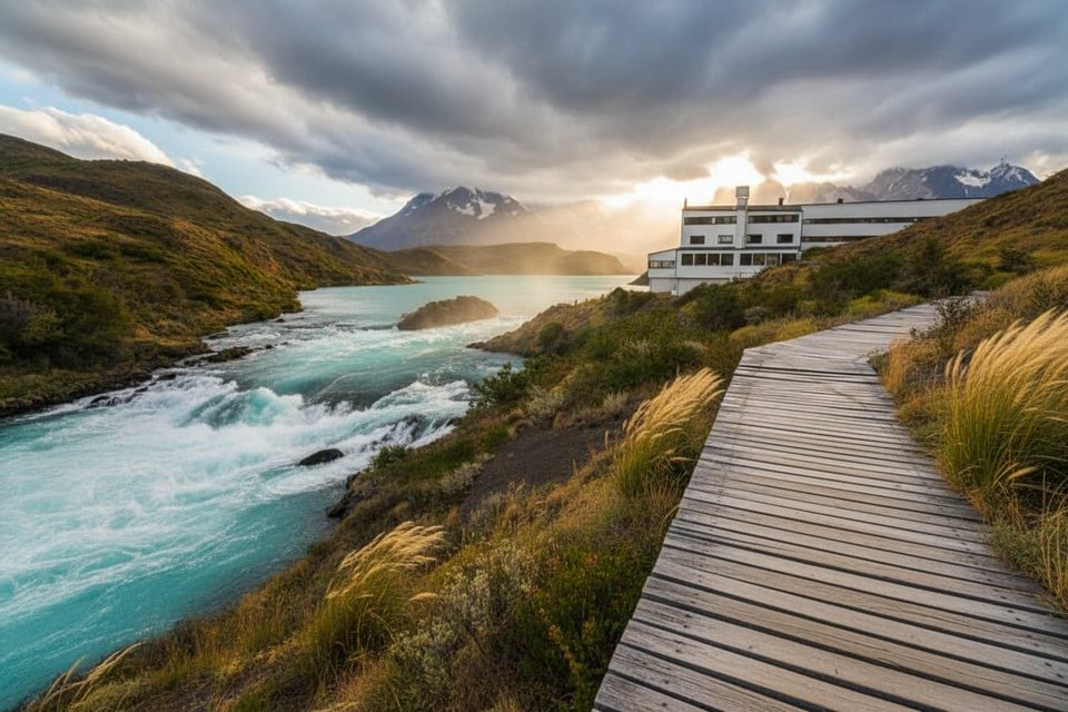
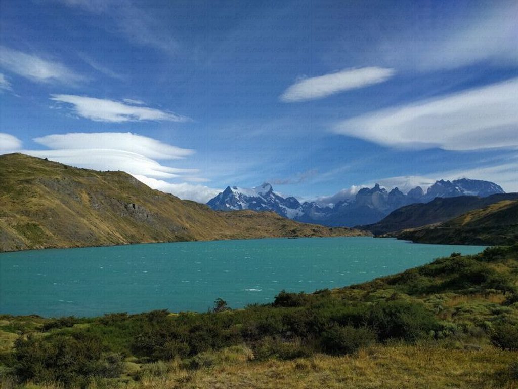
Weber Bridge spans the Río Paine just north of Lago del Toro in the park’s western sector. It’s a low‑key stop with big scenery: broad lake-and-mountain panoramas and, on calm days, mirror‑like reflections. It’s also the traditional finish of the point‑to‑point Lazo–Weber traverse, so you’ll often see hikers getting picked up here rather than crowds lingering.
Why stop here
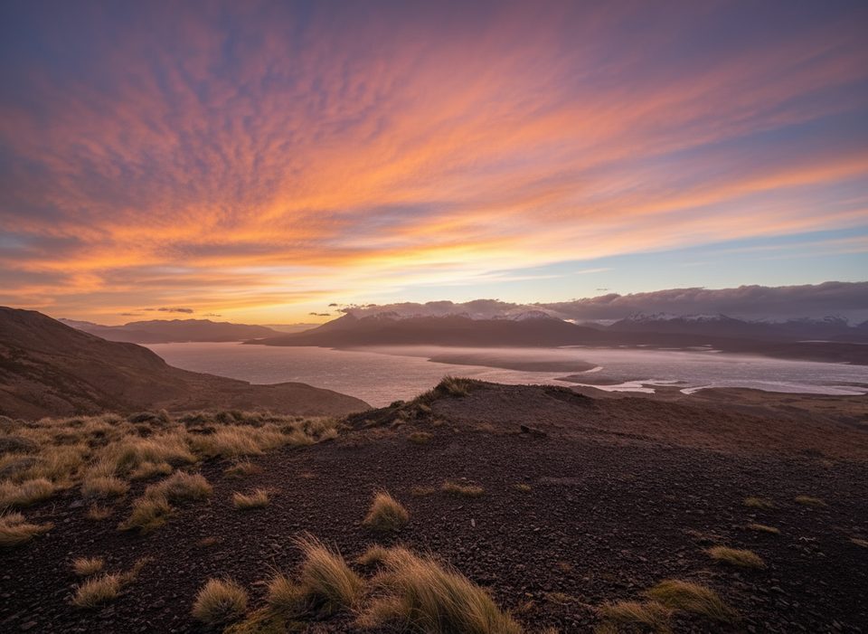
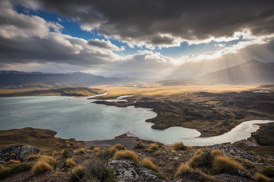
- Views: From the bridge and nearby lookout you get sweeping sightlines toward the Paine range and the confluence of the river and Lago del Toro.
- Peace: This corner stays quieter than the headline viewpoints, so it feels like a breather between the park’s busier hotspots.
Trails that use or start near the bridge
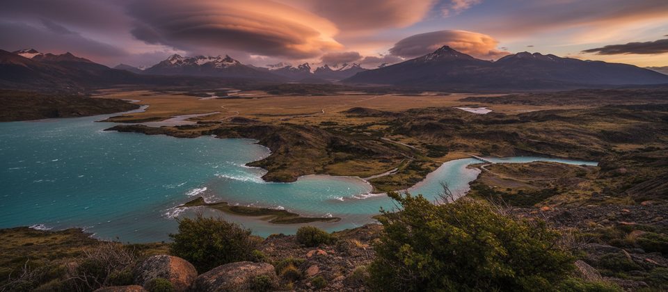
- Lazo–Weber (point‑to‑point): Roughly 13.5–14 km, moderate, 4–5 hours. Most of it rolls gently before a steeper, sometimes slippery descent to the bridge. Expect constant views of the massif and a chain of lagoons (Honda, Verde, De los Ciervos) plus the Río Paine. Many hikers go Laguna Verde → Weber to keep the big descent for the end; arrange a pickup at the bridge.
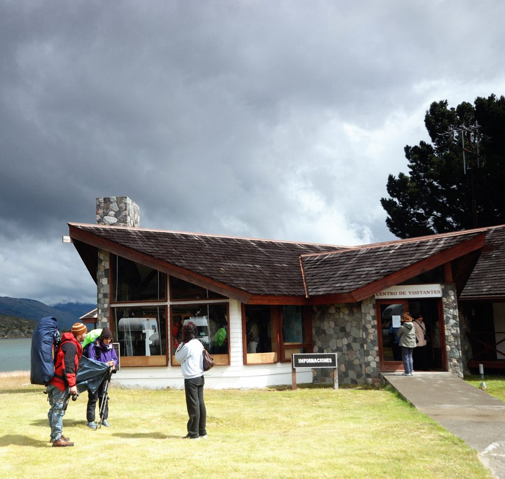
- Short option from the Administration area: A signed path links the Visitor Center/Administrative Headquarters to the bridge and Lago del Toro viewpoint. Plan on an out‑and‑back of around 5 km (about 1.5 hours) with big lake-and-glacier views.
- Lago del Toro Lookout–Lagoons Loop: A tougher loop (about 14 km) begins a few meters from the bridge; anticlockwise, it climbs steeply to the lookout before traversing lagoon country with wide open vistas.
Wildlife and wildflowers
This sector is good for guanacos and soaring condors, with foxes and even pumas inhabiting the area—keep your distance and follow ranger guidance. In summer, orchids often line nearby trails.
Practicalities
- Facilities: Treat the bridge as a viewpoint/road crossing—no toilets, taps, or shelter right here. The park’s staffed sites (gatehouses and major road hubs) provide restrooms and potable water, and the Administrative Headquarters/Visitor Center typically operates 08:30–20:00.
- Weather: Strong winds are common and conditions can swing from sun to showers, rain, snow, or fog. Sturdy boots and layers help; trekking poles are handy for the final descent if you’re walking the traverse.
- Logistics: The Lazo–Weber is not a loop—book a shuttle/driver or a guided day trip that drops you at Laguna Verde and meets you at the bridge. A park entrance fee applies.
A note on the bridge
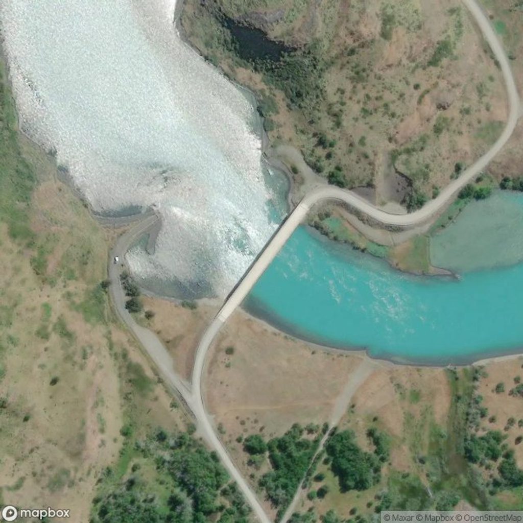
This is a road span on Route Y‑156 over the Río Paine, built in the late 2000s–early 2010s as part of safety upgrades. The finished structure is roughly 125 m long with steel girders and a reinforced‑concrete deck.
Best time to visit
October through March lines up with the main hiking season and longer daylight. This spot rarely feels crowded; start early if you’re doing the full traverse, and on clear, calm days linger for those prized lake‑reflection photos.