
Place · 0 mi away
Challenging
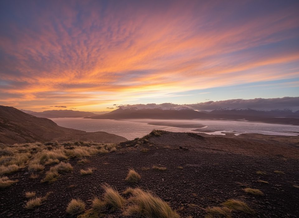
This is a demanding but rewarding 8.9‑mile total loop that climbs from near the Weber Bridge to the Mirador Lago Toro, then continues through a chain of small lagoons. Expect a punchy first climb, big skies, and a constant sense of Patagonian scale. The loop is generally rated difficult thanks to steep grades and wind exposure, with roughly 1,893 feet of elevation gain.
Most hikers go counterclockwise: start a few steps from the Weber Bridge, grind up the steepest slope early to reach the viewpoint, then traverse and descend through low forest and open steppe. From there the path threads past Lakal Lagoon, Laguna Honda, and Deer Lagoon—each with different colors and light. The trail is generally well marked, but you can hit overgrown stretches and some slippery shale on the descent; trekking poles help keep things tidy.
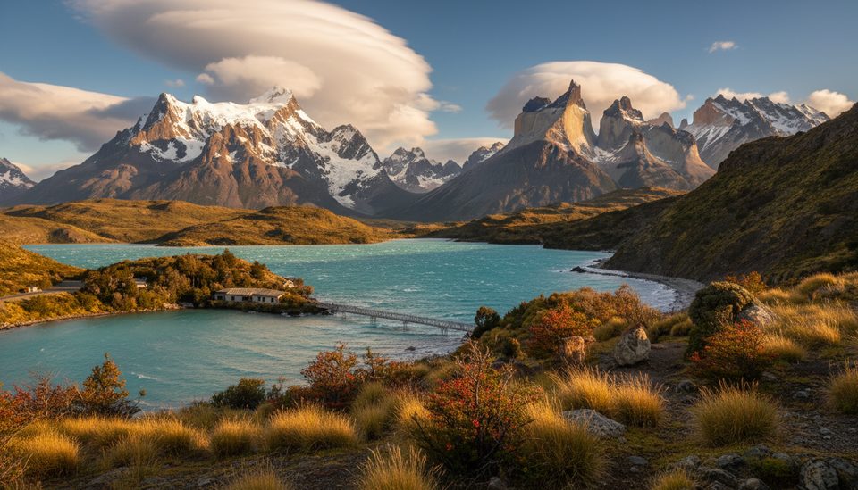
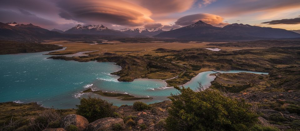
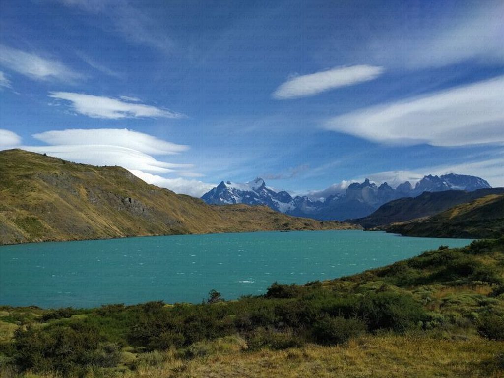
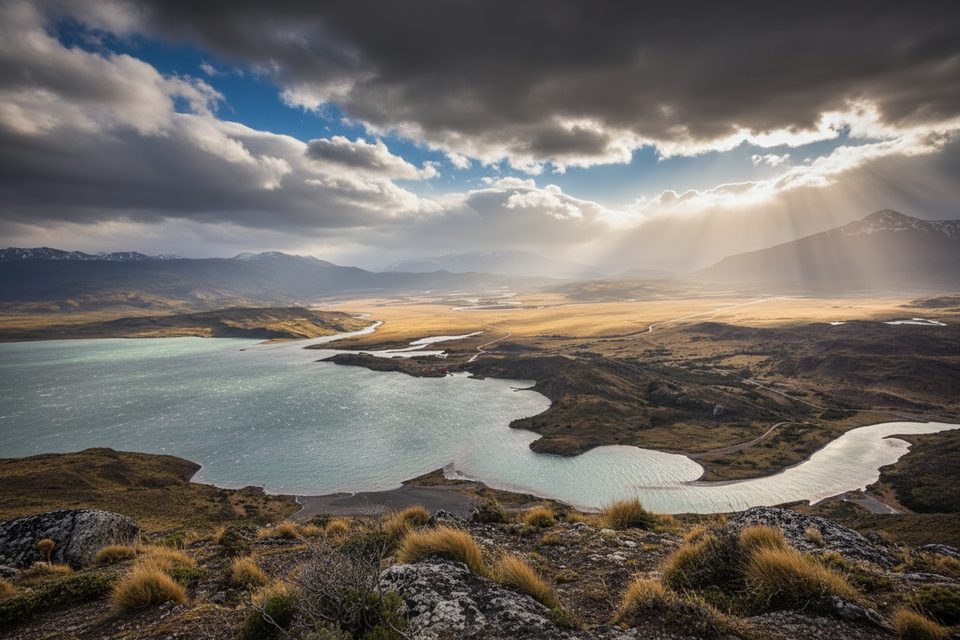
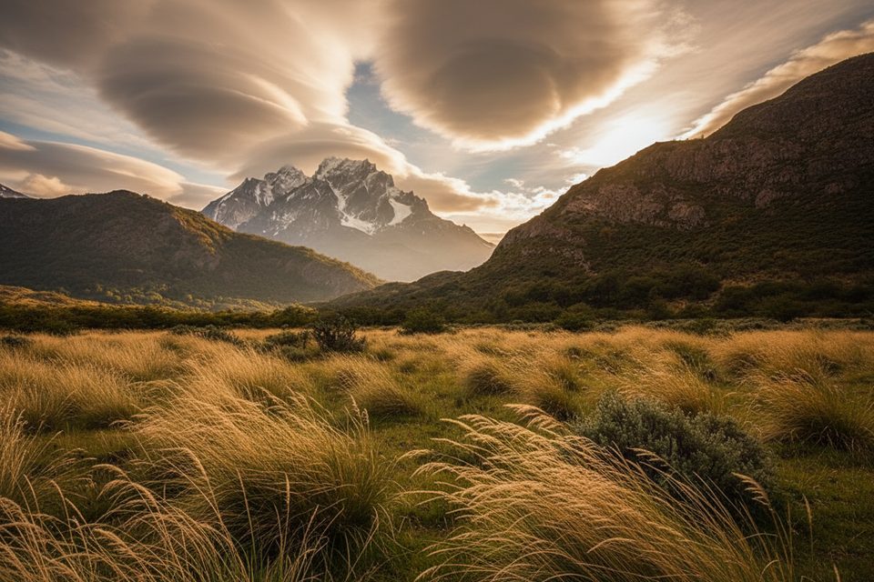
From the mirador the panorama takes in Lago del Toro and the striking confluence where the Paine River meets the lake—one of the park’s signature vistas. You’ll move between wind‑scrubbed steppe, pockets of low forest, and seasonal wildflowers. The broader massif formed roughly 12 million years ago, and the landscape around Lago Toro still shows the fingerprints of past ice. Keep an eye out for guanacos, ducks, frogs, woodpeckers, and soaring condors.
October through March is prime. Mornings tend to offer clearer views; late afternoon can deliver golden light but winds often build by midday. Start early to beat both the crowds and the strongest gusts. This is a half‑day for fit hikers; allow extra time if you like to linger at the lagoons.
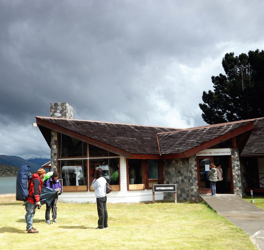
Trailhead access is by the Park Administration/Visitor Center near the Weber Bridge. A park entry ticket is required. Dogs are not allowed. The park offers concessioned services for lodging, camping, and food elsewhere in the area, but you won’t find services on the loop—carry the water you need. Cell service is spotty; bring an offline map or GPX and follow marked paths. Daylight hiking only, and stick to established trails.
If you want the same viewpoint with a longer, gentler day, there’s a roughly 15.6‑mile out‑and‑back from the Serrano sector along riverside and lakeshore paths. Short on time but fine with a steep grunt? There’s a very direct spur used by some hikers to tag the viewpoint quickly.
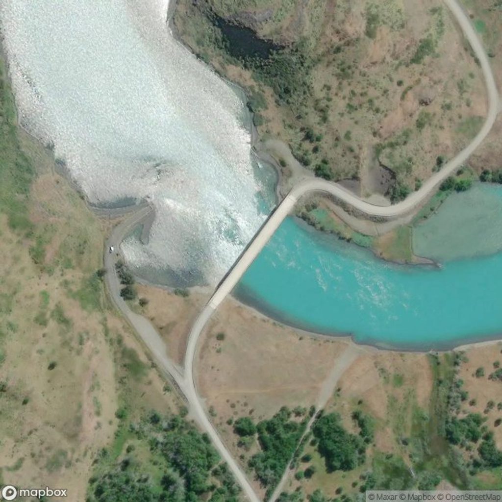
Park at the Administration/Visitor Center near the Weber Bridge; the loop starts a few meters from the bridge.
Patagonian winds are the main hazard; expect steep, slippery sections and exposure. Hike in daylight, stay on marked trails, and carry offline navigation.
Place · 0 mi away
Place · 0 mi away
Place · 1.1 mi away
Place · 1.2 mi away
Challenging · 0 mi away
Moderate · 6.6 mi away
Easy · 7.8 mi away
Moderate · 7.8 mi away

Parkwolf Tour Guide
