
Place · 0.7 mi away
Challenging
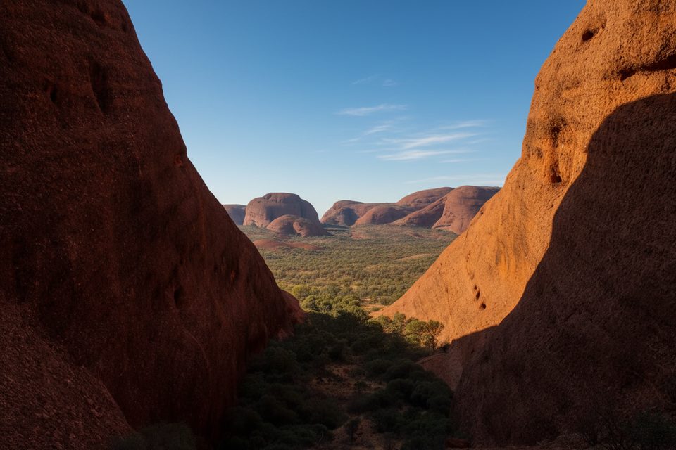
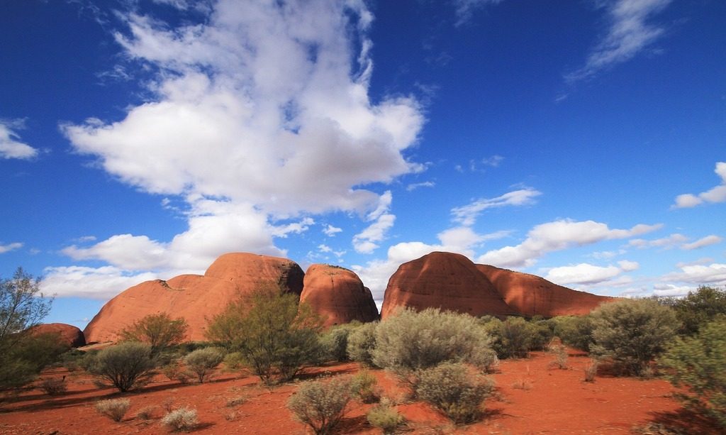
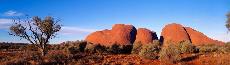
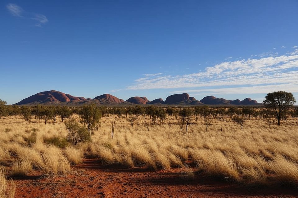
Karingana is the second lookout on the Valley of the Winds walk through Kata Tjuta’s domes. Expect big‑sky desert vistas and an intimate look into the maze of rounded conglomerate domes. It’s a tougher outing than the first lookout, but with far fewer people and far better views.
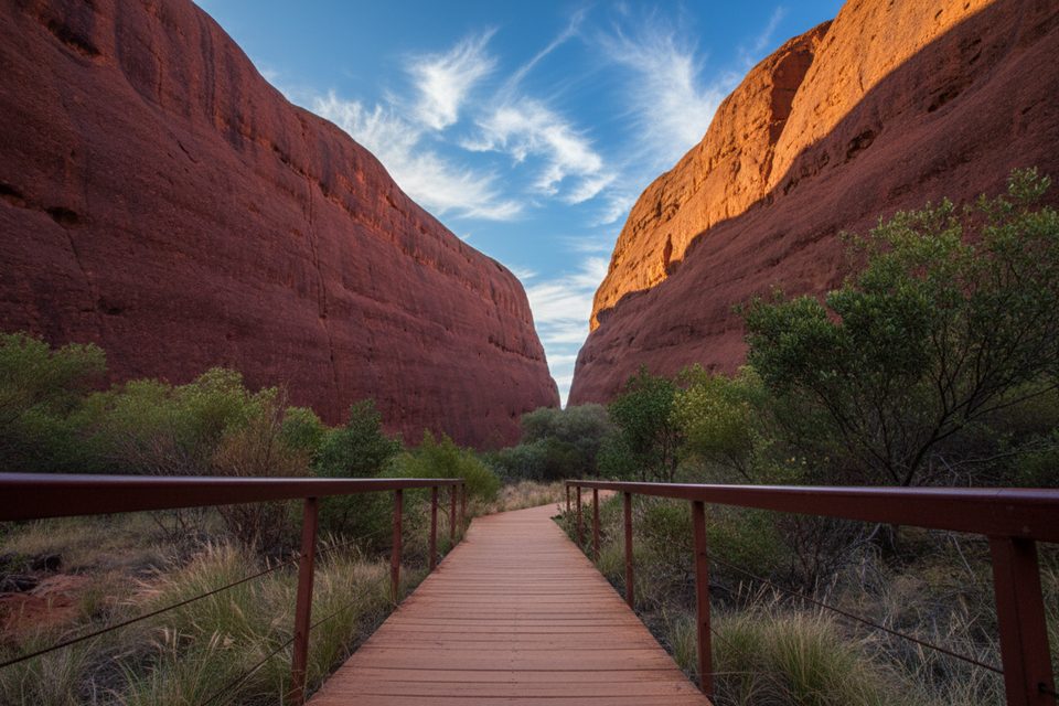
Two solid options: hike to Karingana and back (3.4 miles total, about 2.5 hours) or continue the full Valley of the Winds circuit (4.6‑mile loop, 3–4 hours total). The track is Grade 4—steep, rocky, with many steps—so sturdy footwear and sure footing are essential. Park guidance notes the full circuit is actually easier than returning the same way from Karingana because it avoids the steep re‑ascents.
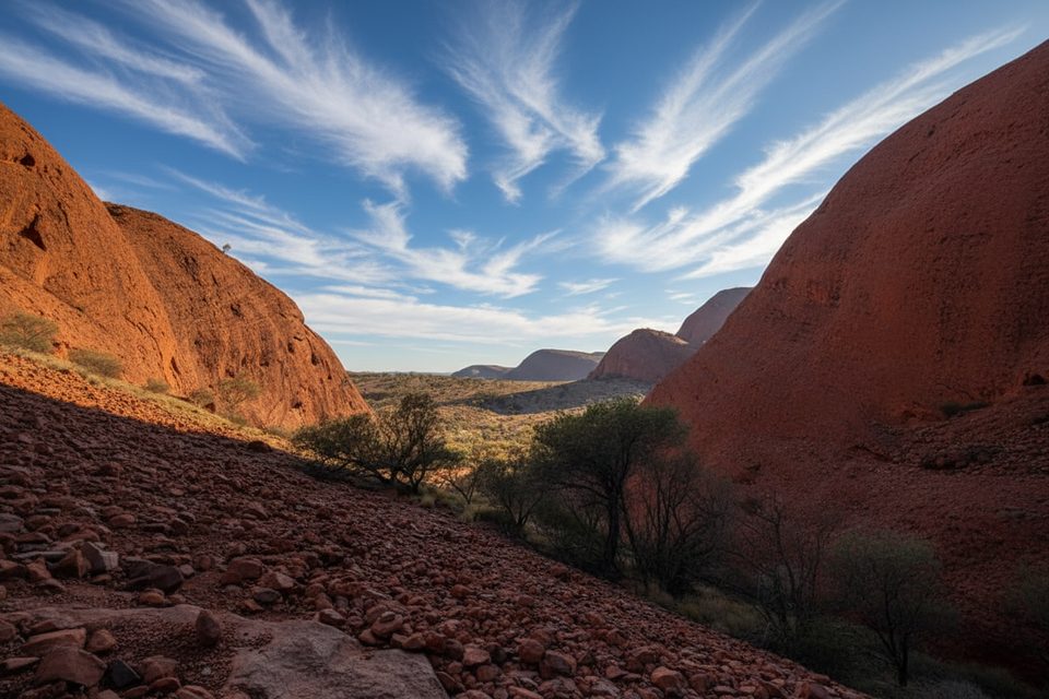
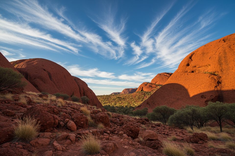
From Karingana, you look across a broad valley ringed by domes and down into creek beds and cool canyons that feel worlds away from the exposed approaches. The route passes scrubland, intermittent waterholes, hanging gullies, and shifting pockets of shade. After rare rains and during cooler months, seasonal wildflowers like mulla mulla and desert peas brighten the red earth.
Kata Tjuta’s 36 domes began as a jumble of mountain debris swept into valleys roughly 500 million years ago. Compressed into hard conglomerate, then lifted and sculpted by time, they now rise as rounded beehives—best appreciated from Karingana’s perch.
Start early year‑round. When the forecast or actual temperature reaches 36°C, access beyond the first lookout closes from 11:00 a.m., and on very hot days the track may shut entirely. Cooler months (April–September) bring friendlier temps, clearer air, and occasional flowers. Crowds thin dramatically after the first lookout regardless of season.
Begin at the Valley of the Winds car park. There’s drinking water at the trailhead and roughly halfway around the circuit, but still carry plenty yourself. Many hikers prefer doing the loop counter‑clockwise for unfolding vistas. A park pass is required. Flies can be intense—pack a head net along with sun protection.
This is a culturally sensitive men’s area for the Aṉangu. Walk quietly, stay on the marked track, and do not photograph or film the Kata Tjuta rock formations anywhere along this walk. Close‑ups of people, flora, and fauna are acceptable; commercial filming/photography is not permitted here.
Start at the Valley of the Winds car park at Kata Tjuta.
Steep, rocky steps; no photos of rock formations; track closes beyond the first lookout from 11:00 a.m. when temps reach 36°C; carry ample water; flies can be intense.
Place · 0.7 mi away
Place · 1.1 mi away
Place · 1.1 mi away
Place · 1.3 mi away
Challenging · 0 mi away
Moderate · 0.1 mi away
Easy · 1.1 mi away
Easy · 5.9 mi away

Parkwolf Tour Guide
