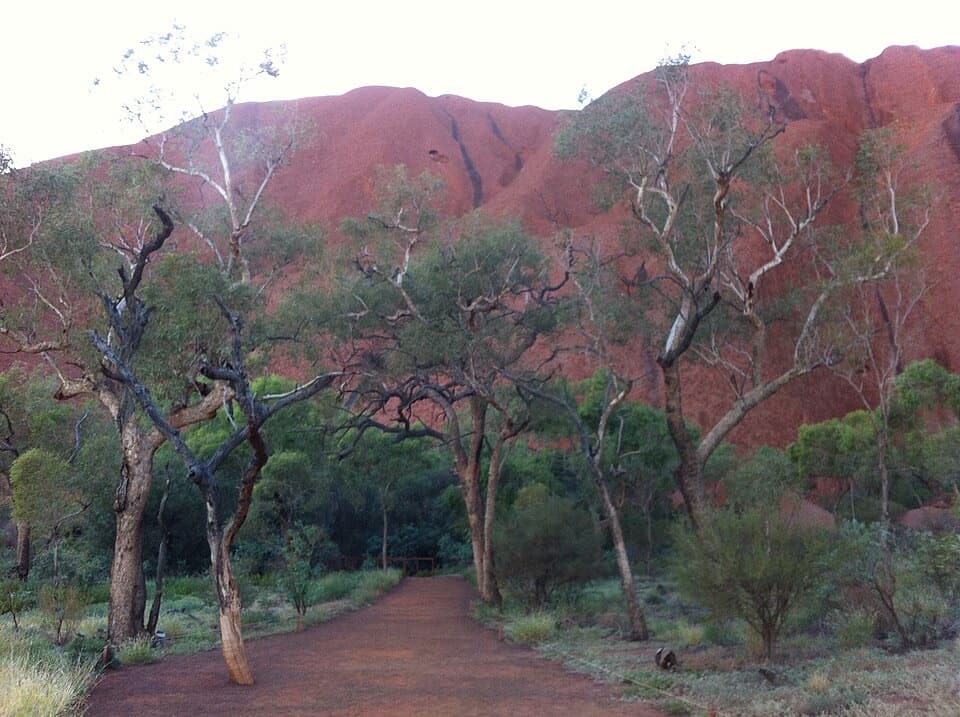
Parking
Start at the Waḻpa Gorge carpark on the access road into Kata Tjuṯa; the marked footpath begins beside the parking area.

#5 of 15 trails in Uluru-Kata Tjuta
Uluru-Kata Tjuta National Park, NT
A short, rocky walk into the narrow gorge at Kata Tjuṯa.
Overview
Map & elevation
Plan your hike

The highest, rockiest slopes around here are a summer buffet for grizzly bears.
Uluru-Kata Tjuta Tour Guide
Parkwolf is a GPS audio tour guide for Uluru-Kata Tjuta National Park. As you drive, it chimes in with what’s ahead: hidden gems, upcoming stops, history, geology, and wildlife, right through your car’s speakers.
See the Uluru-Kata Tjuta audio tourRecorded for this trailhead
Waḻpa Gorge: Between the Domes“You're approaching the carpark for Waḻpa Gorge, a walk between Kata Tjuṯa's towering red walls. Allow about an hour for the two point six kilometres return, with a gradual climb and rough, uneven rock underfoot.”
Plays as you drive up to this trailhead in the Parkwolf Uluru-Kata Tjuta Tour Guide.
More stories near here in the app
“Fantastic app with many points of information… It’s great to just turn on while you’re driving and it gives you an audio tour of the national Park. We love it!!!!”


Trail guide
Waḻpa Gorge Walk is a 2.6 km (1.6-mile) out-and-back from the gorge carpark to a viewing deck beside a grove of spearwood, then back the same way. Parks Australia estimates an hour and assigns Grade 3. It is a short way to get inside Kata Tjuṯa’s red walls, but the path is rocky and uneven: the distance makes it manageable, not a smooth stroll. Choose it for a close look at the domes when you have about an hour; the larger Valley of the Winds walk is a longer commitment. The track rises gradually, and the same uneven footing is waiting on the return.
Follow the marked route from the far end of the carpark loop. A couple of brushwood shelters and a bench under a bloodwood tree offer a pause before the gorge narrows. Inside, the walk crosses rough patches of broken conglomerate; ramps help over the rockier sections. It follows the seasonal creek and climbs between spearwood thickets, with the walls getting closer as you go. The route ends at a large viewing deck looking into the narrowing head of the gorge. Turn around there and retrace the same path; there is no need to climb down into the gullies to get a closer view.
The rounded domes of Kata Tjuṯa are made of conglomerate: water-rounded pebbles cemented in sand and mud. Along the walk, notice the broad, near-horizontal layers in the walls and the contrast between the massive slopes and the smaller stones underfoot. The formations began as one much larger mass and were shaped by erosion over a very long time. The gorge is a good place to see the rock up close rather than only from the road or a distant lookout.
The creek is seasonal and may be only a trickle; after rain it can flow. Even when the channel is dry, the sheltered gorge supports plants that stand out against the dry country around the domes. The track finishes among spearwood, and the entrance can be dotted with pink daisies in late winter. Common wallaroos, called kanyaḻa, sometimes move among the domes, though they are a possibility rather than a promised sighting. This is a place to take your time and look, not to leave the marked track in search of wildlife or water.
Kata Tjuṯa is sacred to Aṉangu. Walk quietly, tread lightly, stay on the marked path, and do not climb boulders or enter gullies. Do not swim in waterholes. When photographing the gorge, keep both walls in frame, as Aṉangu request to avoid revealing sacred places. Photography or filming for public or commercial purposes requires a media permit. The park suggests late day for the benches: many visitors head to the sunset viewing area then, leaving them quieter.
Start at the Waḻpa Gorge carpark on the Kata Tjuṯa access road, and have a park entry pass before driving in. The trail location has water but no toilets; use facilities before setting off and carry drinking water for the walk. The walk is not wheelchair accessible, and pets are not permitted; assistance dogs have a separate park rule. Parking capacity and fees were not confirmed, so do not rely on an overflow area.
Wildlife
 32 sightingsDromedary CamelMost seen around 6 PMSighting map
 14 sightingsBlack-breasted KiteMost seen around 10 AMSighting map
 27 sightingsBrown FalconMost seen around 7 AMSighting map
 11 sightingsWestern Brown SnakeMost seen around 9 AMSighting map
 32 sightingsMain's FrogMost seen around 7 PMSighting map
 17 sightingsRed-backed KingfisherMost seen around 7 AMSighting map
Sighting maps show where each species has been reported across Uluru-Kata Tjuta. Wildlife moves, so no sighting is guaranteed.
Keep exploring
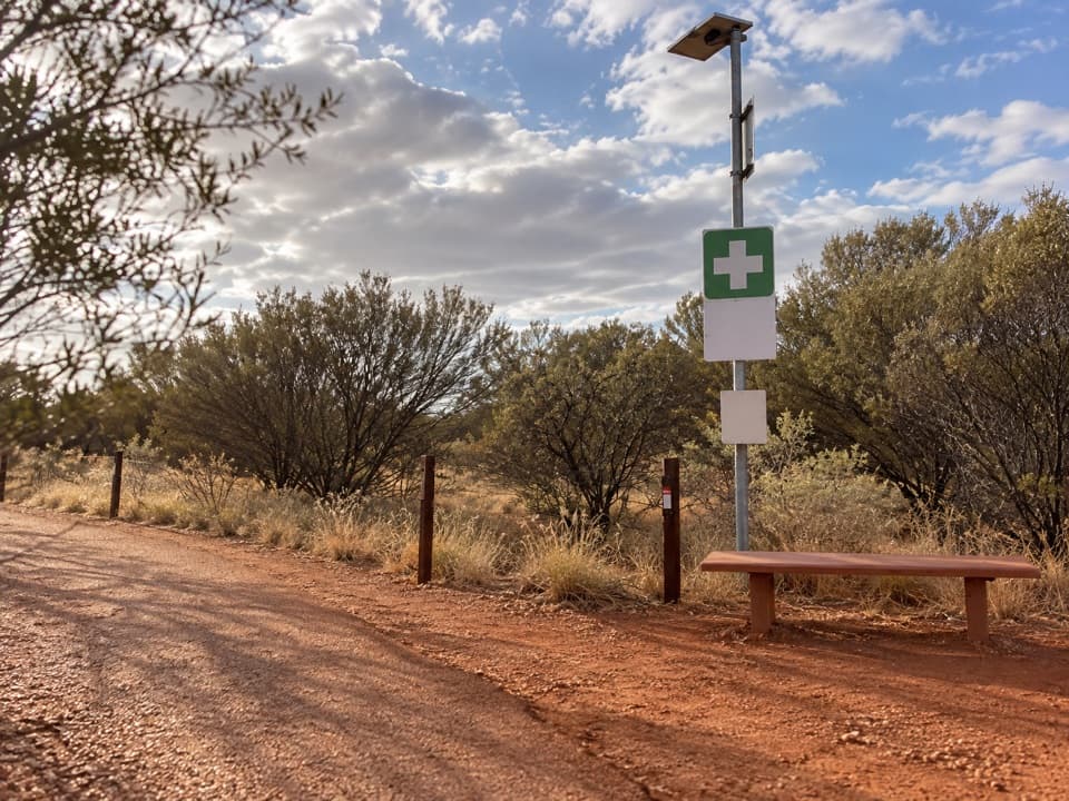 ChallengingValley of the Winds Full Circuit7.4 km · 4 hr · 1.7 km awayA rocky loop through Kata Tjuṯa’s valleys to two lookouts.
 ChallengingKaringaṉa Lookout Walk5.4 km · 2.5 hr · 1.7 km awayA steep return to the second lookout, harder than the full circuit.
 ModerateKaru Lookout Walk2.2 km · 1 hr · 1.7 km awayA short, rocky walk to the first Valley of the Winds lookout.
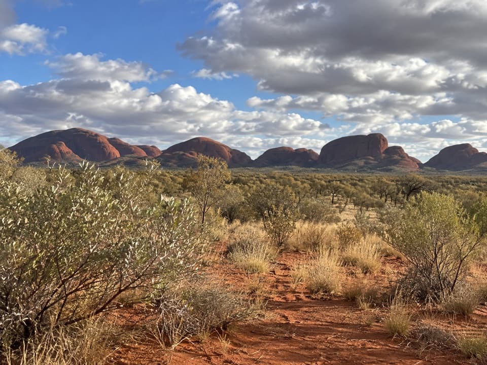 EasyKata Tjuṯa Dune Viewing Walk0.6 km · 30 min · 8.7 km awayA short, inclined boardwalk opens onto Kata Tjuṯa’s wide panorama.Sight · 1.4 km awayWaḻpa GorgeA short rocky walk ends at a seasonal stream between the domes.
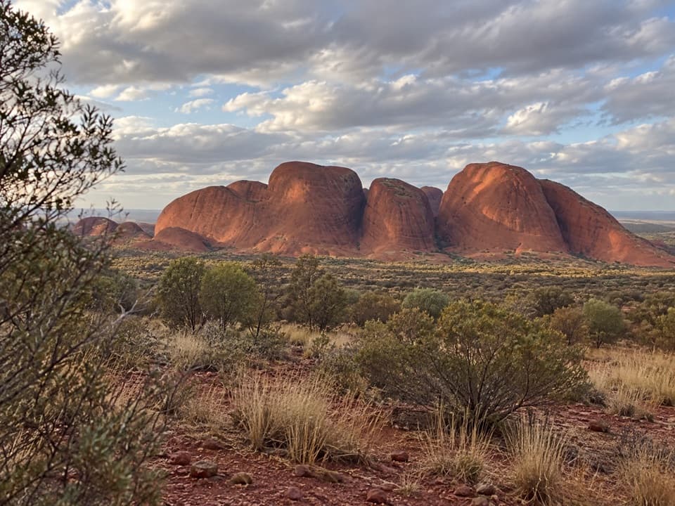 Sight · 1.7 km awayKata Tjuṯa Sunset Viewing AreaBring dinner; watch the domes change from pink to deep red.
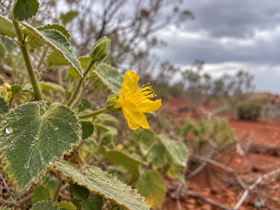 Sight · 2 km awayKaru LookoutFirst Valley of the Winds lookout; leave Kata Tjuṯa out of photos.
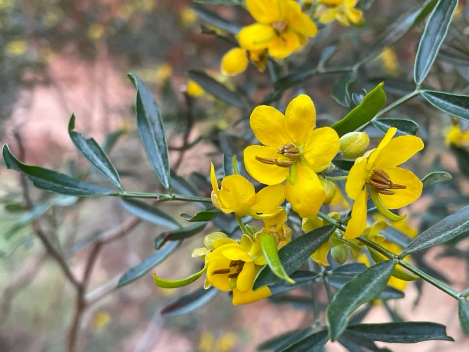 Sight · 2 km awayKaringaṉa LookoutA tough climb to a broad view across Kata Tjuṯa.
 Sight · 8.5 km awayKata TjuṯaThirty-six domes rise from the plain, with walks through their folds.
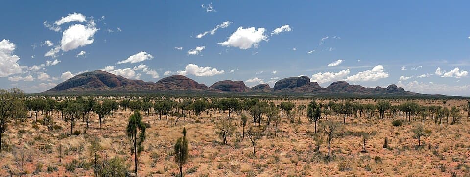 Sight · 8.5 km awayKata Tjuṯa Dune Viewing AreaSunset's usually quieter here, with 36 domes on the horizon.
Parkwolf’s Uluru-Kata Tjuta ranking

The audio tour guide for the drive, plus offline maps, trails, and wildlife heatmaps for when the signal drops.