Overview
About Karu Lookout
Why stop
- A worthwhile first viewpoint on a roughly one-hour return walk.
- A clear look into the valley from the first lookout.
Heads up
- Loose, rocky footing on the approach.
- No toilets are listed along the walk.
Map
Where it is

The highest, rockiest slopes around here are a summer buffet for grizzly bears.
Uluru-Kata Tjuta Tour Guide
Your drive to Karu Lookout, narrated.
Parkwolf is a GPS audio tour guide for Uluru-Kata Tjuta National Park. As you drive, it chimes in with what’s ahead: hidden gems, upcoming stops, history, geology, and wildlife, right through your car’s speakers.
See the Uluru-Kata Tjuta audio tourRecorded for this place
Valley of the Winds: Choose Your Walk“Up ahead is the Valley of the Winds trailhead, where you can walk between Kata Tjuṯa's domes. The full circuit is seven point four kilometres and takes three to four hours, with steep, rocky sections and many steps.”
Plays as you drive up to Karu Lookout in the Parkwolf Uluru-Kata Tjuta Tour Guide.
More stories near here in the app
- Waḻpa Gorge: Between the Domes
- Kata Tjuṯa Sunset Viewing Area: Bring Dinner
- Why the Hotels Moved
- A Calendar You Can Notice
- 40 audio storiesacross Uluru-Kata Tjuta’s roads, triggered by GPS as you drive
- Wildlife heatmapsfor Dromedary Camel, Black-breasted Kite, Brown Falcon, and 13 more
- Works offlinemaps, 15 trails, 28 places, and audio download before you lose signal
- CarPlay readysimple controls built for the drive
“Fantastic app with many points of information… It’s great to just turn on while you’re driving and it gives you an audio tour of the national Park. We love it!!!!”


Guide
More about Karu Lookout
The first lookoutKaru is the first lookout on the Valley of the Winds walk at Kata Tjuṯa.
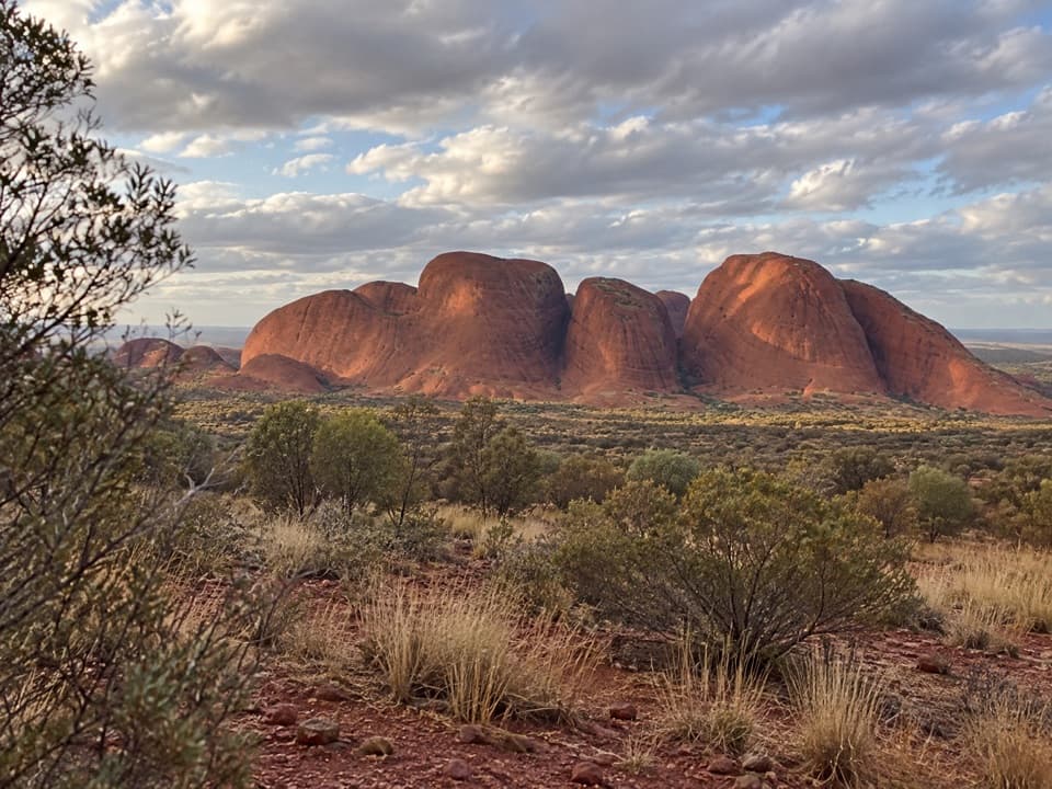
Karu is the first lookout on the Valley of the Winds walk at Kata Tjuṯa. The out-and-back from the trail start is 2.2 km and takes about an hour, ending on a rise with a view into a valley edged by the heads of the domes. It’s a good turnaround if you want the first viewpoint without taking on the longer circuit; Karingaṉa is a separate, farther lookout.
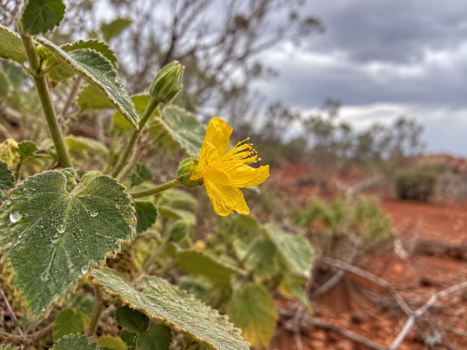
This is a culturally sensitive Aṉangu men’s area. Parks Australia asks visitors not to photograph or film Kata Tjuṯa or its rock formations anywhere on the walk. Close-up photos of flora, fauna and people are permitted, so keep the camera to those details.
The rocky approachThe Karu spur is moderately difficult, with loose rocks underfoot.
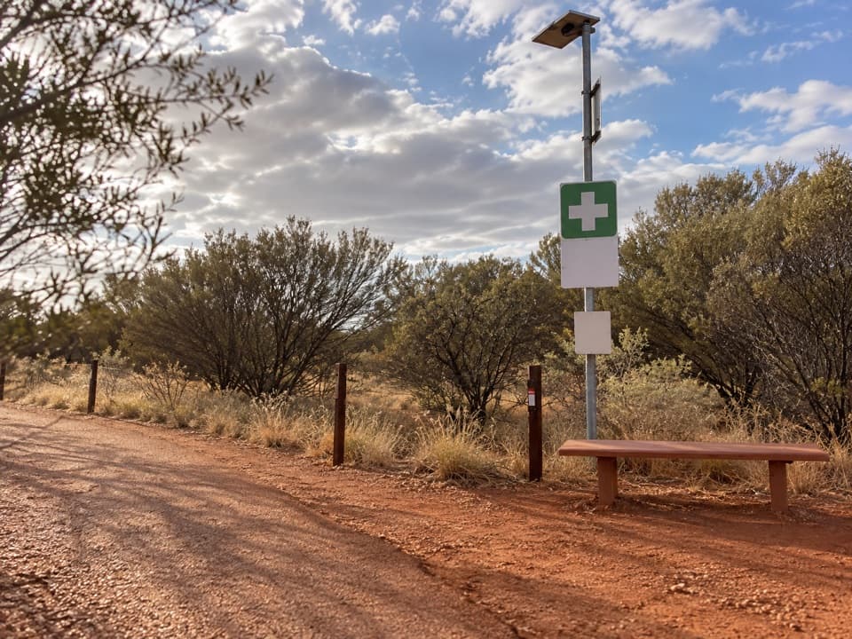
The Karu spur is moderately difficult, with loose rocks underfoot. Sturdy footwear is useful here. Drinking water is available at the start of the track, so fill up before you head out; Parks Australia lists no toilets along the walk.
How the domes formedKata Tjuṯa is conglomerate, made from pebbles and boulders, mostly granite and basalt, cemented…
Kata Tjuṯa is conglomerate, made from pebbles and boulders, mostly granite and basalt, cemented by sand and mud. Around 550 million years ago, rain carried rock from the former Petermann Ranges into broad fans on the plains. A later sea covered the area and buried the fans; pressure hardened the rocky sediment, then tectonic movement tilted it and erosion stripped away softer rock. That long process left the uneven domes around the valley.
The hot-weather cutoffWhen the forecast or actual temperature reaches 36°C or higher, Parks Australia closes the…
When the forecast or actual temperature reaches 36°C or higher, Parks Australia closes the Valley of the Winds walk at Karu from 11 am. Check current conditions before you set out; on a hot forecast, plan for the morning.
Wildlife
Wildlife in Uluru-Kata Tjuta
 32 sightingsDromedary CamelMost seen around 6 PMSighting map
 14 sightingsBlack-breasted KiteMost seen around 10 AMSighting map
 27 sightingsBrown FalconMost seen around 7 AMSighting map
 11 sightingsWestern Brown SnakeMost seen around 9 AMSighting map
 32 sightingsMain's FrogMost seen around 7 PMSighting map
 17 sightingsRed-backed KingfisherMost seen around 7 AMSighting map
Sighting maps show where each species has been reported across Uluru-Kata Tjuta. Wildlife moves, so no sighting is guaranteed.