Pros & cons
PROS
- Official visitor destination highlighting ancient Canadian Shield geology
- Scenic boat-in cliffs rising straight from Sand Point Lake
CONS
- Water-access only; no roads or trails
- No on-site amenities
Overview
Grassy Bay Cliffs is one of the park’s designated visitor destinations, set along the shoreline of Grassy Bay on Sand Point Lake. It’s all about the geology here: sheer rock faces plunging into clear water, with a wild, undeveloped vibe and fewer people than the park’s busier hubs.
What You'll See
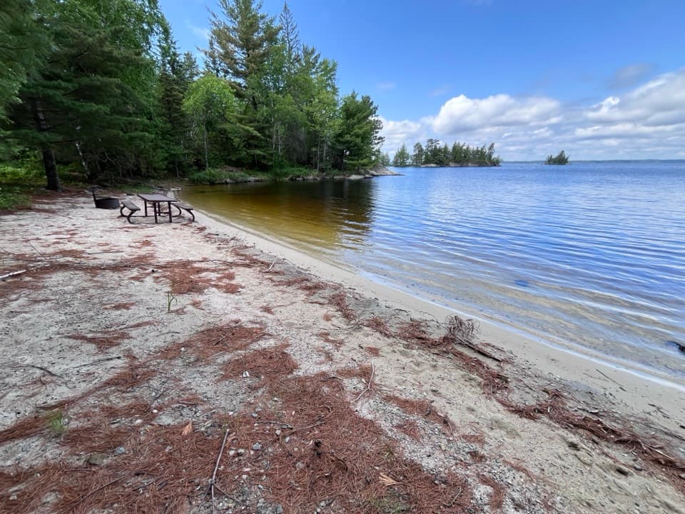
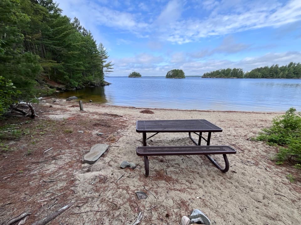
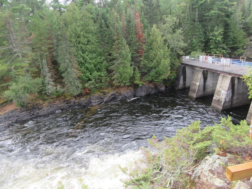
Expect dramatic, exposed cliff walls right at the water’s edge, classic Canadian Shield bedrock with fractures and textured surfaces that really pop in good light. The surrounding scene is all forested shorelines and island-dotted lake—simple, striking, and very photogenic.
Geology
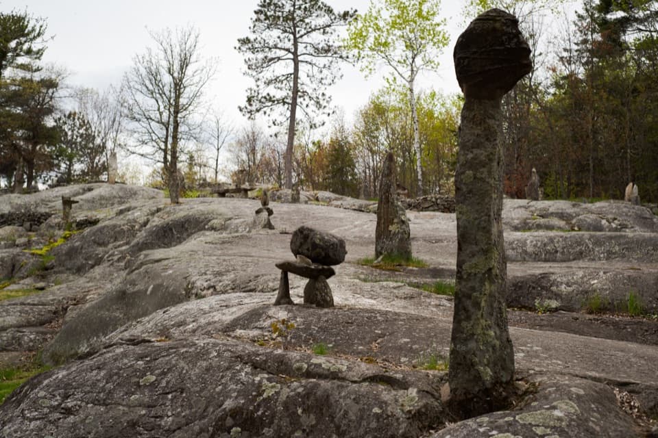
Voyageurs sits on the southern tip of the Canadian Shield, exposing some of North America’s oldest rocks. Around 2.8 billion years ago, repeated volcanic eruptions laid down ash and lava that built island arcs; later collisions stitched those arcs together into larger landmasses. The cliffs here are a front-row seat to that deep-time story.
Access & Logistics
There’s no road or trail to Grassy Bay Cliffs—reach it by boat, canoe, or kayak. There are no facilities on-site, so arrive self-sufficient and check conditions before you go; wind and weather can change fast on open water.
Best Time to Visit
Early morning or late afternoon brings the most flattering light on the rock and often calmer water. Summer can be buggy, so plan accordingly. Because it’s water-access only, it tends to feel quiet even in peak season.
Where it is
48.3950, -92.5385Tips for Grassy Bay Cliffs
- 01Reach it by boat, canoe, or kayak—there is no land access.
- 02Check wind and weather before you launch; open water can get rough.
- 03Early or late light shows off the rock textures best.
- 04Bring bug spray in summer and pack water and snacks—no facilities here.
Amenities
Near Grassy Bay Cliffs
All places →All trails →
2.9 mi awaySand Point LakeBoat-in lake with mapped campsites, houseboats, and solid fishingCampground
3.3 mi awayNamakan NarrowsScenic border narrows with rock art and frequent eagle sightingsRestroom · Picnic Table
4.8 mi awayMukooda LakeCrystal-clear, boat-in lake with trails, campsites, and troutTrailhead · Restroom
5.1 mi awayMukooda TrailRemote boat-in ridge-and-lake hike with solitude and historyModerate · 2.8 mi · 2.5 hr
7.1 mi awayKing Williams NarrowsQuiet boat-in campsites tucked in a scenic Sand Point Lake pinchCampground · Restroom
8.8 mi awayKettle Falls Overlook TrailBoat access stroll to classic border views near Kettle FallsEasy · 0.5 mi · 30 min
13.3 mi awayAnderson Bay TrailShort, boat-in loop to rare granite-cliff vistas over Rainy LakeChallenging · 2.5 mi · 2 hr
13.9 mi awayCruiser Lake TrailRemote, boat-in traverse across the Kabetogama PeninsulaChallenging · 18.6 mi · 10 hr