Junction Bay South Day-Use Area in Voyageurs National Park

Picnic area · Voyageurs National Park

Junction Bay South Day-Use Area

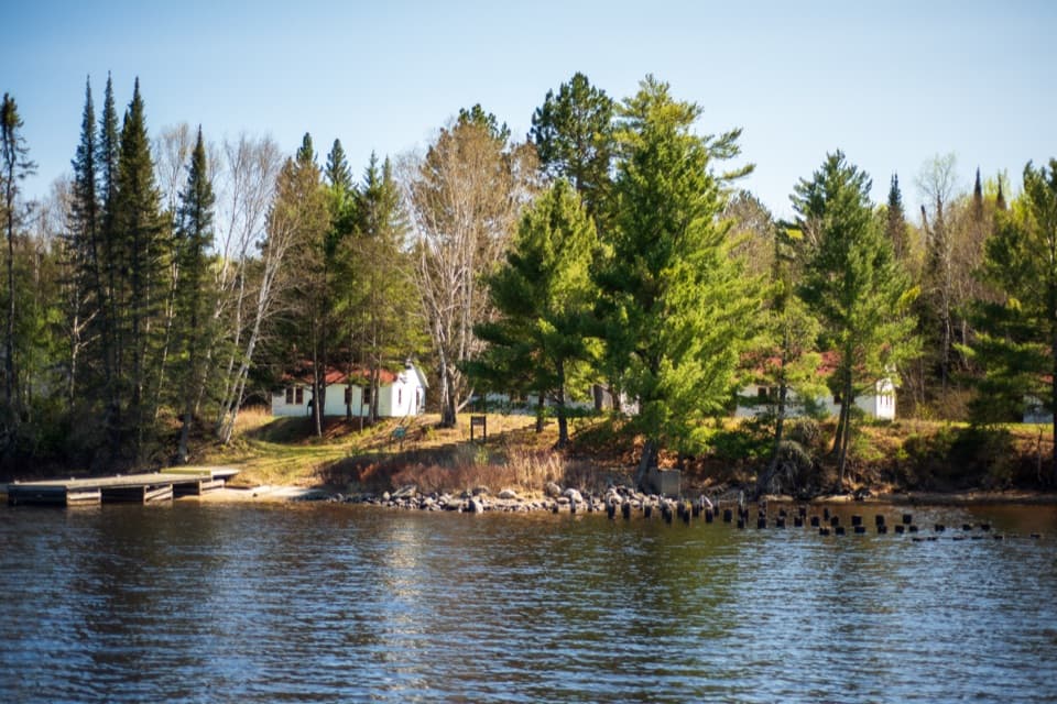
A Namakan picnic stop with tables, a fire ring and a privy.

Photo: National Park Service

Overview

About Junction Bay South Day-Use Area

Why stop

  • A straightforward shore break on Namakan

Map

Where it is

Loading the Voyageurs map
Full map
Picnic areaJunction Bay South Day-Use Area48.40791, -92.67220
Keep this map with you offline in the Parkwolf app

Plan your stop

Before you go

2 active Voyageurs alerts

  • ClosureDryweed Island-area sites closed for bear activitySeventeen campsites, houseboat sites, and a day-use site on Dryweed Island and nearby islands are closed through the end of October 2026 because of continued bear activity and unsafe bear-human…Official details
  • CautionNavigation markers and buoys absent on park lakesUse caution while boating on Rainy, Kabetogama, Namakan, and Sand Point Lakes because park hazard markers and secondary navigation aids have been removed, and most primary navigational buoys are also…Official details

Voyageurs alerts
A park ranger sits on a dash-mounted phone, talking, as Parkwolf’s Tour Guide plays “Army Cutworm Moths: A Grizzly Bear Buffet” on Grand Loop Road below Dunraven Pass in Yellowstone
Parkwolf Tour GuideThe highest, rockiest slopes around here are a summer buffet for grizzly bears.

Voyageurs Tour Guide

Your drive to Junction Bay South Day-Use Area, narrated.

Parkwolf is a GPS audio tour guide for Voyageurs National Park. As you drive, it chimes in with what’s ahead: hidden gems, upcoming stops, history, geology, and wildlife, right through your car’s speakers.

More stories near here in the app

  • An Otter Leaves a Slide
  • 29 audio storiesacross Voyageurs’s roads, triggered by GPS as you drive
  • Wildlife heatmapsfor Gray Wolf, Moose, Bald Eagle, and 13 more
  • Works offlinemaps, 19 trails, 49 places, and audio download before you lose signal
  • CarPlay readysimple controls built for the drive
★★★★★
“Fantastic app with many points of information… It’s great to just turn on while you’re driving and it gives you an audio tour of the national Park. We love it!!!!”
JMJamesApp Store review
Download Parkwolf on the App StoreGet Parkwolf on Google Play

4.7 from 8,600+ ratings

Guide

More about Junction Bay South Day-Use Area

A lake stop, not a roadside picnicJunction Bay South is a small day-use picnic site on Namakan Lake, marked N72.

Junction Bay South is a small day-use picnic site on Namakan Lake, marked N72. Its sand mooring makes it a practical place to get ashore for a meal or a stretch during a day on the water. Think of it as a brief pause, not a destination built around a long shore visit.

A simple setup ashoreA grassy clearing sits beside the water with two picnic tables and a fire ring.

A grassy clearing sits beside the water with two picnic tables and a fire ring. Steps climb through the trees to a privy. The shore and lake are the draw; the facilities are basic.

Check the current landingConfirm Junction Bay South on your current Voyageurs boating map before routing here.

Confirm Junction Bay South on your current Voyageurs boating map before routing here. The available waypoint details are old and do not verify today's access or facility conditions.

Wildlife

Wildlife in Voyageurs

All Voyageurs wildlife maps

Sighting maps show where each species has been reported across Voyageurs. Wildlife moves, so no sighting is guaranteed.

Parkwolf’s Voyageurs ranking

Top sights in Voyageurs

All 49 places
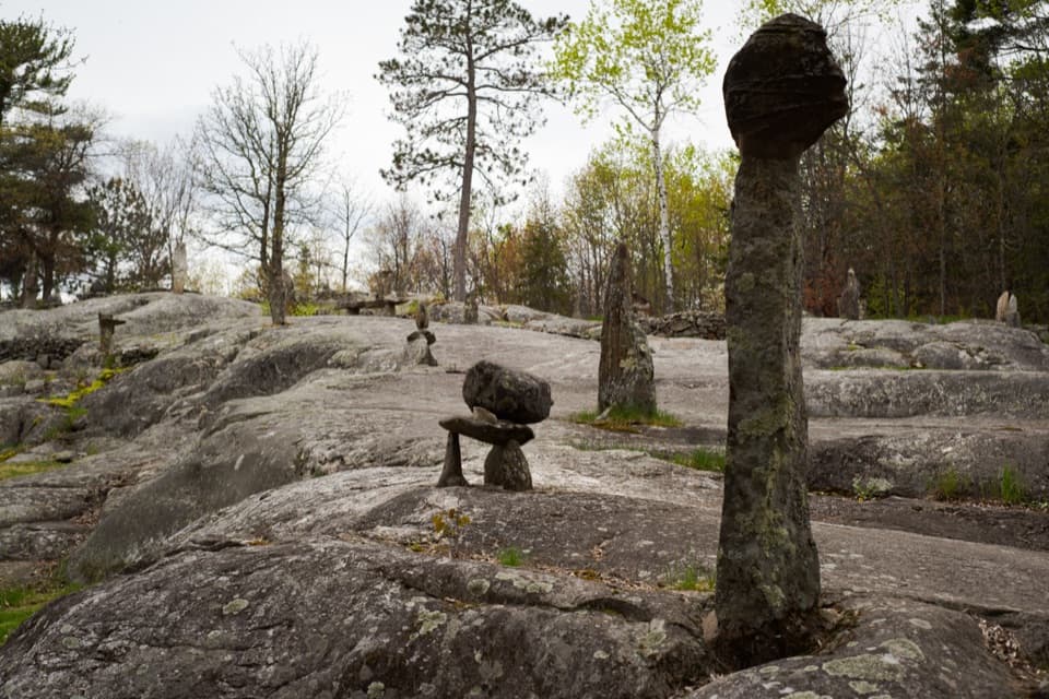
  1. 1Ellsworth Rock GardensSight
  2. 2Grassy Bay CliffsSight
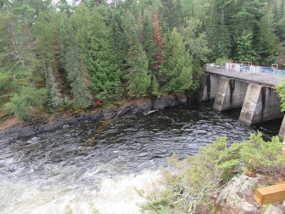
  3. 3Kettle Falls Dam OverlookSight
  4. 4Anderson BaySight
  5. 5Little American IslandSight
  6. 6I.W. Stevens ResortSight

Take Parkwolf to Voyageurs.

The audio tour guide for the drive, plus offline maps, trails, and wildlife heatmaps for when the signal drops.

4.7 from 8,600+ ratings

Download Parkwolf on the App StoreGet Parkwolf on Google Play