Namakan Lake

Vast border lake for boating, fishing, and quiet, island-dotted camps
Namakan Lake, Voyageurs National Park
InsideVoyageurs National Park

Overview

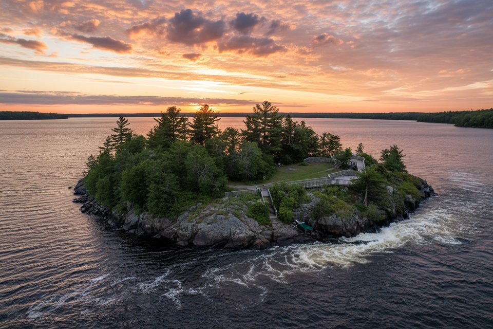
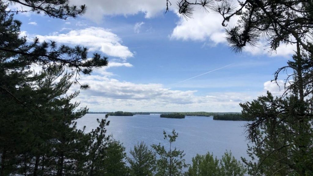
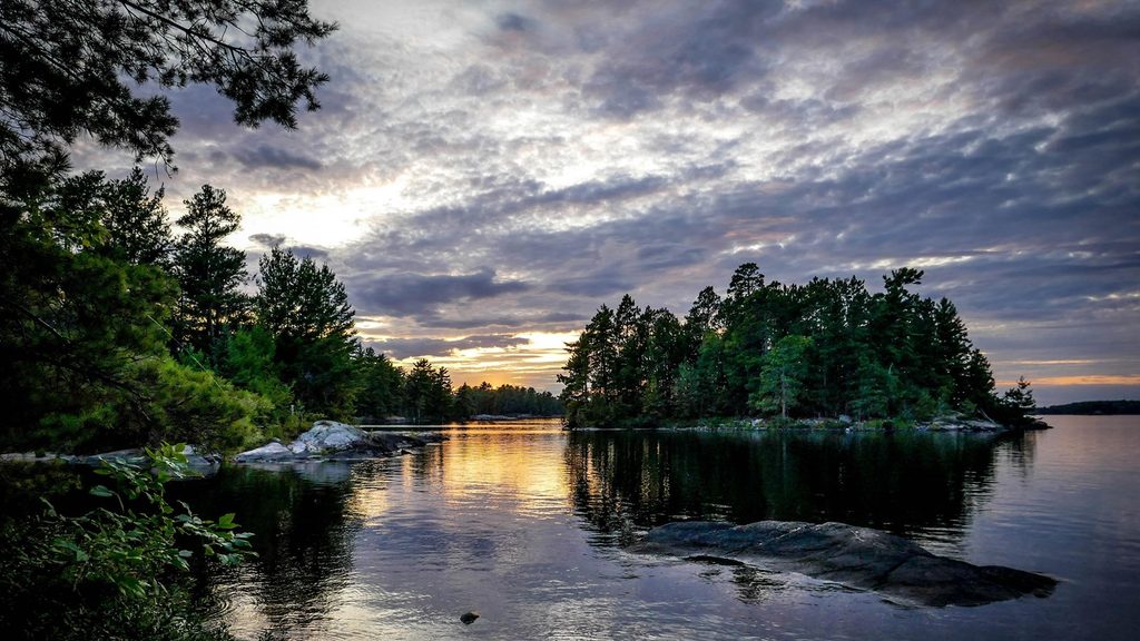
Namakan Lake is one of the park’s big border lakes—remote, scenic, and entirely water-based. You travel among rocky shorelines and evergreen islands with long views and few crowds. It links directly to Kettle Falls at its eastern outlet and connects to other major lakes, making it a classic Voyageurs experience.

Why it stands out

  • It straddles the international boundary, so you’ll literally cruise along the U.S.–Canada line.
  • Water levels are managed by the dam at Kettle Falls, which subtly shapes shorelines and approach depths through the season.
  • The lake’s size and roadless shoreline give it a genuine wilderness feel compared to more developed waters.

What you’ll see

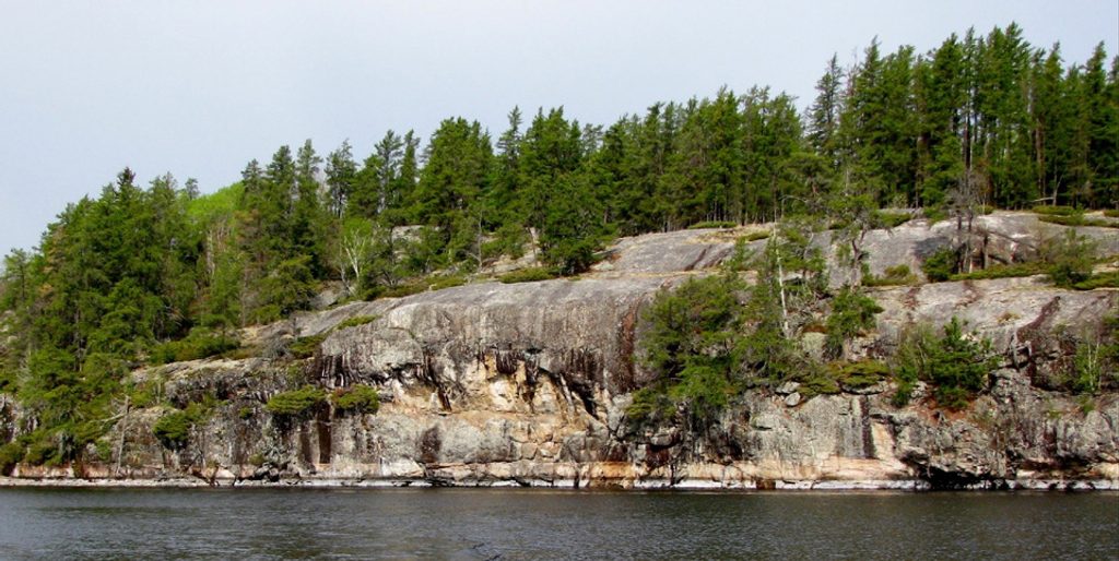
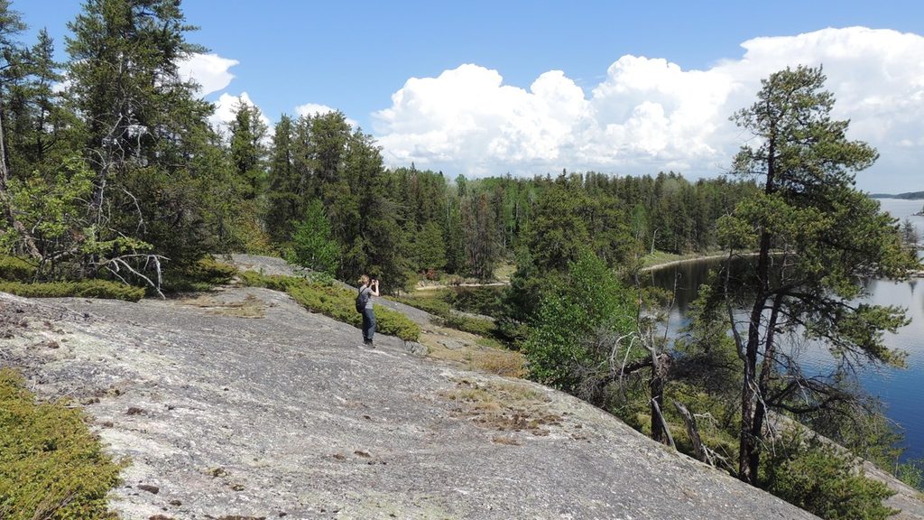
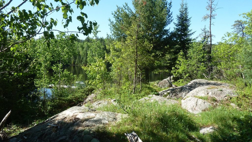
Expect boreal forest, wave-worn bedrock, and an archipelago of bays and islands. Wildlife watching is a highlight—eagles and loons are regularly spotted, with chances for bigger mammals in the surrounding country. Anglers target walleye, northern pike, smallmouth bass, and crappie. The Namakan Narrows is known for striking geology and ancient pictographs tucked into the rock.

Things to do

  • Boating and paddling: The lake is crisscrossed by reefs and marked buoys, with long, varied routes among islands and narrows.
  • Fishing: Productive waters for popular North Woods species.
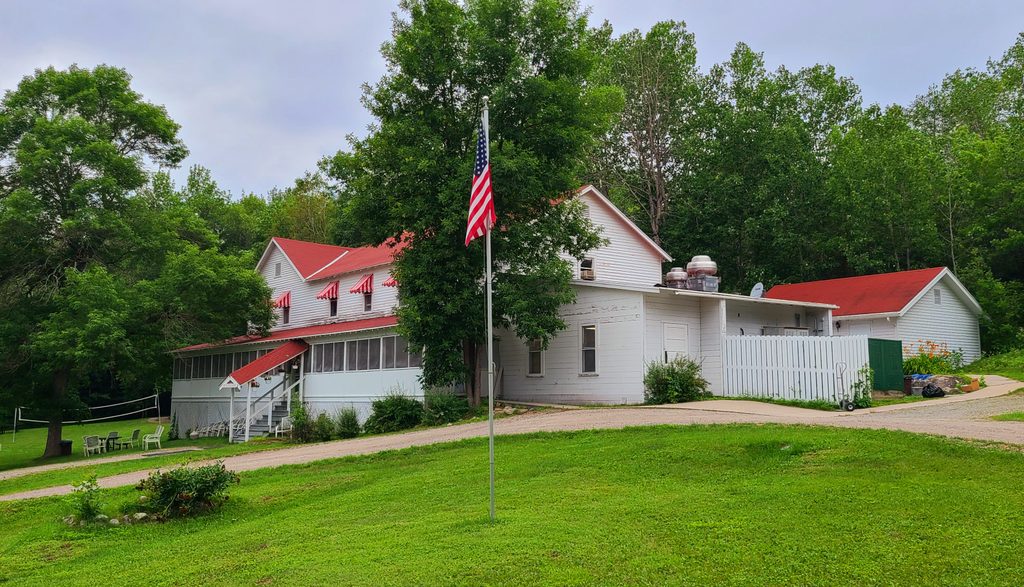
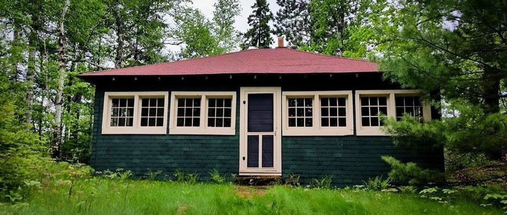
  • Camping: There are 42 designated frontcountry, boat-in campsites (permit required). All sites are reached by water—no road access.
  • Winter: When conditions allow, snowmobile trails traverse the area, opening up a very different way to explore.

Access and navigation

Reach Namakan by water from the Kabetogama, Ash River, or Crane Lake gateways. A purpose-made hydrographic chart is worth its weight here—reefs, buoys, portages, and campsites are all mapped. Because water levels are regulated, shallows and approaches can change; plan routes accordingly and give hazards a wide berth.

History and culture

The lake was a key corridor in the fur-trade era, which is the heritage baked into the park’s very name. Its own name derives from Ojibwe for sturgeon, hinting at deep cultural and ecological roots. Kettle Falls remains a compelling historic waypoint reachable only by water.

Geology

Precambrian bedrock forms the backbone of the shoreline and islands, sculpted by glaciers into today’s rugged, island-dotted basin. Rock art sites and the tight geometry of narrows reveal this history up close.

Practical notes

Seasonal restrooms are available, and potable water exists in limited locations; bring your own or a reliable filter. There are no food services on the lake. Expect mosquitoes and flies in late spring and summer, and store food securely to avoid bear encounters.

Best time to visit

  • Summer offers the easiest boating and camping conditions and the broadest access to campsites (book early).
  • Winter brings groomed snowmobile routes when conditions allow.
  • For calmer moments and softer light, aim for early or late in the day; weekdays tend to be quieter than weekends in peak season.

Pros

  • Expansive, island-dotted waters ideal for boating and paddling
  • Boat-in campsites deliver true solitude

Cons

  • Boat required—no road access
  • Reefs and regulated water levels demand attentive navigation

Tips

  • Carry a waterproof hydrographic chart (e.g., Fisher E‑20) showing reefs, buoys, and campsites.
  • Reserve boat-in campsites well ahead for peak summer dates.
  • Bring serious bug protection for late spring through summer.
  • Pack drinking water or a reliable filter; potable sources are limited.
  • If your route nears the international boundary, review current border and boating rules.
The Parkwolf tour guide sitting on a phone mounted in a car

Parkwolf Tour Guide

Like a tour guide in your car.

Save the places you found around Voyageurs, then let Parkwolf guide the drive between them.Download Parkwolf on the App Store