Place · 0 mi away
Moderate

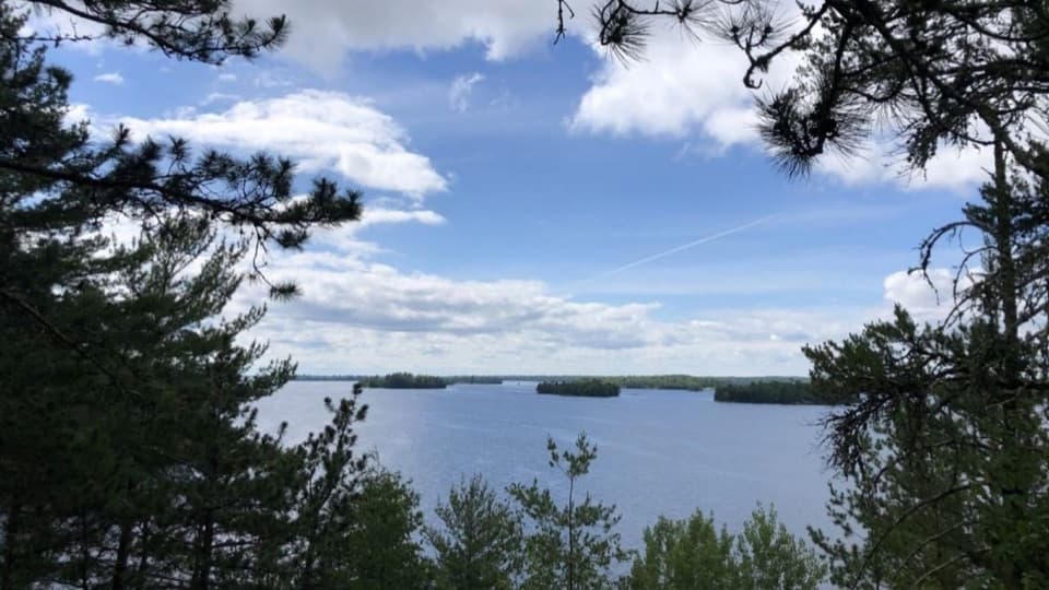
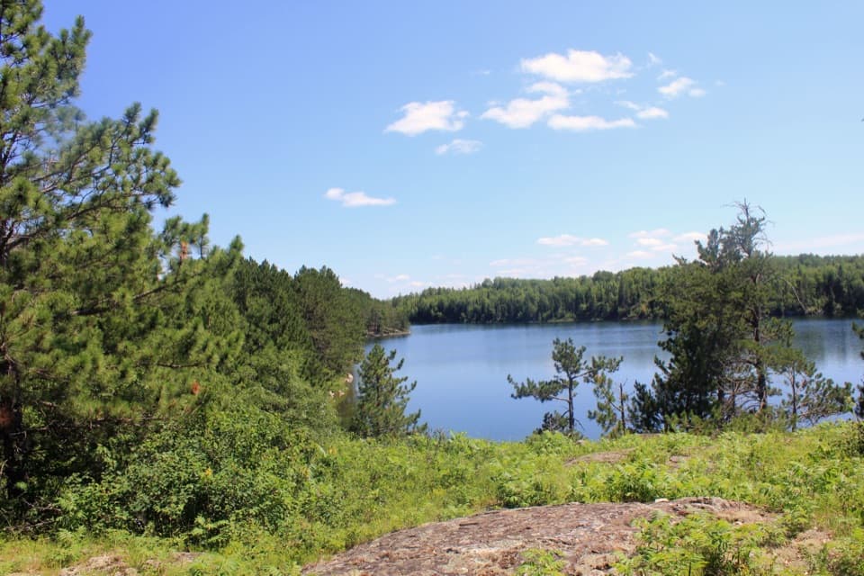
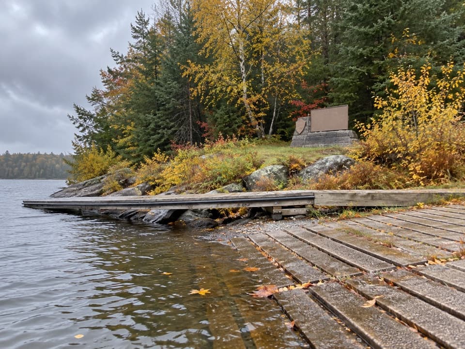
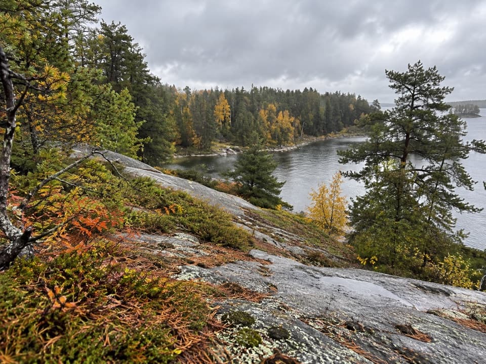
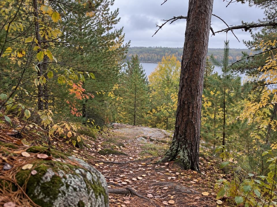
This is a 2.9-mile total lollipop loop that starts from the upper parking lot at the Ash River Visitor Center. It’s a land-access trail—no boat needed—and delivers classic Voyageurs scenery: rocky Canadian Shield outcrops, mossy boreal forest, and wide-open views over Blind Ash Bay and Kabetogama Lake. Expect a moderately challenging outing with uneven footing and a few short, steeper pitches.
From the signed trailhead by the upper lot, a short stem leads to the loop. The initial section is the steepest; if that’s not your jam, you can bypass it via the Kabetogama Lake Overlook trail before settling into rolling terrain. The singletrack is narrow and often rocky and rooty, with spots that turn slick when wet—especially near lakeside overlooks. Multiple viewpoints pop out to the water, offering photo-worthy looks at Blind Ash Bay and long vistas across Kabetogama. Plan 1.5–2 hours if you pause for photos and wildlife.
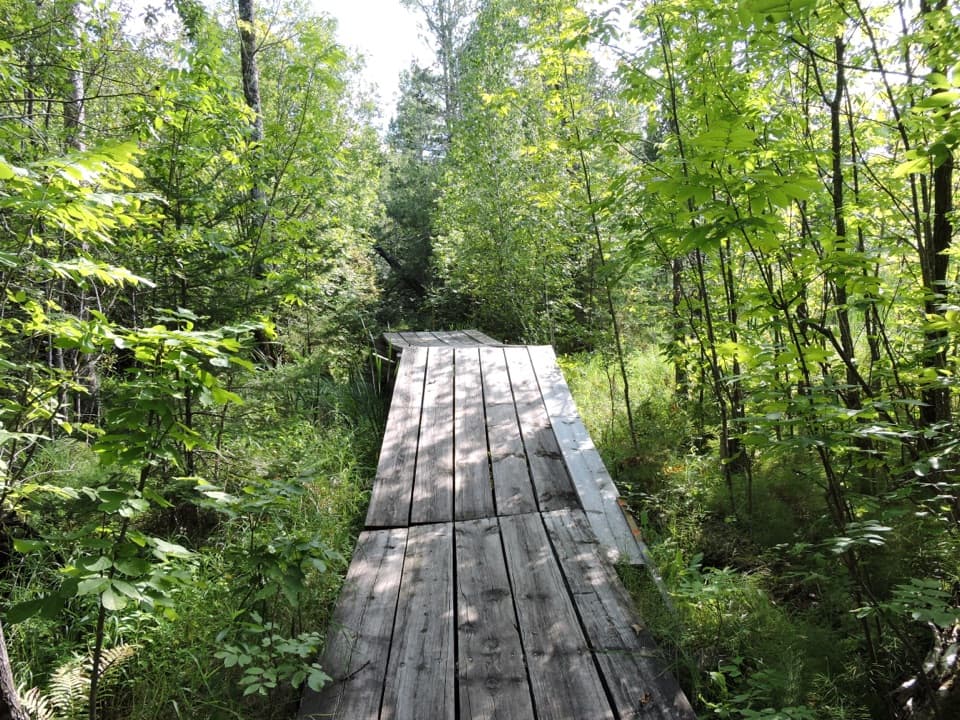
You’ll weave through dense boreal forest dotted with mosses, ferns, and seasonal wildflowers, then break onto rock ledges with water views. The area sees regular deer traffic and is good for birding; move quietly along the quieter stretches to up your odds of sightings.
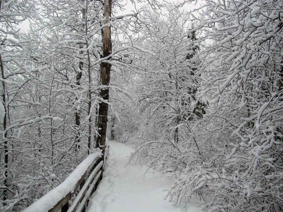
Spring through fall is prime for hiking, with cooler mornings offering the calmest water and softer light for photography. Summer brings more insects—bug spray helps. The Ash River area tends to be quieter than other park hubs, so even peak season can feel tranquil here, especially on weekdays or early/late in the day. In winter, the route is popular for snowshoeing when conditions allow.
Wear sturdy footwear—rocks and roots are the norm, and lake-adjacent viewpoints can be slick. At the first junction, follow signs for the loop; if you prefer to avoid the steep start, use the Kabetogama Lake Overlook connection to ease into the route. Give yourself time to enjoy the overlooks and listen for birds along the quieter forested stretches.
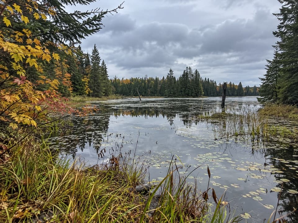
If you want more mileage from the same trailhead area, nearby routes like Sullivan Bay Trail, Beaver Pond Overlook, or segments of the Kab‑Ash Trail make easy add-ons from the Ash River network.
Park in the upper lot at the Ash River Visitor Center; the signed trailhead is at the lot’s edge.
Expect narrow, rocky tread with slick rock when wet and a few steep sections and drops near the water; the steep start can be bypassed via the Kabetogama Lake Overlook connector.