Parking
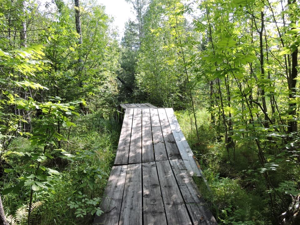
Lost Bay dock at the eastern end of Lost Bay on Kabetogama Lake; boat access only. Arrange the finish at Anderson Bay on Rainy Lake before setting out.
#7 of 19 trails in Voyageurs
Voyageurs National Park, MN
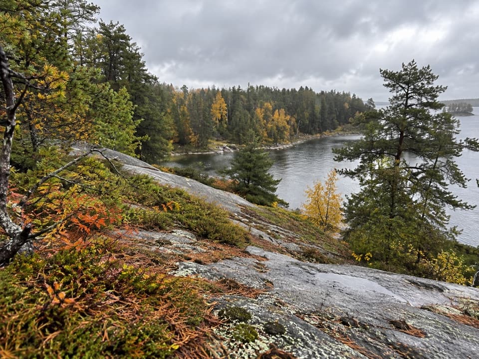
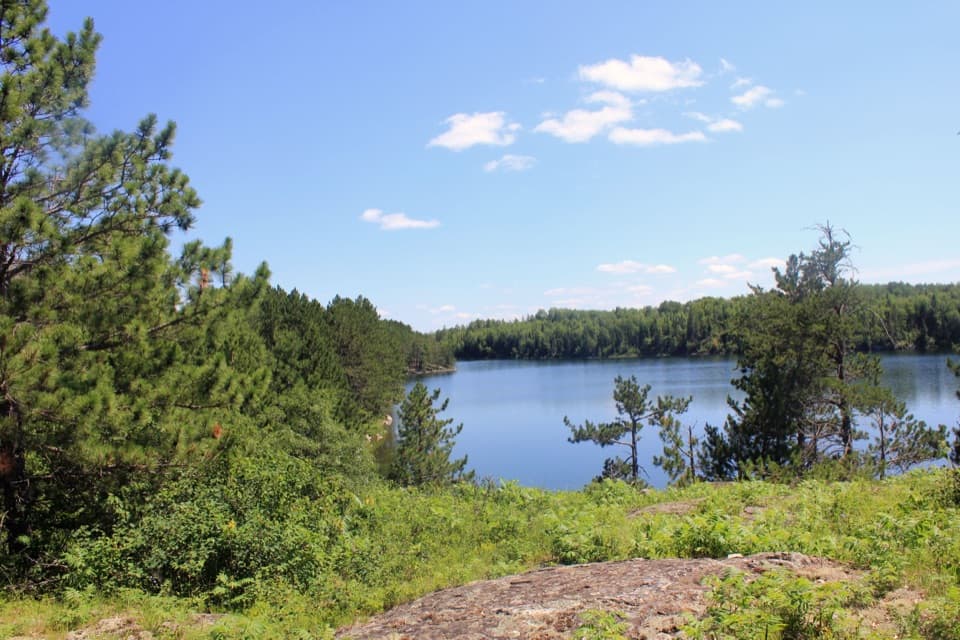
A boat-access traverse with a rocky view across Cruiser Lake.
Overview
Map & elevation
Plan your hike

The highest, rockiest slopes around here are a summer buffet for grizzly bears.
Voyageurs Tour Guide
Parkwolf is a GPS audio tour guide for Voyageurs National Park. As you drive, it chimes in with what’s ahead: hidden gems, upcoming stops, history, geology, and wildlife, right through your car’s speakers.
More stories near here in the app
“Fantastic app with many points of information… It’s great to just turn on while you’re driving and it gives you an audio tour of the national Park. We love it!!!!”


Trail guide
Cruiser Lake Trail is an 8-mile, one-way point-to-point hike across the Kabetogama Peninsula, from Lost Bay on Kabetogama Lake to Anderson Bay on Rainy Lake. The route crosses the peninsula rather than looping back to your start, and the official distance is one way. Allow four to eight hours on foot, then add boat travel. This is a full day for a strenuous remote walk, but it is a strong choice if you want to see the park's interior beyond the boat-access shoreline.
Both ends are docks reached only by boat. You'll need your own watercraft, a rental, or a water taxi, and a way to finish at Anderson Bay after starting on Kabetogama Lake. The park does not rent boats for those large lakes. Arrange both ends before setting out; in early and late season local transport can be harder to find. Vault toilets sit at each trailhead. Hiking itself has no fee and doesn't need a reservation, but an overnight backcountry campsite does. Spring access depends on lake ice-out; in a late year, boats may not reach these trailheads until mid-May.
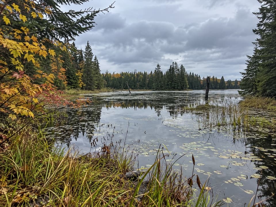
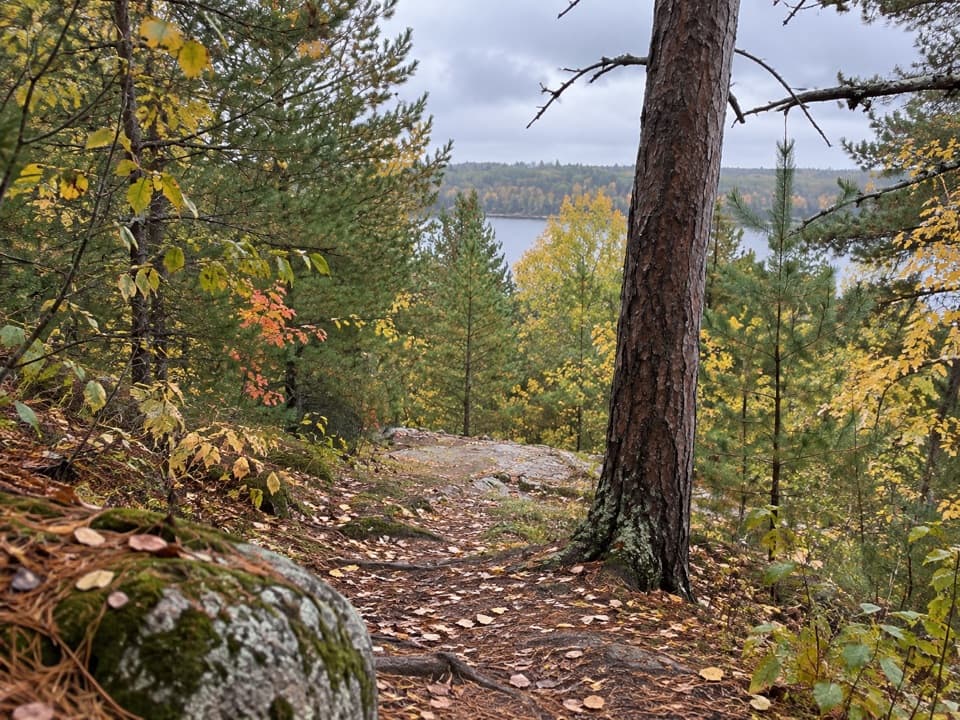
The trail climbs rocky cliffs and drops into remote wetland pockets across the peninsula. Expect steep ups and downs on a narrow dirt tread with rocks and roots underfoot; occasional downed trees may slow you further. The strenuous rating makes sense: don't choose this hike based on mileage alone. Build in the full four-to-eight-hour hiking range, and remember the route doesn't bring you back to the dock where you started.
The main traverse skirts Cruiser Lake's eastern shore, where the route reaches a rocky overlook above the water. Give yourself time to look across the lake and its pine-lined shore; this is the clearest payoff along the crossing. For a photo, keep a little of the ledge in the foreground so the rocky perch reads as part of the scene instead of another lake view.
The quiet interior is a good place to watch for moose and listen for wolves. The walk may improve your chances, but neither animal is a sure thing. Pets are not allowed on park trails, so leave dogs out of this hike.
Other trails branch through the same trail system, and an overnight campsite can turn a day crossing into a multi-day route. Those are separate additions to this 8-mile point-to-point line, not part of the distance above. If you want to add them, plan the extra miles and boat access deliberately; the main crossing already makes a substantial outing.
Wildlife
 10 sightingsGray WolfMost seen around 7 PMSighting map
 12 sightingsMooseMost seen around 7 AMSighting map
 67 sightingsBald EagleMost seen around 10 AMSighting map
 79 sightingsLoonMost seen around 6 AMSighting map
 41 sightingsWhite PelicanMost seen around 8 AMSighting map
 19 sightingsTrumpeter SwanMost seen around 6 PMSighting map
Sighting maps show where each species has been reported across Voyageurs. Wildlife moves, so no sighting is guaranteed.
Keep exploring
 EasyJorgens Lake Trail1 mi · 45 min · 1.4 mi awayA short boat access walk to a backcountry lake campsite.
 ModerateLittle Shoepack Lake Trail3.4 mi · 2 hr · 1.4 mi awayA remote forest walk that ends at a lakeshore canoe landing.
 EasyKabetogama Lake Overlook Trail0.4 mi · 20 min · 2.5 mi awayA short accessible path to a bench and a tree-framed lake view.
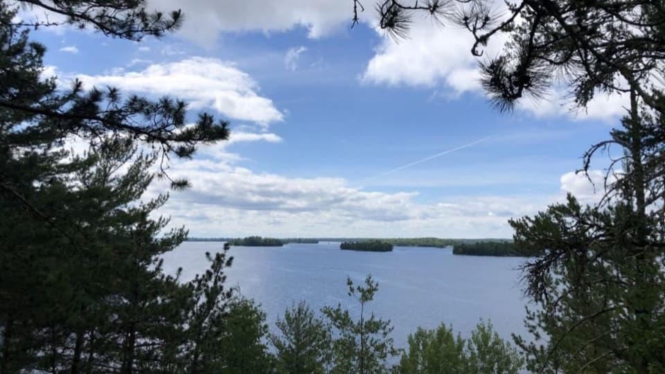 ModerateBlind Ash Bay Trail2.9 mi · 2 hr · 2.7 mi awayA rocky peninsula loop opens onto two very different lake views.
 EasySullivan Bay Trail1.3 mi · 1 hr · 3 mi awayA short forest road ends at a rocky bay overlook.
 ModerateBeaver Pond Overlook Trail0.4 mi · 20 min · 3.2 mi awayA short uphill walk to a rocky overlook above a beaver pond.
 ModerateBeast Lake Trail2.5 mi · 2.5 hr · 4.6 mi awayA remote ridge walk between two trailheads reached by boat.
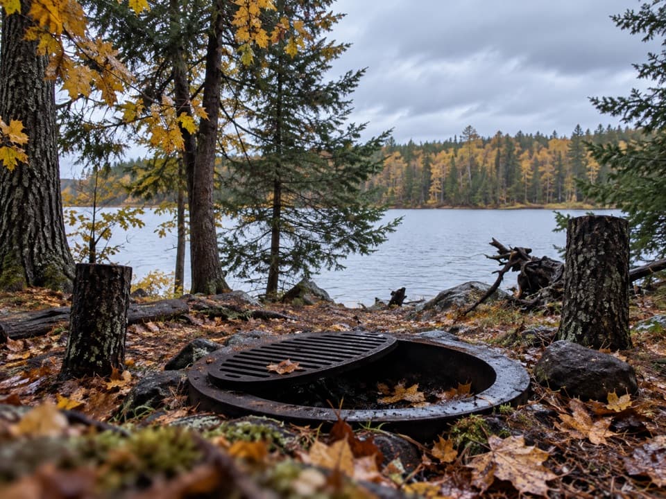 ModerateBrown Lake Trail from Anderson Bay5 mi · 3 hr · 5.2 mi awayA short lakeside spur reached by a long backcountry approach.
 Visitor center · 2.5 mi awayAsh River Visitor CenterHistoric lodge, lake views, and an easy start to Ash River.
 Sight · 2.7 mi awayKabetogama Lake OverlookA short forest walk to a tree-framed lake view.
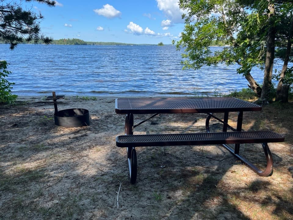 Picnic area · 3 mi awayRound Bear Island Day-Use AreaA sandy picnic landing for a boat break on Kabetogama Lake.
 Sight · 3.2 mi awayBeaver Pond OverlookA short climb to an open view over a beaver pond.
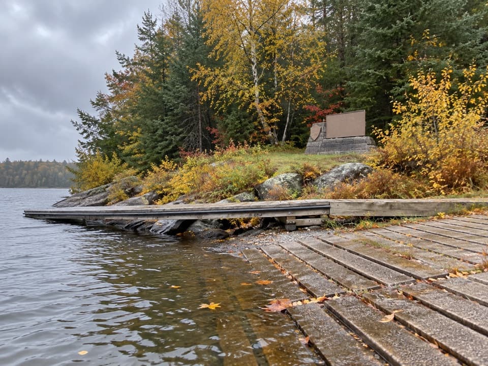 Beach · 3.7 mi awayShoepack BeachBreak up a boat day with a picnic on the shore.
 Sight · 3.8 mi awayI.W. Stevens ResortHistoric cabins, a sauna, and a glimpse of island self-reliance.
 Campground · 4.1 mi awayAsh River CampgroundA simple landing-side base for getting out on the lakes.
 Picnic area · 4.1 mi awayVoyageurs Forest OverlookA dark-sky picnic stop, with a tree-screened daytime overlook.
Parkwolf’s Voyageurs ranking

The audio tour guide for the drive, plus offline maps, trails, and wildlife heatmaps for when the signal drops.