Place · 3.3 mi away

Twin Lakes sits in a high subalpine basin west of Kishinena Peak, a pair of close-by lakes tucked along the Tamarack Trail corridor. You don’t drive here—you earn it—so expect real solitude, mountain backdrops, and that satisfying end‑of‑the‑day stillness you only get deep in the backcountry.
Most hikers reach Twin Lakes from the Red Rock Canyon side via Blakiston Valley, then continue west over the Bauerman Divide and down Blue Grouse Basin to complete a long loop. It also links with the broader Tamarack Trail system and side trails to nearby passes and ridges. However you slice it, it’s a full, committing day or a backpack—plan accordingly.
Deer are common, and both black and grizzly bears roam the area, along with smaller mammals and a variety of birds. Carry bear spray, travel smart, and keep a clean camp.
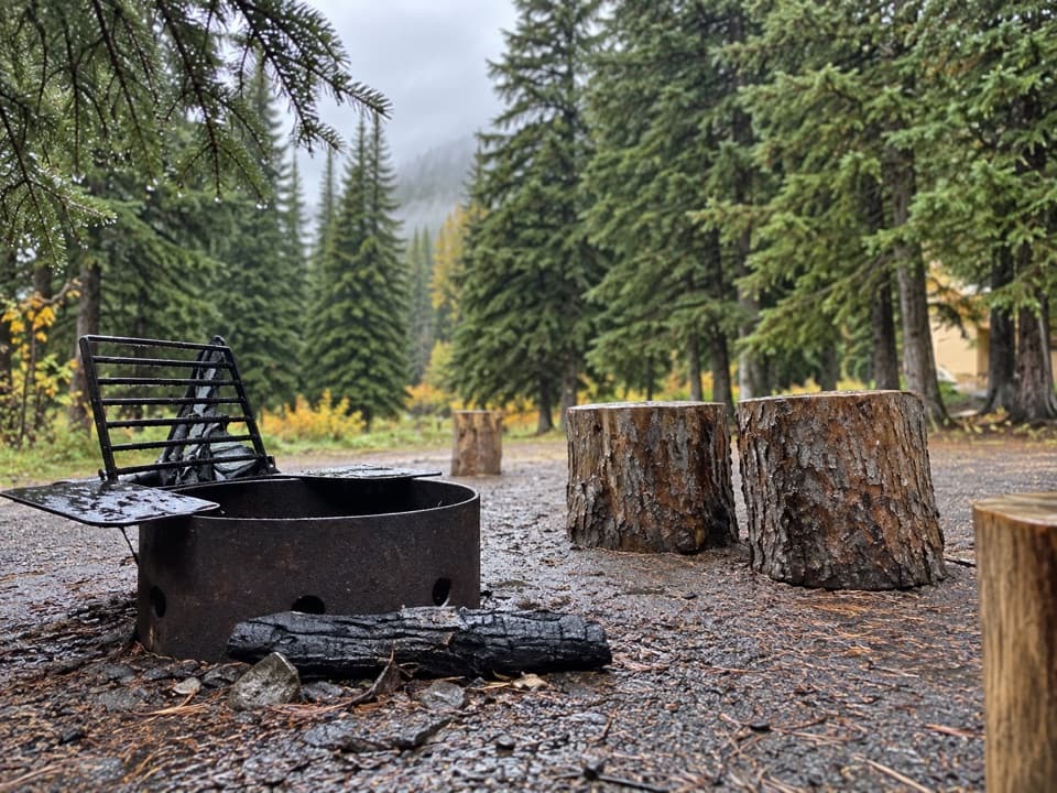
Twin Lakes has a designated backcountry campground with tent pads and a basic pit/vault toilet. There are no services: treat lake water, hang or otherwise secure your food, and pack out everything. Overnighting requires a backcountry permit obtained through the Parks Canada Visitor Centre.
This is a long, remote objective with most elevation clustered on the west end of the loop. Weather changes fast; navigation is straightforward but you’re a long way from help. Bring layers, a map/GPS, enough food, and a solid turnaround plan.
If you want Waterton’s wilder side—away from cars and crowds—Twin Lakes delivers. It’s not a casual stroll; it’s for hikers who like earning their lakes, camping under stars, and waking up to still water and ridge silhouettes.