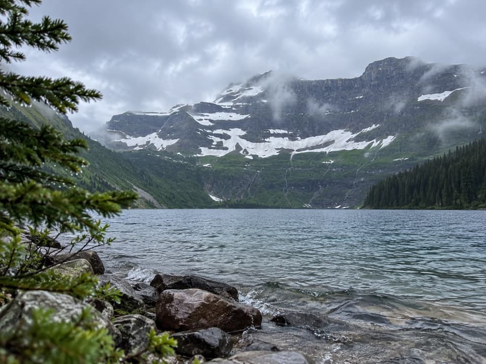
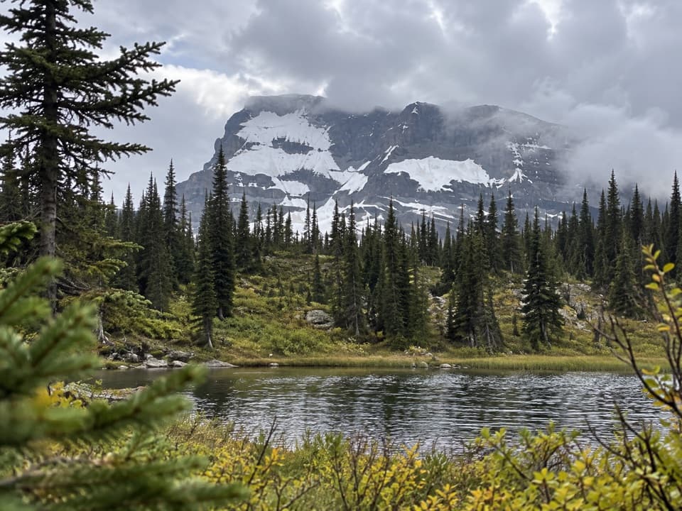
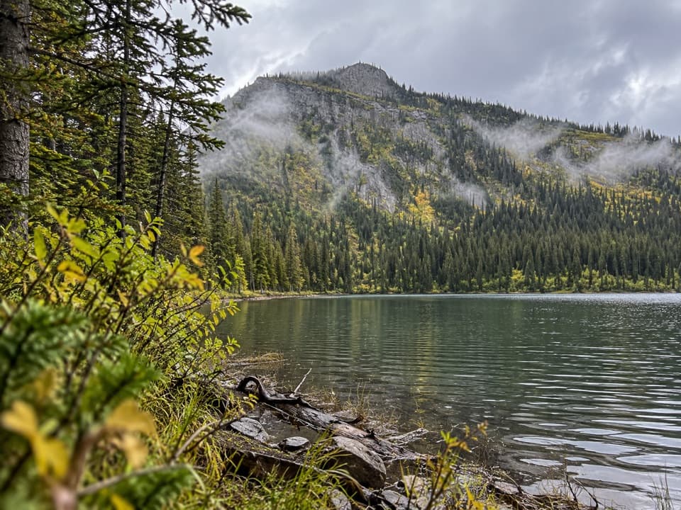
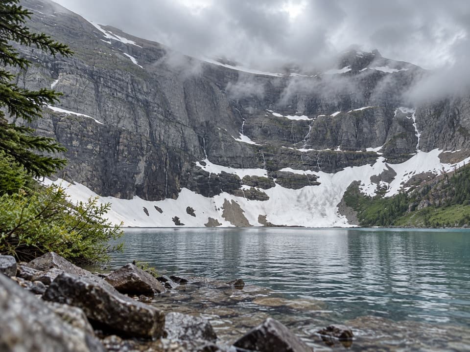
Cameron Lake in Waterton Lakes National Park

#4 of 28 sights in Waterton Lakes

Sight · Waterton Lakes National Park

Cameron Lake

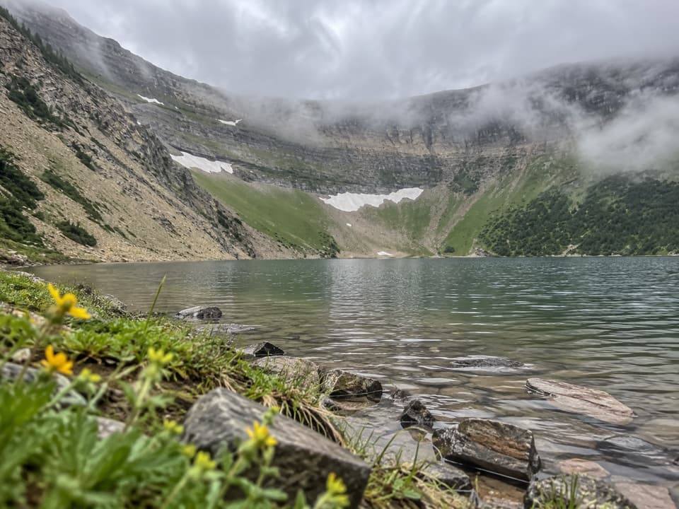
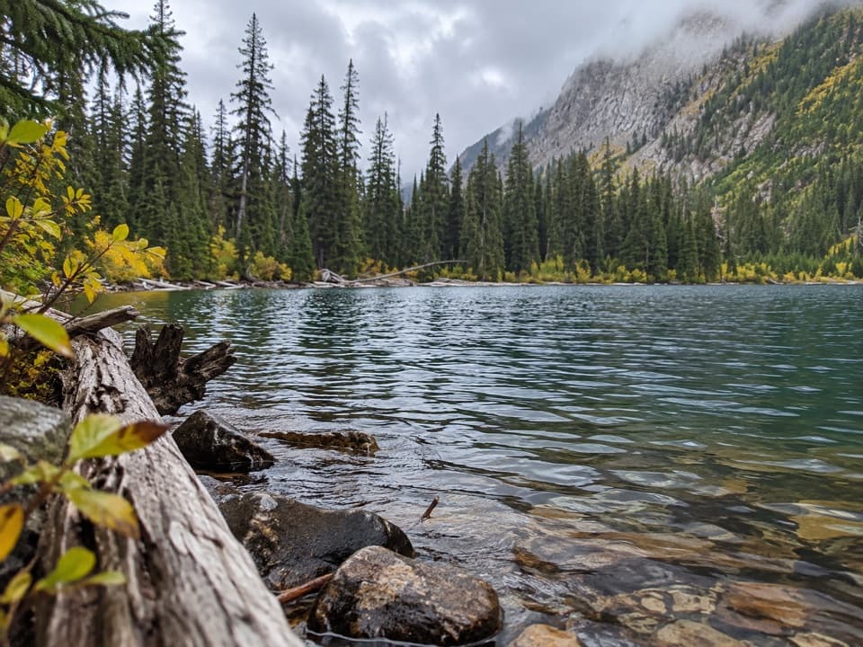
Mountain reflections right at the parking area.

Photo: Wikimedia Commons
Type
Sight
Nearest trail
Right here
Audio stories
3 nearby
  • Trailhead
  • Parking
  • Restrooms
  • Exhibit

Hear the audio tour

Cameron Lake

Overview

About Cameron Lake

Why stop

  • You can see the lake right away and stretch the visit into a paddle or hike.

Heads up

  • The narrow access road can be congested on summer weekends.

Map

Where it is

Loading the Waterton Lakes map
Full map
SightCameron Lake49.01965, -114.04500
Keep this map with you offline in the Parkwolf app

Plan your stop

Before you go

7 active Waterton Lakes alerts

  • ClosureBelly River Campground closedBelly River Campground is closed to all traffic and travel because a carcass is in the area. - Violators may be charged under the Canada National Parks Act, with a maximum penalty of $25,000.Official details
  • ClosureBlakiston Fan closed to protect rutting elkThe Blakiston Fan area is closed to traffic and travel to prevent disturbance of elk rutting there.Official details

See all 7 alerts
A park ranger sits on a dash-mounted phone, talking, as Parkwolf’s Tour Guide plays “Army Cutworm Moths: A Grizzly Bear Buffet” on Grand Loop Road below Dunraven Pass in Yellowstone
Parkwolf Tour GuideThe highest, rockiest slopes around here are a summer buffet for grizzly bears.

Waterton Lakes Tour Guide

Your drive to Cameron Lake, narrated.

Parkwolf is a GPS audio tour guide for Waterton Lakes National Park. As you drive, it chimes in with what’s ahead: hidden gems, upcoming stops, history, geology, and wildlife, right through your car’s speakers.

See the Waterton Lakes audio tour

Recorded for this place

Cameron Lake
0:00 / 0:31
“Cameron Lake is coming up at the end of Akamina Parkway. You can reach the shore straight from the parking area, so make this stop even if you don’t want a hike.”

Plays as you drive up to Cameron Lake in the Parkwolf Waterton Lakes Tour Guide.

More stories near here in the app

  • Akamina Pass and Wall Lake
  • Little Prairie Day Use Area
  • Rowe Lakes Trailhead
  • Lineham Falls Trailhead
  • 51 audio storiesacross Waterton Lakes’s roads, triggered by GPS as you drive
  • Wildlife heatmapsfor Bison, Black Bear, Elk, and 13 more
  • Works offlinemaps, 47 trails, 70 places, and audio download before you lose signal
  • CarPlay readysimple controls built for the drive
★★★★★
“Fantastic app with many points of information… It’s great to just turn on while you’re driving and it gives you an audio tour of the national Park. We love it!!!!”
JMJamesApp Store review
Download Parkwolf on the App StoreGet Parkwolf on Google Play

4.7 from 8,600+ ratings

Guide

More about Cameron Lake

A lake you can reach without hikingCameron Lake is a subalpine lake at 1,660 metres, at the end of the 16 km Akamina Parkway…

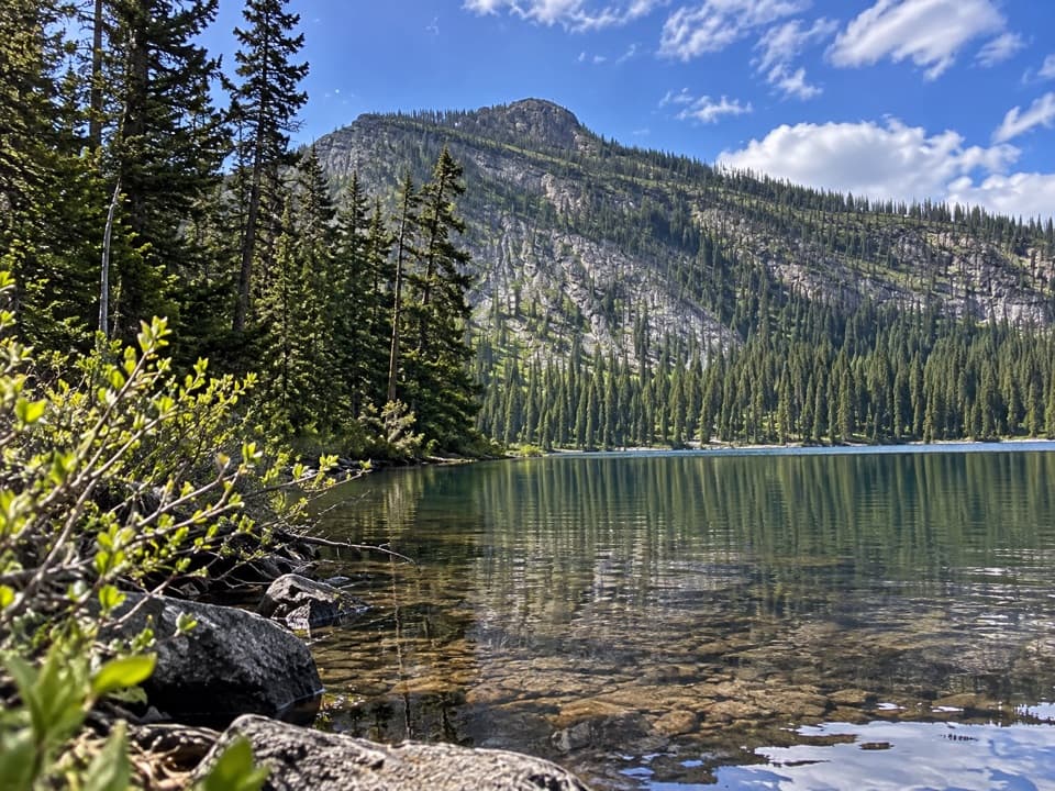
Cameron Lake is a subalpine lake at 1,660 metres, at the end of the 16 km Akamina Parkway beneath steep, layered mountains. The lake and its reflections are the reason to stop, and you can reach the shore right from the parking area. I’d make time for it even if you’re not planning a paddle or a hike.

Go early for the reflectionsWhen the water is calm, the mountain wall reflects across the lake.

When the water is calm, the mountain wall reflects across the lake. Early morning is your best chance to catch that mirror and often means fewer people along the shore; wind can roughen the surface quickly. The narrow Akamina Parkway can get congested, especially on summer weekends, so a weekday or an early or later drive is easier.

Walk the shore or get on the waterThe Cameron Lakeshore Trail follows the western shore for about 1.

The Cameron Lakeshore Trail follows the western shore for about 1.6 km one way, giving you a closer look without committing to a long hike. The Carthew-Alderson trail also starts here if you’re planning a longer day on foot. Local businesses offer boat rentals in the warm season; check current availability if paddling is the main reason for your stop. Parks Canada does not allow non-motorized watercraft brought from outside the park to launch here, so check its current rules before bringing your own.

Picnic-area basicsThe day-use area has six picnic tables, a partially enclosed shelter, dry toilets and…

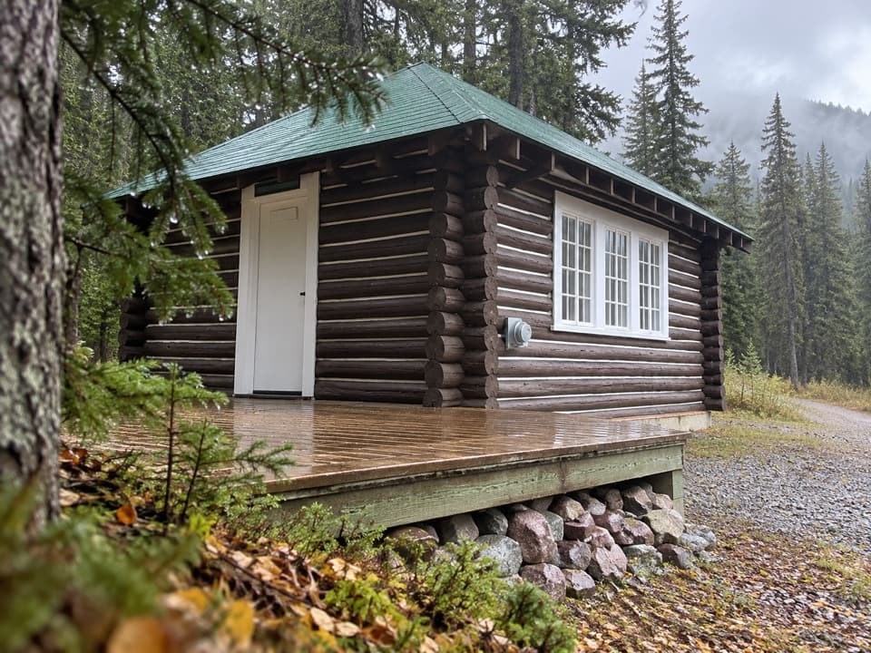
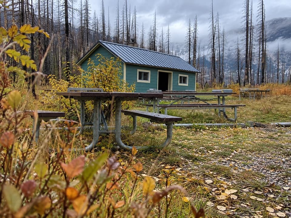
The day-use area has six picnic tables, a partially enclosed shelter, dry toilets and interpretive exhibits. It’s an easy place to spread out lunch beside the lake, with public parking at the parkway’s end.

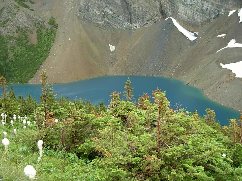
A bowl carved by iceCameron Lake sits in a cirque, a bowl-shaped hollow carved by glacier ice.

Cameron Lake sits in a cirque, a bowl-shaped hollow carved by glacier ice. The surrounding mountains are part of Waterton’s unusual geology: some of the park’s rocks began as sediment on an ancient sea floor about 1.5 billion years ago, and the Lewis Thrust later pushed older rock over younger layers. The lake sits on the Continental Divide at Alberta’s southwest corner.

Where the name Cameron came fromThe lake was named for Maj.-Gen.

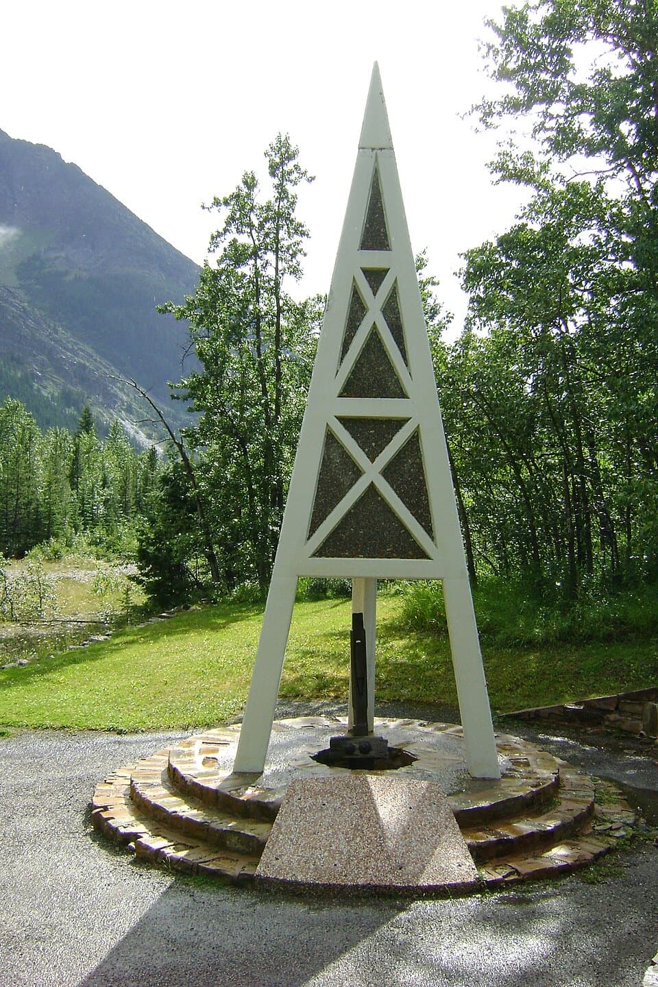
The lake was named for Maj.-Gen. Donald Roderick Cameron, a British boundary commissioner who oversaw the Canada-U.S. border survey from Lake of the Woods to the Rockies between 1872 and 1876. The lake’s name was officially adopted in 1928. Older maps called it Oil Lake, after oil seepage and exploration in the area; the First Oil Well in Western Canada historic site is farther along the parkway, not at the lake shore.

The road was built to reach the lakeConstruction on the Akamina Parkway began in 1921, and the road opened all the way to Cameron…

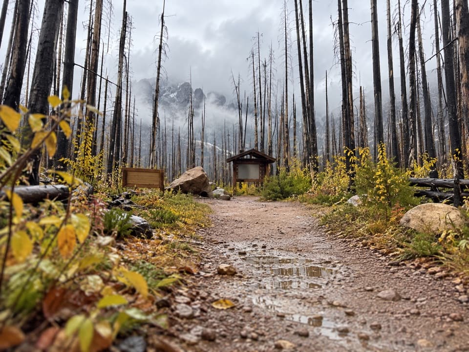
Construction on the Akamina Parkway began in 1921, and the road opened all the way to Cameron Lake in 1927. The 2017 Kenow wildfire significantly damaged the Cameron Valley and parkway; later repairs included paving, guardrails, trailhead work and hazard-tree removal.

Winter changes the approachThe parkway remains open in winter, but vehicles usually stop at Little Prairie, leaving the…

The parkway remains open in winter, but vehicles usually stop at Little Prairie, leaving the last 3 km to the lake for skiing or snowshoeing. Snow clearing can bring temporary morning closures, so check current road conditions before you set out.

Wildlife

Wildlife in Waterton Lakes

All Waterton Lakes wildlife maps

Sighting maps show where each species has been reported across Waterton Lakes. Wildlife moves, so no sighting is guaranteed.

Keep exploring

Near Cameron Lake

See it all on the map

Trails nearby

More stops nearby

Parkwolf’s Waterton Lakes ranking

Top sights in Waterton Lakes

All 70 places
  1. 1Prince of Wales Hotel National Historic SiteSight
  2. 2Red Rock CanyonSight
  3. 3Cameron FallsSight
  4. 5Bear’s HumpSight
  5. 6Bison PaddockSight
  6. 7Crypt LakeSight

Take Parkwolf to Waterton Lakes.

The audio tour guide for the drive, plus offline maps, trails, and wildlife heatmaps for when the signal drops.

4.7 from 8,600+ ratings

Download Parkwolf on the App StoreGet Parkwolf on Google Play