
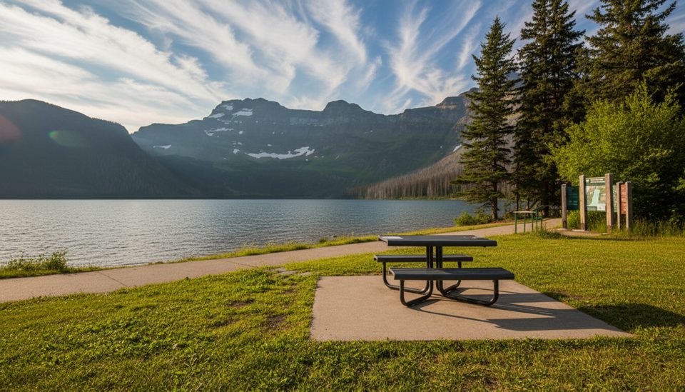
Place · 0 mi away
Challenging
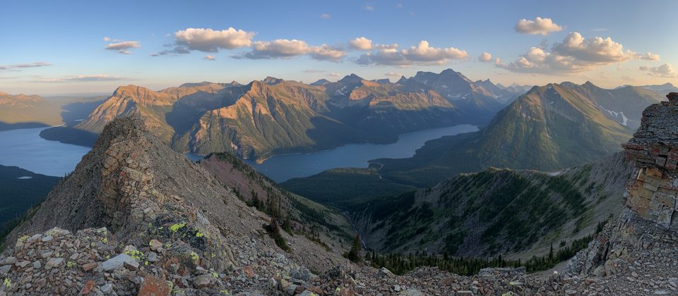
This is a rugged, rewarding scramble for experienced hikers who want a big day with real route‑finding. You’ll start at the Bertha Lake Trailhead near the Waterton townsite and hike the well‑built trail to Bertha Lake (about 5.3 km with ~500 m gain just to the lake). From there, continue around the lake (clockwise is common) to the far end to pick up the unofficial line to Mount Richards. Total outing is roughly 20–21 km round‑trip (about 13 miles), including the approach and descent.
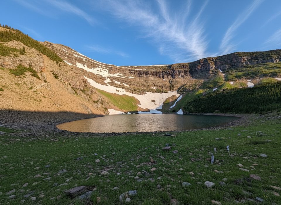
Expect a dramatic shift in character once you leave the maintained path. A faint side trail leads through brush to the base of steep slopes marked by occasional cairns. The standard line climbs beside twin meltwater cascades, then angles into boulder and scree to a col between Mount Richards and “Little Richards.” The upper slopes involve moderate to difficult scrambling on loose scree and talus, with exposure in places and meaningful route decisions. Many parties bypass the more exposed ridge bits on the east side via scree paths; no technical climbing is required if you choose the standard bypasses.
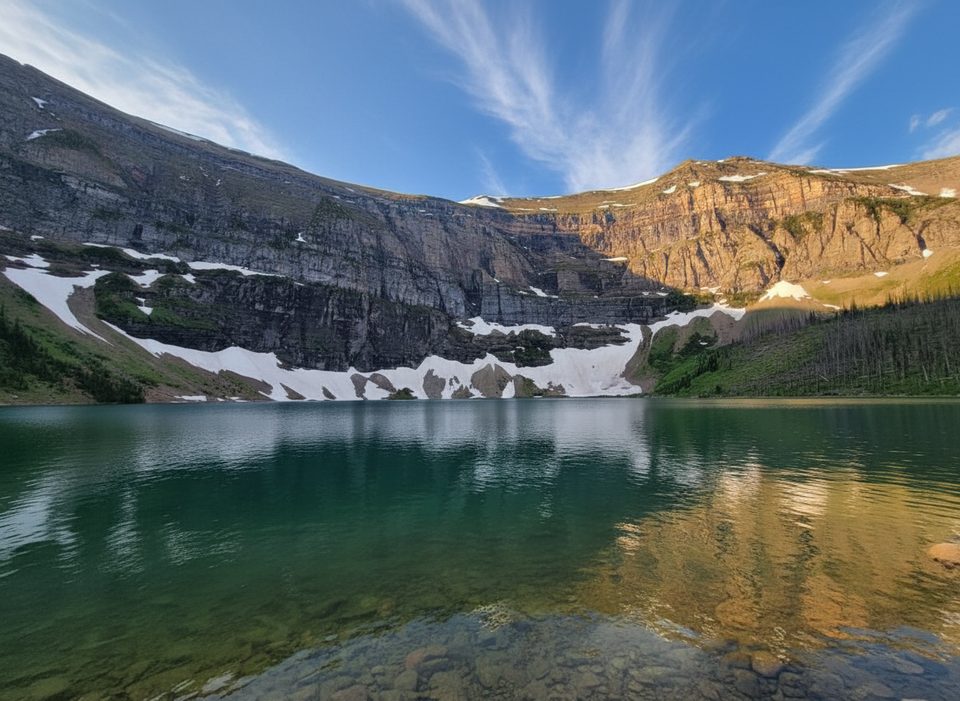
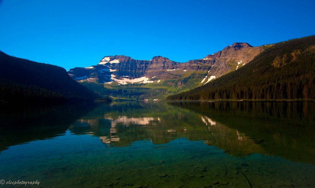
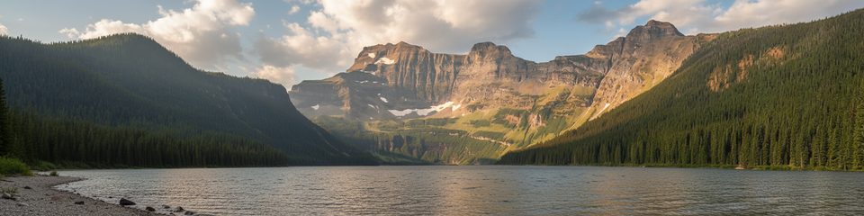
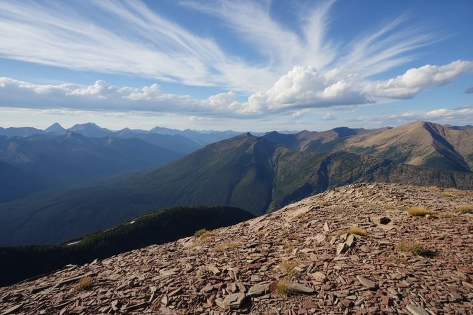
Scenery is the payoff: Bertha Lake’s turquoise water below, cliffs and waterfalls on the ascent, and that signature red argillite rock near the top. From the 2614 m summit, you’ll get sweeping views over Upper Waterton Lake, Vimy Peak, the Canada/US border, and neighboring summits. It’s a long, physical day—plan for 7–8 hours for strong, efficient scramblers, longer if you’re newer to off‑trail travel.
Who is this for? Scramblers comfortable on loose, steep terrain with limited markings. If you want a signed, straightforward trail, this isn’t it. If you’re newer to scrambling, consider nearby alternatives like Mount Alderson or simply circling Bertha Lake for a great day without the risk.
Best time to hike: Late June through September after snow has melted. Early starts are smart for cooler temps, steadier footing on morning snow patches (if present), and unhurried route‑finding. Early autumn can be excellent—fewer bugs and crisp air—so long as the first snows haven’t arrived.
Tips: Carry a GPS/track or detailed trip report for navigation above the lake. Trekking poles help on the grind and the scree descent. A helmet is sensible for loose rock. Keep bear spray handy and stay alert—bear activity has been reported. Weather turns fast; pack layers and be ready to turn around if conditions or comfort with exposure deteriorate.
Park at the Bertha Lake Trailhead near the Waterton townsite; the route begins on the Bertha Lake Trail and leaves the maintained path at the far end of the lake.
Significant off‑trail scrambling with loose scree, exposure, and limited markings; navigation challenges above Bertha Lake; bear activity possible; lingering early‑season snow and fast‑changing weather are common—carry GPS, helmet, layers, and bear spray.
Place · 0 mi away
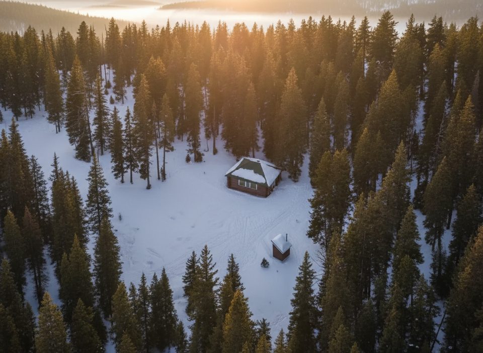
Place · 0 mi away
Place · 0.7 mi away
Place · 0.9 mi away
Challenging · 0 mi away
Easy · 0 mi away
Easy · 0 mi away
Challenging · 0.7 mi away

Parkwolf Tour Guide
