
Place · 0 mi away
Challenging
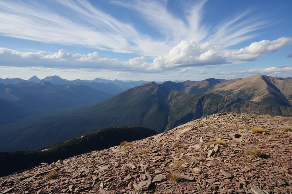
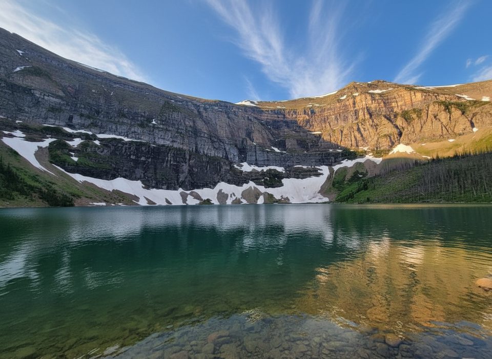
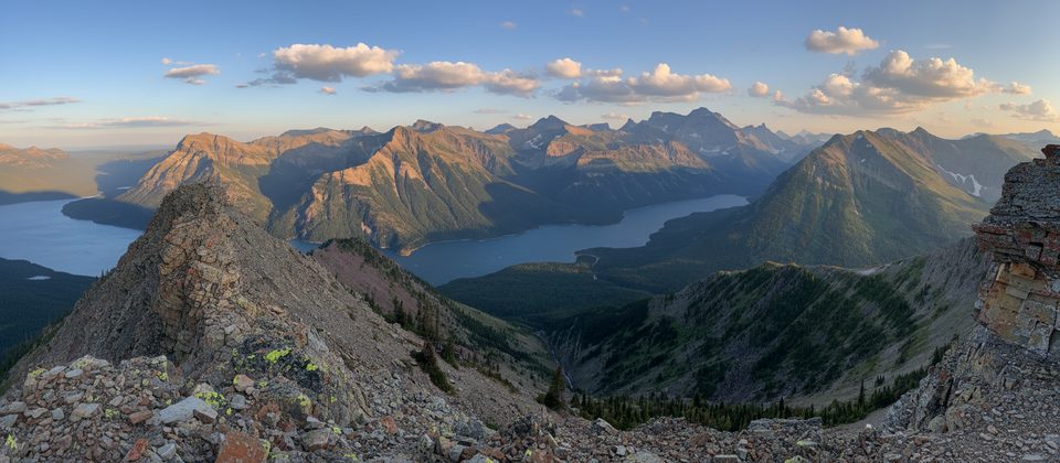
Akamina Ridge is a long, high, and wildly scenic loop that earns its reputation as a Southern Rockies classic. The payoff is a sustained ridge walk with 360-degree views, colorful rock bands near Bennett Pass, and two emerald lakes—Forum and Wall—bookending the day. It’s demanding and exposed, but if you like airy ridgelines and big horizons, this is your showstopper.
Start from the Akamina Pass trailhead on the Akamina Parkway. The loop is about 11.3 miles (18.2 km) total with roughly 905 m (2,970 ft) of gain—plan on 7–10 hours. Most hikers go counterclockwise: follow the signed trail to Forum Lake, then climb steeply to the ridge. From there, traverse a series of knolls with constant views—on clear days you can see deep into British Columbia and south toward Glacier National Park. Continue north toward Bennett Pass, then descend to Wall Lake and cruise out on a mellow forest trail back to the start. Going clockwise works too, but ascending via Forum Lake gives a more gradual warm-up before the big ridge push.
Expect an honest mountain day: a forested approach, a steep pull to gain the ridge, and a long, exposed traverse where the wind can rip. Footing is mostly trail, with short hands-on sections and minor bumps to roll over—more steep hiking than true scrambling. The ridge is the prize, but the descent to Wall Lake adds variety with meadows, lakeside contouring, and easy miles back out.
Summer brings wildflower bursts—buttercup meadows and beargrass are highlights—and the ridge north of the high point shows off vivid mineral bands. You’ll cross the Alberta–British Columbia border near Akamina Pass and spend part of the loop in BC’s Akamina‑Kishinena Provincial Park. This is prime bear country; carry bear spray and give wildlife space.
Late July through September is the sweet spot. Snow lingers late and returns early at these elevations, and wind is a constant factor. Start early for calmer air and a no-rush day on the ridge. Mid-summer has peak flowers but also peak mosquitoes near the lakes—bring repellent. Avoid storm days; there’s no shelter up high.
Park at the Akamina Pass trailhead on Akamina Parkway, about 1 mile before Cameron Lake; signed parking area.
Highly exposed ridge with frequent strong winds and rapid weather shifts; steep ascents/descents with short hands-on sections; lingering snow possible outside mid-summer; limited water on the ridge; prime grizzly habitat—carry spray.
Place · 0 mi away
Place · 0.7 mi away
Place · 0.7 mi away
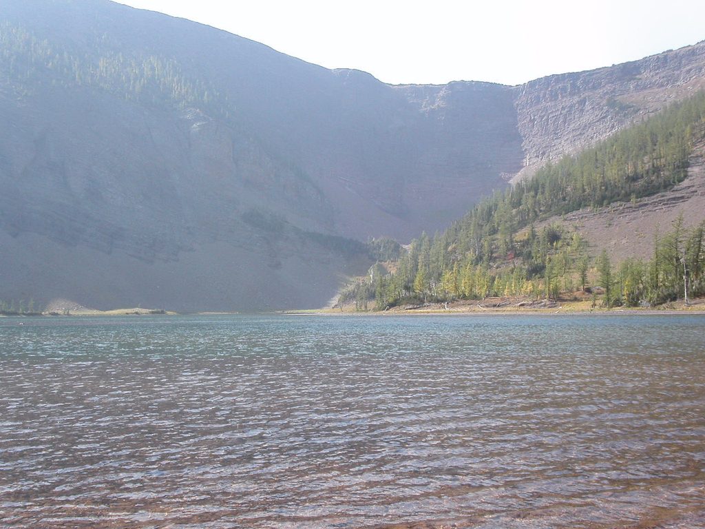
Place · 1.6 mi away
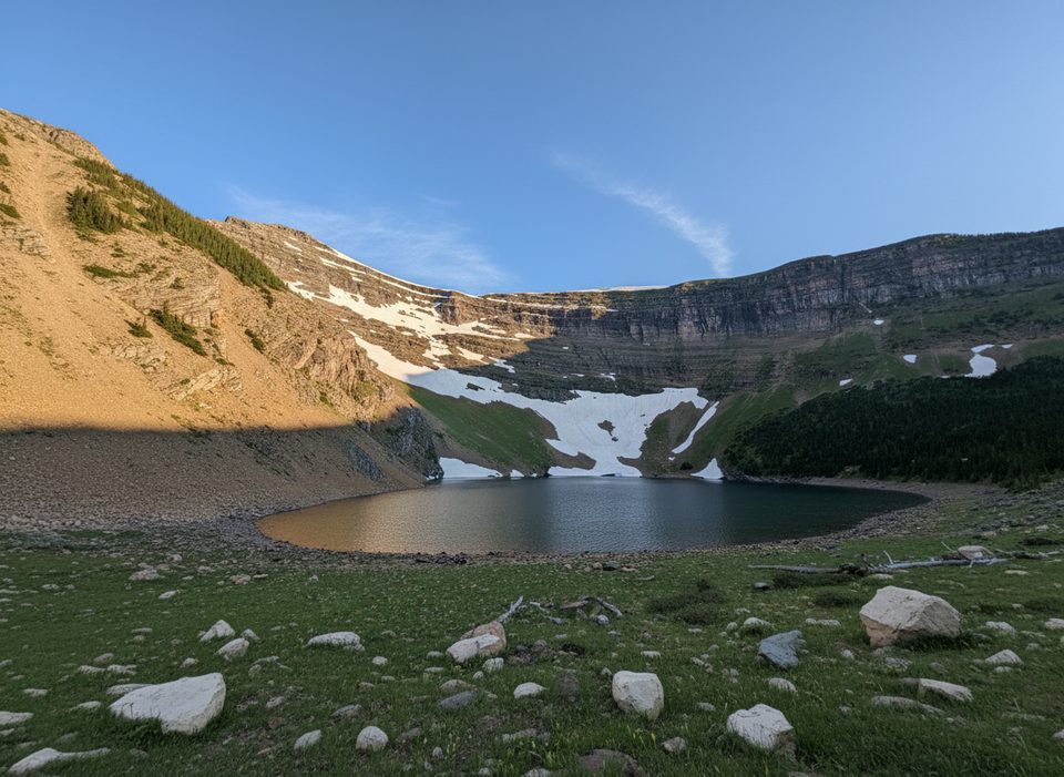
Moderate · 0 mi away
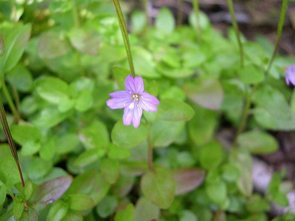
Challenging · 0.7 mi away
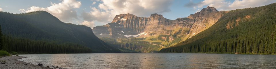
Easy · 0.7 mi away
Challenging · 0.7 mi away

Parkwolf Tour Guide
