Parking
Start at Cameron Lake Day Use Area, on the left side as you face the lake. The route ends at Cameron Falls in Waterton townsite; arrange a shuttle or a vehicle at each end.
#2 of 47 trails in Waterton Lakes
Waterton Lakes National Park, AB
Cross a high shale saddle, then descend through lakes to town.
Overview
Carthew-Alderson is a one-way crossing from Cameron Lake to Cameron Falls in Waterton townsite: 20.1 km (12.5 mi) over a high saddle, past the Carthew Lakes and Alderson Lake, then down the valley. Parks Canada allows eight hours and rates it difficult. Its page also lists 19.2 km for the reverse direction, so plan for about 20 km rather than treating either figure as an exact odometer reading. This is a great pick if you want one long hike with a real change of scenery; skip it if loose footing, steep climbing or a full day on trail sounds like more work than fun. The Cameron Lake start is the easier direction, with 650 m of climbing before the long descent to town.
 Parkwolf’s verdictIs this the full-day hike for you?
Map & elevation
Plan your hike

The highest, rockiest slopes around here are a summer buffet for grizzly bears.
Waterton Lakes Tour Guide
Parkwolf is a GPS audio tour guide for Waterton Lakes National Park. As you drive, it chimes in with what’s ahead: hidden gems, upcoming stops, history, geology, and wildlife, right through your car’s speakers.
See the Waterton Lakes audio tourRecorded for this trailhead
Cameron Lake“Cameron Lake is coming up at the end of Akamina Parkway. You can reach the shore straight from the parking area, so make this stop even if you don’t want a hike.”
Plays as you drive up to this trailhead in the Parkwolf Waterton Lakes Tour Guide.
More stories near here in the app
“Fantastic app with many points of information… It’s great to just turn on while you’re driving and it gives you an audio tour of the national Park. We love it!!!!”


Trail guide
Start at Cameron Lake Day Use Area, on the left as you face the lake. Long switchbacks climb through forest toward Summit Lake; the grade is steady rather than brutal at first, and the route opens up as you gain height. Summit Lake is the first big pause, but it is also a junction: Boundary Creek Trail branches toward Boundary Bay and the Lakeshore Trail. Stay on Carthew-Alderson and climb toward the high saddle.
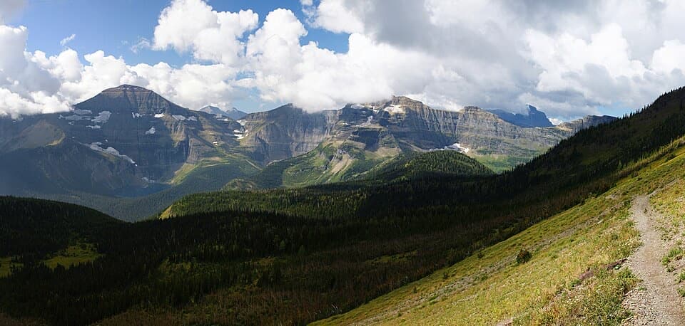
The climbing gets steeper above Summit Lake, and the trees give way to open alpine slopes and loose rock. Parks Canada calls this high point “the Summit,” but it is a saddle between Mount Carthew and Mount Alderson, not a mountain top. From here you can look down on the Carthew Lakes, back across the Waterton Valley and out toward the prairie. The route is exposed here, so wind, lingering snow and poor visibility matter more than they do in the forest. A side path climbs to a higher viewpoint, but it adds effort and more exposure; the through-route has plenty of view already. For a photo, frame the lakes below the shale ridge with the valley beyond so the drop has some scale.
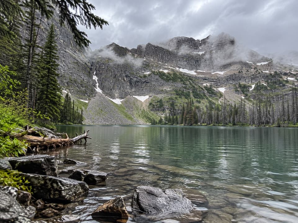
The trail drops steeply from the saddle onto red-pink shale and scree. It is loose underfoot, and the upper lake can hold snow well into summer. Keep to the obvious path around the lakes rather than cutting across the slope. Small cascades join the upper and middle lakes, and the mix of pink rock, alpine shrubs and water is the most distinctive stretch of the hike. The route passes Summit Lake and the Carthew Lakes; it is worth slowing down here before the next steep descent.
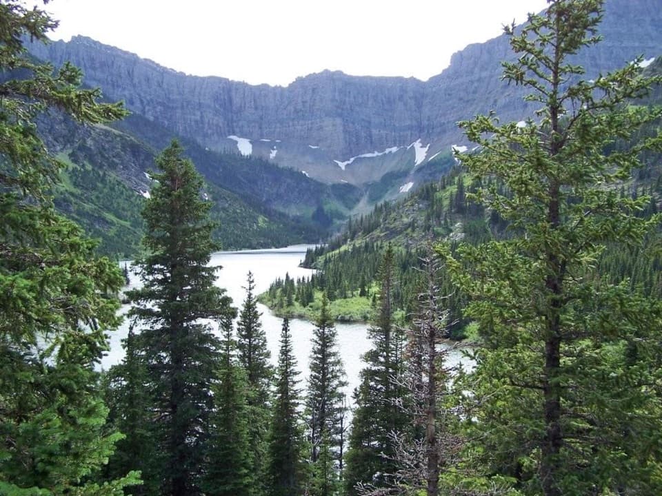
Beyond the Carthew basin, the route drops through a narrow valley below Mount Carthew to deep-blue Alderson Lake, tucked under Mount Alderson’s cliffs. There is a backcountry campground on the far shore; reserve a site if you want to stay overnight. From the lake, follow the trail down along Carthew Creek and then toward Cameron Creek. The lower descent is easier walking, with stretches of forest, small cascades and views back toward the townsite. The 2017 Kenow wildfire changed parts of these slopes; burned trees now stand among regrowth, berry bushes and wildflowers. Cameron Falls is the townside finish.
Walk from Cameron Lake down to town if you can arrange it. The trail is point-to-point, so take a shuttle to the lake or stage vehicles at both ends; check current shuttle times and rates before you go. Bring your own food and water for the day. A Parks Canada entry pass is required, and dogs must stay on leash; follow any posted area restrictions. Bears are reported along this route, so carry bear spray where you can reach it. The backcountry reservation applies if you camp at Alderson Lake, not just because you are hiking through.
Wildlife
 83 sightingsBisonMost seen around 7 PMSighting map
 563 sightingsBlack BearMost seen around 6 PMSighting map
 146 sightingsElkMost seen around 7 PMSighting map
 113 sightingsBighorn SheepMost seen around 7 PMSighting map
 55 sightingsBald EagleMost seen around 9 AMSighting map
 53 sightingsTrumpeter SwanMost seen around 6 PMSighting map
Sighting maps show where each species has been reported across Waterton Lakes. Wildlife moves, so no sighting is guaranteed.
Keep exploring
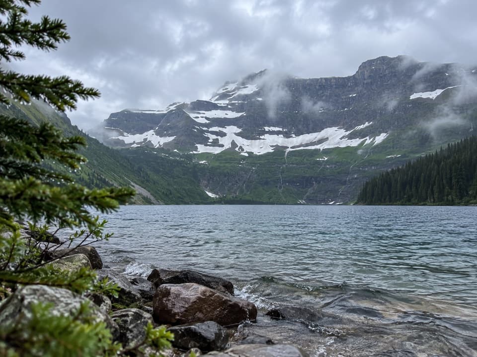 EasyCameron Lakeshore Trail3.1 km · 1 hr · At the trailheadAn easy shore walk beneath a broad Continental Divide headwall
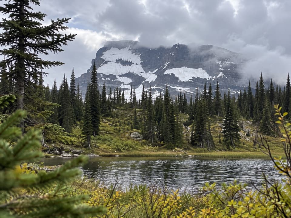 ModerateSummit Lake Trail8 km · 3 hr · At the trailheadClimb forest switchbacks from Cameron Lake to a subalpine lake.
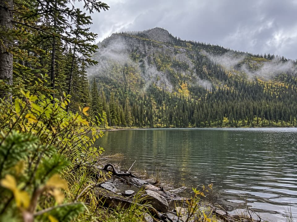 EasyAkamina Lake Trail1.1 km · 30 min · At the trailheadA short forest walk ends beside a sheltered subalpine lake.ChallengingCarthew Lakes Trail18.6 km · 8 hr · At the trailheadThree alpine lakes, with a hard climb on the way back.
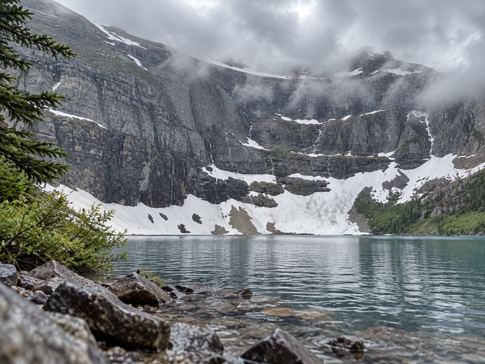 ModerateWall Lake Trail10.4 km · 4.5 hr · 1.2 km awayA cross-border walk from Akamina Pass to a lake beneath sheer cliffs.
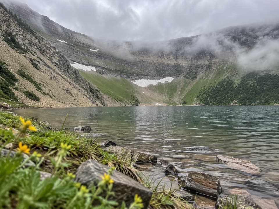 ModerateForum Lake Trail9 km · 3.5 hr · 1.2 km awayColourful ancient limestone makes the lake shore worth the climb.
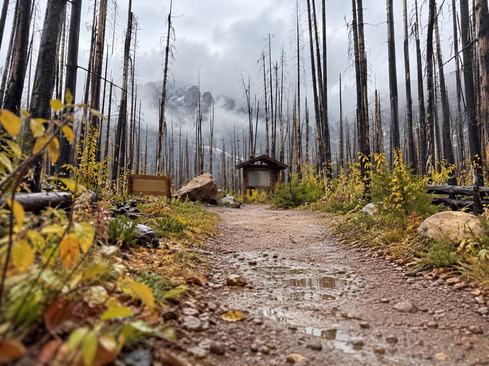 ModerateAkamina Pass Trail3.1 km · 1 hr · 1.2 km awayA short climb to the Alberta–B.C. boundary.
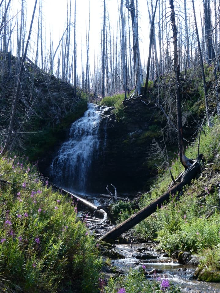 ModerateForum Falls Trail5 km · 2 hr · 1.2 km awayA smaller waterfall goal before the longer Forum Lake hike.
 Sight · At the trailheadCameron LakeMountain reflections right at the parking area.
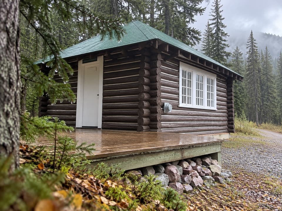 Lodging · 0.4 km awayCameron Lake CabinA winter stay in Waterton’s 1929 warden cabin.
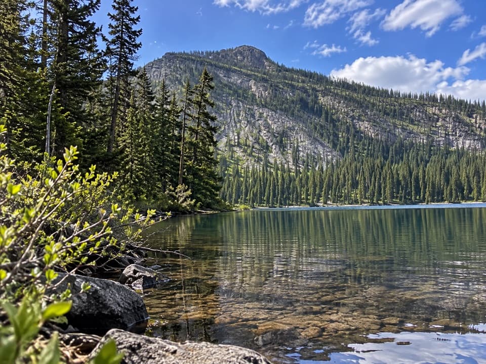 Sight · 0.5 km awayAkamina LakeAn easy half-hour detour to a sheltered subalpine lake.
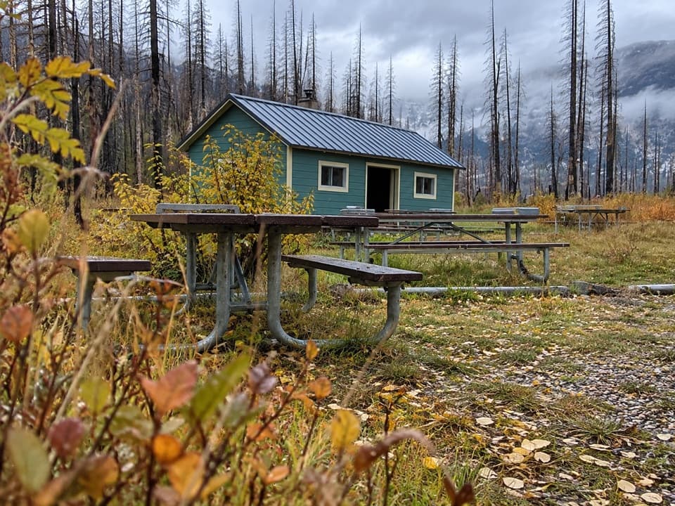 Picnic area · 2.5 km awayLittle Prairie Day Use AreaA useful picnic stop that becomes the winter road's end.
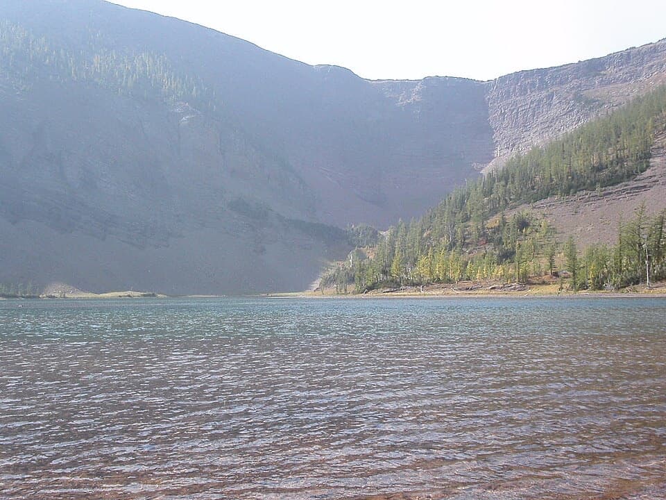 Sight · 3.6 km awayUpper Rowe LakesA meadow and alpine lakes at the end of steep switchbacks.
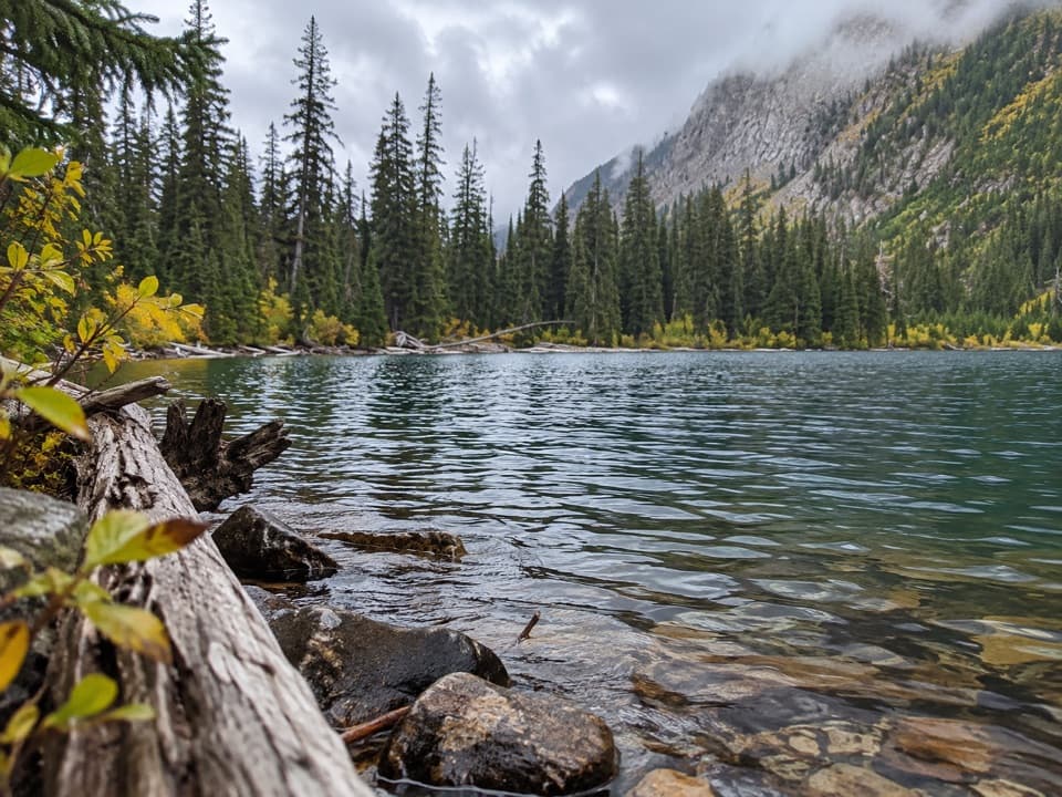 Sight · 3.9 km awayLower Rowe LakeA small alpine lake beneath steep cliffs, reached by a moderate hike.
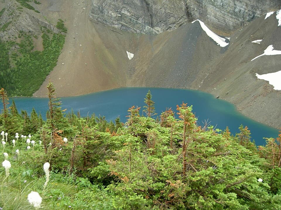 Sight · 5.2 km awayAlderson LakeBlue water, high cliffs, and an all-day hike to get there.
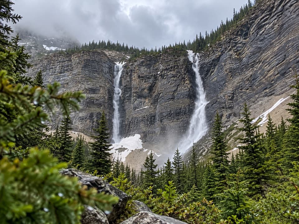 Sight · 6.5 km awayLineham FallsA moderate hike to twin falls beneath two high peaks.
Parkwolf’s Waterton Lakes ranking
The audio tour guide for the drive, plus offline maps, trails, and wildlife heatmaps for when the signal drops.