Overview
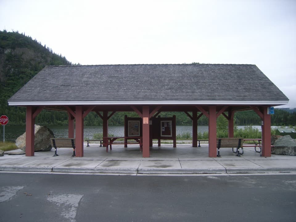
About Chitina Wayside
Why stop
- A handy place for the restroom, a picnic break and road information.
Map
Where it is

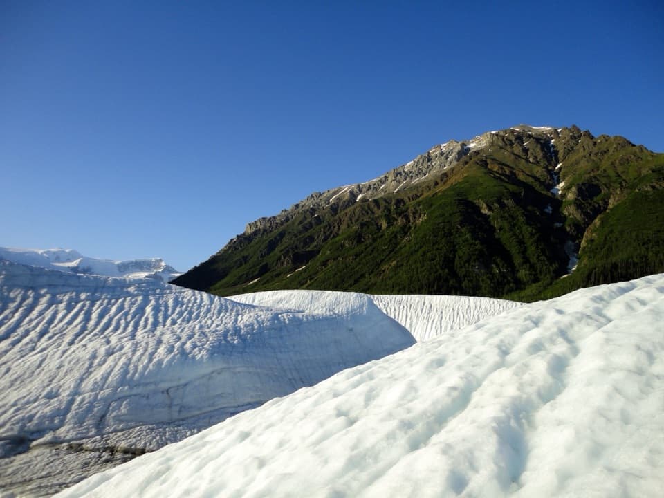
The highest, rockiest slopes around here are a summer buffet for grizzly bears.
Wrangell-St. Elias Tour Guide
Your drive to Chitina Wayside, narrated.
Parkwolf is a GPS audio tour guide for Wrangell-St. Elias National Park. As you drive, it chimes in with what’s ahead: hidden gems, upcoming stops, history, geology, and wildlife, right through your car’s speakers.
See the Wrangell-St. Elias audio tourRecorded for this place
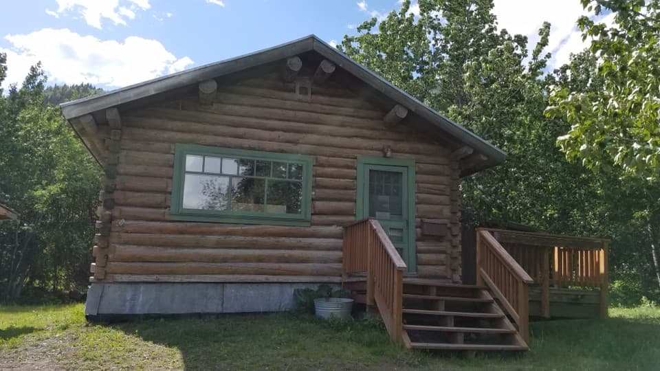
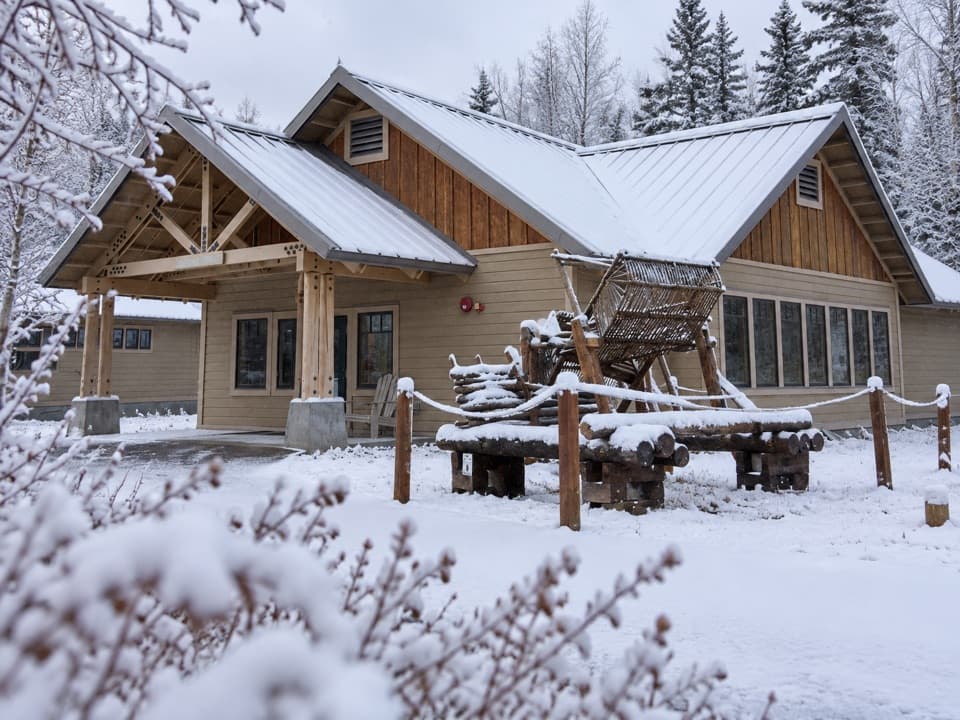
Chitina Ranger Station and Wayside“You're approaching the Chitina Ranger Station area, where a log cabin from nineteen ten serves as a summer contact station. If it's staffed, stop for road advice and a look inside: the original owner's initials, J.C.M.”
Plays as you drive up to Chitina Wayside in the Parkwolf Wrangell-St. Elias Tour Guide.
More stories near here in the app
- Copper River Campground
- When Part of Wrangell Collapsed
- A New Set of Antlers
- Nicolai's Help on the River
- 81 audio storiesacross Wrangell-St. Elias’s roads, triggered by GPS as you drive
- Wildlife heatmapsfor Grizzly Bear, Moose, Humpback Whale, and 13 more
- Works offlinemaps, 28 trails, 62 places, and audio download before you lose signal
- CarPlay readysimple controls built for the drive
“Fantastic app with many points of information… It’s great to just turn on while you’re driving and it gives you an audio tour of the national Park. We love it!!!!”


Guide
More about Chitina Wayside
Before the long McCarthy Road driveChitina Wayside is a small roadside rest stop in downtown Chitina, the historic railroad town…
Chitina Wayside is a small roadside rest stop in downtown Chitina, the historic railroad town that serves as a southern gateway to Wrangell–St. Elias. It has parking, vault toilets, picnic facilities and interpretive panels. Take a pause here before McCarthy Road: the unpaved route runs 60 miles and takes about two hours each way, with few services along the way. Fuel availability in Chitina is described inconsistently, so verify it before counting on a fill-up.
Take a breather and get your bearingsThe shelter and picnic tables make this a useful place to stop, and the panels add context…
The shelter and picnic tables make this a useful place to stop, and the panels add context before you head farther along the route. The restroom is listed as seasonal, so availability can vary through the year. Chitina has restaurants and other town services, but this wayside is a picnic stop rather than a confirmed food counter.
A road built on a railroadChitina grew in 1910 as a stopover on the railway between Kennecott and Cordova.
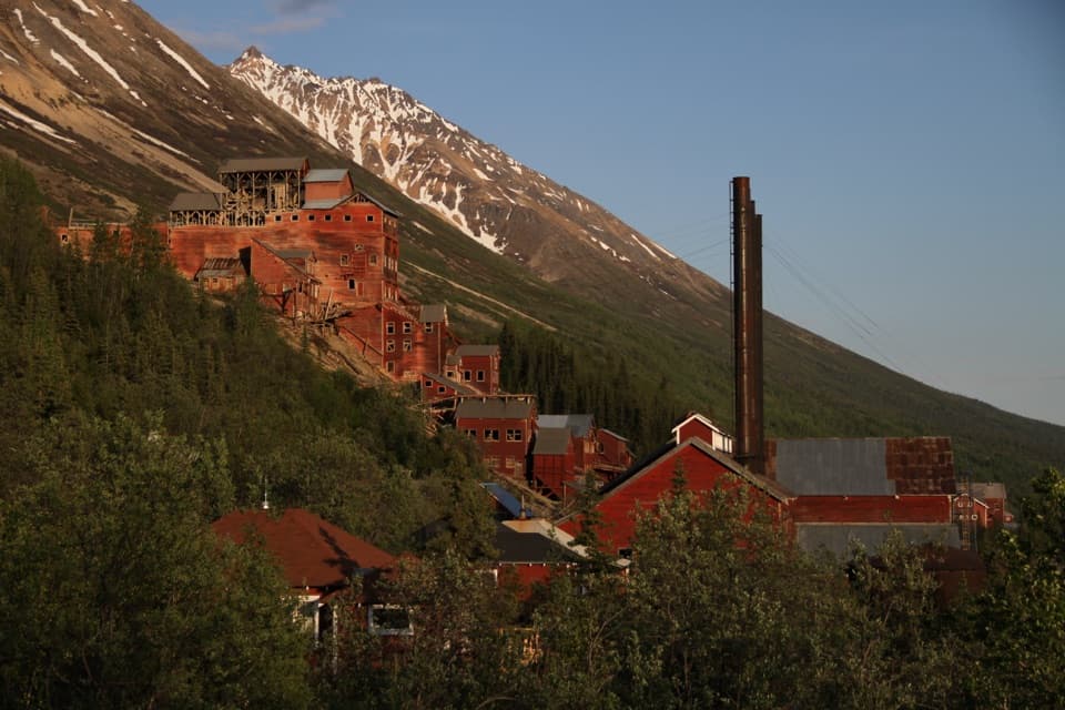
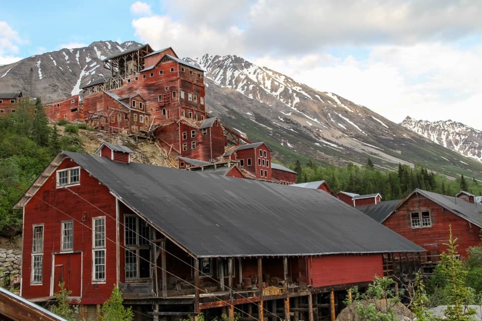
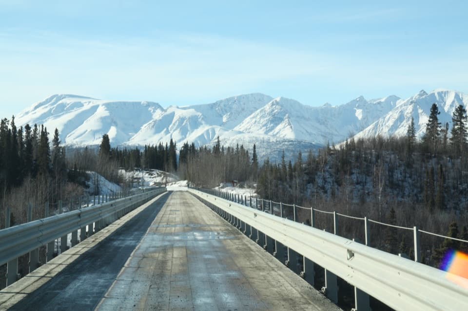
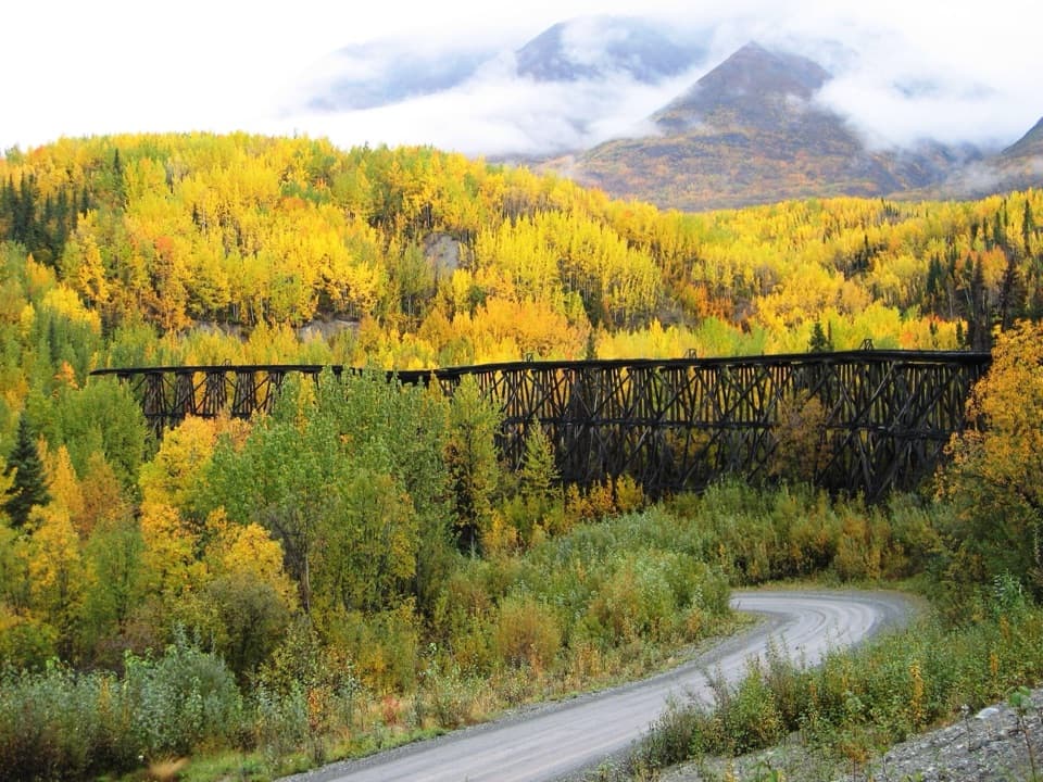
Chitina grew in 1910 as a stopover on the railway between Kennecott and Cordova. McCarthy Road follows that old rail corridor: the railway was built to serve the copper mines in 1909, and after large-scale mining ended in 1938, most of its rails were salvaged. The present road uses the rail bed, with a Copper River bridge added in 1971.
Wildlife
Wildlife in Wrangell-St. Elias
 113 sightingsGrizzly BearMost seen around 9 PMSighting map
 66 sightingsMooseMost seen around 8 PMSighting map
 21 sightingsHumpback WhaleMost seen around 1 PMSighting map
 46 sightingsSteller Sea LionMost seen around 11 AMSighting map
 39 sightingsBlack BearMost seen around 8 PMSighting map
 48 sightingsBald EagleMost seen around 5 PMSighting map
Sighting maps show where each species has been reported across Wrangell-St. Elias. Wildlife moves, so no sighting is guaranteed.