Pros & cons
PROS
- Up-to-date McCarthy Road conditions and trip-planning help
- Small historical exhibits in a 1910 log cabin
- WiFi available
CONS
- Very limited, variable summer hours; closed Sept–April
- Occasional closure despite a posted open sign
Overview
This tiny log-cabin outpost at mile 33 on the Edgerton Highway is the smart first stop before committing to the rough-and-ready McCarthy Road. Rangers here share current road conditions, trip-planning advice, and local updates, plus they handle subsistence permits for eligible local rural residents. It’s compact, friendly, and purpose-built to set you up for a safer, smoother adventure down the road.
Why stop here
- Real-time intel for the McCarthy Road: expect the latest on washboards, potholes, closures, and travel time estimates.
- Orientation and exhibits: brief interpretive displays give helpful context for the Chitina–McCarthy corridor and the broader park.
- Connectivity boost: there’s WiFi—handy for downloading offline maps and last-minute planning in a region with patchy service.
A bit of history
The station is a 1910 log cabin tied to Chitina’s boom years (1910–1938), when this was a transportation hub “where the rails meet the trails” for trains, stagecoaches, dog sleds, and steamboats serving the Kennecott copper mines. The cabin was rehabilitated by the National Park Service in the early 1990s and now doubles as a slice of local history and a modern ranger contact point.
Wildlife you might encounter nearby
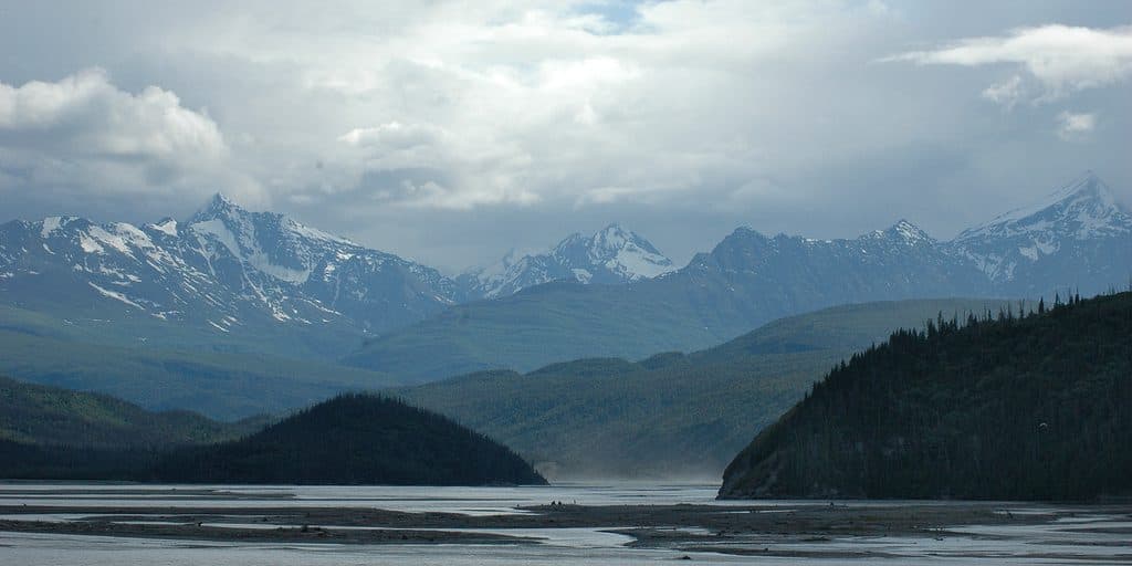
Around the Copper and Chitina river valleys and along the McCarthy corridor, keep an eye out for moose and both brown and black bears in low, brushy areas. Bison roam the river valleys, and the river deltas host migratory birds. The Copper River drainage is prime nesting habitat for trumpeter swans. Your best strategy: slow down, make frequent stops, and glass river flats and hillsides with binoculars or a spotting scope.
Best time to visit
Summer only, typically May 24–Aug 31—and even then, hours are limited (usually Fridays and Saturdays, with times varying by staffing). Aim for morning to catch staff before you head down McCarthy Road. Expect the occasional unplanned closure; if you’re traveling outside those days or in shoulder season, plan to get assistance from park headquarters instead.

Is it worth it?
If you’re driving McCarthy Road, absolutely—this is the most efficient way to get current conditions and practical advice. If you’re passing through in the off-season or on a day it’s closed, it’s a quick photo stop for the historic cabin, but not essential.
Where it is
61.5159, -144.4383Tips for Chitina Ranger Station
- 01Stop here before driving McCarthy Road for the latest conditions and advice.
- 02Hours are limited and variable in summer; don’t rely solely on the sign.
- 03Use the WiFi to download offline maps before heading into spotty service.
- 04Ask rangers about recent bear activity and any travel advisories.
- 05Pronounced “Chit-nuh”; the station sits at mile 33 on the Edgerton Highway.
Amenities
Near Chitina Ranger Station
All places →All trails →
0.1 mi awayChitinaGateway town for tackling the McCarthy Road the right wayRestroom · Exhibit
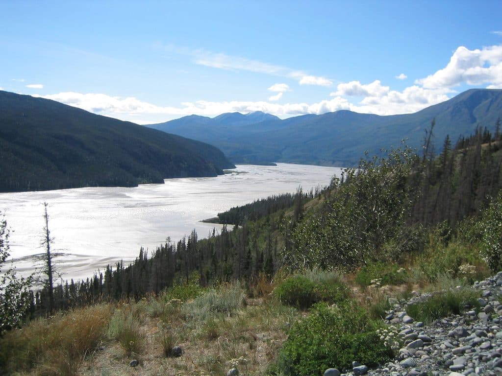
0.4 mi awayChitina River Scenic VistaQuick pullout with big views of the braided Chitina RiverPullout · Scenic Viewpoint
12.9 mi awayDixie Pass TrailRemote creek-and-pass route with fords and fading tread.Challenging · 10 mi · 7 hr
14.1 mi awayKuskulana BridgeHistoric one-lane trestle over a dizzying glacial river canyonPullout · Restroom
24.3 mi awayGilahina Trestle & Hiking TrailQuick riverside leg-stretcher with a towering historic trestleEasy · 1 mi · 30 min
24.3 mi awayGilahina TrestleRoadside view of a colossal 1911 wooden railroad trestlePullout · Restroom
50.4 mi awayMcCarthy Creek TrailCreekbed wander with solitude, shifting channels, and real route-findingChallenging · 13 mi · 6.3 hr
51.2 mi awayTrail to End of Root GlacierWalk from a ghost town to stand on living ice—bring traction.Moderate · 4 mi · 3 hr