Overview
About Kettle Lake Wayside
Why stop
- A picnic table, mountain views, and a primitive overnight option.
Heads up
- No vault toilet or potable water once you leave Slana.
Map
Where it is

The highest, rockiest slopes around here are a summer buffet for grizzly bears.
Wrangell-St. Elias Tour Guide
Your drive to Kettle Lake Wayside, narrated.
Parkwolf is a GPS audio tour guide for Wrangell-St. Elias National Park. As you drive, it chimes in with what’s ahead: hidden gems, upcoming stops, history, geology, and wildlife, right through your car’s speakers.
See the Wrangell-St. Elias audio tourRecorded for this place
Kettle Lake Wayside“You're coming up on Kettle Lake Wayside, an easy picnic stop for the Wrangell Mountain skyline.”
Plays as you drive up to Kettle Lake Wayside in the Parkwolf Wrangell-St. Elias Tour Guide.
More stories near here in the app
- A Century in a Tussock
- Dead Dog Hill Rest Area
- What Alder Adds to the Soil
- Caribou Creek Trail and Cabin
- 81 audio storiesacross Wrangell-St. Elias’s roads, triggered by GPS as you drive
- Wildlife heatmapsfor Grizzly Bear, Moose, Humpback Whale, and 13 more
- Works offlinemaps, 28 trails, 62 places, and audio download before you lose signal
- CarPlay readysimple controls built for the drive
“Fantastic app with many points of information… It’s great to just turn on while you’re driving and it gives you an audio tour of the national Park. We love it!!!!”


Guide
More about Kettle Lake Wayside
A primitive stop with mountain viewsKettle Lake Wayside is a primitive camping spot and roadside rest area on Nabesna Road at…
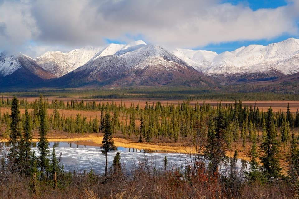
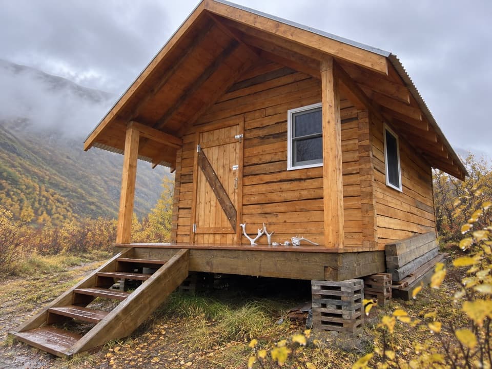
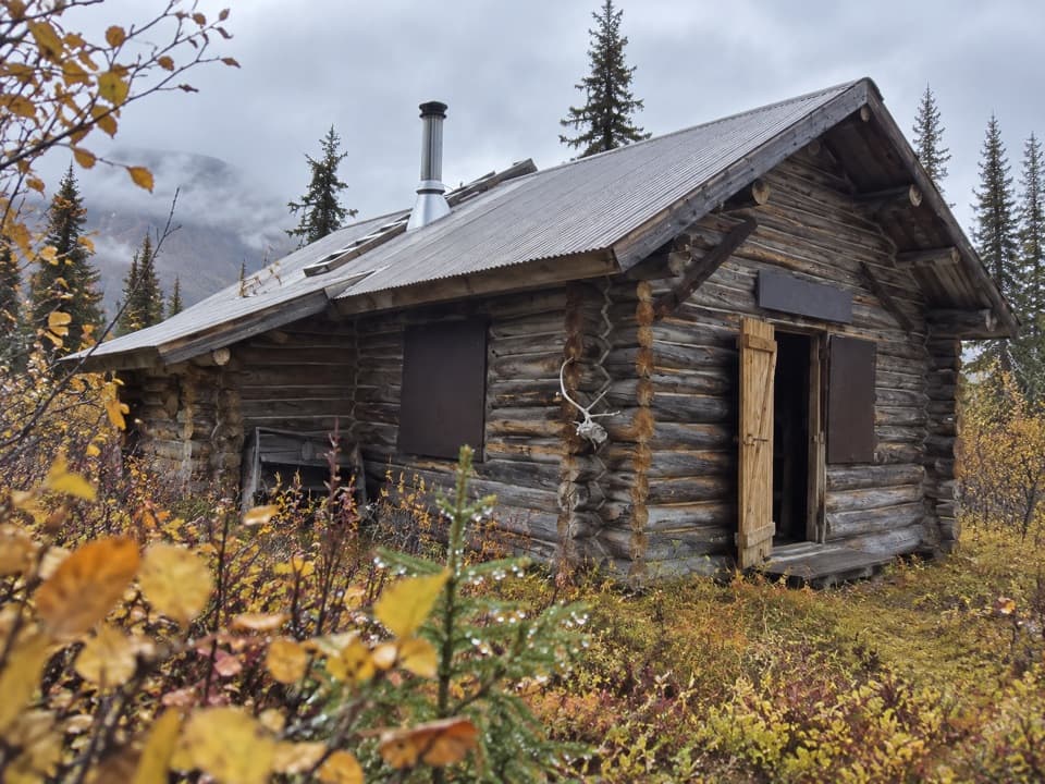
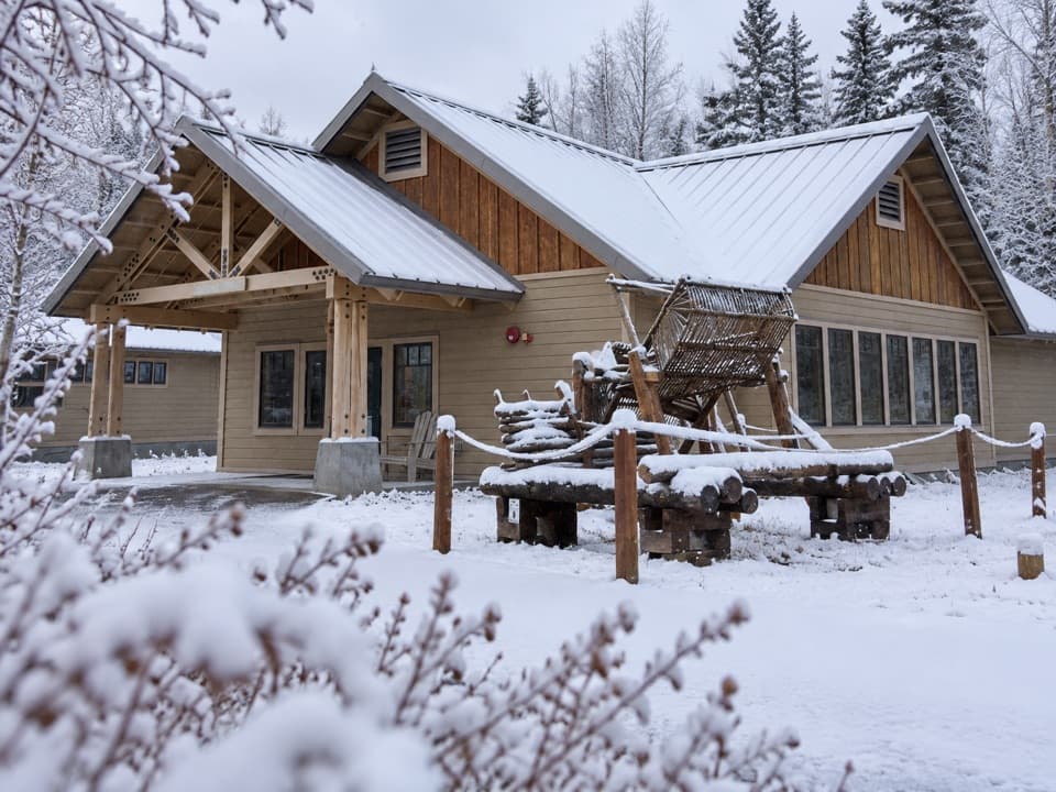
Kettle Lake Wayside is a primitive camping spot and roadside rest area on Nabesna Road at milepost 16.6. Pull in for the picnic table and the open Wrangell Mountain view, or stay overnight if you are comfortable camping with few facilities. This is a low-key wayside; the developed Kendesnii Campground is another 11 miles farther along the road.
The lake and the peaksGame trails cross the tundra from the wayside toward a small lake, so expect an informal wander…
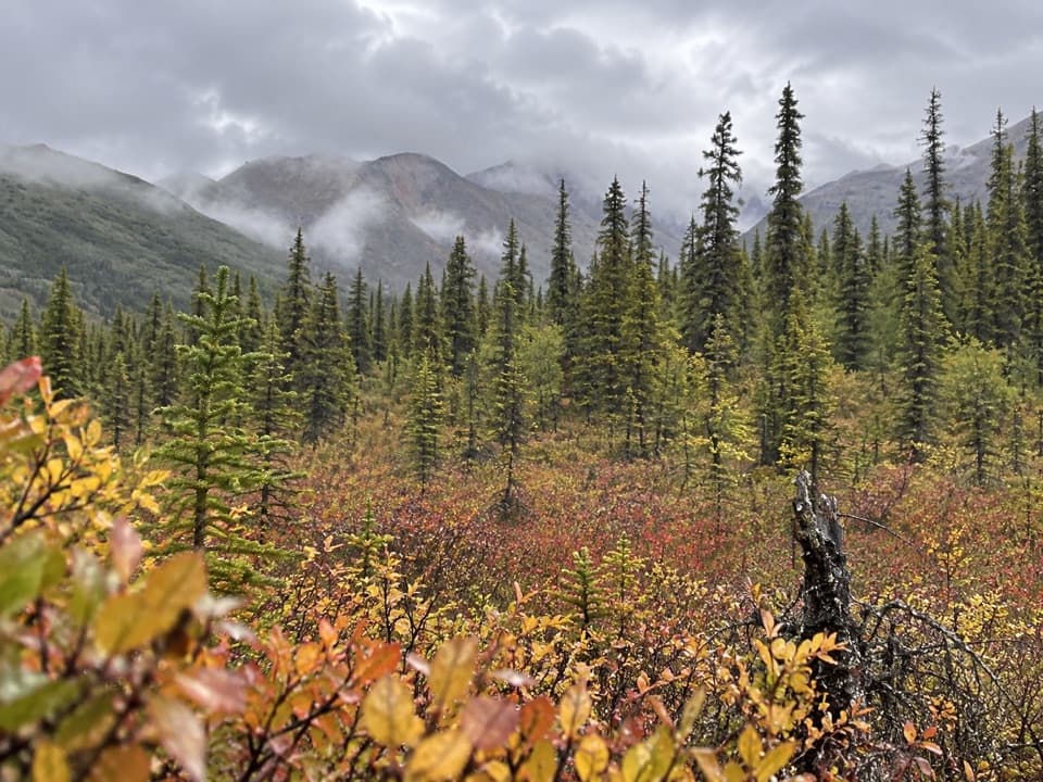
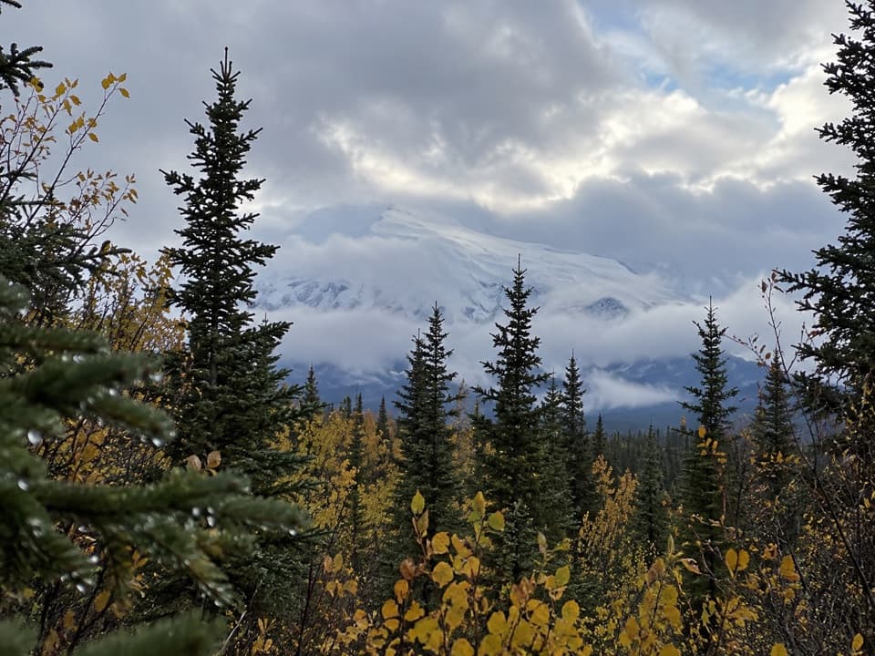
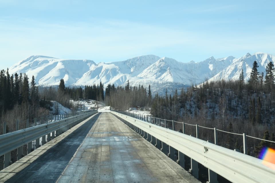
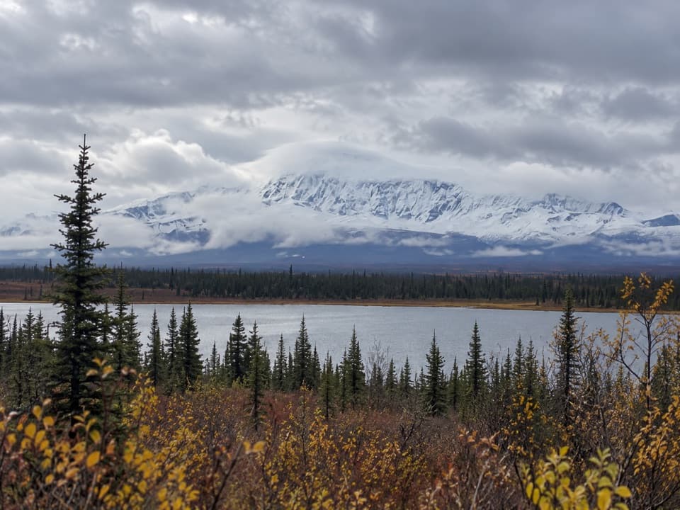
Game trails cross the tundra from the wayside toward a small lake, so expect an informal wander rather than a built trail. The nearby road stretch from miles 15 to 18 has views of Mount Sanford and Mount Wrangell. Sanford is the high, glaciated cone; the rounder Mount Wrangell is the park's only active volcano, and steam is only occasionally visible. For a photo, keep some lake and spruce in the foreground beneath the mountain skyline.
Plan for a remote roadCamping is first-come, with no reservations, and there is no vault toilet here.
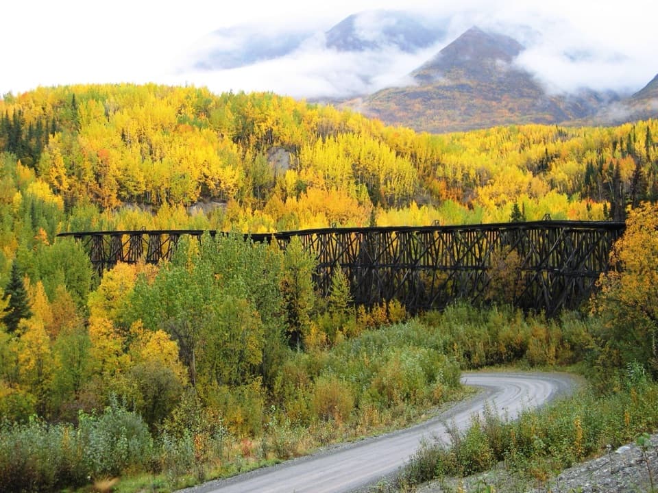
Camping is first-come, with no reservations, and there is no vault toilet here. There is no potable water once you leave Slana, and no fuel in Slana or along the road, so stock up before the drive. Nabesna Road is unpaved and intermittently maintained, with rough sections and creek-crossing washouts; high clearance and four-wheel drive are recommended.
Wildlife
Wildlife in Wrangell-St. Elias
 113 sightingsGrizzly BearMost seen around 9 PMSighting map
 66 sightingsMooseMost seen around 8 PMSighting map
 21 sightingsHumpback WhaleMost seen around 1 PMSighting map
 46 sightingsSteller Sea LionMost seen around 11 AMSighting map
 39 sightingsBlack BearMost seen around 8 PMSighting map
 48 sightingsBald EagleMost seen around 5 PMSighting map
Sighting maps show where each species has been reported across Wrangell-St. Elias. Wildlife moves, so no sighting is guaranteed.