Caribou Creek Trail in Wrangell-St. Elias National Park

#5 of 28 trails in Wrangell-St. Elias

Wrangell-St. Elias National Park, AK

Caribou Creek Trail

Walk to a backcountry cabin through tundra and creek crossings.

Length
7mi
Time
4hr
Elev. change
1,152ft
Difficulty
Moderate
  • Dogs allowed
  • High point 4,085 ft

Hear the audio tour

Caribou Creek Trail and Cabin

Overview

About Caribou Creek Trail

Why go

  • A public-use cabin and three named peaks make a distinctive turnaround.
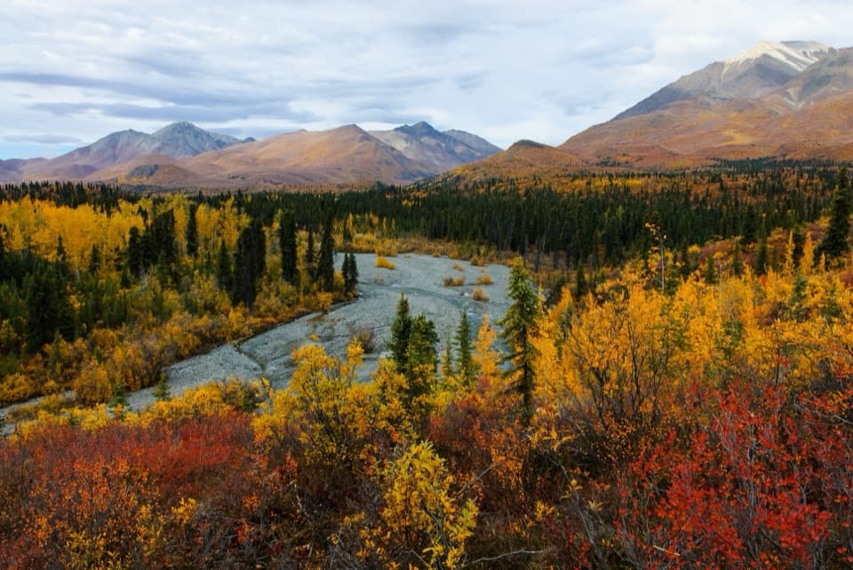
  • Open tundra, mountain views and seasonal wildflowers.

Heads up

  • Four or five unbridged creek crossings can stop the hike at high water.
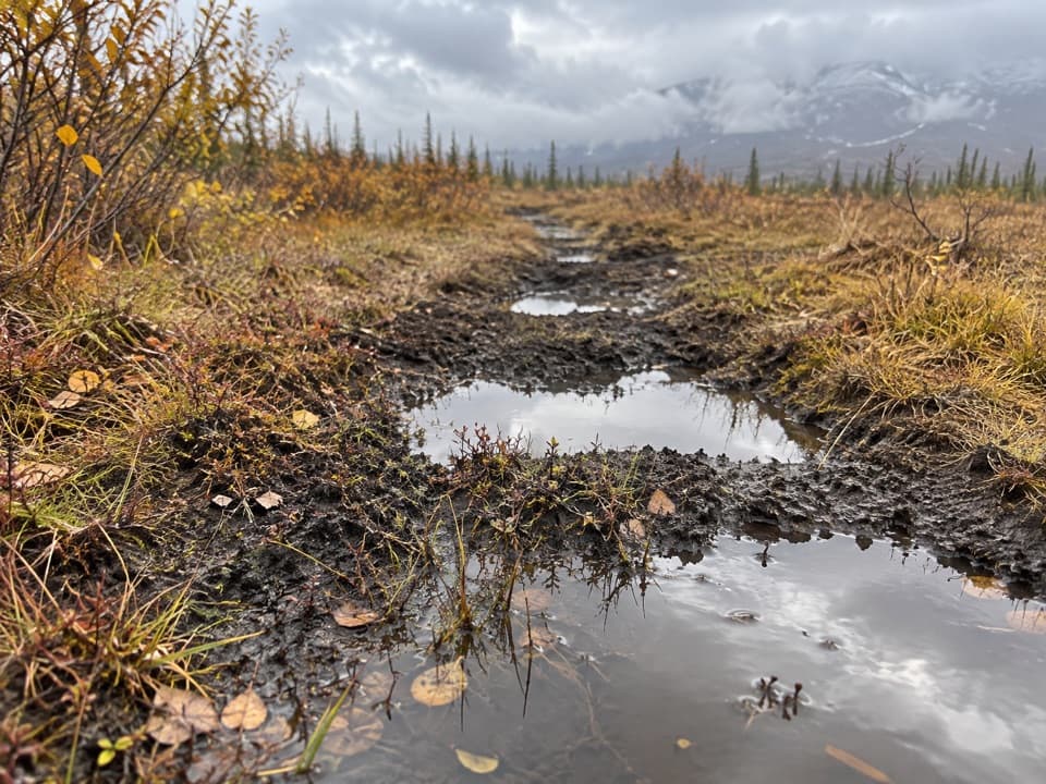
  • Muddy ruts make the route slower than the mileage suggests.

Map & elevation

The route

Loading the Wrangell-St. Elias map
Full map
Elevation2,933–4,085 ft
TrailheadCaribou Creek Trail parking, Nabesna Road mile 18.962.57160, -143.50399
Keep this map with you offline in the Parkwolf app

Plan your hike

Before you go

Parking

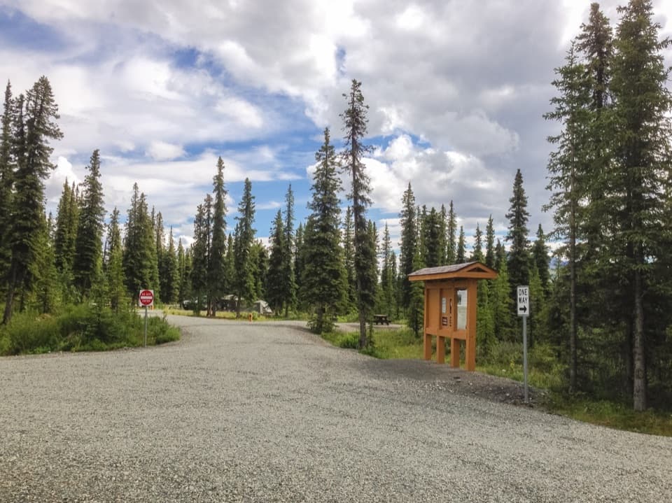
Park in the gravel pit on the north side of Nabesna Road at mile 18.9. Walk about 0.3 mile along the road to the north-side trail access; current guidance places it at mile 19.2, while older published maps list mile 19.5. Parking capacity and a trailhead toilet were not found. Nabesna Road is remote and unpaved; there is no fuel in Slana.

Best time to go

Spring and post-rain mud can be extreme. Bugs are numerous near the cabin in June, July and August, so a headnet and repellent are useful there. Dogs are allowed on the trail, but keep them leashed: trapping is common and legal in Alaska from fall through spring.

Safety

Several creek crossings are unbridged and can be hazardous when high, especially after rain. Spring and post-rain mud can be extreme. Keep dogs leashed; trapping is common and legal in Alaska from fall through spring.

A park ranger sits on a dash-mounted phone, talking, as Parkwolf’s Tour Guide plays “Army Cutworm Moths: A Grizzly Bear Buffet” on Grand Loop Road below Dunraven Pass in Yellowstone
Parkwolf Tour GuideThe highest, rockiest slopes around here are a summer buffet for grizzly bears.

Wrangell-St. Elias Tour Guide

Your drive to Caribou Creek Trail, narrated.

Parkwolf is a GPS audio tour guide for Wrangell-St. Elias National Park. As you drive, it chimes in with what’s ahead: hidden gems, upcoming stops, history, geology, and wildlife, right through your car’s speakers.

See the Wrangell-St. Elias audio tour

Recorded for this trailhead

Caribou Creek Trail and Cabin
0:00 / 0:25
“The access for Caribou Creek Trail is ahead, a walk through tundra and forest to a cabin looking toward Mount Sanford and Mount Wrangell.”

Plays as you drive up to this trailhead in the Parkwolf Wrangell-St. Elias Tour Guide.

More stories near here in the app

  • Dead Dog Hill Rest Area
  • The Grayling’s Seasonal Homes
  • Kettle Lake Wayside
  • Rock Lake Wayside and Viking Lodge
  • 81 audio storiesacross Wrangell-St. Elias’s roads, triggered by GPS as you drive
  • Wildlife heatmapsfor Grizzly Bear, Moose, Humpback Whale, and 13 more
  • Works offlinemaps, 28 trails, 62 places, and audio download before you lose signal
  • CarPlay readysimple controls built for the drive
★★★★★
“Fantastic app with many points of information… It’s great to just turn on while you’re driving and it gives you an audio tour of the national Park. We love it!!!!”
JMJamesApp Store review
Download Parkwolf on the App StoreGet Parkwolf on Google Play

4.7 from 8,600+ ratings

Trail guide

Hiking Caribou Creek Trail

The routeCaribou Creek Trail is an out-and-back to a public-use cabin.

Caribou Creek Trail is an out-and-back to a public-use cabin. From the gravel-pit parking at Nabesna Road mile 18.9, the full walk is about 7 miles round trip: roughly 3.2 miles of trail each way plus about 0.3 mile on the road each way to the current access at mile 19.2. The published trail-only estimate is about six miles round trip. The published climb is about 800 feet; terrain grids place the cabin roughly 1,000 feet above the lot, so treat that as an estimate. Allow about four hours from the lot. Choose this for the cabin and remote mountain setting; it is a poor fit if unbridged creek crossings are a deal-breaker.

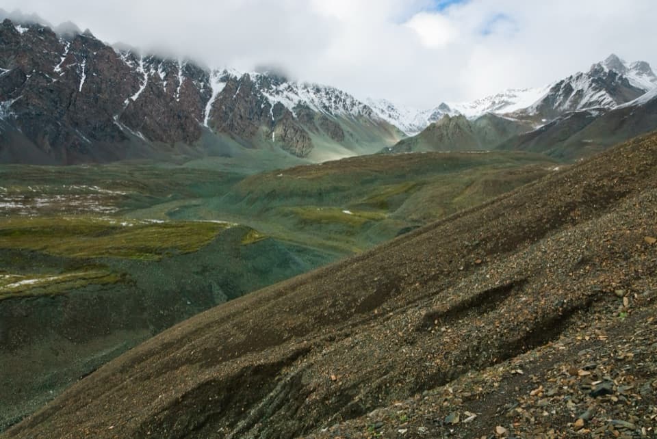
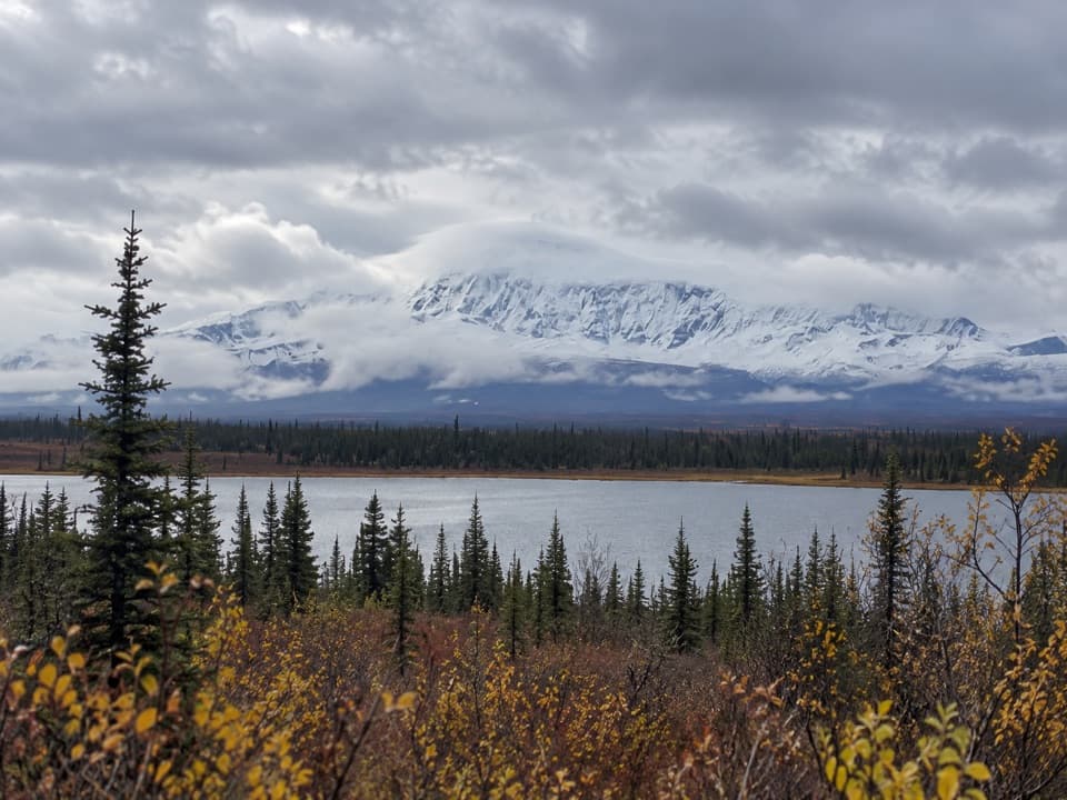
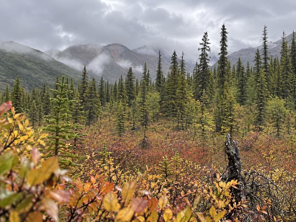
Tundra, brush and rutsThe route starts across low tundra, where views open over the valley.

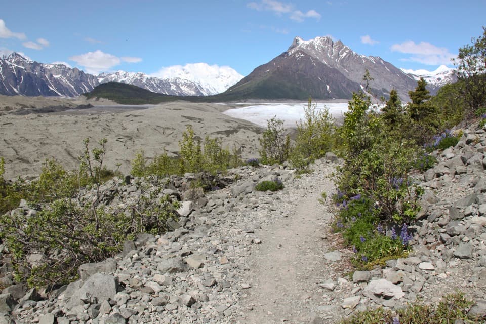
The route starts across low tundra, where views open over the valley. Farther in, spruce, alder and willow close around an old ATV track with ruts and muddy patches; after spring thaw or rain, walking around the mud can slow you down. The first part feels open, then the forested stretches give way to the creek and cabin views.

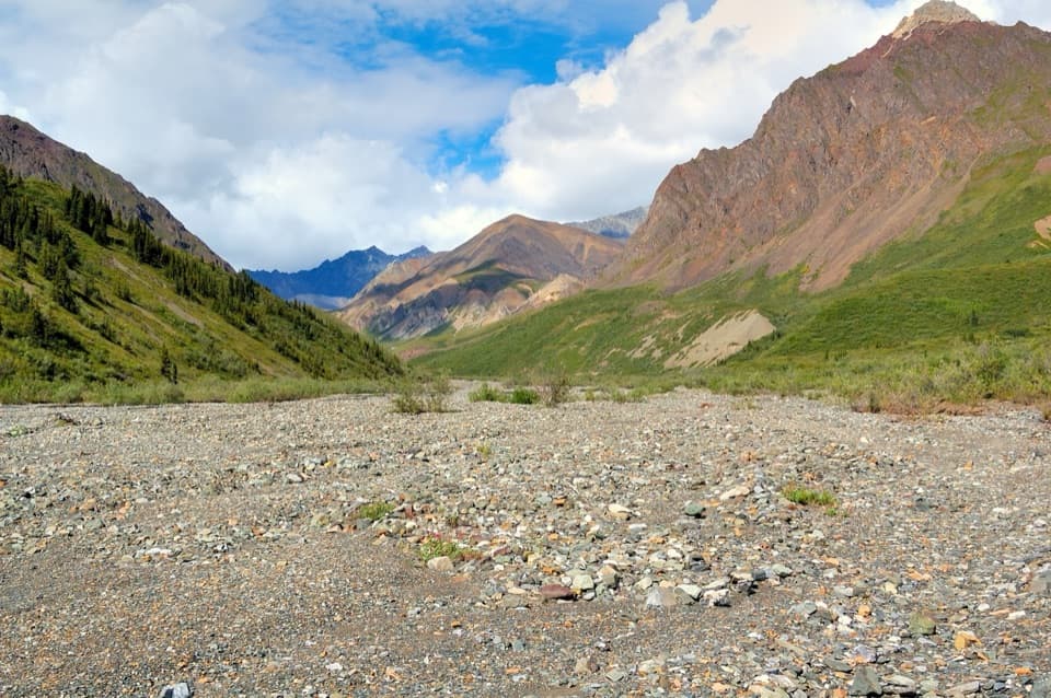
Caribou Creek crossingsThe first crossing comes about two miles into the trail.

The first crossing comes about two miles into the trail. Look straight across the creek for where the route continues; the trail crosses it three or four more times before the cabin. None of these crossings is bridged, and water levels change with the season. High or rain-swollen water can be hazardous, so turn back if the crossings look unsafe.

The cabin and its viewThe trail ends at a small public-use cabin tucked between ridges, with a south-facing view…

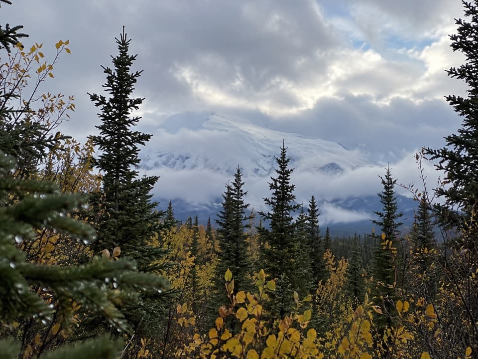
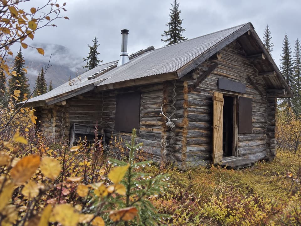
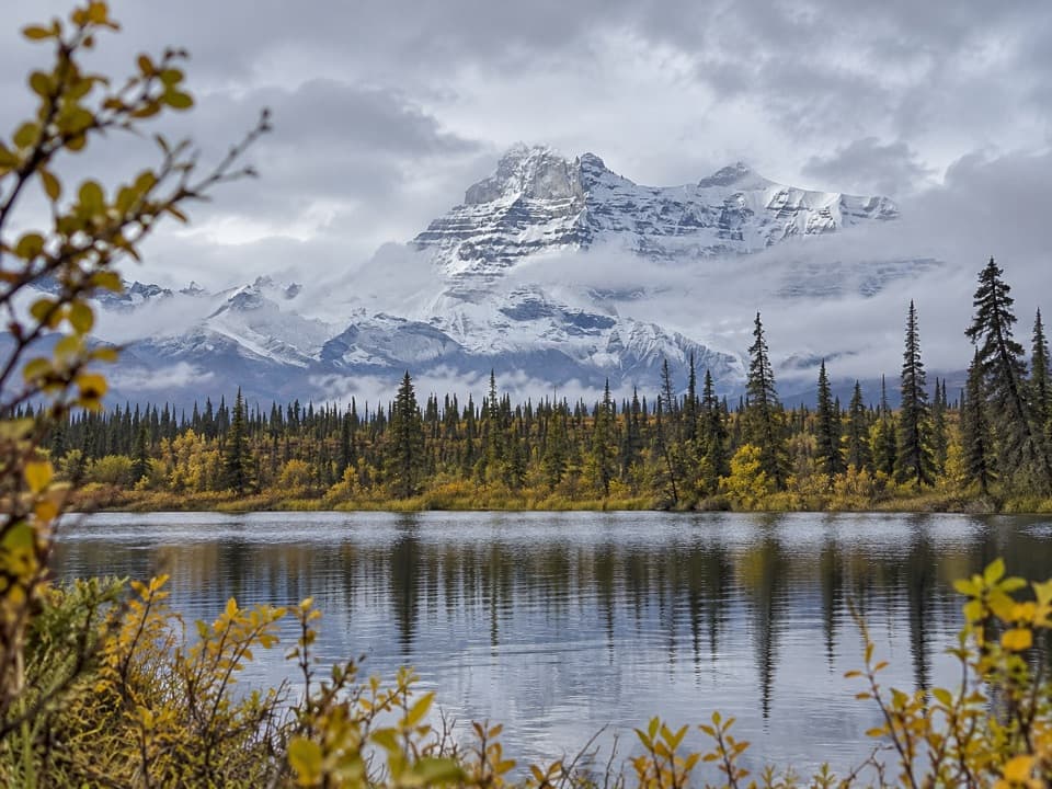
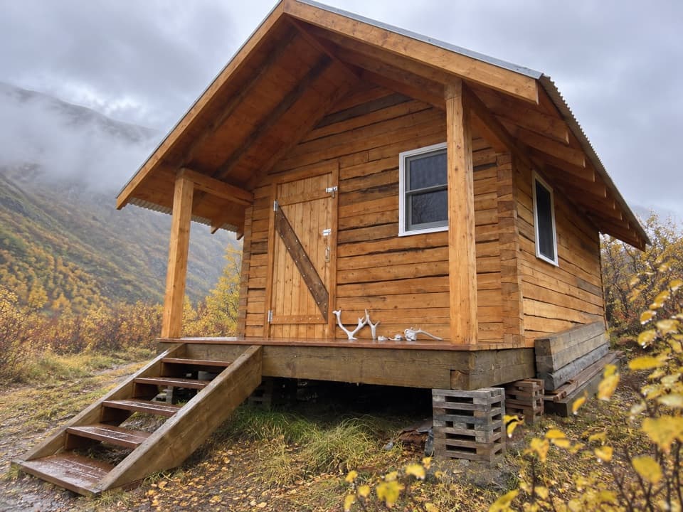
The trail ends at a small public-use cabin tucked between ridges, with a south-facing view toward Mount Sanford, Mount Wrangell and Tanada Peaks. It is a satisfying destination after the creek crossings, and the view from the cabin is the trail's best photo stop. The cabin sleeps two and has a wood stove, table, porch and rustic pit toilet, but no running water or plumbing. Overnight stays require a year-round reservation, which can be made up to six months ahead; stays are limited to seven nights in 30 days.

Flowers and tracksThe trail passes bluebells, prickly rose, monkshood and Alaska cottongrass.

The trail passes bluebells, prickly rose, monkshood and Alaska cottongrass. Wolf, bear and moose tracks have been noted along the route; look for sign, but do not count on seeing the animals themselves.

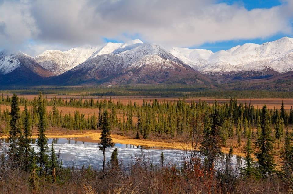
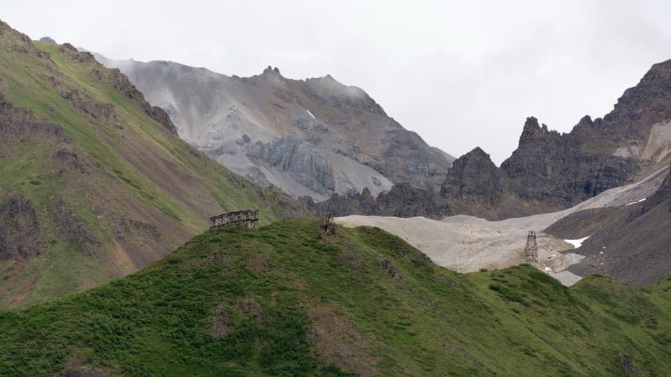
The volcanic skylineThe mountain view puts you in the middle of Wrangell volcanic country.

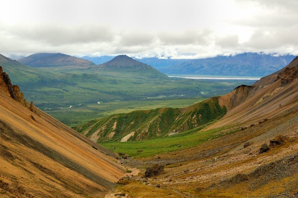
The mountain view puts you in the middle of Wrangell volcanic country. Mount Wrangell is the park's only active volcano and a broad andesite shield volcano; nearby Mount Sanford is a stratovolcano with a more conical profile. The cabin view brings both into the same southern skyline, without extending the hike onto the ridges behind the cabin.

Wildlife

Wildlife in Wrangell-St. Elias

All Wrangell-St. Elias wildlife maps

Sighting maps show where each species has been reported across Wrangell-St. Elias. Wildlife moves, so no sighting is guaranteed.

Keep exploring

Near Caribou Creek Trail

See it all on the map

Trails that start nearby

Places near the trailhead

Parkwolf’s Wrangell-St. Elias ranking

Top-rated trails in Wrangell-St. Elias

All 28 trails
  1. 1Root Glacier TrailModerate · 4.5 mi
  2. 2Bonanza Mine TrailChallenging · 9 mi
  3. 3Skookum Volcano TrailModerate · 5 mi
  4. 4Jumbo Mine TrailChallenging · 10 mi
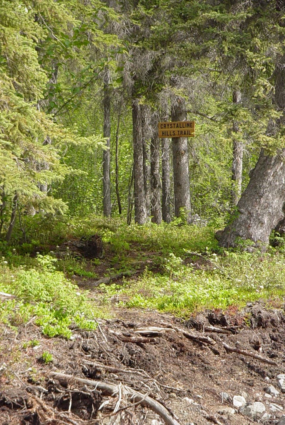
  5. 6Crystalline Hills TrailModerate · 2.5 mi
  6. 7Erie Mine TrailModerate · 8 mi

Take Parkwolf to Wrangell-St. Elias.

The audio tour guide for the drive, plus offline maps, trails, and wildlife heatmaps for when the signal drops.

4.7 from 8,600+ ratings

Download Parkwolf on the App StoreGet Parkwolf on Google Play