
Place · 0 mi away
Moderate
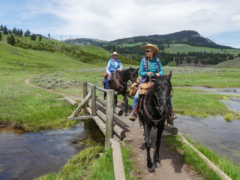
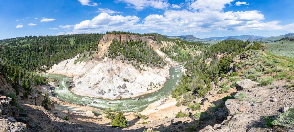
This is a classic northern Yellowstone loop that strings together big-sky sagebrush meadows, a shady creek canyon, and shelf-top views into the Yellowstone River. It’s a moderate 8.2‑mile loop (total), with roughly modest climbs and mostly gentle grades. The trail circles Garnet Hill rather than climbing it, giving you variety without a beat‑down.
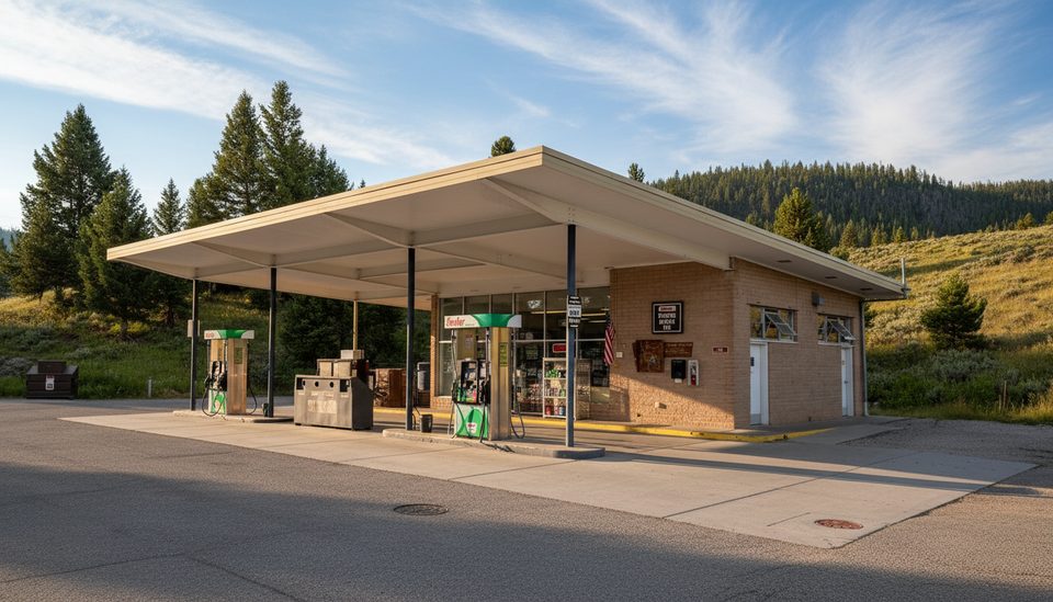
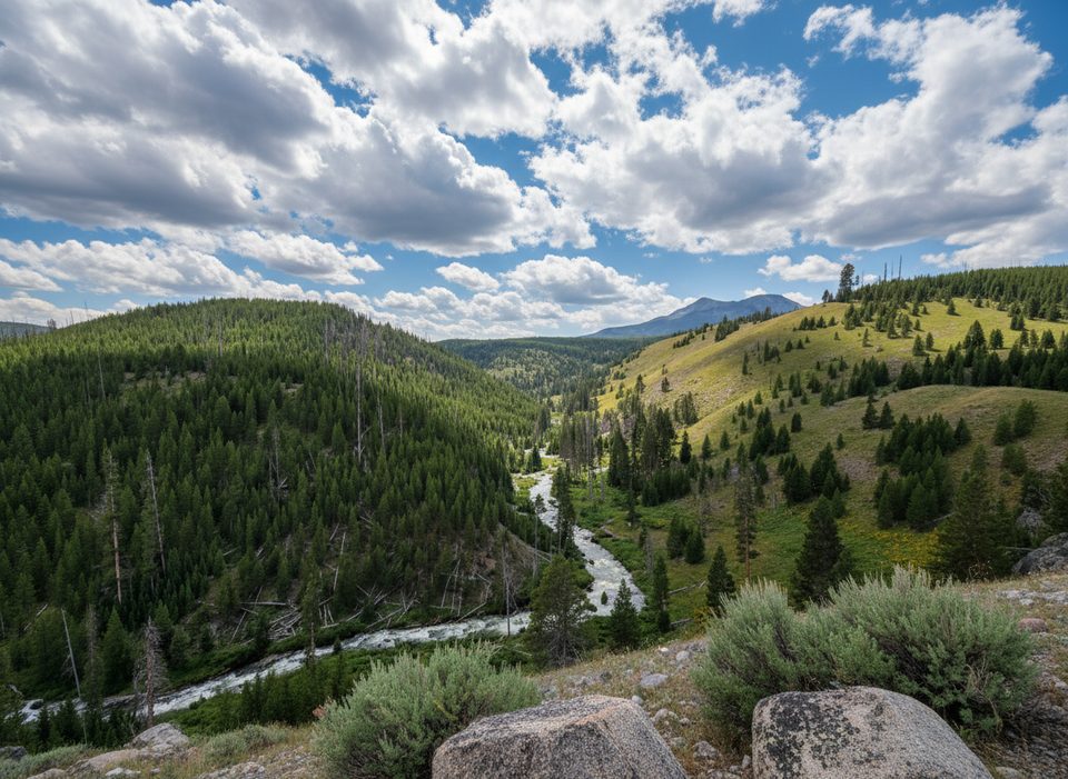
Park near Tower Junction (just east of the gas station), then cross the road to start. Many hikers go clockwise: cruise the old stagecoach road across Pleasant Valley toward the historic Yancey’s site, where open sage flats make for excellent wildlife spotting. The path then tucks into the Elk Creek drainage beneath the talus slopes of Garnet Hill, weaving through riparian willows and alders with pockets of conifers.
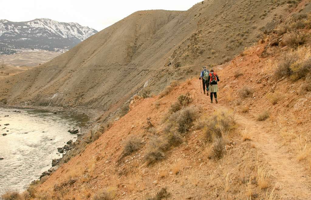
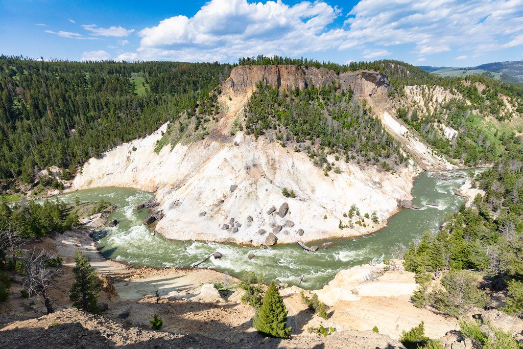
Around 3.5 miles, reach a junction with the Hellroaring and Yellowstone River trails. A short spur leads to the Yellowstone River “swinging” bridge spanning a narrow, roaring gorge—well worth the detour. Close the loop on rolling sagebrush benches with periodic river vistas. The loop typically ends near the Northeast Entrance Road with a brief (~0.25 mile) roadside walk back to your car.
Expect a mix: sun‑baked sagebrush meadows, a cool creek corridor, and airy river viewpoints. Bison and pronghorn commonly graze the flats; elk and coyotes are also regulars. This is bear country—stay alert. Garnet Hill’s flanks expose Precambrian basement rocks; along the Elk Creek side you’ll hike below dark, blocky talus that hints at Yellowstone’s deep geologic story.
Spring and fall shine here with cooler temps, active wildlife, and clearer air. Summer is fully exposed and can be hot and dusty by mid‑day—start early and carry plenty of water. Early season can bring lingering mud in low spots; late season light is excellent for photographing the river corridor and open sage.
Park just east of the gas station at Tower Junction; cross the road to the northwest to start. Expect a ~0.25-mile road walk at the end to return to your vehicle.
Bear country—carry bear spray and know how to use it. Bison often occupy the sage flats; give them wide berth. Exposed, hot sections require extra water and sun protection. Some brushy stretches near Elk Creek and a few junctions demand attention to navigation.
Place · 0 mi away
Place · 0.7 mi away
Place · 0.7 mi away
Place · 0.8 mi away
Challenging · 0 mi away
Challenging · 0 mi away
Moderate · 0 mi away
Easy · 0.9 mi away

Parkwolf Tour Guide
